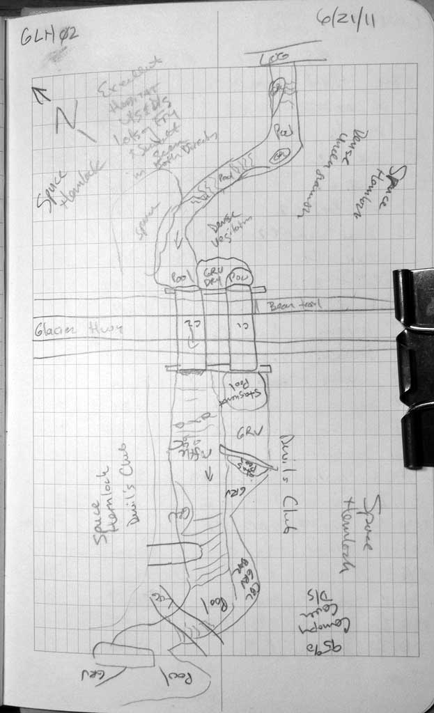
Fish Passage Site 10302240
Coordinates (dec. deg.): 58.61877°, -134.93423°
Legal Description: C037S063E36
Region: Southeast
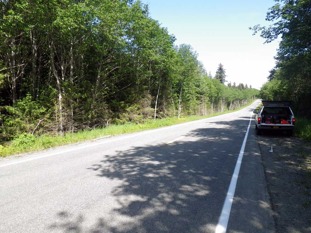
Road Name: Glacier Highway
Datum: NAD83
Quad Name / ITM: Juneau C-3
AWC Stream #:
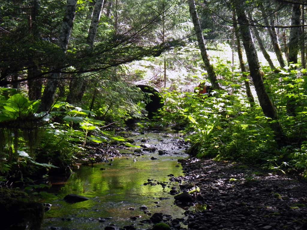
Stream Name: Bridget Cove tributary
Elevation:
Site Comments: Site is between MP 36-37.
Survey SEA11-GLH02
Project Supervisor: Gillian O'Doherty, Alaska Department of Fish and Game
— Anchorage, AK
Observers: Mark Eisenman, Jason Olds
Overall Fish Passage Rating:
Tidal: No
Backwatered: No
Step Pools: No
Construction Year:
Site Observations:
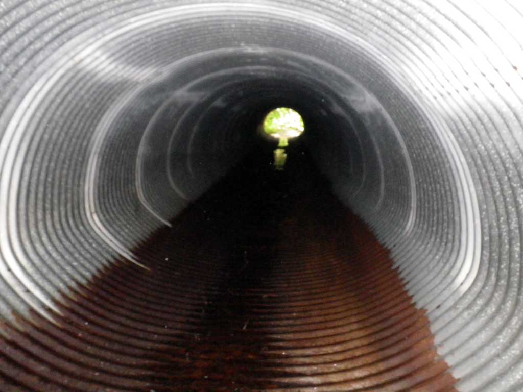
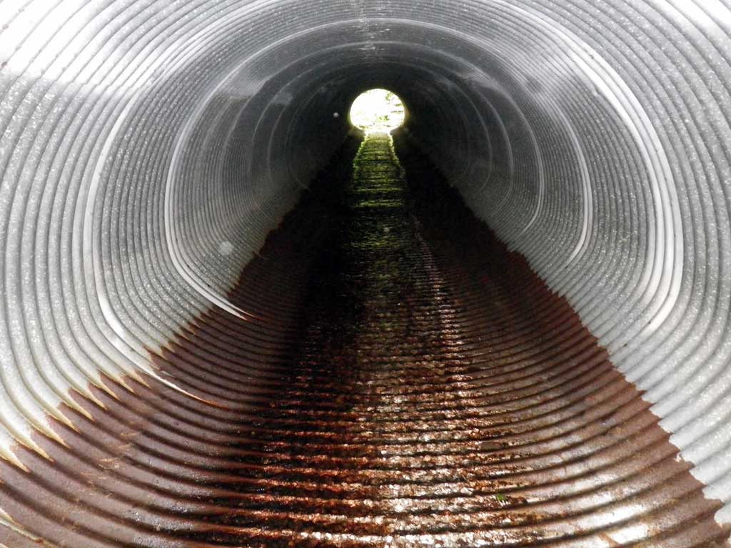
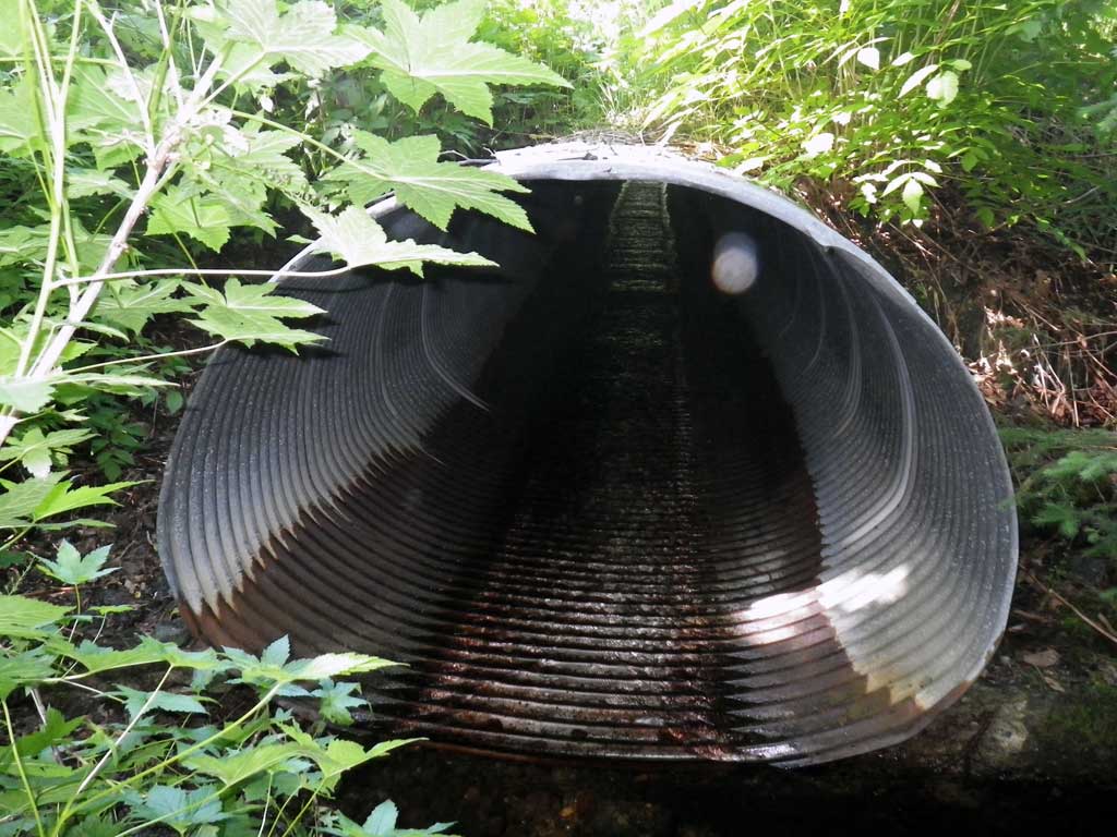
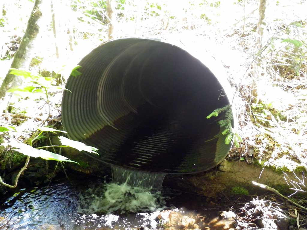
- Culvert gradient red
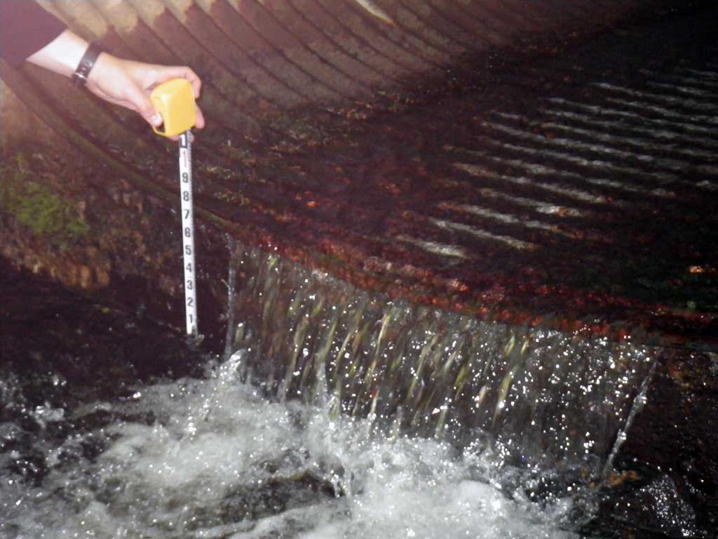
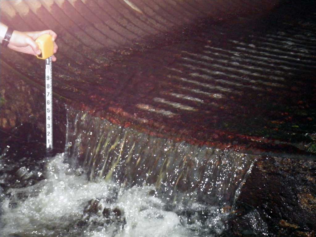
- Outfall height red
- Culvert is poorly aligned
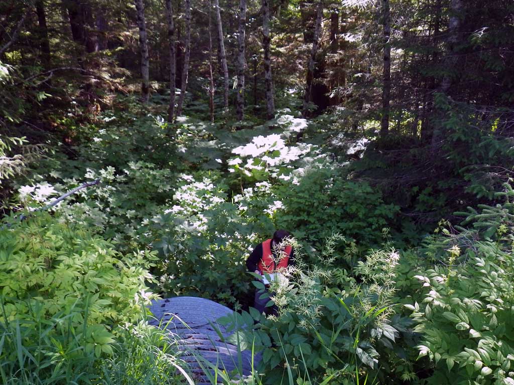
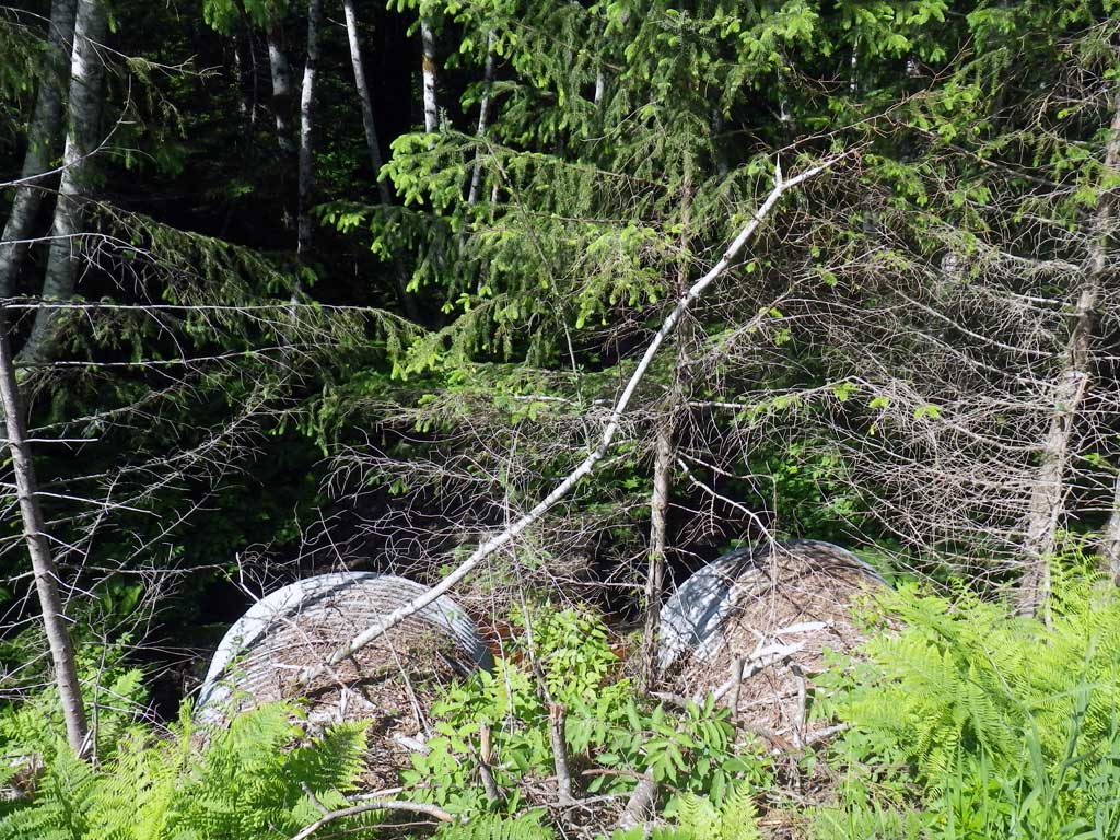
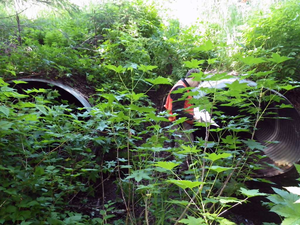
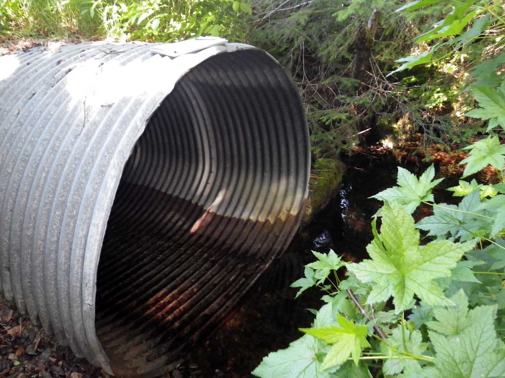
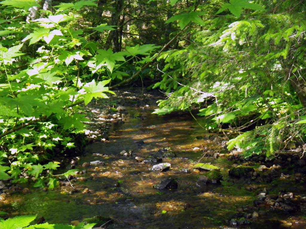
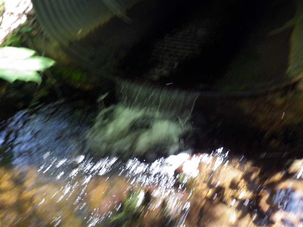
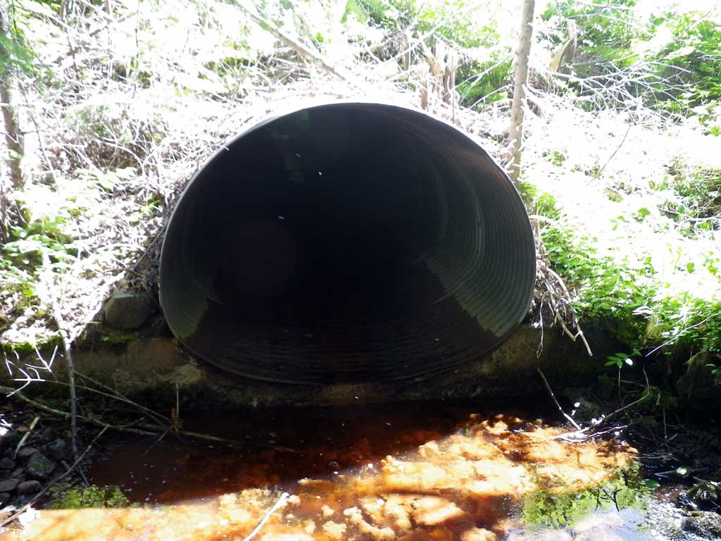
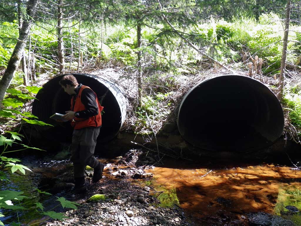
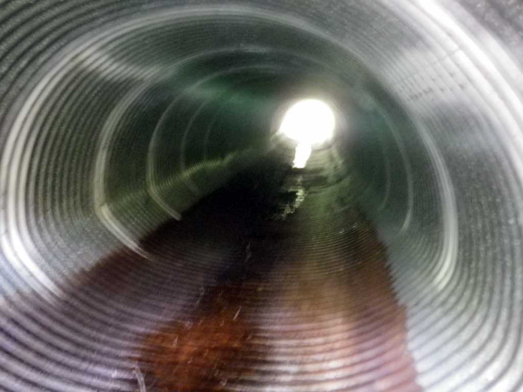
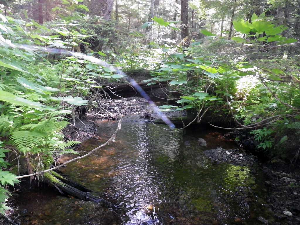
Comments: Juvenile salmonids observed just upstream of culvert. Header under both pipes. Pipe 1 dry. Juvenile salmonids observed downstream. Nice salmonid habitat upstream and downstream. Many fry/fingerlings observed in pool/riffle complexes. Bear activity in area. Nearly right angle of stream at inlet with current stream banks. Unable to collect sufficient points upstream for a stream gradient estimation.
Culvert Measurements
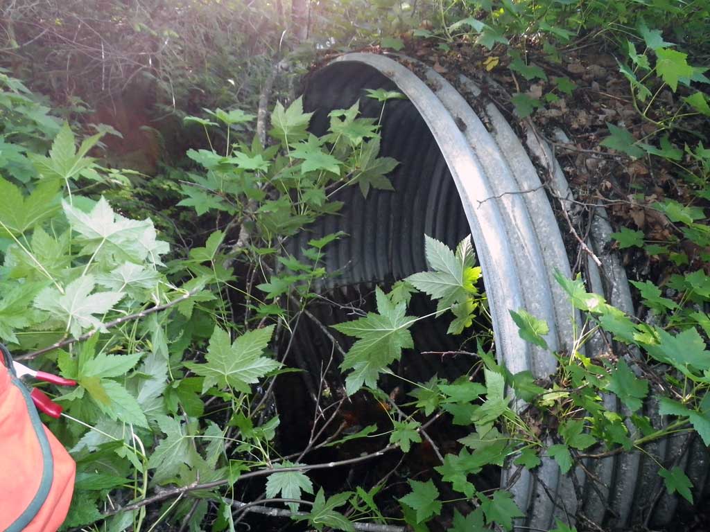
| ID: 1 | Structure Type: Pipe-arch (Corrugated steel) | Fish Passage Rating: | |||||||||||||||||||||||||||||||||||||||||
|
|
|
|||||||||||||||||||||||||||||||||||||||||
Comments: Multiple pipe system constriction ratio used. Culvert dry all flow through C2. |
|||||||||||||||||||||||||||||||||||||||||||
Culvert Observations:
|
|||||||||||||||||||||||||||||||||||||||||||
| ID: 2 | Structure Type: Pipe-arch (Corrugated steel) | Fish Passage Rating: | |||||||||||||||||||||||||||||||||||||||||
|
|
|
|||||||||||||||||||||||||||||||||||||||||
Comments: Multiple pipe constriction ratio calculation used. |
|||||||||||||||||||||||||||||||||||||||||||
Culvert Observations:
|
|||||||||||||||||||||||||||||||||||||||||||
Stream Measurements
|
|
| Stream Width Type | Distance From Crossing (ft) |
Stream Width (ft) |
|---|---|---|
| Upstream ordinary high water | 105.0 | 10.60 |
| Upstream ordinary high water | 150.0 | 8.50 |
| Upstream ordinary high water | 300.0 | 11.30 |
Elevations
| Locator ID | Culvert Number |
River Distance (ft)1 |
Distance From Crossing (ft)2 |
Relative Elevation (ft) |
|---|---|---|---|---|
| Road Elev | 100.18 | |||
| D/S Water Surface Elev | 0.00 | 87.43 | ||
| D/S Grade Ctrl (Thalweg) | 0.00 | 87.19 | ||
| D/S Tailcrest or 1st Thalweg (Pipe #2) | 2 | 45.00 | 87.69 | |
| D/S Water Surface Elev (Pipe #2) | 2 | 45.00 | 88.16 | |
| Outlet Pool Water Elev (Pipe #1) | 1 | 53.00 | 88.18 | |
| Max Pool Depth (Pipe #2) | 2 | 53.00 | 86.98 | |
| D/S Tailcrest or 1st Thalweg (Pipe #1) | 1 | 54.00 | 88.26 | |
| Outlet Pool Water Elev (Pipe #1) | 1 | 55.00 | 88.40 | |
| Max Pool Depth (Pipe #1) | 1 | 55.00 | 87.29 | |
| Outlet Invert (Pipe #2) | 2 | 57.00 | 88.70 | |
| Outlet Invert (Pipe #1) | 1 | 57.00 | 88.78 | |
| D/S Water Surface Elev (Pipe #2 invert out) | 2 | 57.00 | 88.83 | |
| Outlet Culvert Top (Pipe #2) | 2 | 57.00 | 93.86 | |
| Outlet Culvert Top (Pipe #1) | 1 | 57.00 | 93.93 | |
| Inlet Culvert Top (Pipe #2) | 2 | 134.20 | 96.15 | |
| Inlet Culvert Invert (Pipe 2, BOP on metal) | 2 | 134.20 | 90.97 | |
| U/S Water Surface Elev (Pipe 2 Invert in) | 2 | 134.20 | 91.17 | |
| U/S Water Surface Elev (Pipe 1 invert in) | 1 | 134.30 | 91.01 | |
| Inlet Culvert Invert (Pipe 1 BOP on metal) | 1 | 134.30 | 90.96 | |
| Inlet Culvert Top (Pipe #1) | 1 | 134.30 | 96.09 | |
| U/S Headwater (Pipe 1) | 1 | 135.30 | 90.98 | |
| U/S Headwater (Pipe 2) | 2 | 136.20 | 91.17 |
Notes:
- River distance is measured continuously throughout the survey reach along the thalweg of the stream.
- Measured from each end of the crossing along the thalweg of the stream.
Fish Sampling Efforts
| Gear Type: Visual Observation, Ground (A) | Trap Duration(h): 10.0 | |
| Comments: Juvenile coho obsvered upstream and downstream of culvert. | ||
Fish Observations
No fish observations occurred during this survey.
Photos
Questions or comments about this report can be directed to dfg.dsf.webmaster@alaska.gov

