Fish Passage Site 10302178
Coordinates (dec. deg.): 58.33672°, -134.57640°
Legal Description: C041S066E02
Region: Southeast
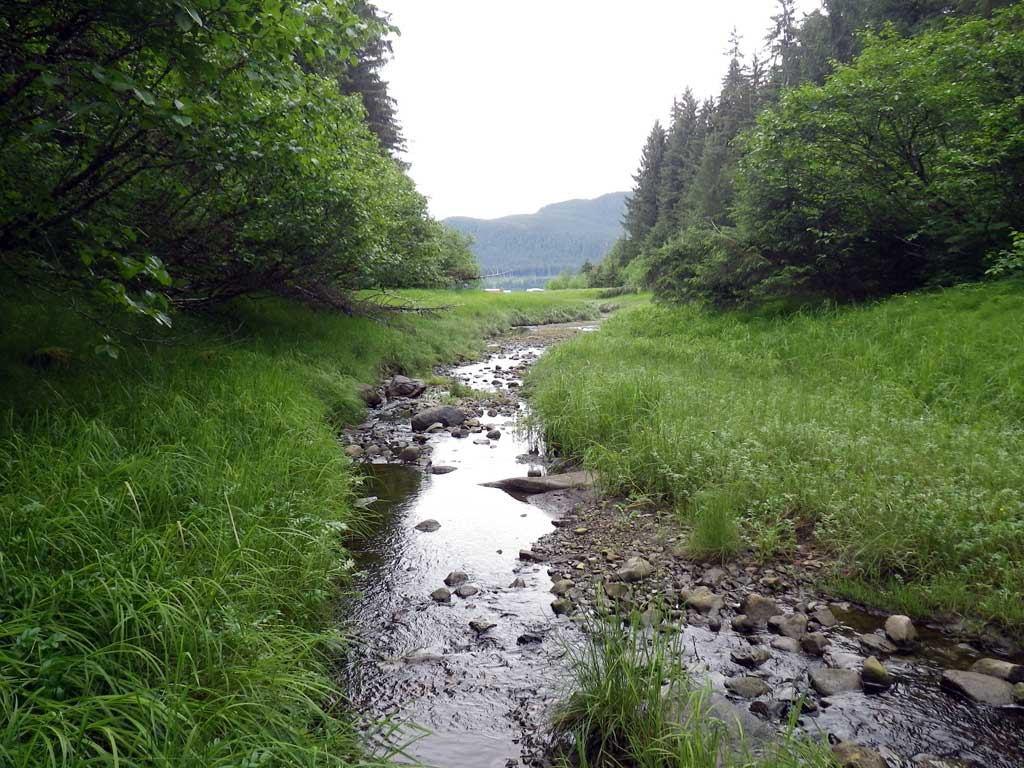
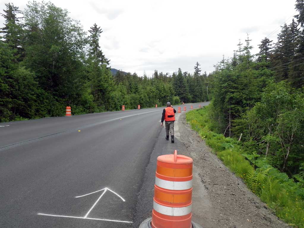
Road Name: North Douglas Highway
Datum: NAD83
Quad Name / ITM: Juneau B-2
AWC Stream #: 111-50-10670
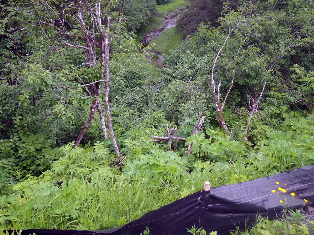
Stream Name: Ninemile Creek
Elevation:
Site Comments: None
arrow to the right of the survey date below to choose a different report for this site.
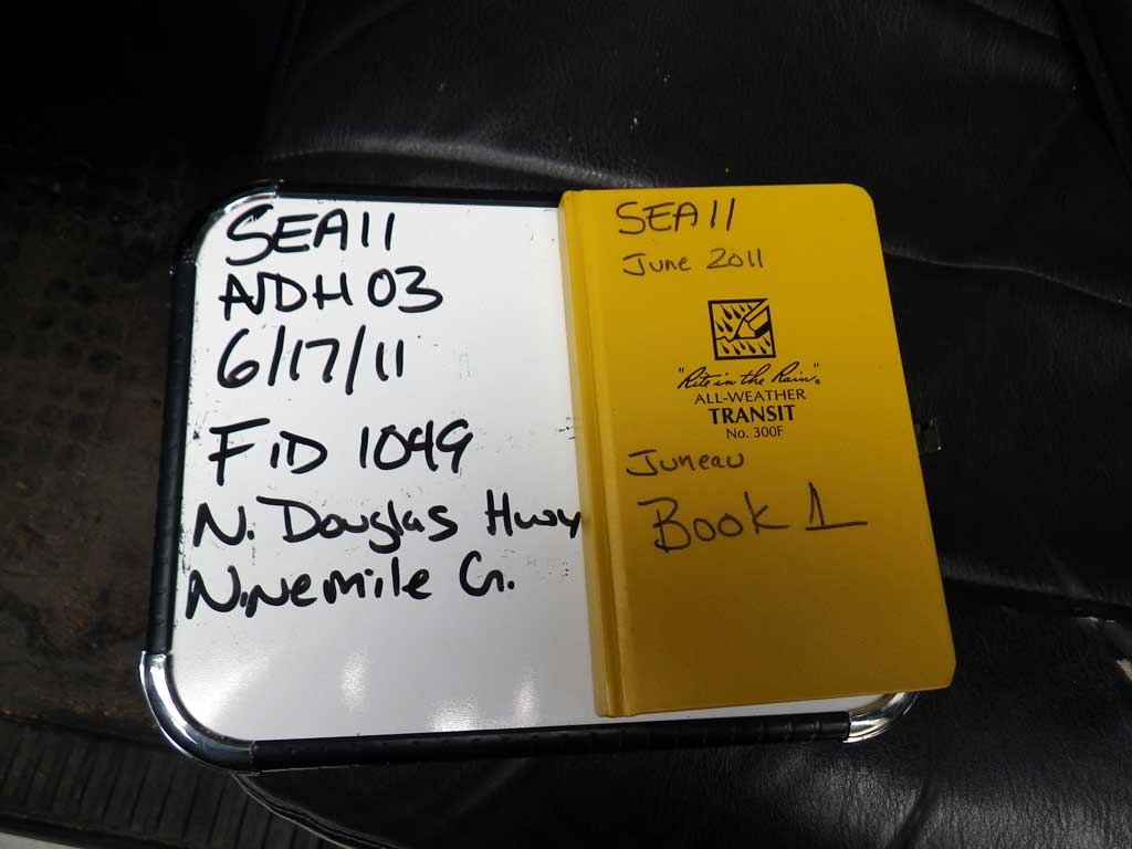
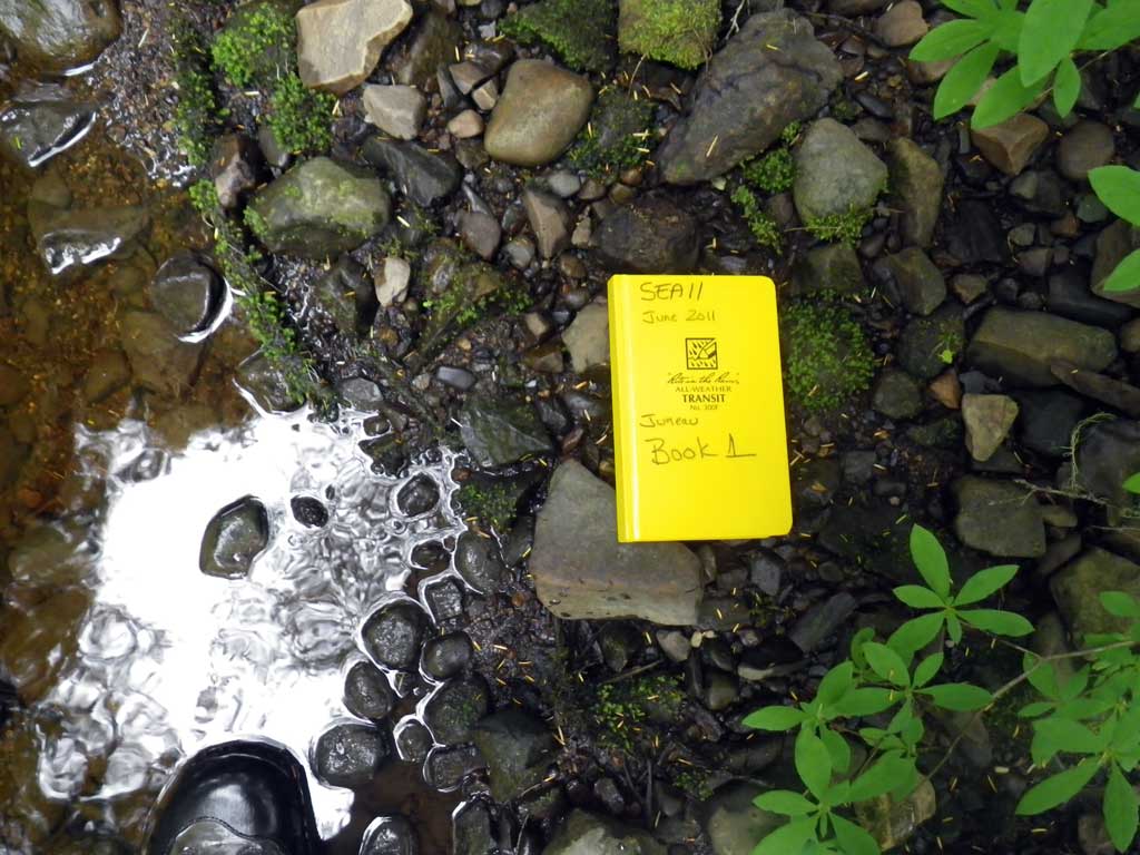
Survey SEA11-NDH03
Project Supervisor: Gillian O'Doherty, Alaska Department of Fish and Game
— Anchorage, AK
Observers: Mark Eisenman, Jason Olds
Overall Fish Passage Rating:
Tidal: Yes
Backwatered: No
Step Pools: No
Construction Year:
Site Observations:
- Hydraulic flows exceeded capacity
- Mechanical damage or joints parting
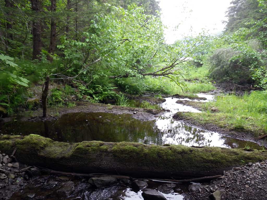
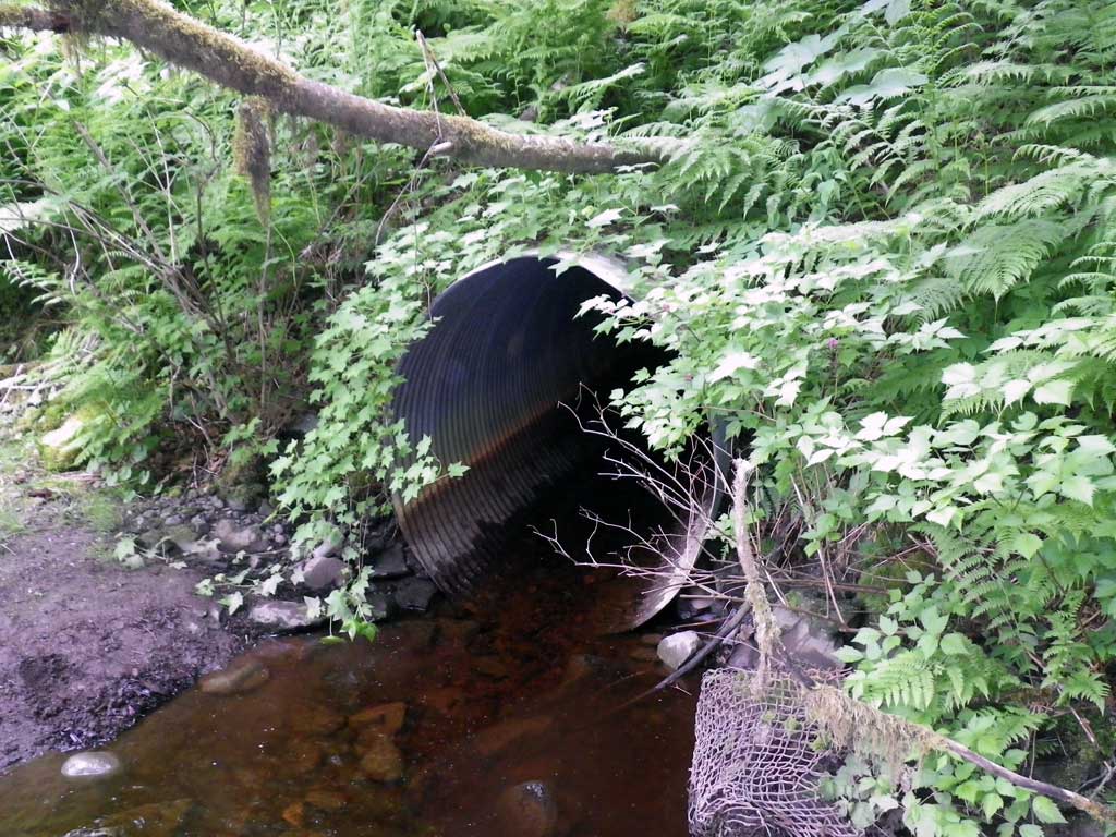
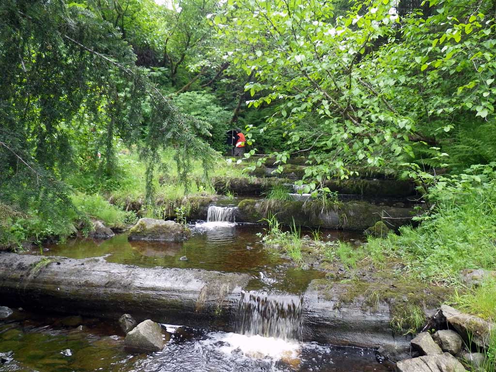
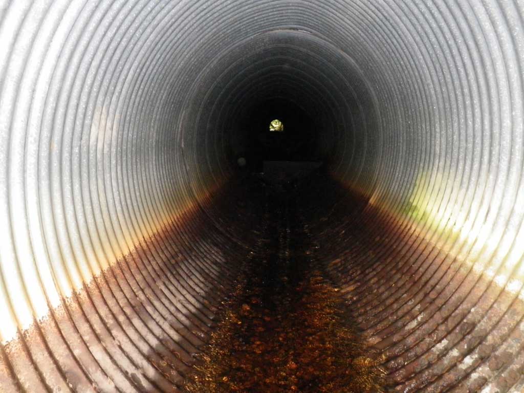
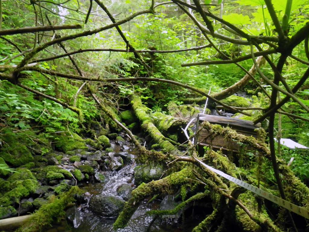
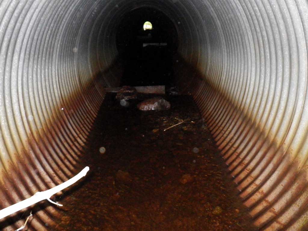
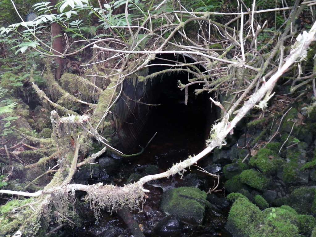
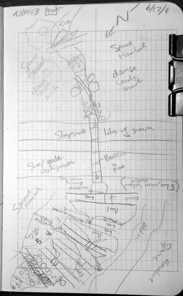
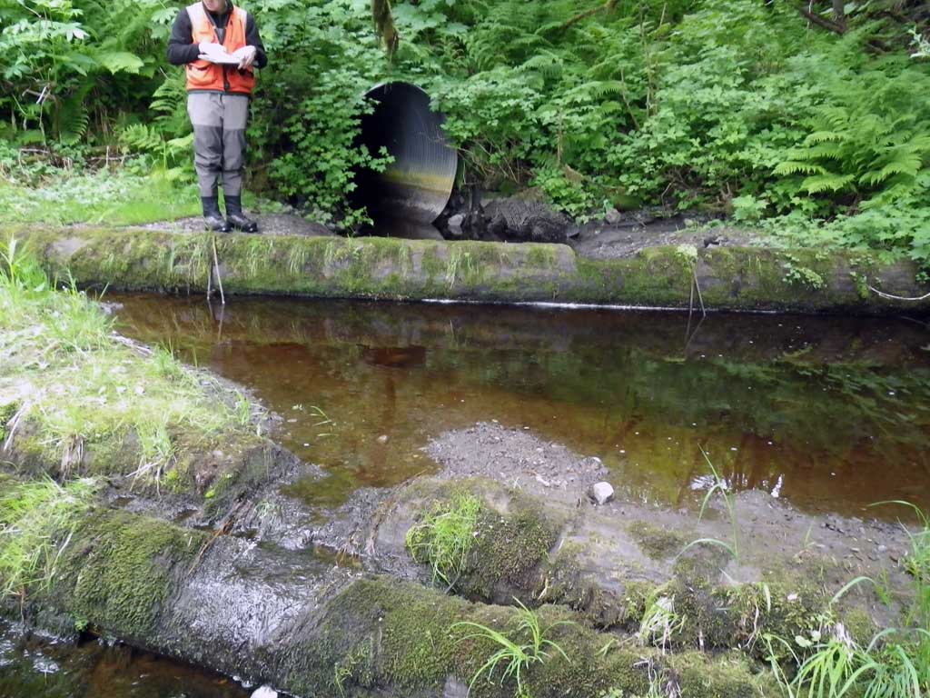
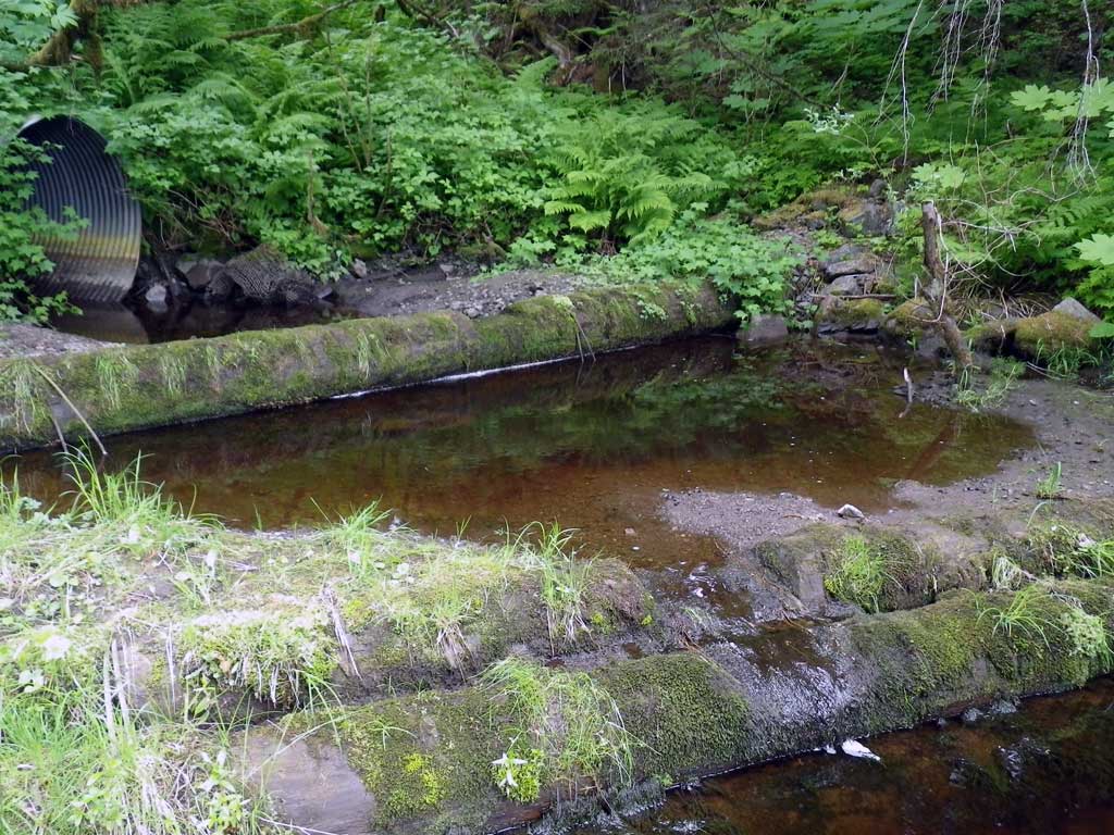
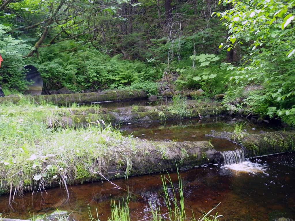
Comments: No traps were set as stream is already in AWC. There are 5 step pool fish ladder structures constructed with log wiers downstream of the invert out. Vertical oval pipe. Wier 1 (closest to invert out) has water flowing subsurface and wier 2 has water flowing mostly around the edges. There is pipe damage inside from rust. Gradient of 1.5% is an estimate using the laser range finder as pipe length/grade was too long/steep to get an accurate measurement with Leica level and over road was impared by too much fill, steep grade and overgrown vegetation. Rustline eaten through pipe in significant sections. Pipe sections parting. Pipe may have been embedded at one time.
Culvert Measurements
| ID: 1 | Structure Type: Oval (Corrugated steel) | Fish Passage Rating: | |||||||||||||||||||||||||||||||||||||||||
|
|
|
|||||||||||||||||||||||||||||||||||||||||
Comments: Slope is estimated. |
|||||||||||||||||||||||||||||||||||||||||||
Culvert Observations:
|
|||||||||||||||||||||||||||||||||||||||||||
Stream Measurements
|
|
| Stream Width Type | Distance From Crossing (ft) |
Stream Width (ft) |
|---|---|---|
| Upstream ordinary high water | 39.0 | 10.90 |
| Upstream ordinary high water | 57.0 | 9.20 |
| Upstream ordinary high water | 99.0 | 9.70 |
Elevations
| Locator ID | Culvert Number |
River Distance (ft)1 |
Distance From Crossing (ft)2 |
Relative Elevation (ft) |
|---|---|---|---|---|
| D/S Grade Ctrl (Thalweg) | 0.00 | 95.83 | ||
| D/S Water Surface Elev | 0.00 | 96.15 | ||
| D/S Grade Ctrl (Thalweg) | 39.00 | 97.81 | ||
| D/S Water Surface Elev | 39.00 | 97.99 | ||
| D/S Water Surface Elev (Below log wier 5) | 43.00 | 97.98 | ||
| Max Pool Depth (Below log wier 5) | 43.00 | 96.81 | ||
| D/S Grade Ctrl (Thalweg) (Log wier 5, on log notch) | 45.00 | 98.89 | ||
| D/S Water Surface Elev (Log wier 5) | 45.00 | 99.07 | ||
| D/S Water Surface Elev (Below log wier 4) | 54.50 | 99.15 | ||
| Max Pool Depth (Below log wier 4) | 54.50 | 98.03 | ||
| D/S Grade Ctrl (Thalweg) (Log wier 4, on log notch) | 56.00 | 99.89 | ||
| D/S Water Surface Elev (Log wier 4) | 56.00 | 100.11 | ||
| D/S Water Surface Elev (Below log wier 3) | 63.00 | 100.17 | ||
| Max Pool Depth (Below log wier 3) | 63.00 | 99.06 | ||
| D/S Grade Ctrl (Thalweg) (Log wier 3, on log notch) | 65.50 | 100.73 | ||
| D/S Water Surface Elev (Log wier 3) | 65.50 | 100.89 | ||
| D/S Water Surface Elev (Below log wier 2) | 71.00 | 100.97 | ||
| Max Pool Depth (Below log wier 2) | 71.00 | 99.91 | ||
| D/S Grade Ctrl (Thalweg) (Log wier 2, on log notch) | 75.00 | 101.73 | ||
| D/S Water Surface Elev (Log wier 2) | 75.00 | 101.78 | ||
| D/S Water Surface Elev (Below log wier 1) | 80.00 | 101.81 | ||
| Max Pool Depth (Below log wier 1) | 80.00 | 100.22 | ||
| D/S Grade Ctrl (Thalweg) (Log wier 1, on log notch, no water flow) | 83.50 | 102.63 | ||
| Outlet Pool Water Elev | 88.50 | 102.08 | ||
| Max Pool Depth (Pool below invert out) | 88.50 | 101.36 | ||
| Outlet Invert (Invert out, on metal) | 93.00 | 101.65 | ||
| D/S Water Surface Elev (Invert out) | 93.00 | 102.08 |
Notes:
- River distance is measured continuously throughout the survey reach along the thalweg of the stream.
- Measured from each end of the crossing along the thalweg of the stream.
Fish Sampling Efforts
| Gear Type: None (A) | ||
| Comments: No traps set no fish observed. | ||
Fish Observations
No fish observations occurred during this survey.
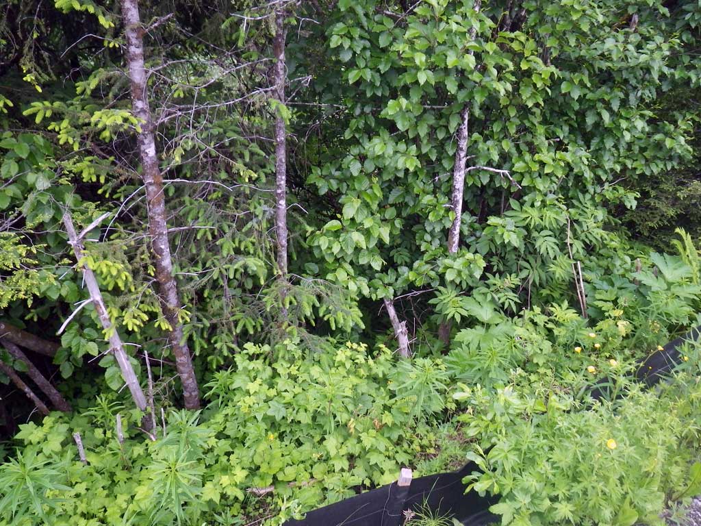
Photos

Questions or comments about this report can be directed to dfg.dsf.webmaster@alaska.gov