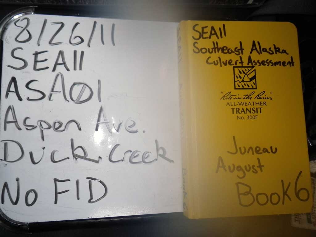
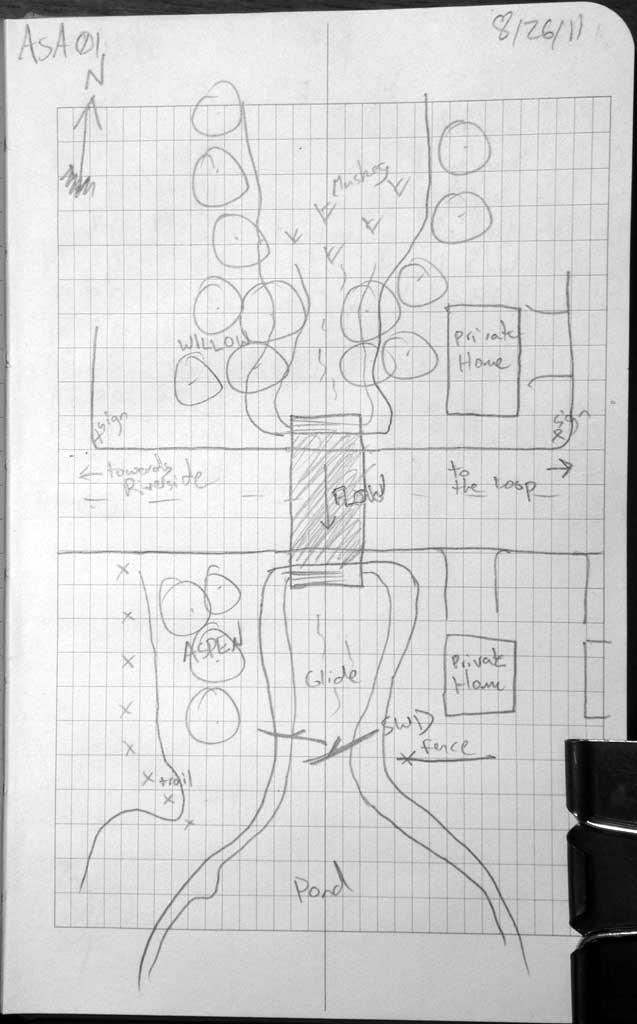
Fish Passage Site 10302176
Coordinates (dec. deg.): 58.39116°, -134.57527°
Legal Description: C040S066E19
Region: Southeast
Road Name: Aspen Avenue
Datum: NAD83
Quad Name / ITM: Juneau B-2
AWC Stream #:
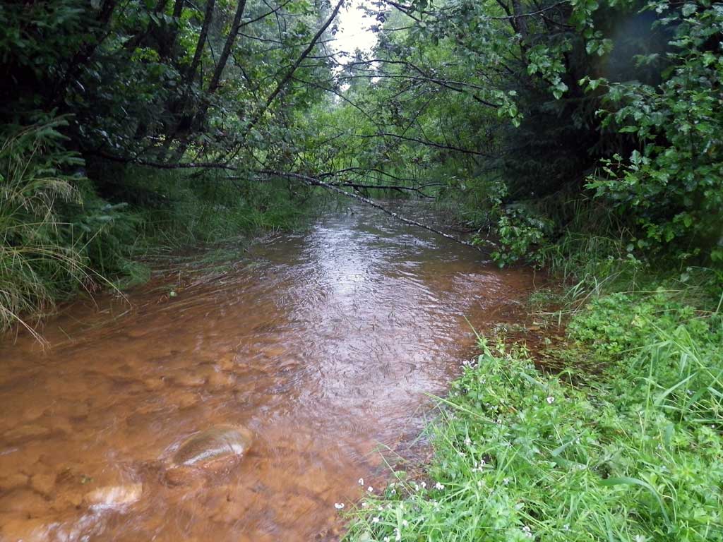
Stream Name: Duck Creek
Elevation:
Site Comments: None
Survey SEA11-ASA01
Project Supervisor: Gillian O'Doherty, Alaska Department of Fish and Game
— Anchorage, AK
Observers: Jason Olds, Charmagne Gutierrez
Overall Fish Passage Rating:
Tidal: No
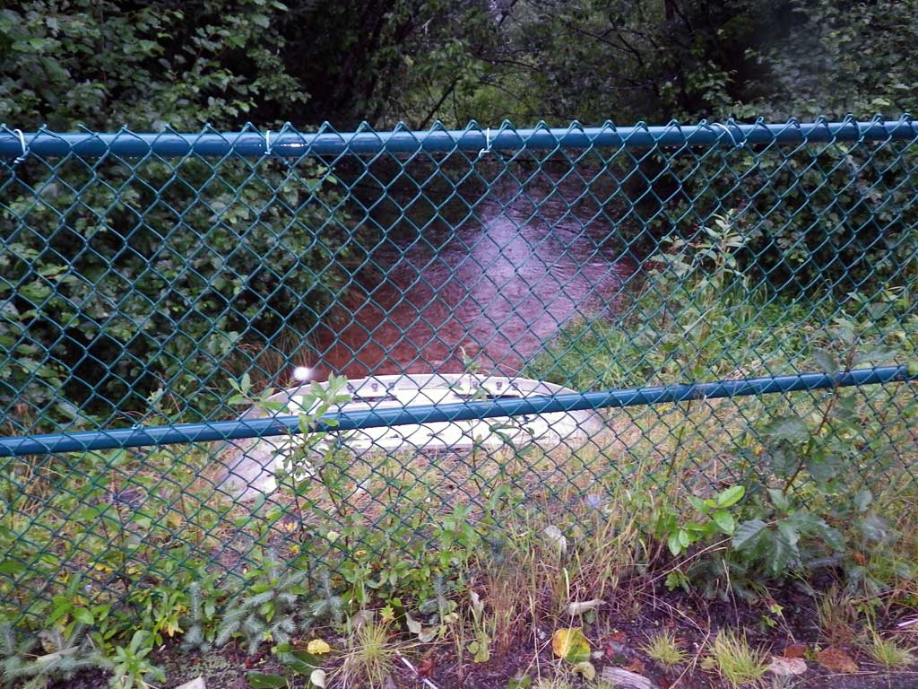
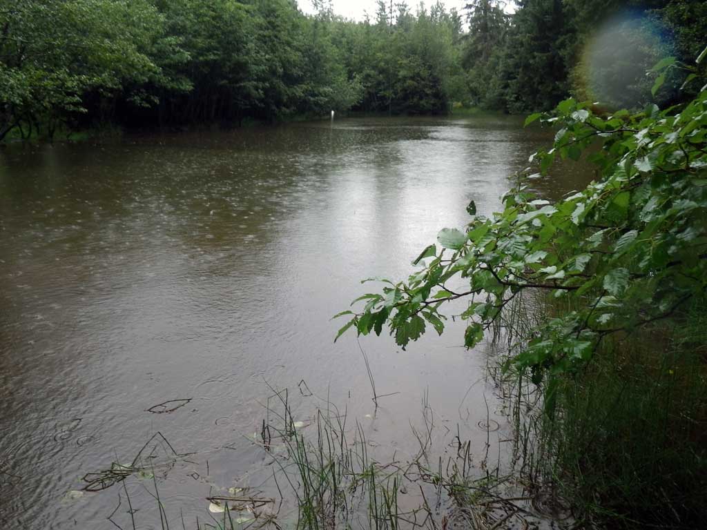
Backwatered: Yes
Step Pools: No
Construction Year:
Site Observations:
- None of this type
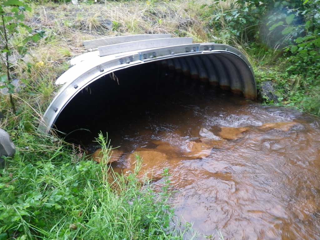
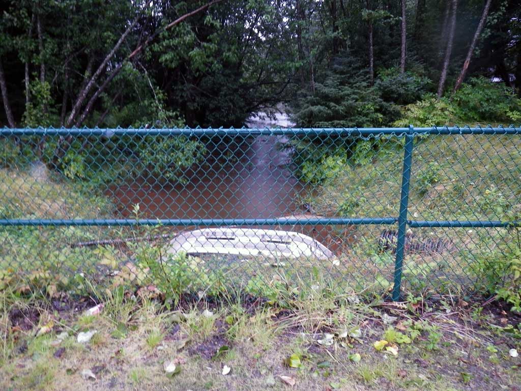
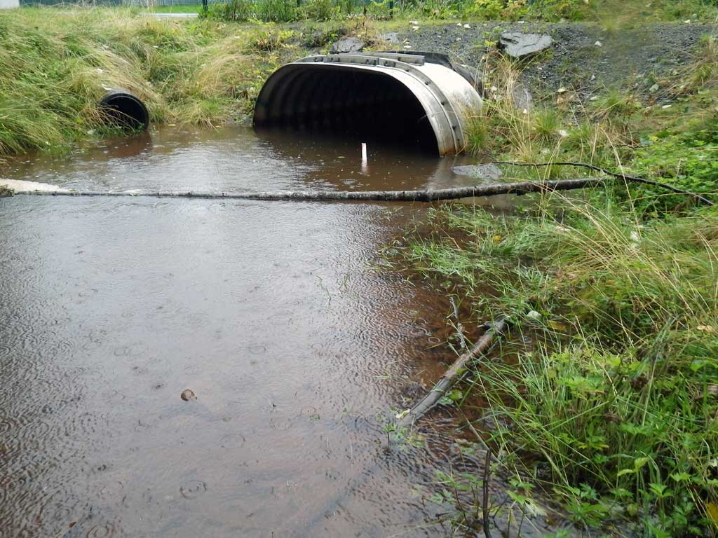
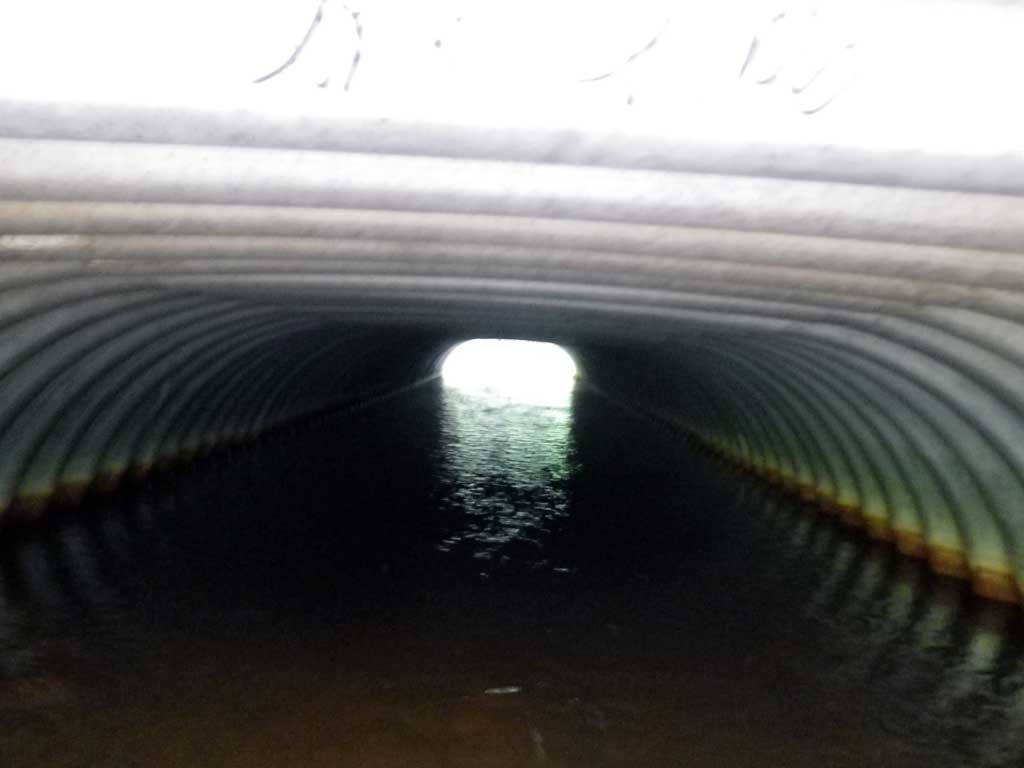
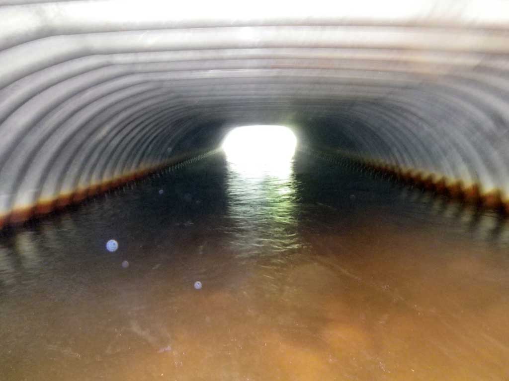
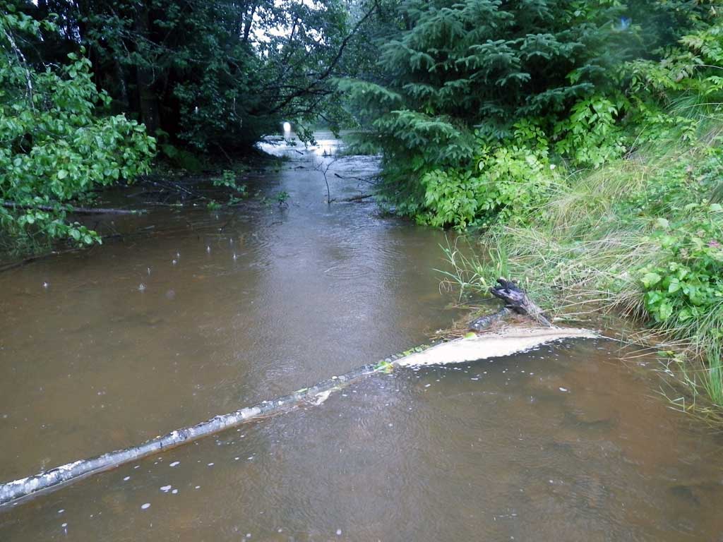
Comments: No fish observed and no traps were set as stream is already in the AWC. Open bottom irregular aluminum structure.
Culvert Measurements
| ID: 1 | Structure Type: Other (Structural aluminum plate) | Fish Passage Rating: | |||||||||||||||||||||||||||||||||||||||||
|
|
|
|||||||||||||||||||||||||||||||||||||||||
Comments: Open bottom irregular shaped aluminum structure. Ponded upstream and downstream from culvert. |
|||||||||||||||||||||||||||||||||||||||||||
Culvert Observations:
|
|||||||||||||||||||||||||||||||||||||||||||
Stream Measurements
|
|
No stream width data available.
Elevations
| Locator ID | Culvert Number |
River Distance (ft)1 |
Distance From Crossing (ft)2 |
Relative Elevation (ft) |
|---|---|---|---|---|
| Road Elev | 99.94 | |||
| D/S Water Surface Elev | 0.00 | 95.74 | ||
| Misc. (Survey point, pond) | 0.00 | 94.44 | ||
| Outlet Culvert Top | 5.00 | 98.17 | ||
| D/S Water Surface Elev | 5.00 | 95.74 | ||
| Outlet Invert (On substrate) | 5.00 | 93.76 | ||
| U/S Water Surface Elev | 60.40 | 95.74 | ||
| Inlet Culvert Top | 60.40 | 98.24 | ||
| Inlet Culvert Invert (On substrate) | 60.40 | 94.80 | ||
| U/S Headwater | 64.00 | 95.80 |
Notes:
- River distance is measured continuously throughout the survey reach along the thalweg of the stream.
- Measured from each end of the crossing along the thalweg of the stream.
Fish Sampling Efforts
No fish sampling occurred during this survey.
Fish Observations
No fish observations occurred during this survey.
Photos
Questions or comments about this report can be directed to dfg.dsf.webmaster@alaska.gov

