Fish Passage Site 60401749
Coordinates (dec. deg.): 68.24312°, -149.42302°
Legal Description: U014S012E08
Region: Arctic
Road Name: Dalton Highway
Datum: NAD83
Quad Name / ITM: Philip Smith Mts A-5
AWC Stream #:
Stream Name: Atigun River tributary
Elevation:
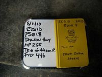
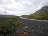
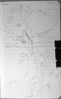
Site Comments: Mile 255 Dalton Highway; Trib to Atigun River. Pipe 1 DOT # - 542+10, 48" x 110', Pipe 2 DOT # - 542+16, 48" x 110'
Survey EDS10-PS018
Observers: Mark Eisenman, Justin Leon
Overall Fish Passage Rating:
Tidal:
Backwatered:
Step Pools:
Construction Year:
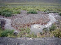
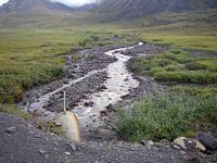
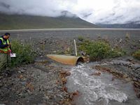
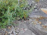
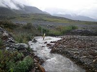
Comments: Pipe 1 DOT # - 542+10, 48" x 110', Pipe 2 DOT # - 542+16, 48" x 110'; photo site; pipe 1 is completely covered in sediment, outlet could not be found; pipe 2 outlet is submerged and cannot be seen; high water
Culvert Measurements
| ID: 1 | Structure Type:N/A | Fish Passage Rating: | |||||||||||||||||||||||||||||||||||||||||
|
|
|
|||||||||||||||||||||||||||||||||||||||||
| ID: 2 | Structure Type:N/A | Fish Passage Rating: | |||||||||||||||||||||||||||||||||||||||||
|
|
|
|||||||||||||||||||||||||||||||||||||||||
Stream Measurements
|
|
No stream width data available.
Elevations
No elevation data available.
Fish Sampling Efforts
No fish sampling occurred during this survey.
Fish Observations
No fish observations occurred during this survey.
Questions or comments about this report can be directed to dfg.dsf.webmaster@alaska.gov
