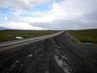
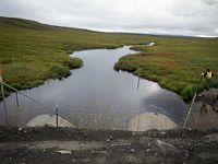
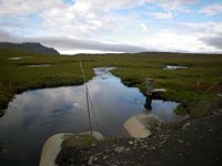
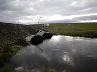
Fish Passage Site 60401746
Coordinates (dec. deg.): 68.68732°, -149.09582°
Legal Description: U009S013E04
Region: Arctic
Road Name: Dalton Highway
Datum: NAD83
Quad Name / ITM: Philip Smith Mts C-4
AWC Stream #:
Stream Name: Oksrukuyik Creek
Elevation:
Site Comments: No long. Profile done due to high water. MP298
Survey EDS10-PS015
Observers: Mark Eisenman, Justin Leon
Overall Fish Passage Rating:
Tidal: No
Backwatered:
Step Pools: No
Construction Year:
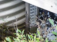
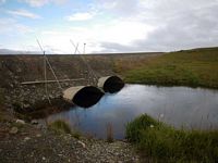
Comments: Water +20' deep, gauging station at this site. No long profile or measurement taken due to high water and high flow. ***This site was suppose to be replaced with a bridge in 2011.***
Culvert Measurements
| ID: 1 | Structure Type: Circular pipe (Structural steel plate) | Fish Passage Rating: | |||||||||||||||||||||||||||||||||||||||||
|
|
|
|||||||||||||||||||||||||||||||||||||||||
| ID: 2 | Structure Type: Circular pipe (Structural steel plate) | Fish Passage Rating: | |||||||||||||||||||||||||||||||||||||||||
|
|
|
|||||||||||||||||||||||||||||||||||||||||
Stream Measurements
|
|
No stream width data available.
Elevations
No elevation data available.
Fish Sampling Efforts
No fish sampling occurred during this survey.
Fish Observations
No fish observations occurred during this survey.
Questions or comments about this report can be directed to dfg.dsf.webmaster@alaska.gov

