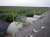
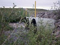
Fish Passage Site 60401744
Coordinates (dec. deg.): 69.15054°, -148.83441°
Legal Description: U003S014E30
Region: Arctic
Road Name: Dalton Highway
Datum: WGS84
Quad Name / ITM: Sagavanirktok A-4
AWC Stream #:
Stream Name: Happy Valley Creek
Elevation:
Site Comments: MP 334 - DOT# 3259+98
arrow to the right of the survey date below to choose a different report for this site.
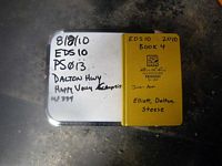
Survey EDS10-PS013
Observers: Mark Eisenman, Justin Leon
Overall Fish Passage Rating:
Tidal:
Backwatered:
Step Pools:
Construction Year:
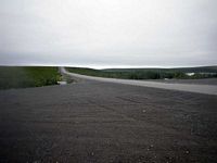
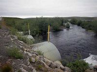
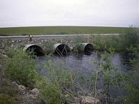
Comments: This culvert was a photo site. The water was too high and flowing too fast to survey.
Culvert Measurements
| ID: 1 | Structure Type:N/A | Fish Passage Rating: | |||||||||||||||||||||||||||||||||||||||||
|
|
|
|||||||||||||||||||||||||||||||||||||||||
| ID: 2 | Structure Type:N/A | Fish Passage Rating: | |||||||||||||||||||||||||||||||||||||||||
|
|
|
|||||||||||||||||||||||||||||||||||||||||
Stream Measurements
|
|
No stream width data available.
Elevations
No elevation data available.
Fish Sampling Efforts
No fish sampling occurred during this survey.
Fish Observations
No fish observations occurred during this survey.
Questions or comments about this report can be directed to dfg.dsf.webmaster@alaska.gov
