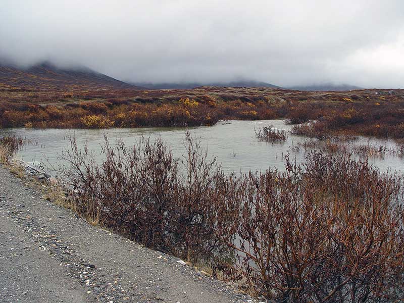
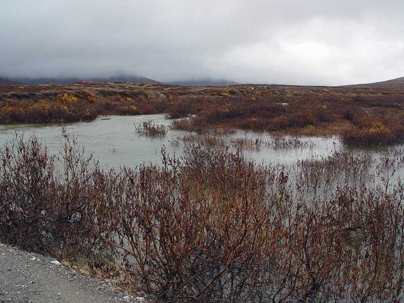
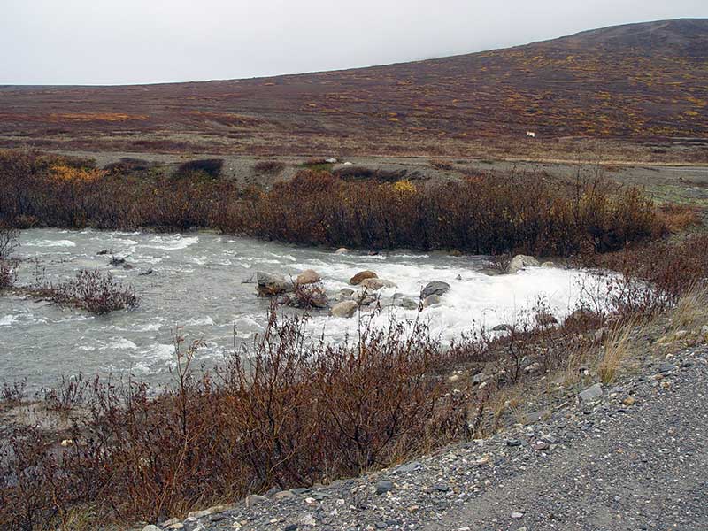
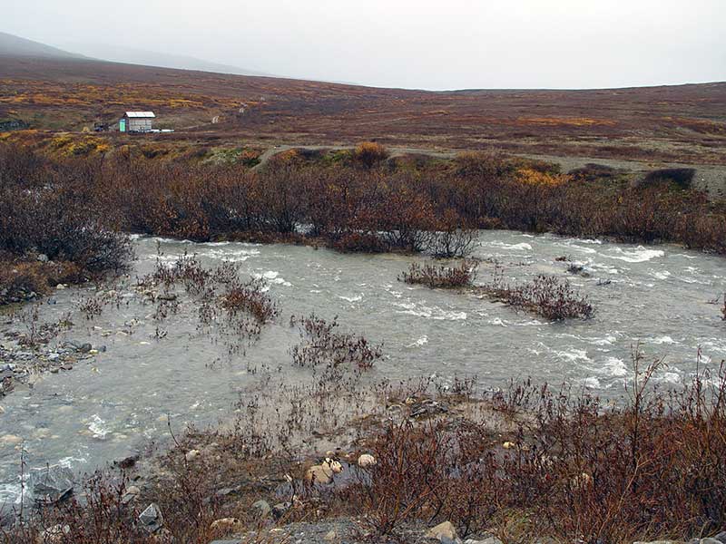
Fish Passage Site 50101612
Coordinates (dec. deg.): 64.84193°, -165.26117°
Legal Description: K007S033W36
Region: Arctic
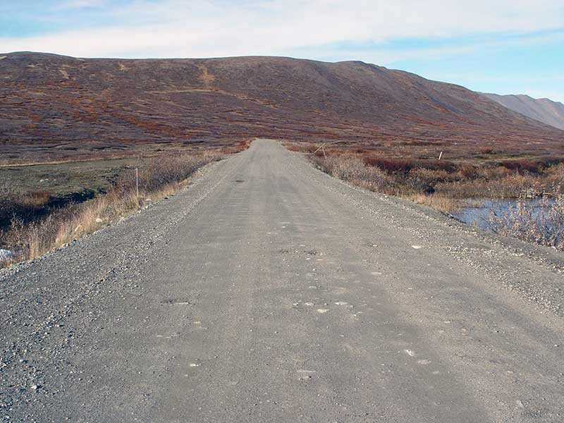
Road Name: Kougarok Road
Datum: NAD83
Quad Name / ITM: Nome D-1
AWC Stream #:
Stream Name:
Elevation:
Site Comments: Mile 27.8
Survey SEW05-KR24
Project Supervisor: Dave Ryland,
Observers: Dave Ryland, Jason Cheney, Paul Thompson
Overall Fish Passage Rating:
Tidal: No
Backwatered: No
Step Pools: No
Construction Year:
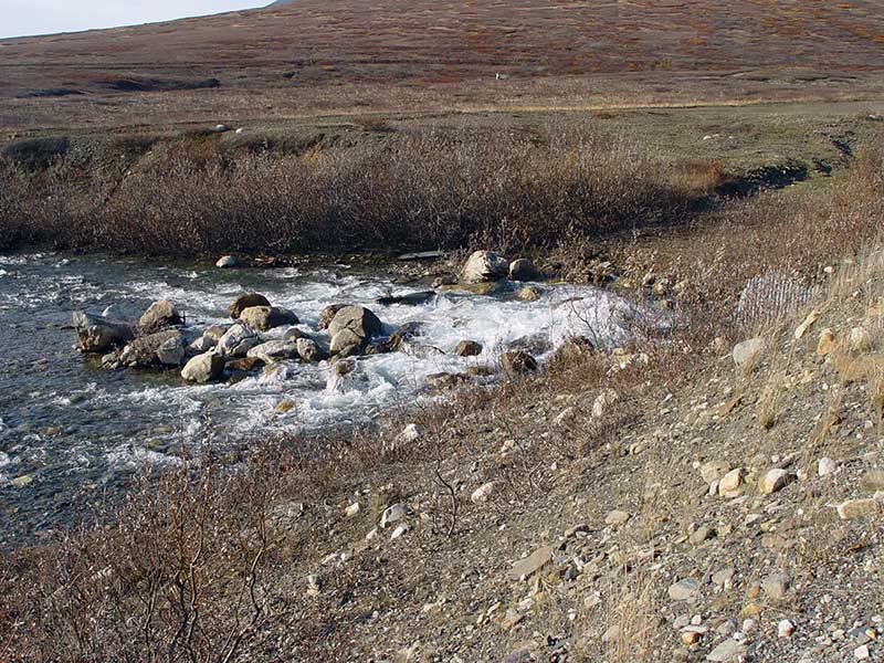
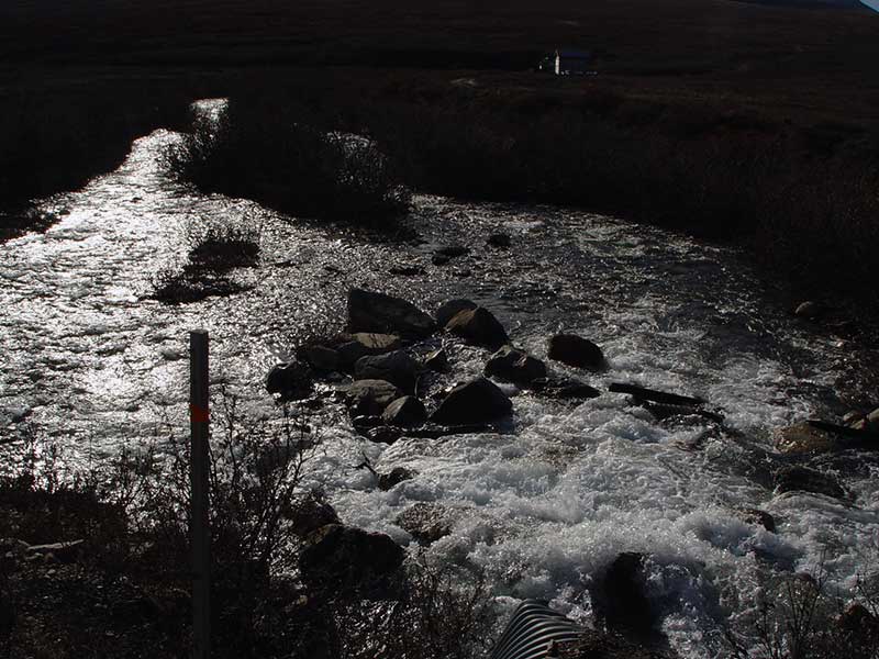
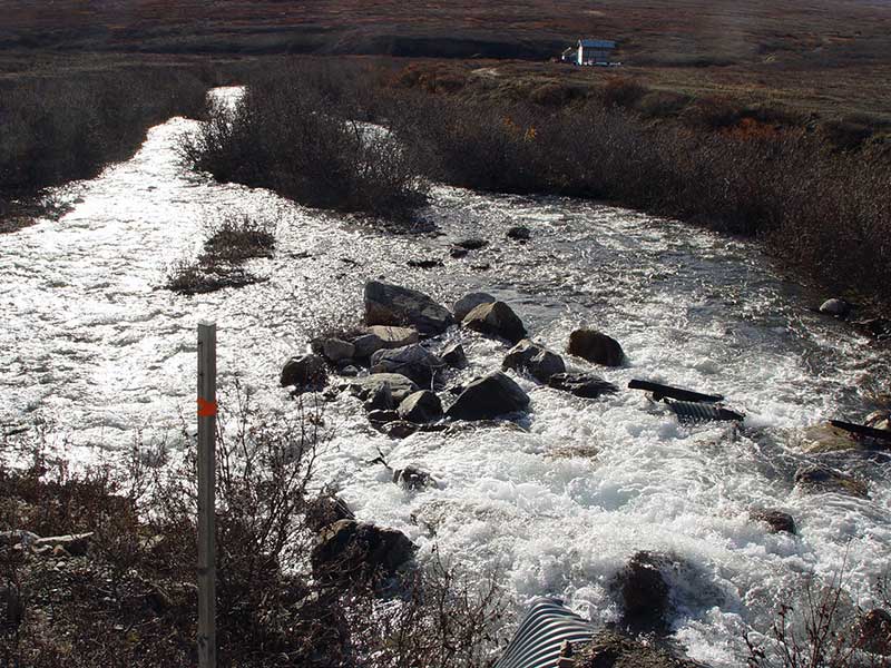
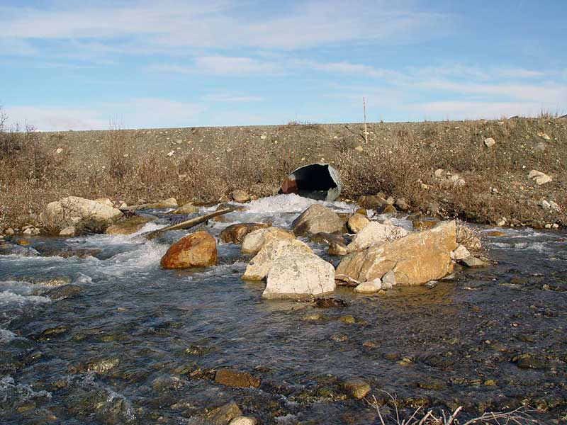
Site Observations:
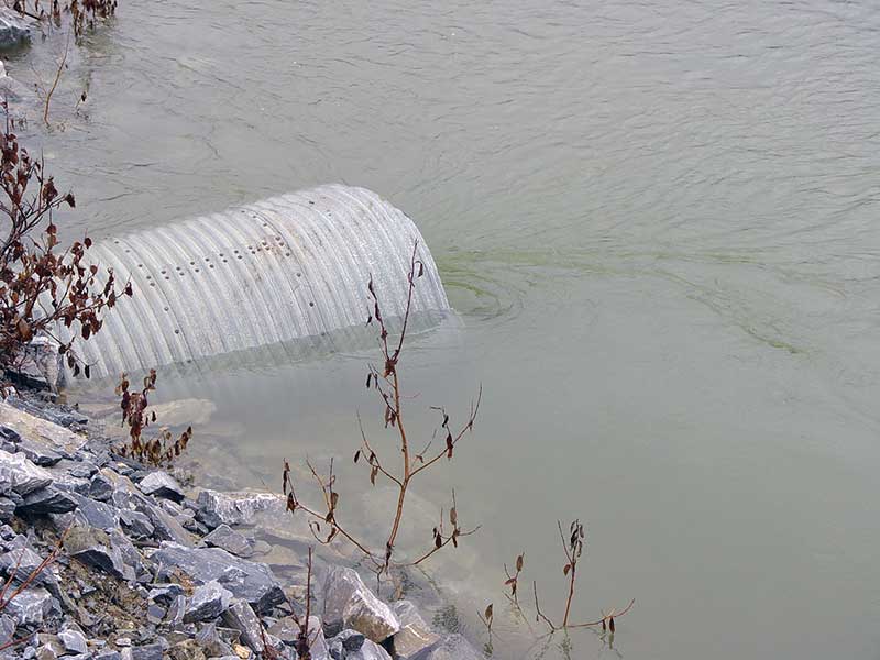
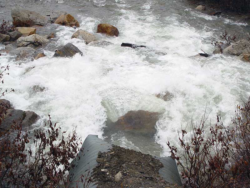
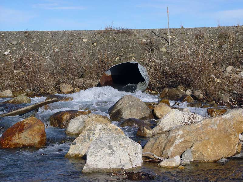
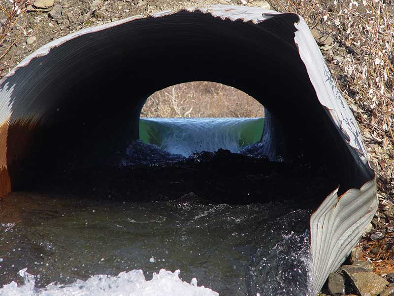
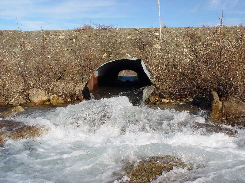
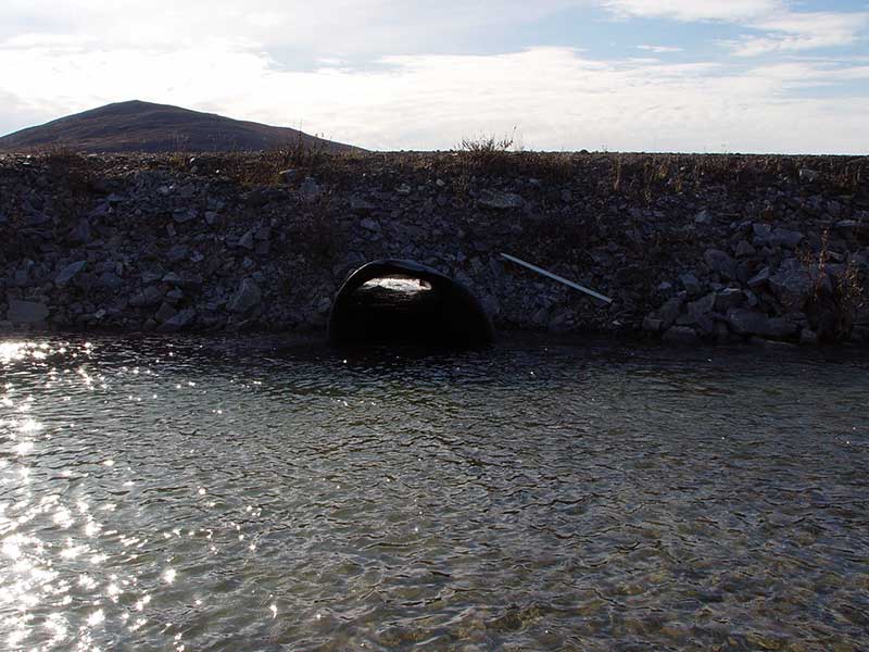
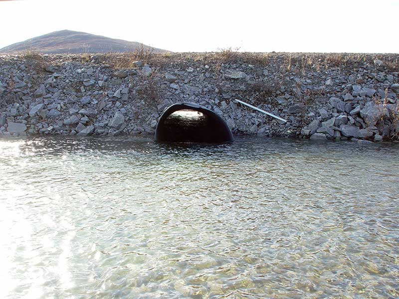
- Culvert is poorly aligned
- Hydraulic flows exceeded capacity
- Culvert gradient gray
- Constriction ratio red
- Inlet perch
Comments: None
Culvert Measurements
| ID: 1 | Structure Type: Circular pipe (Corrugated steel) | Fish Passage Rating: | ||||||||||||||||||||||||||||||||||||||||||
|
|
|
||||||||||||||||||||||||||||||||||||||||||
Comments: rustline height estimated, water vel too high in pipe; |
||||||||||||||||||||||||||||||||||||||||||||
Culvert Observations:
|
||||||||||||||||||||||||||||||||||||||||||||
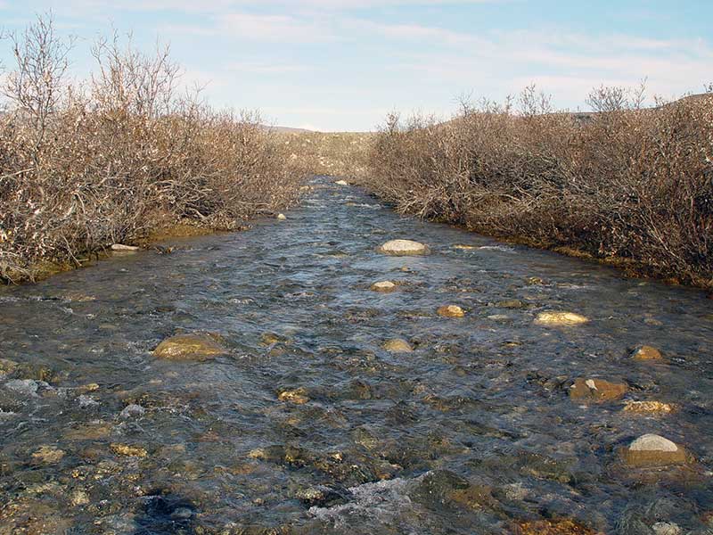
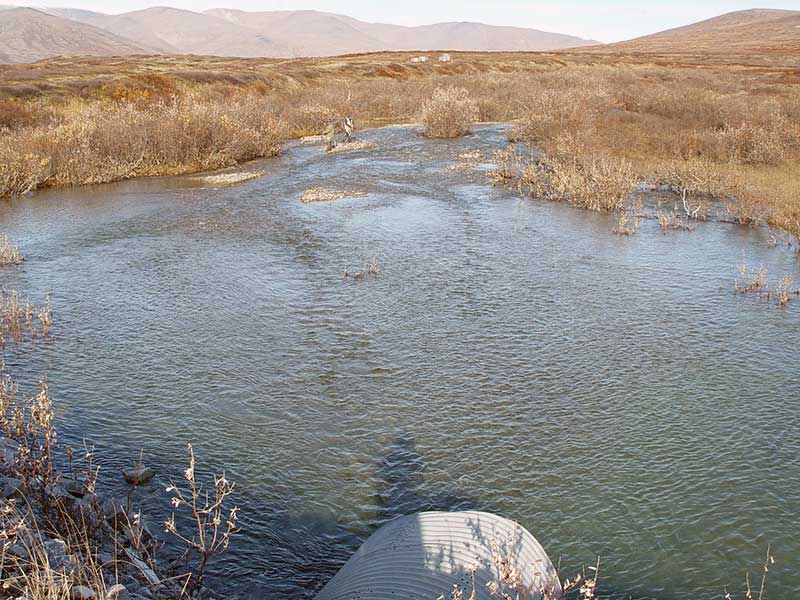
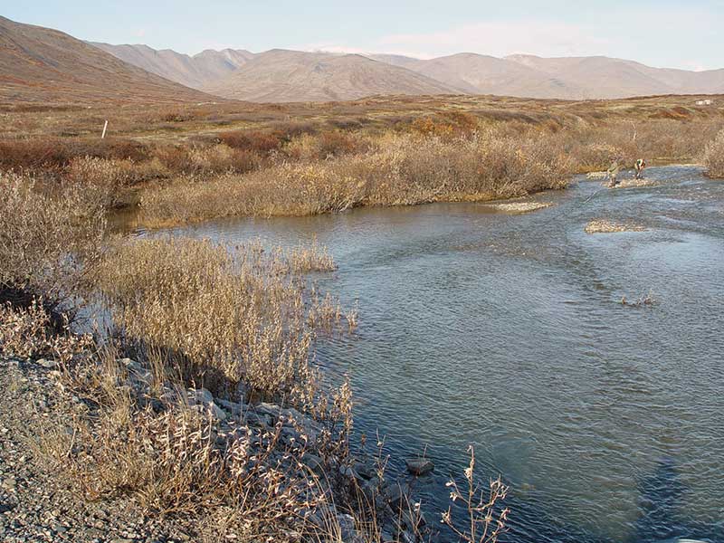
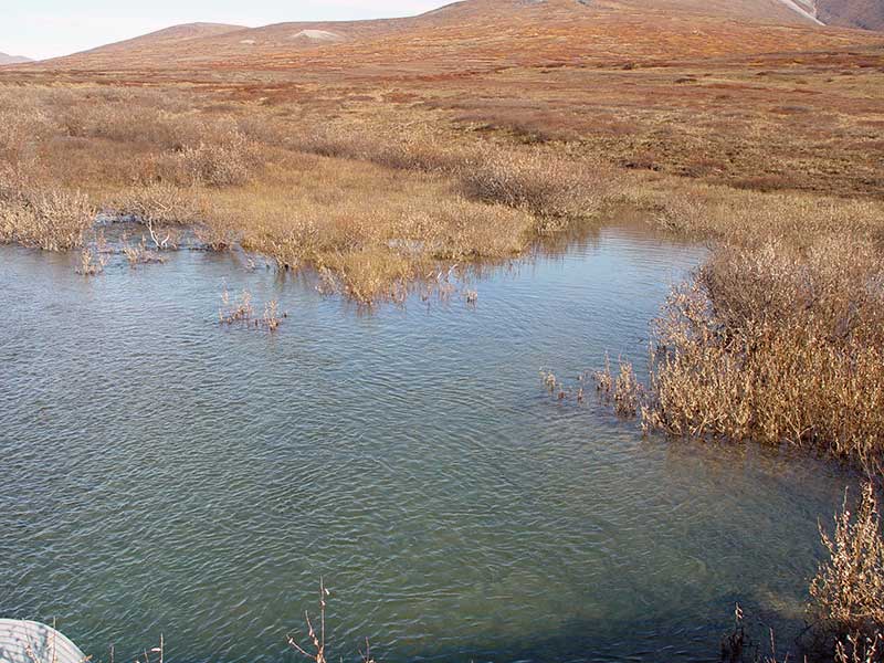
Stream Measurements
|
|
| Stream Width Type | Distance From Crossing (ft) |
Stream Width (ft) |
|---|---|---|
| Downstream ordinary high water | ||
| Downstream ordinary high water | 200.0 | 63.20 |
| Upstream bank full | 75.0 | 184.50 |
| Upstream bank full | 100.0 | 148.00 |
| Upstream bank full | 125.0 | 181.20 |
| Upstream bank full | 150.0 | 156.60 |
| Upstream bed width | 75.0 | 54.30 |
| Upstream bed width | 100.0 | 41.30 |
| Upstream bed width | 125.0 | 39.90 |
| Upstream bed width | 150.0 | 37.60 |
| Upstream ordinary high water | 75.0 | 92.50 |
| Upstream ordinary high water | 100.0 | 63.80 |
| Upstream ordinary high water | 125.0 | 56.80 |
| Upstream ordinary high water | 150.0 | 54.80 |
Elevations
| Locator ID | Culvert Number |
River Distance (ft)1 |
Distance From Crossing (ft)2 |
Relative Elevation (ft) |
|---|---|---|---|---|
| Outlet Pool Water Elev | 91.03 | |||
| U/S Thalweg | 94.00 | |||
| D/S Grade Ctrl (Thalweg) | 0.00 | 200.0 | 84.05 | |
| D/S Grade Ctrl (Thalweg) | 100.00 | 100.0 | 86.61 | |
| D/S Grade Ctrl (Thalweg) | 182.00 | 18.0 | 88.23 | |
| D/S Grade Ctrl (Thalweg) | 182.00 | 18.0 | 88.93 | |
| OHW (Outlet Tailcrest) | 182.00 | 18.0 | 90.32 | |
| Outlet Invert | 1 | 200.00 | 0.0 | 89.93 |
| Road Elev | 230.00 | 102.30 | ||
| Inlet Culvert Invert | 1 | 260.00 | 0.0 | 90.91 |
| U/S Thalweg | 272.00 | 12.0 | 91.54 | |
| U/S Thalweg | 284.00 | 24.0 | 93.27 | |
| U/S Thalweg | 335.00 | 75.0 | 93.32 | |
| U/S Thalweg | 410.00 | 150.0 | 94.92 |
Notes:
- River distance is measured continuously throughout the survey reach along the thalweg of the stream.
- Measured from each end of the crossing along the thalweg of the stream.
Fish Sampling Efforts
No fish sampling occurred during this survey.
Fish Observations
No fish observations occurred during this survey.
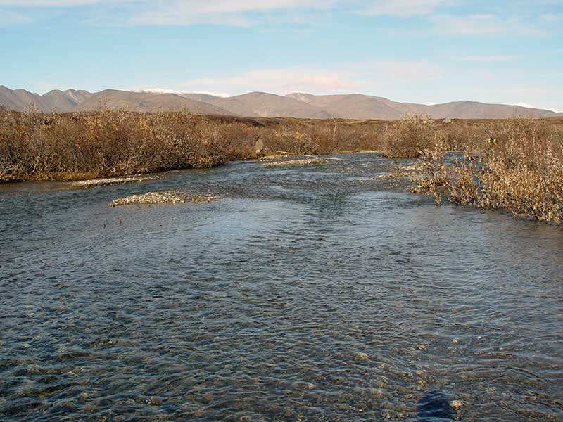
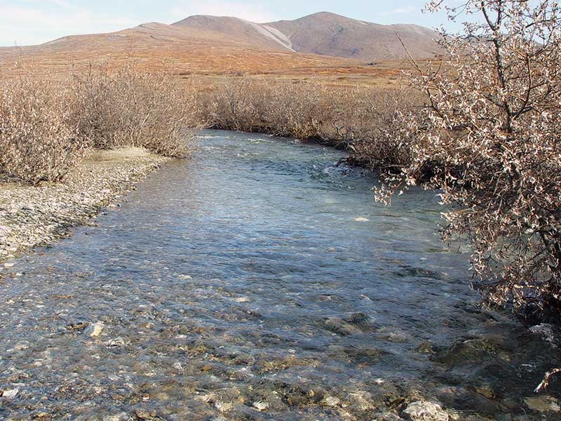
Photos
Questions or comments about this report can be directed to dfg.dsf.webmaster@alaska.gov