Fish Passage Site 50101568
Coordinates (dec. deg.): 64.69656°, -164.12340°
Legal Description: K009S027W20
Region: Arctic
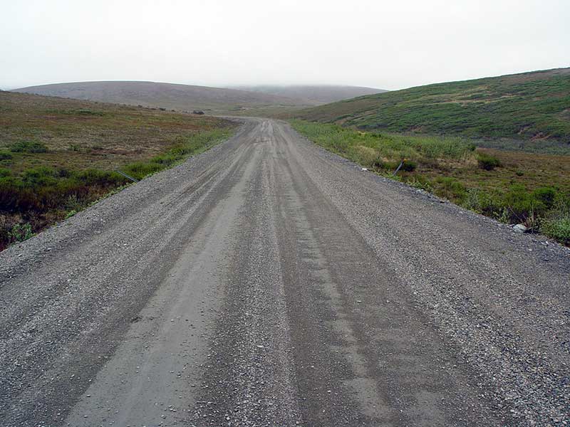
Road Name: Council Road
Datum: NAD83
Quad Name / ITM: Solomon C-5
AWC Stream #:
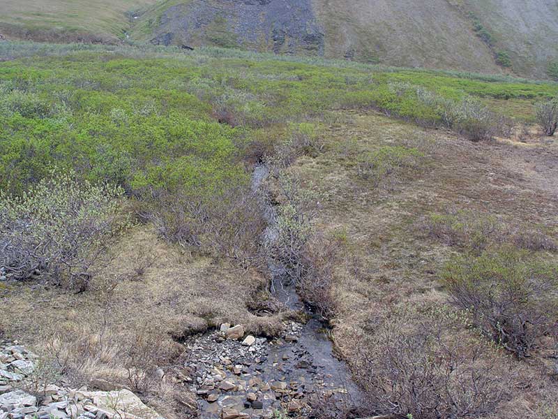
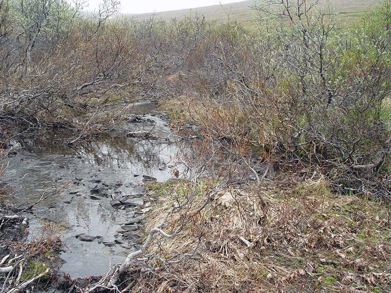
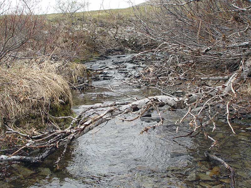
Stream Name: East Fork Solomon River tributary
Elevation:
Site Comments: Mile 49.9
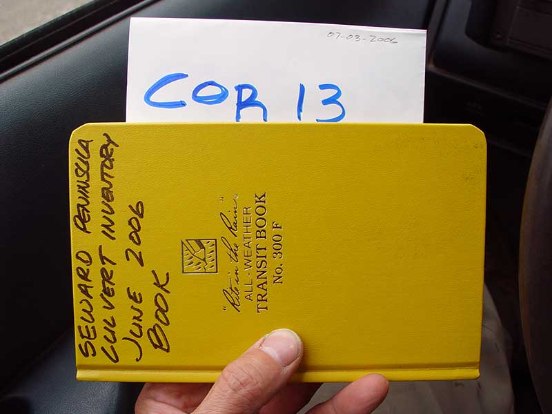
Survey SEW05-COR13
Project Supervisor: Dave Ryland,
Observers: Dave Ryland, Kyle Negri
Overall Fish Passage Rating:
Tidal: No
Backwatered: No
Step Pools: No
Construction Year:
Site Observations:
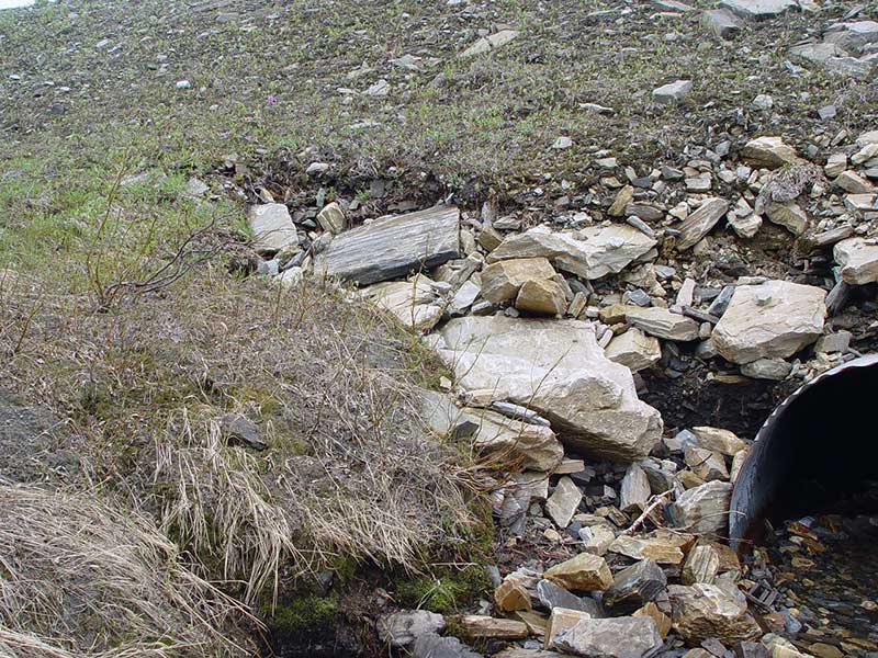
- Constriction ratio red
- Sediment accumulation
- Road bank erosion
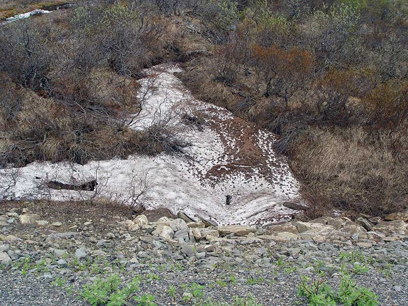
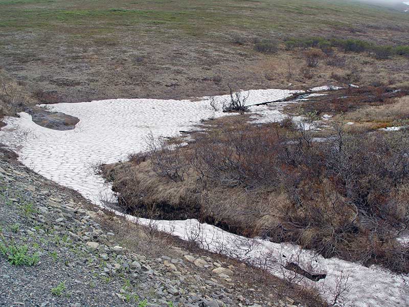
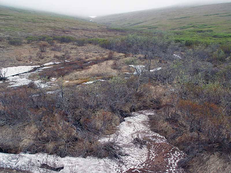
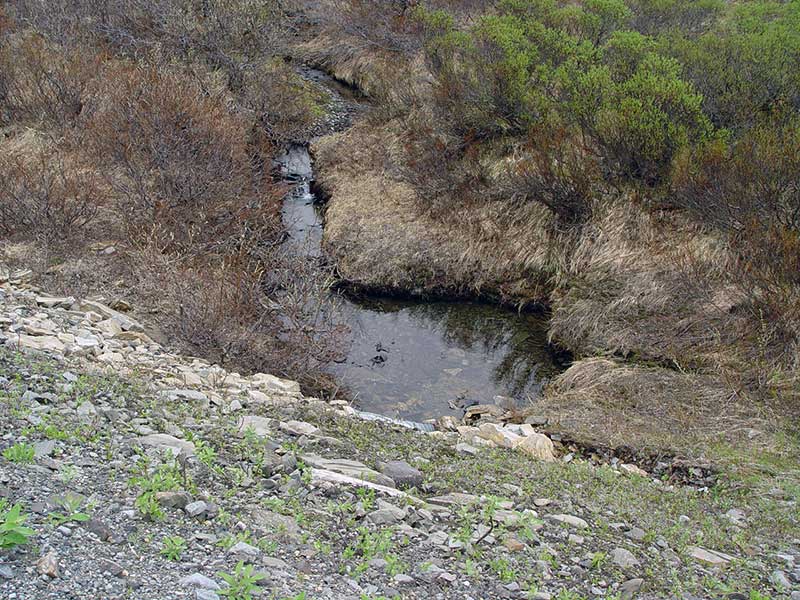
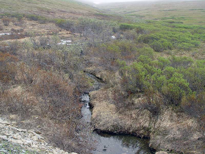
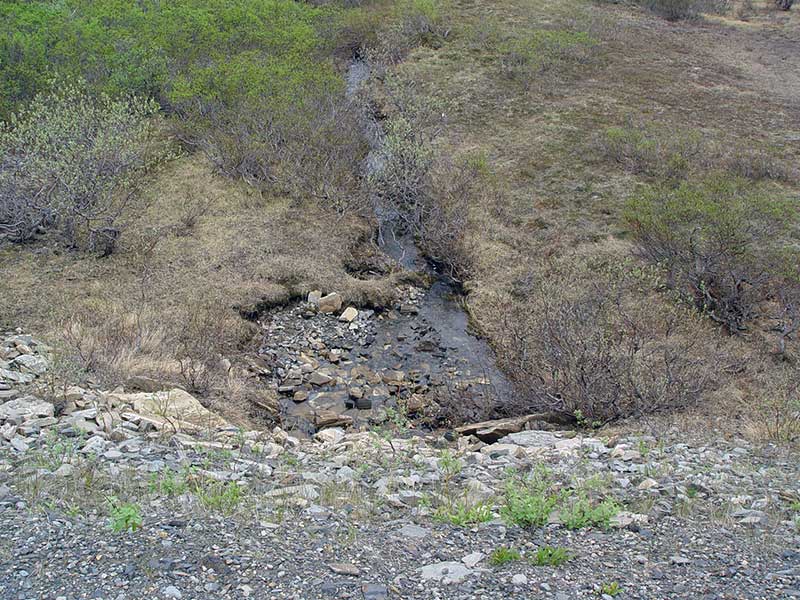
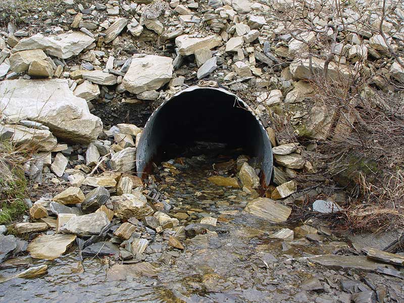
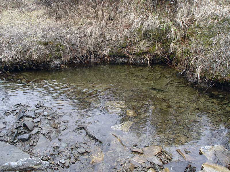
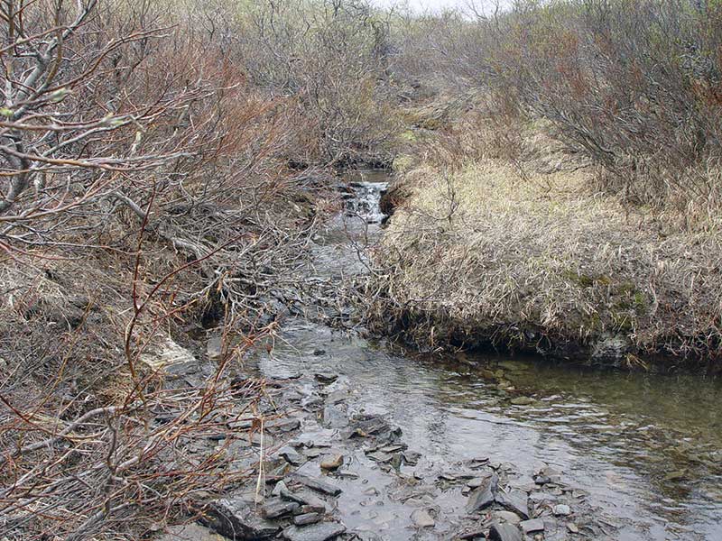
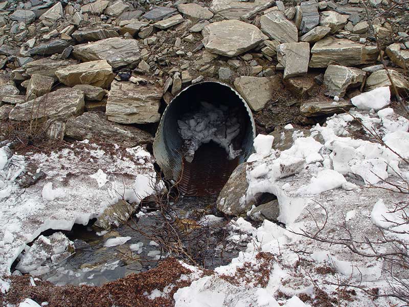
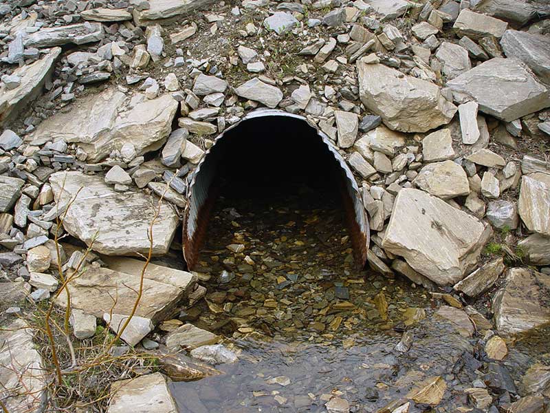
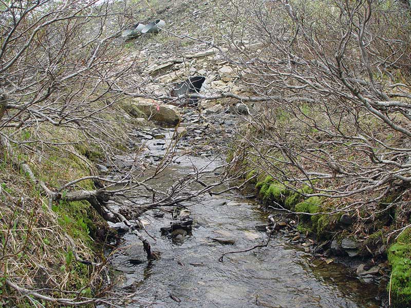
Comments: Flow splits and passes through two pipes, both surveyed. Two additional overflow pipes between the main pipes were not surveyed and were dry at time of survey. Flow remains in two separate channels until confluence with East Fork Solomon River. Snow during survey.
Culvert Measurements
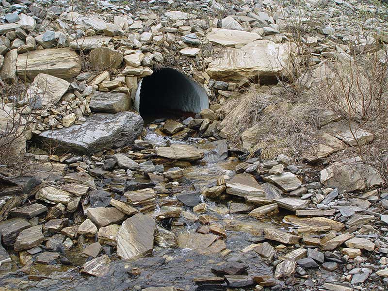
| ID: 1 | Structure Type: Circular pipe (Corrugated steel) | Fish Passage Rating: | ||||||||||||||||||||||||||||||||||||||||||
|
|
|
||||||||||||||||||||||||||||||||||||||||||
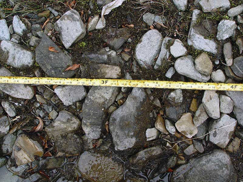
Comments: sediment accumulation in inlet and outlet, none in center of pipe; |
||||||||||||||||||||||||||||||||||||||||||||
Culvert Observations:
|
||||||||||||||||||||||||||||||||||||||||||||
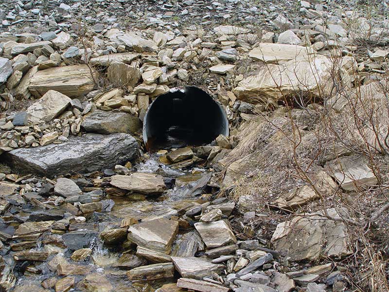
| ID: 2 | Structure Type: Circular pipe (Corrugated steel) | Fish Passage Rating: | ||||||||||||||||||||||||||||||||||||||||||
|
|
|
||||||||||||||||||||||||||||||||||||||||||
Culvert Observations:
|
||||||||||||||||||||||||||||||||||||||||||||
Stream Measurements
|
|
No stream width data available.
Elevations
| Locator ID | Culvert Number |
River Distance (ft)1 |
Distance From Crossing (ft)2 |
Relative Elevation (ft) |
|---|---|---|---|---|
| Outlet Pool Water Elev | 1 | 85.86 | ||
| D/S Grade Ctrl (Thalweg) | 1 | 0.00 | 112.0 | 80.57 |
| D/S Grade Ctrl (Thalweg) | 1 | 38.00 | 74.0 | 82.47 |
| D/S Grade Ctrl (Thalweg) | 2 | 39.00 | 73.0 | 80.70 |
| D/S Grade Ctrl (Thalweg) | 2 | 51.00 | 61.0 | 82.65 |
| D/S Grade Ctrl (Thalweg) | 1 | 62.00 | 50.0 | 83.59 |
| D/S Grade Ctrl (Thalweg) | 2 | 70.00 | 42.0 | 82.58 |
| D/S Grade Ctrl (Thalweg) | 2 | 84.00 | 28.0 | 83.10 |
| D/S Grade Ctrl (Thalweg) | 1 | 96.00 | 16.0 | 85.05 |
| D/S Grade Ctrl (Thalweg) | 2 | 99.00 | 13.0 | 83.71 |
| D/S Grade Ctrl (Thalweg) | 2 | 103.00 | 9.0 | 84.54 |
| D/S Tailcrest or 1st Thalweg | 1 | 106.00 | 6.0 | 85.65 |
| OHW (Outlet Tailcrest) | 1 | 106.00 | 6.0 | 86.05 |
| Bankfull | 1 | 106.00 | 6.0 | 86.38 |
| Bankfull | 2 | 107.00 | 5.0 | 85.94 |
| D/S Grade Ctrl (Thalweg) | 2 | 107.00 | 5.0 | 84.72 |
| OHW (Outlet Tailcrest) | 2 | 107.00 | 5.0 | 85.17 |
| D/S Tailcrest or 1st Thalweg | 2 | 107.00 | 5.0 | 84.26 |
| Outlet Invert | 2 | 112.00 | 0.0 | 85.25 |
| Outlet Invert | 1 | 112.00 | 0.0 | 85.69 |
| Road Elev | 154.00 | 107.03 | ||
| Inlet Culvert Invert | 2 | 196.00 | 0.0 | 88.40 |
| Inlet Culvert Invert | 1 | 196.00 | 0.0 | 89.07 |
| U/S Thalweg | 2 | 199.60 | 3.6 | 88.59 |
| U/S Grade Ctrl (Thalweg) | 2 | 200.00 | 4.0 | 89.23 |
| U/S Grade Ctrl (Thalweg) | 1 | 203.00 | 7.0 | 89.54 |
| U/S Grade Ctrl (Thalweg) | 2 | 216.00 | 20.0 | 90.01 |
| U/S Grade Ctrl (Thalweg) | 1 | 225.00 | 29.0 | 90.66 |
| U/S Grade Ctrl (Thalweg) | 2 | 242.00 | 46.0 | 91.01 |
| U/S Grade Ctrl (Thalweg) | 1 | 269.00 | 73.0 | 92.11 |
| U/S Grade Ctrl (Thalweg) | 1 | 298.00 | 102.0 | 93.57 |
| U/S Grade Ctrl (Thalweg) | 2 | 326.00 | 130.0 | 93.51 |
| U/S Grade Ctrl (Thalweg) | 1 | 348.00 | 152.0 | 96.10 |
| U/S Grade Ctrl (Thalweg) | 2 | 351.00 | 155.0 | 95.12 |
| U/S Grade Ctrl (Thalweg) | 1 | 386.00 | 190.0 | 97.65 |
| U/S Thalweg | 2 | 389.00 | 193.0 | 96.63 |
| U/S Grade Ctrl (Thalweg) | 2 | 391.00 | 195.0 | 97.24 |
Notes:
- River distance is measured continuously throughout the survey reach along the thalweg of the stream.
- Measured from each end of the crossing along the thalweg of the stream.
Fish Sampling Efforts
No fish sampling occurred during this survey.
Fish Observations
No fish observations occurred during this survey.
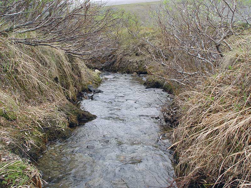
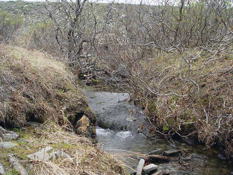
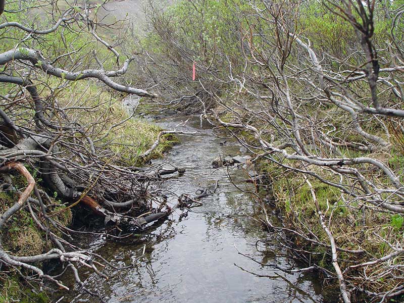
Photos


Questions or comments about this report can be directed to dfg.dsf.webmaster@alaska.gov