Fish Passage Site 40501733
Coordinates (dec. deg.): 65.27465°, -146.64586°
Legal Description: F005N005E12
Region: Interior
Road Name: Cripple Creek Camp Road 2
Datum: WGS84
Quad Name / ITM: Circle B-6
AWC Stream #:
Stream Name: Unnamed
Elevation:
Site Comments: Possible slough of Chatanika River
Survey EDS10-PS002
Observers: Ben Histand, Justin Leon
Overall Fish Passage Rating:
Tidal:
Backwatered:
Step Pools:
Construction Year:
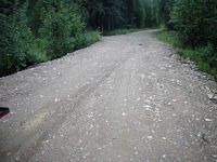
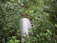
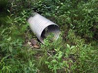
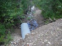
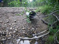
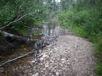
Comments: There is a pipe and a channel present, but there is no flow. The pipe is placed very high above the channel bed. There is potential habitat at this site and it could possibly be a slough of the Chatanika River.
Culvert Measurements
No measurement data available.
Stream Measurements
|
|
No stream width data available.
Elevations
No elevation data available.
Fish Sampling Efforts
No fish sampling occurred during this survey.
Fish Observations
No fish observations occurred during this survey.
Questions or comments about this report can be directed to dfg.dsf.webmaster@alaska.gov
