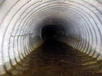
Fish Passage Site 40501732
Coordinates (dec. deg.): 65.25717°, -146.76956°
Legal Description: F005N005E17
Region: Interior
Road Name: Unknown
Datum: WGS84
Quad Name / ITM: Circle B-6
AWC Stream #:
Stream Name: Chatanika River slough
Elevation:
Site Comments: None
Survey EDS10-PS001
Observers: Ben Histand, Justin Leon
Overall Fish Passage Rating:
Tidal:
Backwatered:
Step Pools:
Construction Year:
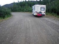
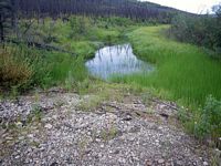
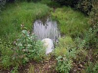
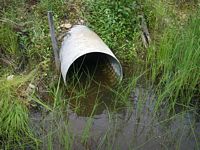
Comments: The inlet of this pipe has been totally buried by gravel road fill. There was no way to obtain a length. The pipe blockage is acting as a total passage barrier.
Culvert Measurements
No measurement data available.
Stream Measurements
|
|
No stream width data available.
Elevations
No elevation data available.
Fish Sampling Efforts
| Gear Type: None (A) | ||
| Comments: No traps set. | ||
Fish Observations
No fish observations occurred during this survey.
Questions or comments about this report can be directed to dfg.dsf.webmaster@alaska.gov
