Fish Passage Site 40501696
Coordinates (dec. deg.): 65.20986°, -148.10448°
Legal Description: F004N003W02
Region: Interior
Road Name: Elliott Highway
Datum: WGS84
Quad Name / ITM: Livengood A-3
AWC Stream #:
Stream Name:
Elevation:
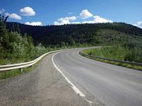
Site Comments: 31 mile on the highway, pull out culvert just upstream. DOT#1729+90.
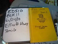
Survey EDS10-ELH11
Observers: Mark Eisenman, Justin Leon
Overall Fish Passage Rating:
Tidal: No
Backwatered: No
Step Pools: No
Construction Year:
Site Observations:
- Structural Problem
- Mechanical damage or joints parting
- Damage associated with ice problems
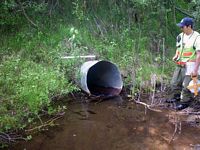
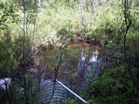
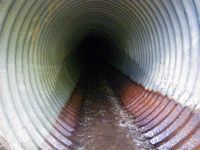
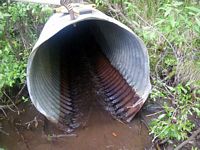
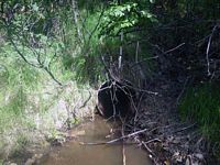
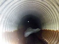
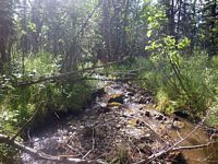
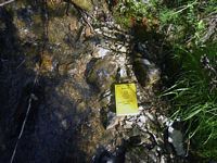
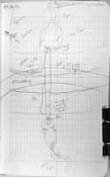
Comments: The inlet of this pipe is bent in and up. This looks like prior ice damage. This is backing up water before the pipe. The max outlet pool depth = 1.10ft at 3ft from the outlet. The stream grade seems to be a good habitat. There are not too many drop offs. The length was obtained from the DOT placard. No longitudinal profile was done at this site because it was too steep and there was too much brush. No minnow traps set.
Culvert Measurements
| ID: 1 | Structure Type: Circular pipe (Corrugated steel) | Fish Passage Rating: | |||||||||||||||||||||||||||||||||||||||||
|
|
|
|||||||||||||||||||||||||||||||||||||||||
Culvert Observations:
|
|||||||||||||||||||||||||||||||||||||||||||
Stream Measurements
|
|
| Stream Width Type | Distance From Crossing (ft) |
Stream Width (ft) |
|---|---|---|
| Upstream ordinary high water | 32.0 | 2.10 |
| Upstream ordinary high water | 51.0 | 2.20 |
| Upstream ordinary high water | 67.0 | 1.80 |
Elevations
No elevation data available.
Fish Sampling Efforts
| Gear Type: None (A) | ||
| Comments: No traps set. No fish observed. | ||
Fish Observations
No fish observations occurred during this survey.
Questions or comments about this report can be directed to dfg.dsf.webmaster@alaska.gov
