Fish Passage Site 40501690
Coordinates (dec. deg.): 65.18542°, -147.97893°
Legal Description: F004N002W09
Region: Interior
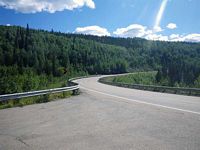
Road Name: Elliott Highway
Datum: WGS84
Quad Name / ITM: Livengood A-2
AWC Stream #:
Stream Name: Snowshoe Creek tributary
Elevation:
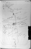
Site Comments: EDS10 ELH04 is 156' U/S from culvert. xFID 96 DOT #1397+00
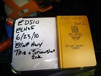
Survey EDS10-ELH05
Observers: Mark Eisenman, Justin Leon
Overall Fish Passage Rating:
Tidal: No
Backwatered: No
Step Pools: No
Construction Year:
Site Observations:
- Outfall height red
- Structural Problem
- Damage associated with ice problems
- Road bank erosion
- Mechanical damage or joints parting
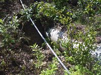
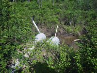
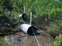
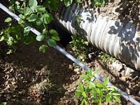
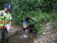
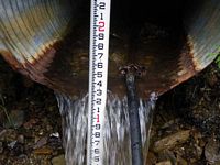
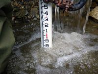
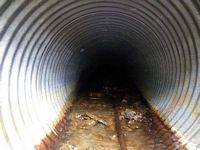
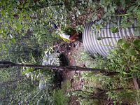
Comments: Pipe is broken and disconnected near inlet. Substrate has fallen into pipe and cannot shoot length with tape or laser. ELH04 is 156' U/S from culvert. Max Pool Depth is .74. About 20 feer of pipe has been sheared off outlet. DOT placard length is 188'. No minnow traps set water too shallow. DOT #1397+00
Culvert Measurements
| ID: 1 | Structure Type: Circular pipe (Corrugated steel) | Fish Passage Rating: | |||||||||||||||||||||||||||||||||||||||||
|
|
|
|||||||||||||||||||||||||||||||||||||||||
Comments: Culvert length is not verified and is from the DOT placard. |
|||||||||||||||||||||||||||||||||||||||||||
Culvert Observations:
|
|||||||||||||||||||||||||||||||||||||||||||
Stream Measurements
|
|
| Stream Width Type | Distance From Crossing (ft) |
Stream Width (ft) |
|---|---|---|
| Upstream ordinary high water | 63.0 | 4.20 |
| Upstream ordinary high water | 85.0 | 3.00 |
| Upstream ordinary high water | 131.0 | 4.10 |
Elevations
No elevation data available.
Fish Sampling Efforts
| Gear Type: None (A) | ||
| Comments: No traps set water too shallow. | ||
Fish Observations
No fish observations occurred during this survey.
Questions or comments about this report can be directed to dfg.dsf.webmaster@alaska.gov
