Fish Passage Site 30103658
Coordinates (dec. deg.): 51.94442°, -176.59274°
Legal Description: S095S194W18
Region: Southwest
Road Name: Hillside Boulevard
Datum: NAD83
Quad Name / ITM: Adak C-2
AWC Stream #:
Stream Name: CDAA Creek
Elevation:
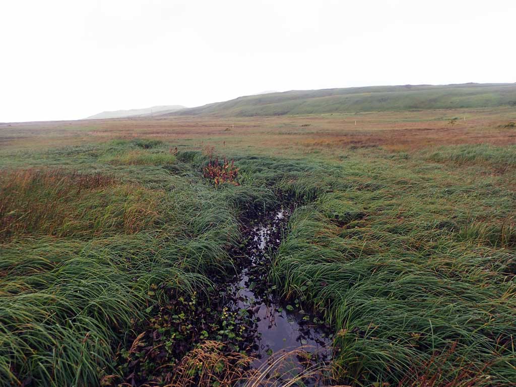
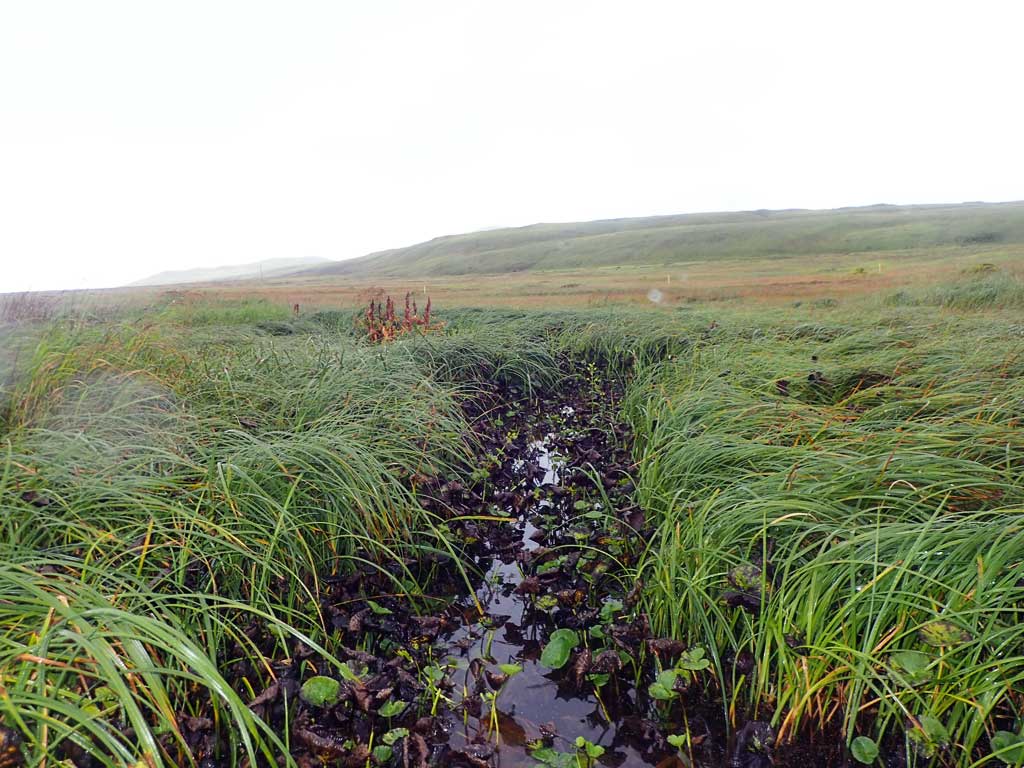
Site Comments: Site is above cataloged anadromy.
Survey ADAK17-C32
Observers: Mark Eisenman, Jeanette Alas
Overall Fish Passage Rating:
Tidal: No
Backwatered: Maybe
Step Pools: No
Construction Year:
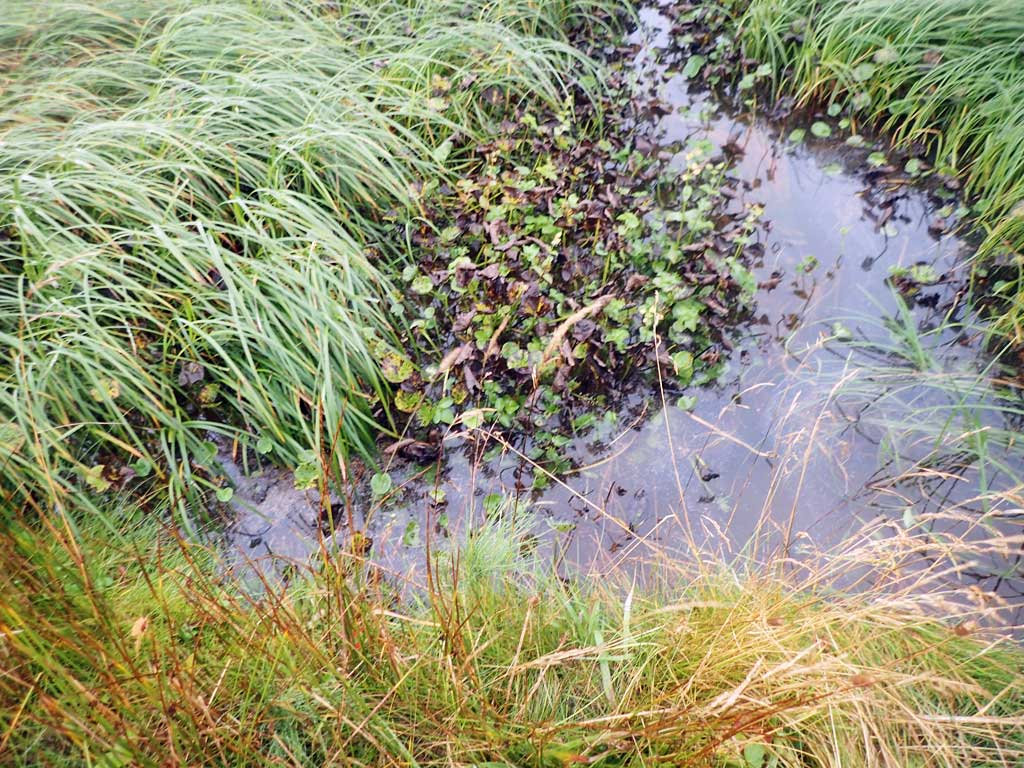
Comments: This information was gathered as part of the joint reconnaissance level project between the ADF&G Habitat Division and the Fish Passage Assessment Project on Adak Island. Due to time constraints full site assessments were not conducted, but base line information was collected. Culvert inverts submerged deep pools at inlet and outlet, water surface looks flat on both sides. No fish caught.
Culvert Measurements
| ID: 1 | Structure Type: Circular pipe (Corrugated steel) | Fish Passage Rating: | |||||||||||||||||||||||||||||||||||||||||
|
|
|
|||||||||||||||||||||||||||||||||||||||||
Comments: Culvert size is estimated. Culvert length estimated from aerial imagery. Culvert inverts submered, deep pools at inlet and outlet. |
|||||||||||||||||||||||||||||||||||||||||||
Stream Measurements
|
|
No stream width data available.
Elevations
No elevation data available.
Fish Sampling Efforts
| Gear Type: Minnow Trap (A) | Trap Duration(h): 23.0 | |
| Comments: No fish caught or observed. | ||
Fish Observations
No fish observations occurred during this survey.
Photos


Questions or comments about this report can be directed to dfg.dsf.webmaster@alaska.gov