Fish Passage Site 30103655
Coordinates (dec. deg.): 51.90255°, -176.66156°
Legal Description: S095S195W34
Region: Southwest
Road Name: Old Military Road
Datum: NAD83
Quad Name / ITM: Adak C-2
AWC Stream #:
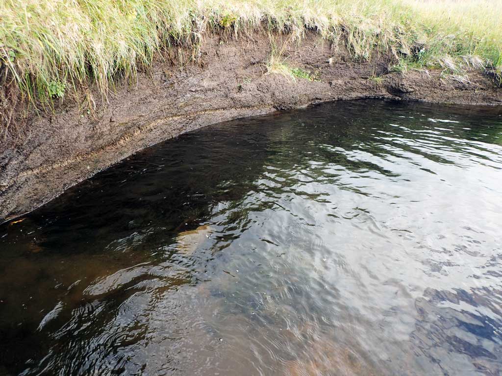
Stream Name: NAVFAC Creek
Elevation:
Site Comments: Site is above documented anadromy.
Survey ADAK17-C29
Observers: Mark Eisenman, Jeanette Alas
Overall Fish Passage Rating:
Tidal: No
Backwatered: No
Step Pools: No
Construction Year:
Site Observations:
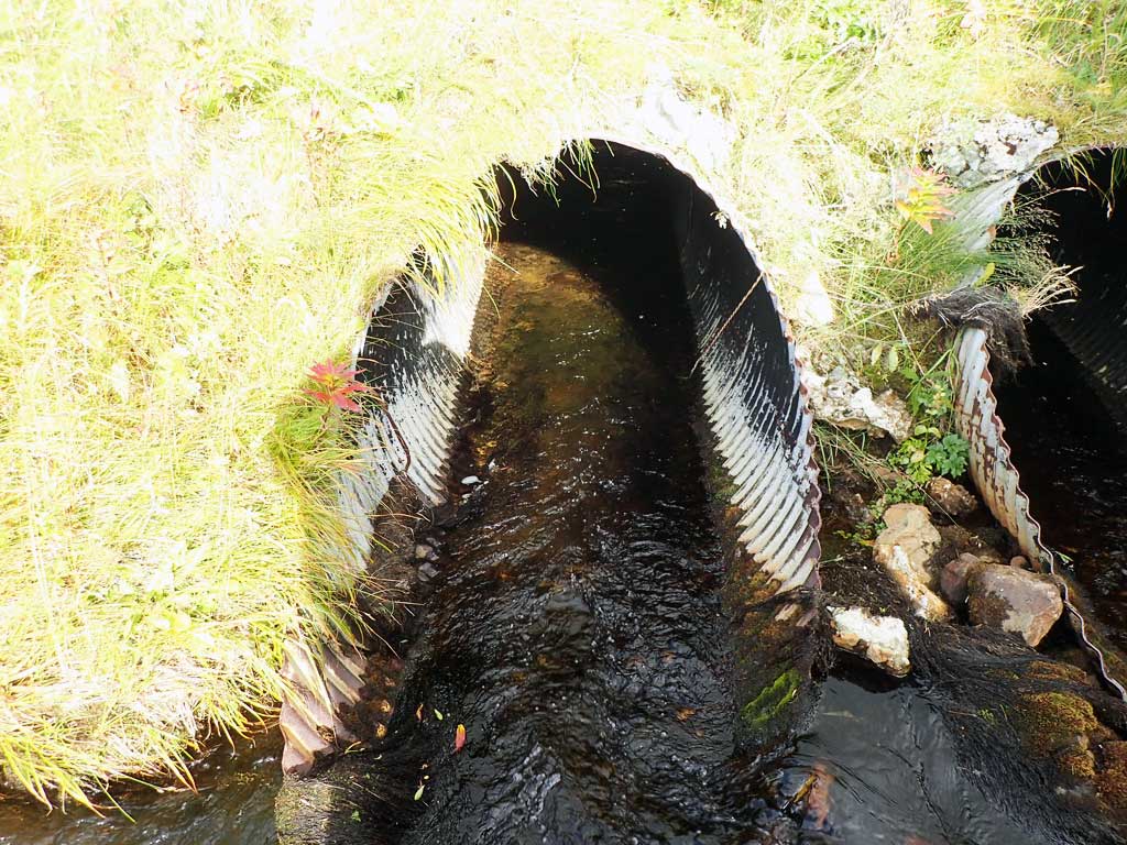
- Structural Problem
- Mechanical damage or joints parting
- Inlet perch
Comments: This information was gathered as part of the joint reconnaissance level project between the ADF&G Habitat Division and the Fish Passage Assessment Project on Adak Island. Due to time constraints full site assessments were not conducted, but base line information was collected.
Culvert Measurements
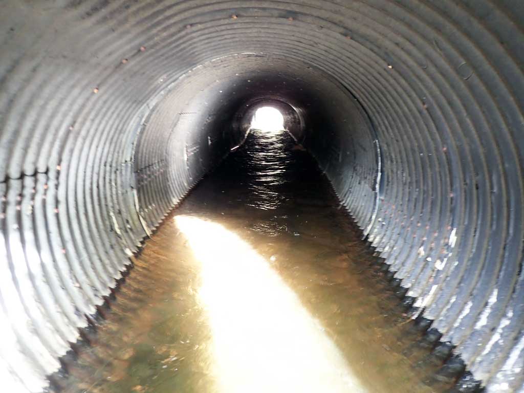
| ID: 1 | Structure Type: Circular pipe (Corrugated steel) | Fish Passage Rating: | |||||||||||||||||||||||||||||||||||||||||
|
|
|
|||||||||||||||||||||||||||||||||||||||||
Comments: Culvert length estimated from aerial imagery. Culvert shows signs of deterioration. |
|||||||||||||||||||||||||||||||||||||||||||
Culvert Observations:
|
|||||||||||||||||||||||||||||||||||||||||||
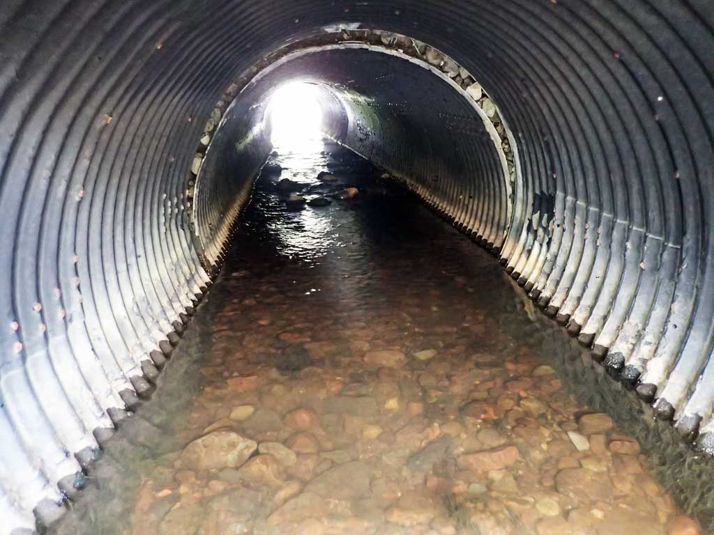
| ID: 2 | Structure Type: Circular pipe (Corrugated steel) | Fish Passage Rating: | |||||||||||||||||||||||||||||||||||||||||
|
|
|
|||||||||||||||||||||||||||||||||||||||||
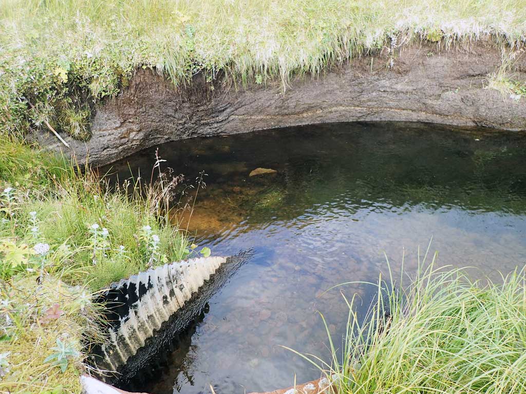
Comments: Culvert length estimated from aerial imagery. Culvert separating. Culvert shows signs of deterioration. |
|||||||||||||||||||||||||||||||||||||||||||
Culvert Observations:
|
|||||||||||||||||||||||||||||||||||||||||||
Stream Measurements
|
|
No stream width data available.
Elevations
No elevation data available.
Fish Sampling Efforts
| Gear Type: Smith-Root LR-24 (A) | ||
Fish Observations
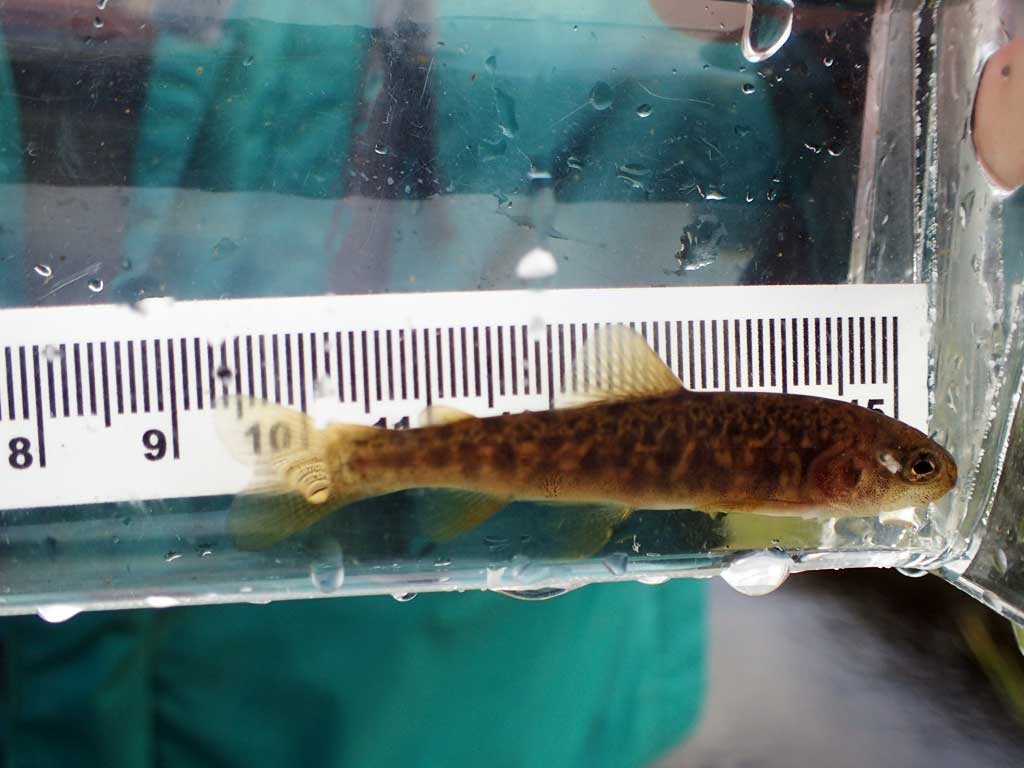
| Species: juvenile Dolly Varden | Life History: Unknown | ||
| Total Fish Observed: 5 | Fish Measured: 5 | Fork Lengths (mm) Min: 50 Max: 104 Mean: 73 | |
| Collected/Observed by Gear Type: Downstream Smith-Root LR-24 (5) | |||
| Species: adult Dolly Varden | Life History: Unknown | ||
| Total Fish Observed: 2 | Fish Measured: | Fork Lengths (mm) Min: Max: Mean: | |
| Collected/Observed by Gear Type: Downstream Smith-Root LR-24 (2) | |||
| Comments: 2 larger adult males between 12-16 inches | |||
Photos


Questions or comments about this report can be directed to dfg.dsf.webmaster@alaska.gov