Fish Passage Site 30103631
Coordinates (dec. deg.): 51.93746°, -176.59473°
Legal Description: S095S194W19
Region: Southwest
Road Name: Old Military Road
Datum: NAD83
Quad Name / ITM: Adak C-2
AWC Stream #:
Stream Name: Shotgun Creek
Elevation:
Site Comments: Site is above catalogued anadromy and downstream barrier was identified.
Survey ADAK17-C12
Observers: Mark Eisenman, Jeanette Alas
Overall Fish Passage Rating:
Tidal: No
Backwatered: No
Step Pools: No
Construction Year:
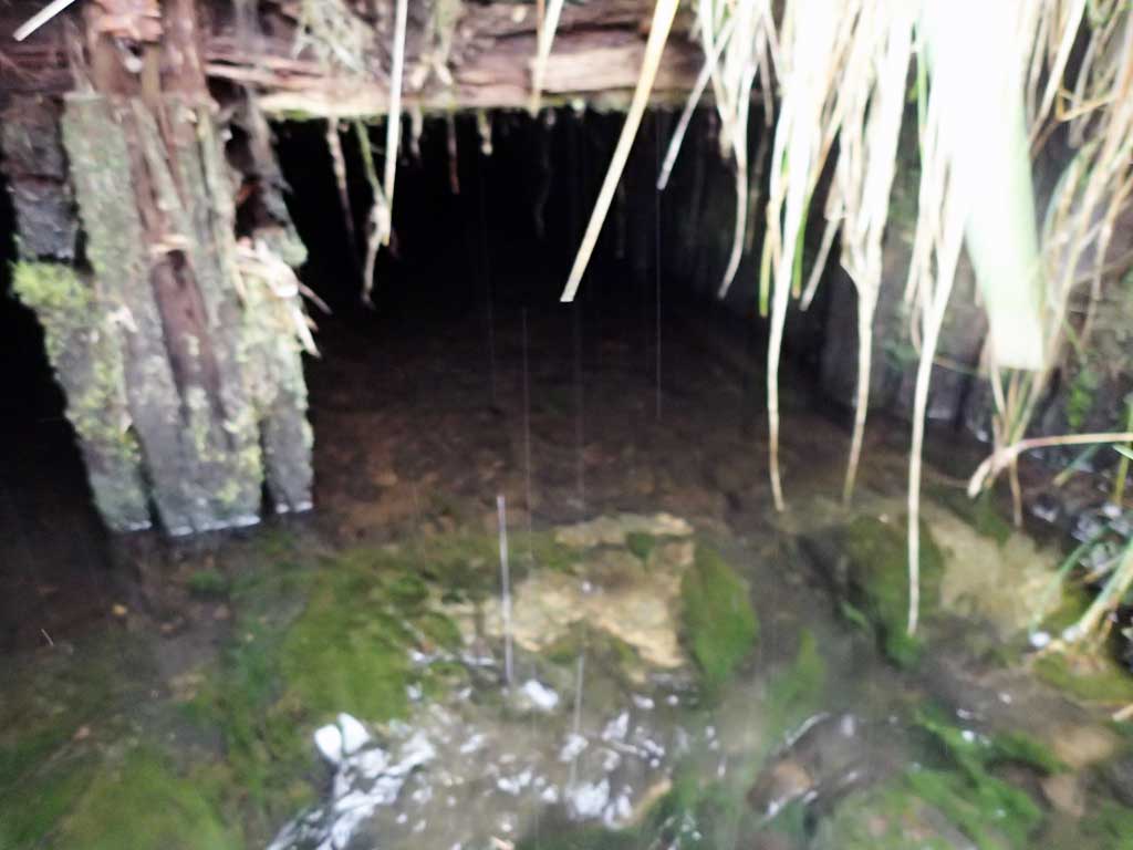
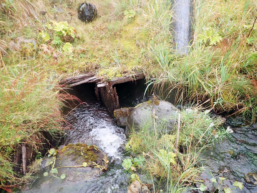
Comments: This information was gathered as part of the joint reconnaissance level project between the ADF&G Habitat Division and the Fish Passage Assessment Project on Adak Island. Due to time constraints full site assessments were not conducted, but base line information was collected. Old dam and fish ladder complex just upstream from inlets. Gradient barrier identified downstream from this site. Dolly Varden were captured farther upstream at site C13.
Culvert Measurements
| ID: 1 | Structure Type: Box culvert (Wood) | Fish Passage Rating: | |||||||||||||||||||||||||||||||||||||||||
|
|
|
|||||||||||||||||||||||||||||||||||||||||
Comments: Old wooden box/bridge culvert. Not sure if structure had a bottom or was only 3 sided. |
|||||||||||||||||||||||||||||||||||||||||||
Stream Measurements
|
|
No stream width data available.
Elevations
No elevation data available.
Fish Sampling Efforts
No fish sampling occurred during this survey.
Fish Observations
No fish observations occurred during this survey.
Photos


Questions or comments about this report can be directed to dfg.dsf.webmaster@alaska.gov