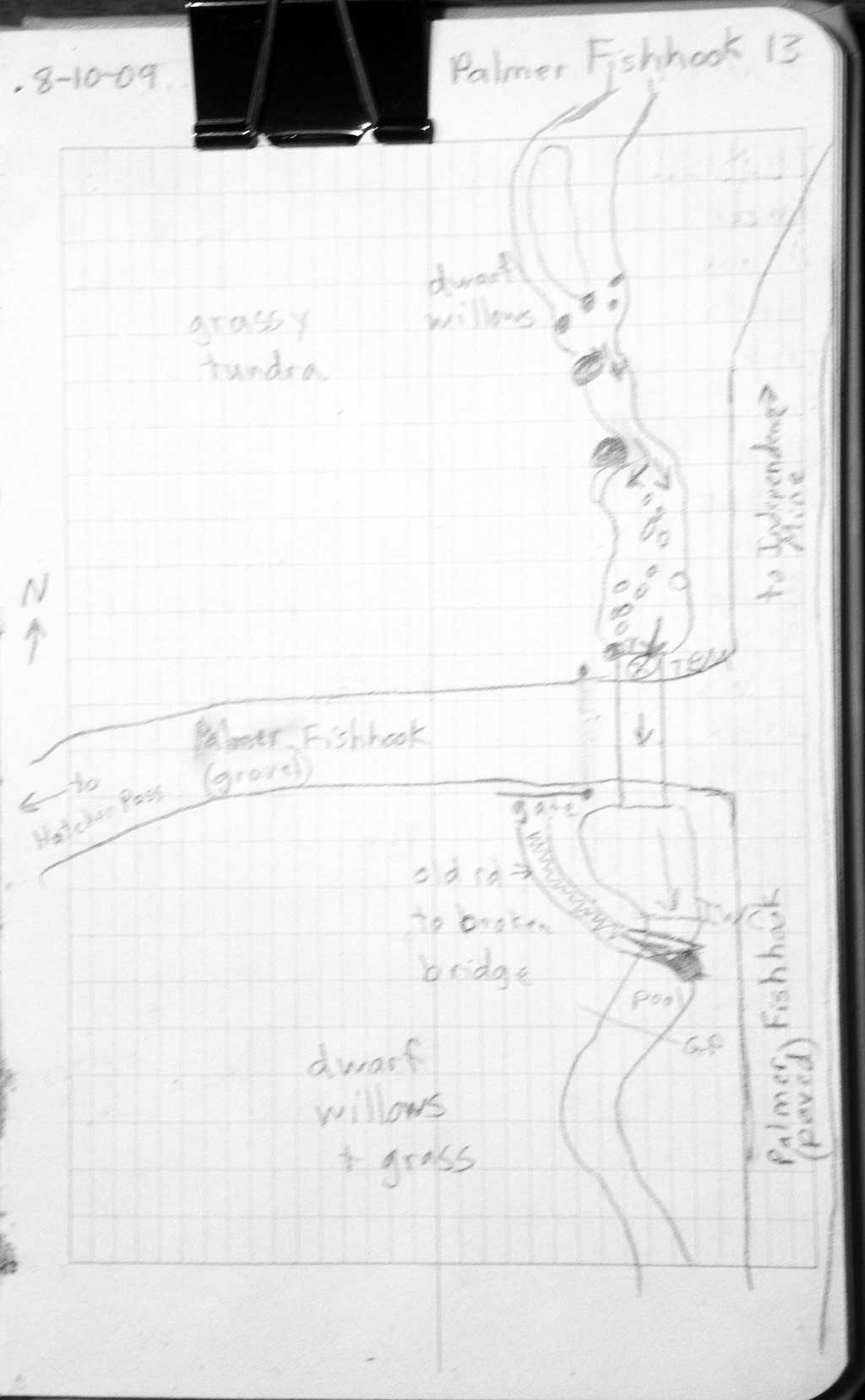
Fish Passage Site 20501218
Coordinates (dec. deg.): 61.77644°, -149.27901°
Legal Description: S020N001E33
Region: South Central
Road Name: Palmer Fishhook Road
Datum: WGS84
Quad Name / ITM: Anchorage D-7
AWC Stream #:
Stream Name: Fishhook Creek
Elevation:
Site Comments: None
Survey MSB09-PFR13
Project Supervisor: Gillian O'Doherty, ADFG
Observers: Heidi Zimmer, Ben Histand
Overall Fish Passage Rating:
Tidal: No
Backwatered: No
Step Pools: No
Construction Year:
Site Observations:
- Outfall height red
- Constriction ratio red
- Culvert gradient red
- Inlet perch
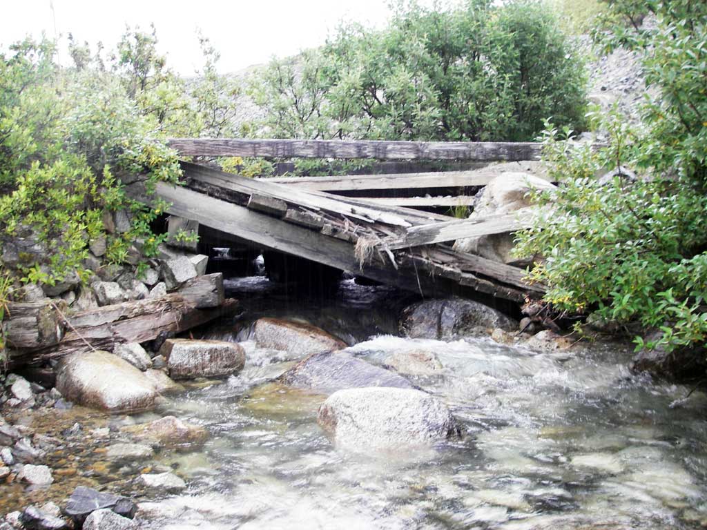
Comments: Short concrete footer present at both ends of pipe. Old bridge downstream of culvert falling into creek.
Culvert Measurements
| ID: 1 | Structure Type: Circular pipe (Corrugated steel) | Fish Passage Rating: | |||||||||||||||||||||||||||||||||||||||||
|
|
|
|||||||||||||||||||||||||||||||||||||||||
Comments: Concrete footers at ends of culvert. |
|||||||||||||||||||||||||||||||||||||||||||
Culvert Observations:
|
|||||||||||||||||||||||||||||||||||||||||||
Stream Measurements
|
|
| Stream Width Type | Distance From Crossing (ft) |
Stream Width (ft) |
|---|---|---|
| Upstream ordinary high water | 132.0 | 26.00 |
| Upstream ordinary high water | 160.0 | 16.50 |
| Upstream ordinary high water | 200.0 | 26.00 |
Elevations
| Locator ID | Culvert Number |
River Distance (ft)1 |
Distance From Crossing (ft)2 |
Relative Elevation (ft) |
|---|---|---|---|---|
| Road Elev | 1 | 108.55 | ||
| D/S Grade Ctrl (Thalweg) | 1 | 0.00 | 47.0 | 88.05 |
| D/S Water Surface Elev | 1 | 0.00 | 47.0 | 89.24 |
| D/S Tailcrest or 1st Thalweg | 1 | 17.00 | 30.0 | 90.35 |
| D/S Water Surface Elev (ws @ twc) | 1 | 17.00 | 30.0 | 90.99 |
| D/S Thalweg (bottom of pool) | 1 | 39.00 | 8.0 | 88.76 |
| Outlet Invert | 1 | 47.00 | 0.0 | 90.80 |
| Outlet Pool Water Elev | 1 | 47.00 | 91.00 | |
| Inlet Culvert Invert | 1 | 107.10 | 0.0 | 92.28 |
| U/S Thalweg | 1 | 107.10 | 0.0 | 92.82 |
| U/S Headwater | 1 | 107.10 | 93.65 | |
| U/S Grade Ctrl (Thalweg) (1st tc u/s) | 1 | 123.10 | 16.0 | 94.42 |
| U/S Water Surface Elev | 1 | 123.10 | 16.0 | 95.30 |
Notes:
- River distance is measured continuously throughout the survey reach along the thalweg of the stream.
- Measured from each end of the crossing along the thalweg of the stream.
Fish Sampling Efforts
| Gear Type: Minnow Trap (A) | Trap Duration(h): 1.25 | |
| Comments: no fish caught; 150ft u/s | ||
| Gear Type: Minnow Trap (B) | Trap Duration(h): 1.25 | |
| Comments: no fish caught; 100ft d/s | ||
Fish Observations
No fish observations occurred during this survey.
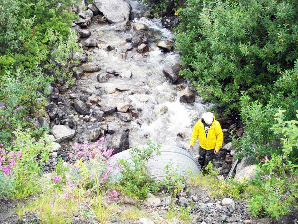
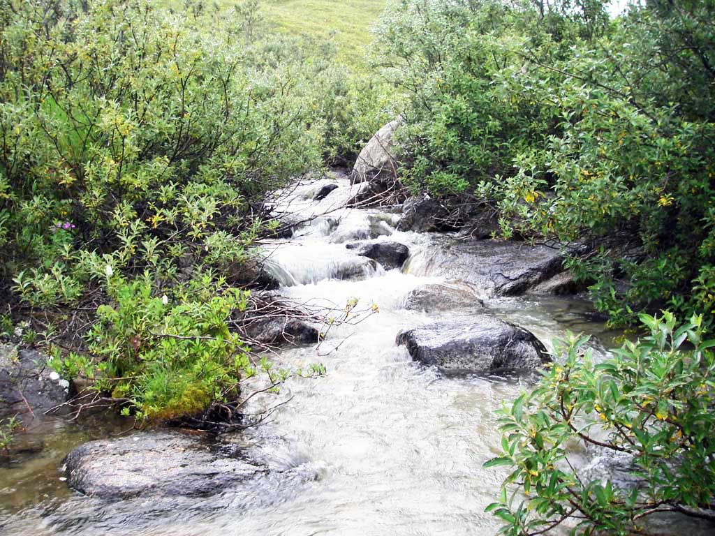
Photos


Questions or comments about this report can be directed to dfg.dsf.webmaster@alaska.gov