Fish Passage Site 20501182
Coordinates (dec. deg.): 61.70733°, -150.08525°
Legal Description: S019N005W25
Region: South Central
Road Name: Crystal Lake Road
Datum: WGS84
Quad Name / ITM: Tyonek C-1
AWC Stream #:
Stream Name: Rainbow Lake to Long Lake connection
Elevation:
Site Comments: Rainbow Lake to Long Lake connection
arrow to the right of the survey date below to choose a different report for this site.
Survey MSB09-CRL01
Project Supervisor: Gillian O'Doherty, ADFG
Observers: Heidi Zimmer, Ben Histand
Overall Fish Passage Rating:
Tidal: No
Backwatered: No
Step Pools: No
Construction Year:
Site Observations:
- Culvert gradient red
- Beaver Activity
Comments: Scattered small and large cobble inside pipe; u/s looks like torn-out beaver dam; u/s and d/s stream opens into marshy wetland.
Culvert Measurements
| ID: 1 | Structure Type: Circular pipe (Structural steel plate) | Fish Passage Rating: | |||||||||||||||||||||||||||||||||||||||||
|
|
|
|||||||||||||||||||||||||||||||||||||||||
Culvert Observations:
|
|||||||||||||||||||||||||||||||||||||||||||
Stream Measurements
|
|
| Stream Width Type | Distance From Crossing (ft) |
Stream Width (ft) |
|---|---|---|
| Upstream ordinary high water | 38.0 | 5.50 |
| Upstream ordinary high water | 85.0 | 6.00 |
| Upstream ordinary high water | 116.0 | 4.50 |
Elevations
| Locator ID | Culvert Number |
River Distance (ft)1 |
Distance From Crossing (ft)2 |
Relative Elevation (ft) |
|---|---|---|---|---|
| D/S Grade Ctrl (Thalweg) | 1 | 0.00 | 29.0 | 92.27 |
| D/S Water Surface Elev (@GP) | 1 | 0.00 | 29.0 | 92.40 |
| D/S Tailcrest or 1st Thalweg | 1 | 16.00 | 13.0 | 92.42 |
| D/S Water Surface Elev (@TWC) | 1 | 16.00 | 13.0 | 92.55 |
| Max Pool Depth (bottom of out pool) | 1 | 25.00 | 4.0 | 92.08 |
| Outlet Invert | 1 | 29.00 | 0.0 | 92.19 |
| Outlet Pool Water Elev | 1 | 29.00 | 92.57 | |
| Road Elev | 1 | 69.00 | 103.24 | |
| Inlet Culvert Invert | 1 | 109.40 | 0.0 | 93.97 |
| U/S Headwater | 1 | 109.40 | 94.21 | |
| U/S Thalweg | 1 | 110.40 | 1.0 | 93.94 |
Notes:
- River distance is measured continuously throughout the survey reach along the thalweg of the stream.
- Measured from each end of the crossing along the thalweg of the stream.
Fish Sampling Efforts
No fish sampling occurred during this survey.
Fish Observations
No fish observations occurred during this survey.
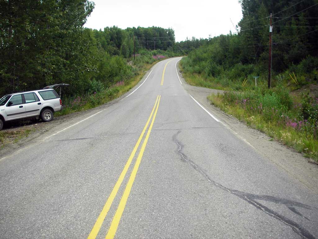
Photos


Questions or comments about this report can be directed to dfg.dsf.webmaster@alaska.gov

