Fish Passage Site 20400584
Coordinates (dec. deg.): 61.84645°, -147.34825°
Legal Description: S020N012E06
Region: South Central
Road Name: Alascom Drive
Datum: NAD83
Quad Name / ITM: Anchorage D-1
AWC Stream #:
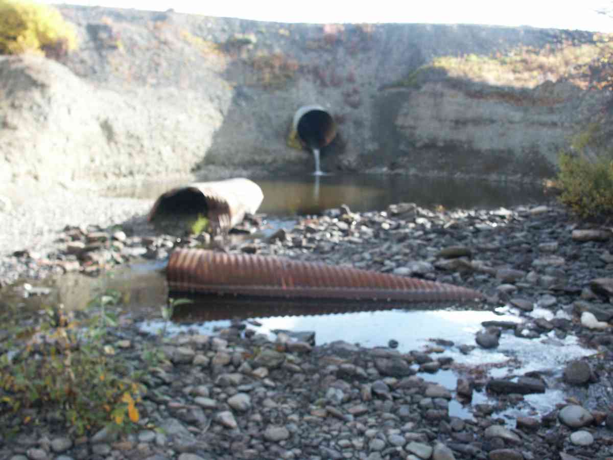
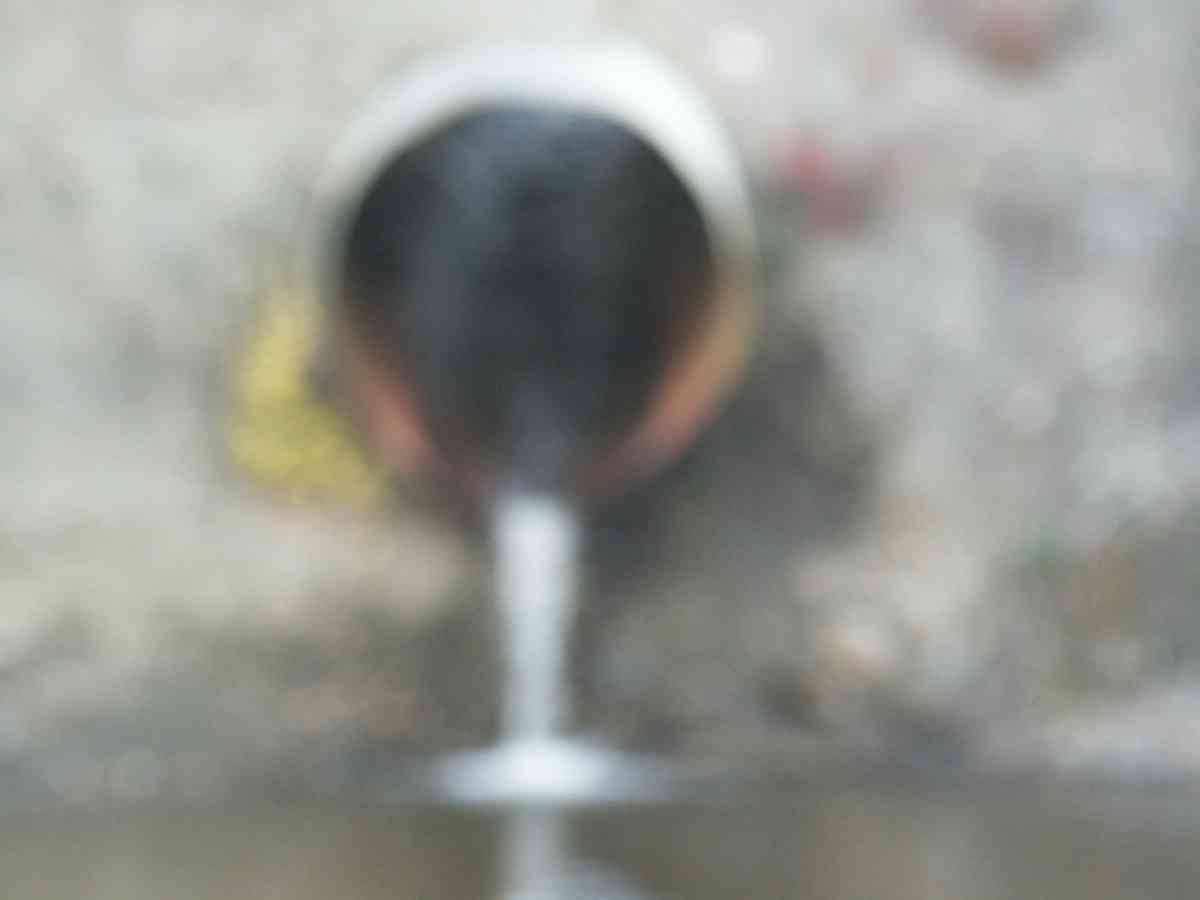
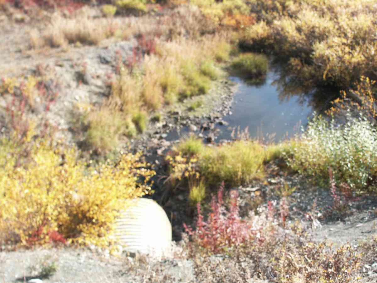
Stream Name: Trail Creek
Elevation:
Site Comments: This is the road to the radio tower south of the Glenn Highway just past Gunsight Mountain.
arrow to the right of the survey date below to choose a different report for this site.
Survey CRB02-GL260
Observers: Dean Beers, James Laurence, James Laurence
Overall Fish Passage Rating:
Tidal: No
Backwatered: No
Step Pools:
Construction Year:
Comments: None
Culvert Measurements
| ID: 1 | Structure Type: Circular pipe (Corrugated Metal) | Fish Passage Rating: | |||||||||||||||||||||||||||||||||||||||||
|
|
|
|||||||||||||||||||||||||||||||||||||||||
Stream Measurements
|
|
No stream width data available.
Elevations
No elevation data available.
Fish Sampling Efforts
No fish sampling occurred during this survey.
Fish Observations
No fish observations occurred during this survey.
Photos


Questions or comments about this report can be directed to dfg.dsf.webmaster@alaska.gov