Fish Passage Site 20300928
Coordinates (dec. deg.): 59.27869°, -151.65975°
Legal Description: S010S014W28
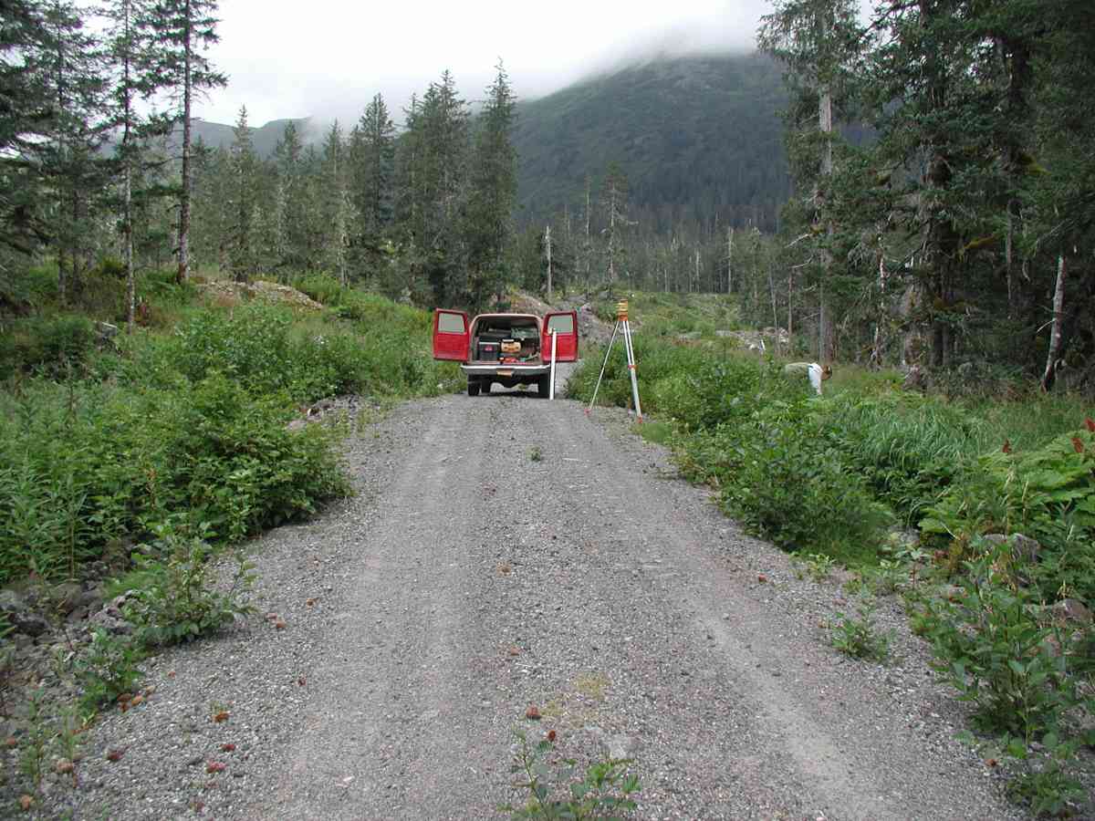
Region: South Central
Road Name: Port Graham
Datum: NAD83
Quad Name / ITM: Seldovia B-5
AWC Stream #:
Stream Name:
Elevation:
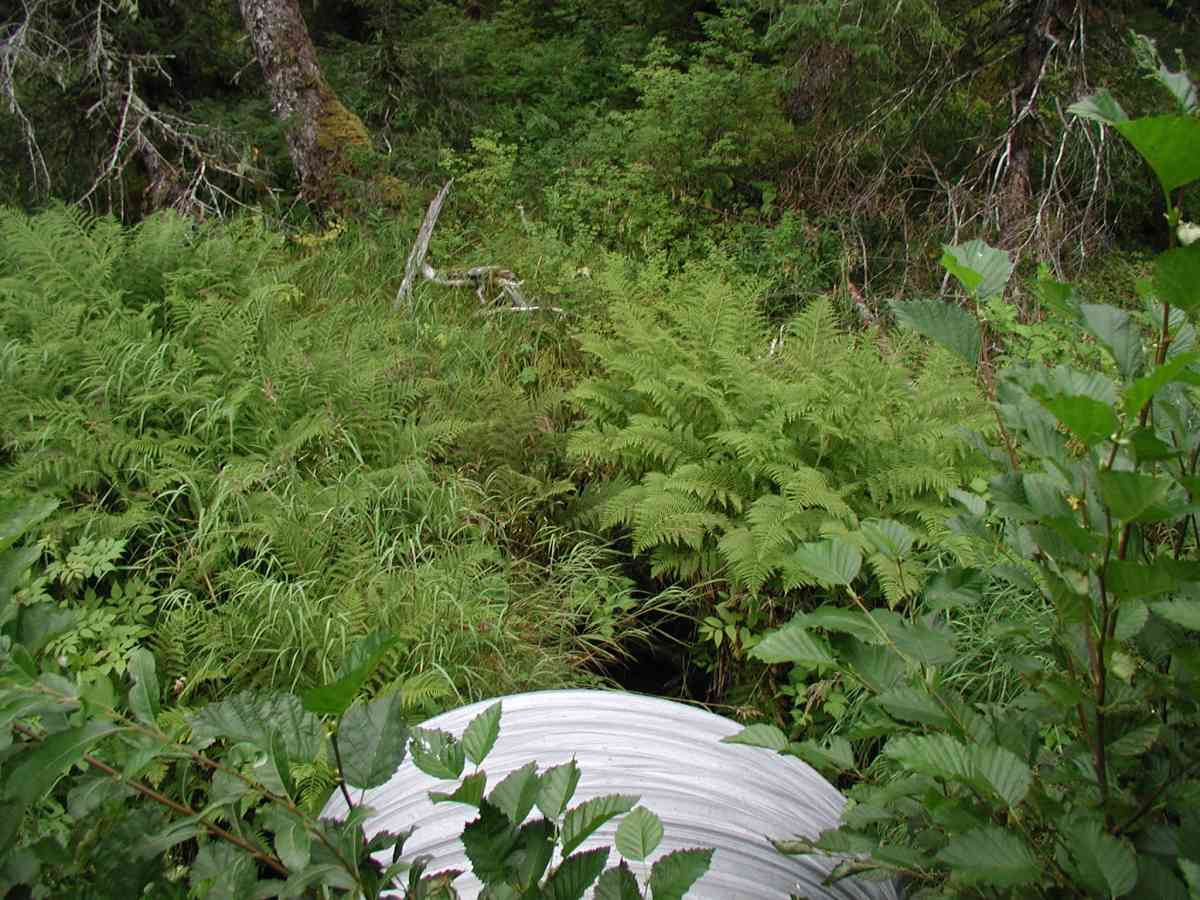
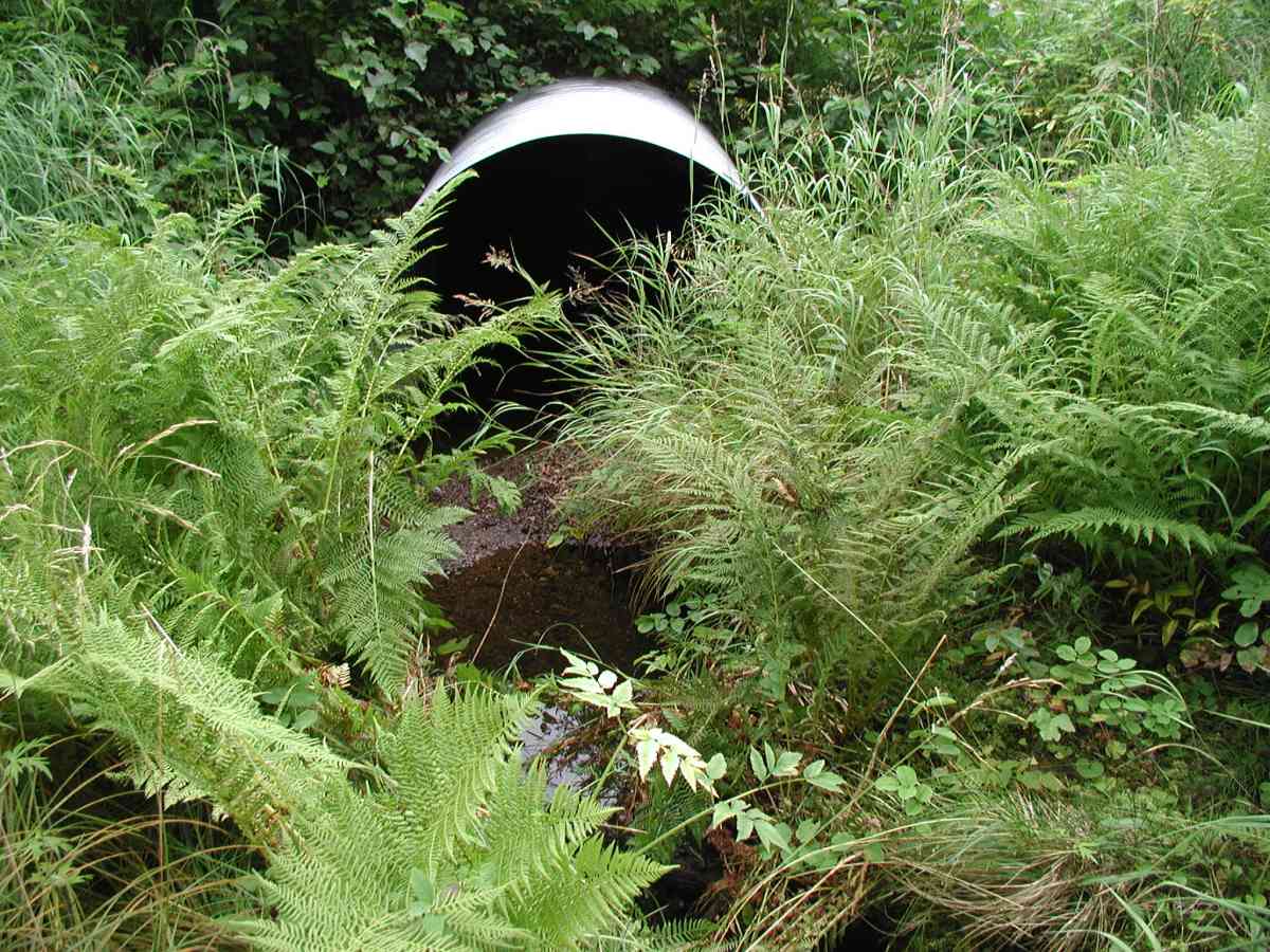
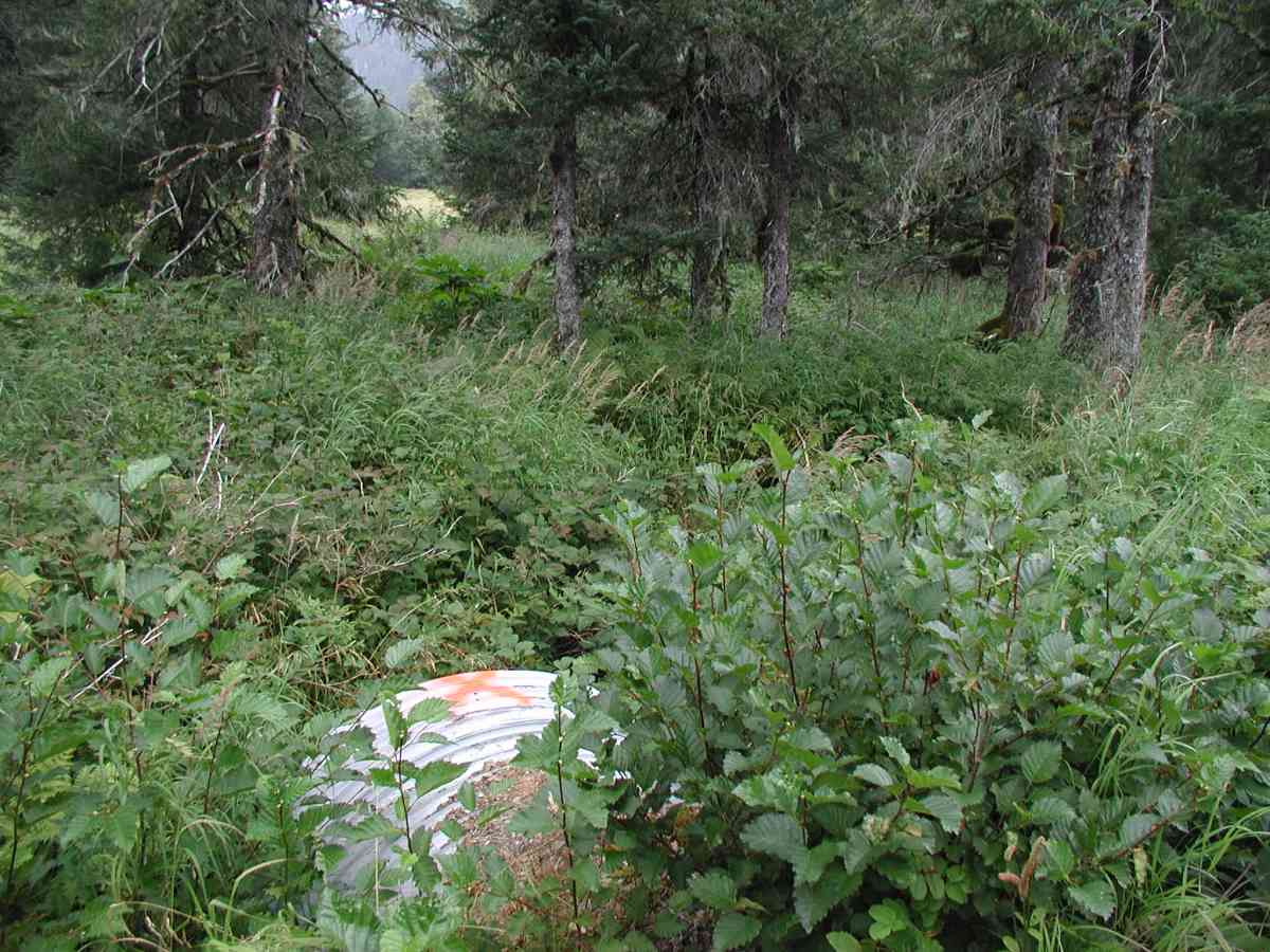
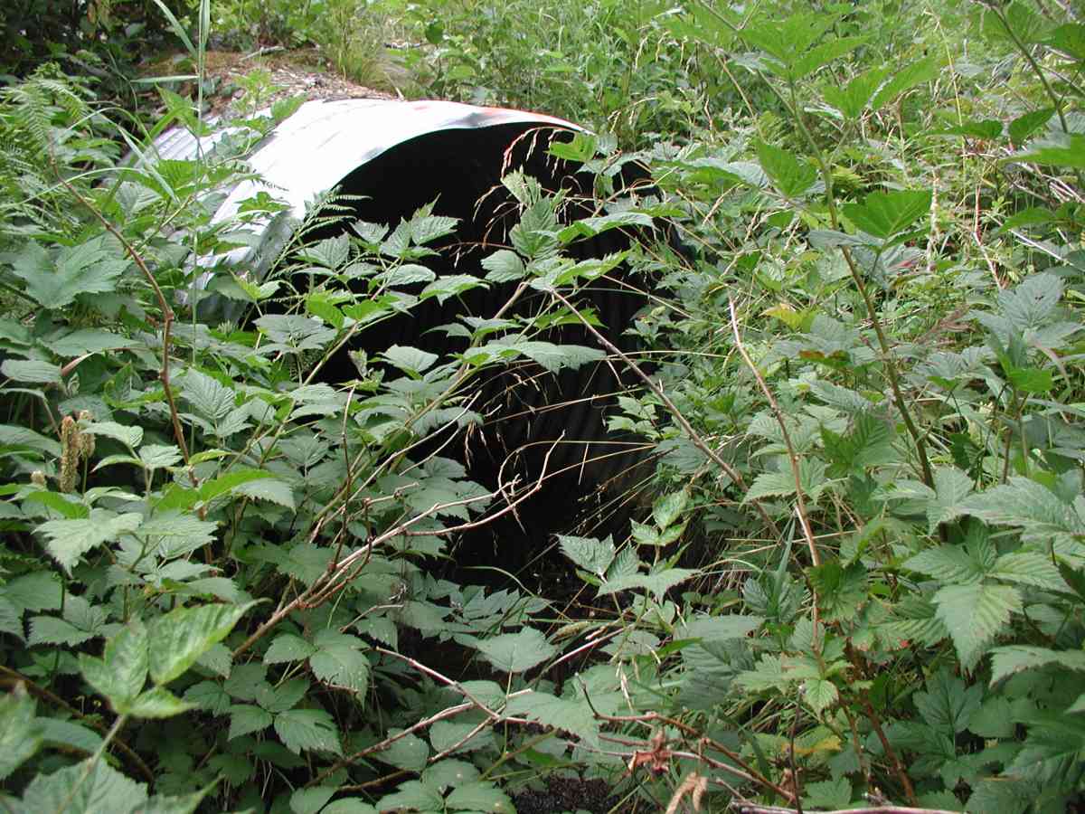
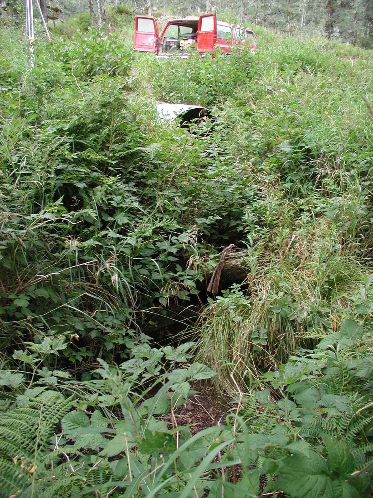
Site Comments: Location: Port Graham Stream: Channel is very narrow and shallow: depths <.1', intermittent pools with depths of 1'. Substrate is gravel/pebble and some sand.
Survey KPC04-1A117
Observers: Mary King, Pam Russell
Overall Fish Passage Rating:
Tidal: No
Backwatered: No
Step Pools:
Construction Year:
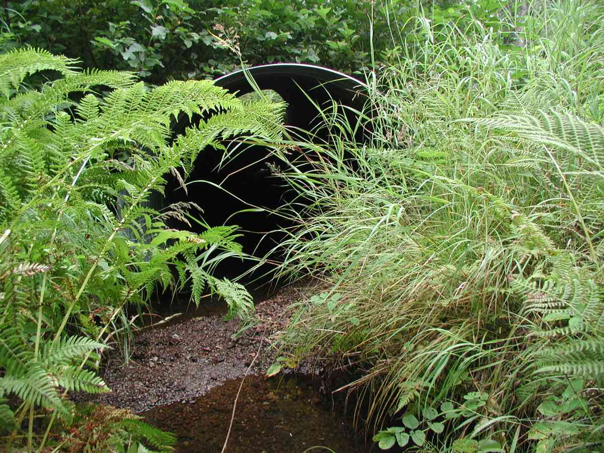
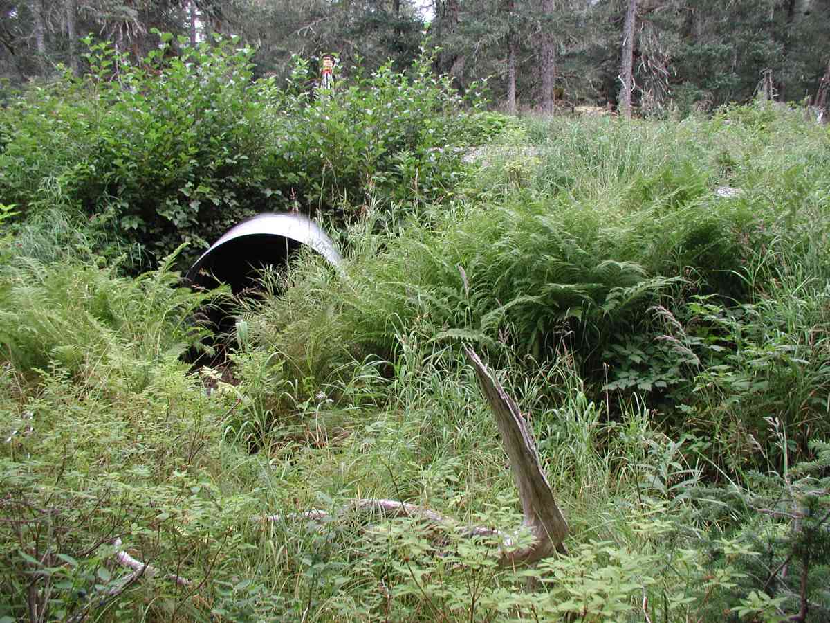
Comments: Location: Port Graham Stream: Channel is very narrow and shallow: depths <.1', intermittent pools with depths of 1'. Substrate is gravel/pebble and some sand. Inlet has a deep sand bar with a pool upstream of it. Outlet had a slight pool. Streambank is rather open with spruce trees and grass. No stream flow, ( no measurements taken). Bank undercut 5-10". Culvert: Pipe condition=1. 100% embedded. The inlet of the pipe had a moon shape cut from the bottom.
Culvert Measurements
| ID: 1 | Structure Type: Circular pipe (Corrugated Metal) | Fish Passage Rating: | |||||||||||||||||||||||||||||||||||||||||
|
|
|
|||||||||||||||||||||||||||||||||||||||||
Stream Measurements
|
|
| Stream Width Type | Distance From Crossing (ft) |
Stream Width (ft) |
|---|---|---|
| Upstream bank full | 75.0 | 3.75 |
| Upstream bank full | 100.0 | 3.08 |
| Upstream bank full | 125.0 | 2.08 |
| Upstream bank full | 150.0 | 4.25 |
| Upstream bed width | 75.0 | 1.67 |
| Upstream bed width | 100.0 | 0.83 |
| Upstream bed width | 125.0 | 0.83 |
| Upstream bed width | 150.0 | 0.42 |
| Upstream ordinary high water | 75.0 | 2.92 |
| Upstream ordinary high water | 100.0 | 0.83 |
| Upstream ordinary high water | 125.0 | 0.83 |
| Upstream ordinary high water | 150.0 | 1.75 |
Elevations
| Locator ID | Culvert Number |
River Distance (ft)1 |
Distance From Crossing (ft)2 |
Relative Elevation (ft) |
|---|---|---|---|---|
| D/S Thalweg | 95.67 | |||
| D/S Tailcrest or 1st Thalweg | 95.78 | |||
| U/S Thalweg | 1 | 95.83 | ||
| OHW Left Bank | 95.86 | |||
| OHW Left Bank (Sand bar forms a slight tailcrest.) | 96.54 | |||
| Outlet Culvert Top (Orange painted "X" on top of outlet. Measurement taken on 1st full coorugation.) | 1 | 100.00 | ||
| Max Pool Depth | 0.00 | 5.0 | 95.76 | |
| Outlet Invert (These measurement were taken after excavating for pipe bottom.) | 1 | 5.00 | 0.0 | 95.21 |
| Road Elev (Road surface.) | 25.00 | 100.58 | ||
| Inlet Culvert Invert (These measurement were taken after excavating for pipe bottom.) | 1 | 45.00 | 0.0 | 95.74 |
Notes:
- River distance is measured continuously throughout the survey reach along the thalweg of the stream.
- Measured from each end of the crossing along the thalweg of the stream.
Fish Sampling Efforts
No fish sampling occurred during this survey.
Fish Observations
No fish observations occurred during this survey.
Photos
Questions or comments about this report can be directed to dfg.dsf.webmaster@alaska.gov