Fish Passage Site 20300927
Coordinates (dec. deg.): 59.27855°, -151.65529°
Legal Description: S010S014W28
Region: South Central
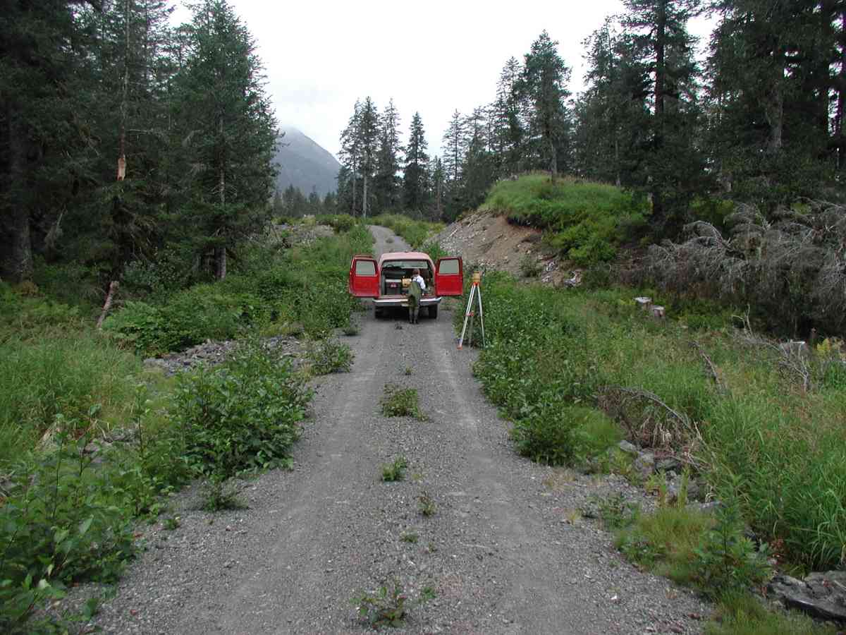
Road Name: Port Graham
Datum: NAD83
Quad Name / ITM: Seldovia B-5
AWC Stream #:
Stream Name:
Elevation:
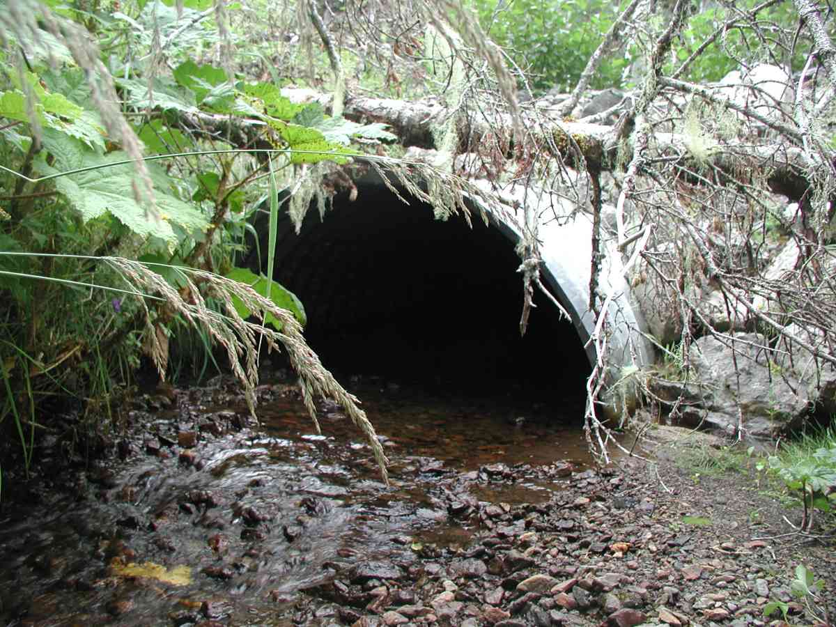
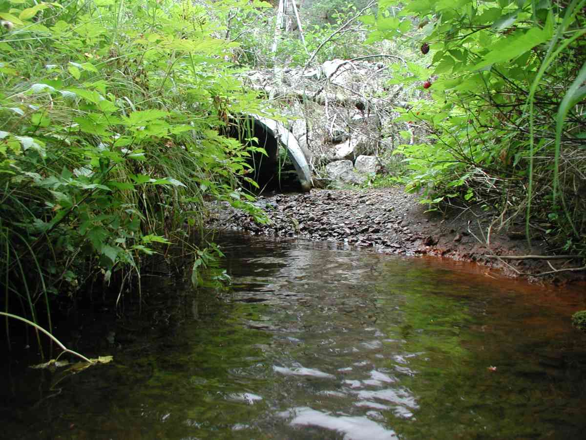
Site Comments: Location: Port Graham Stream: Substrate is gravel/pebble. Streambank vegetation varied from open to dense cover.
Survey KPC04-1A111
Observers: Mary King, Pam Russell
Overall Fish Passage Rating:
Tidal: No
Backwatered: No
Step Pools:
Construction Year:
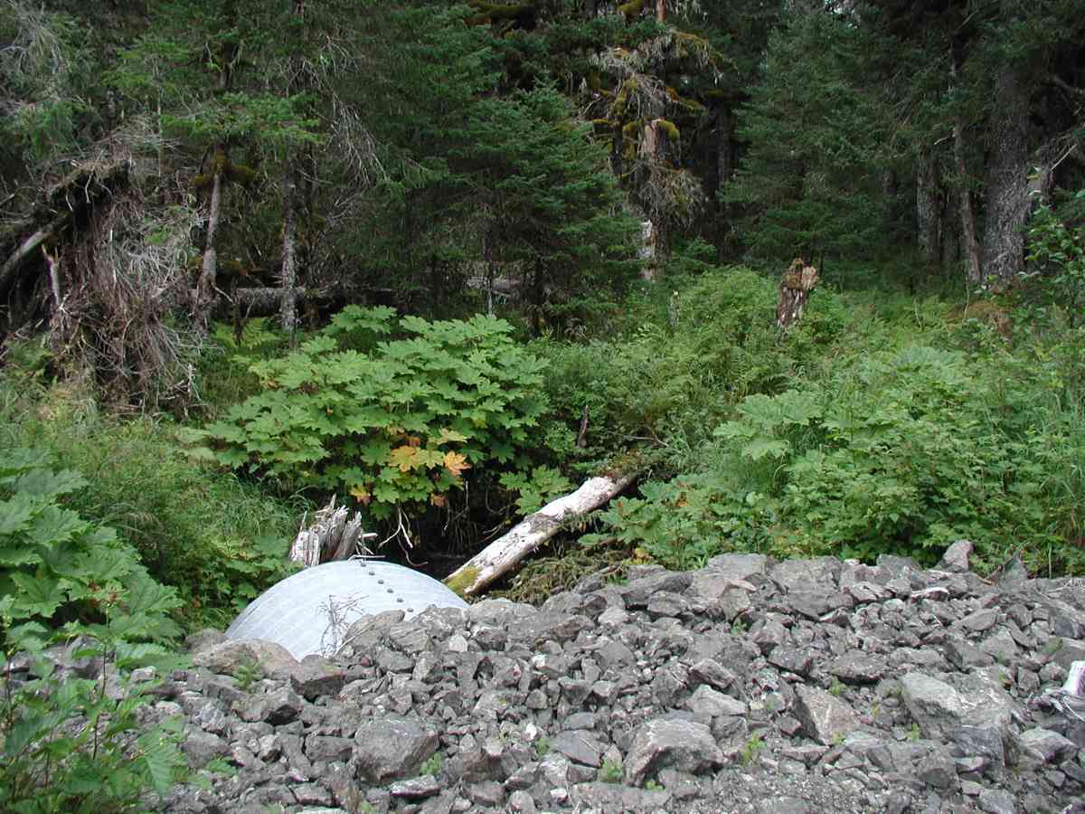
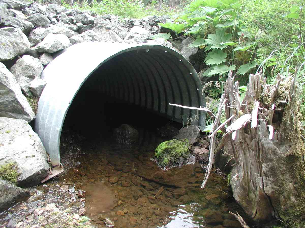
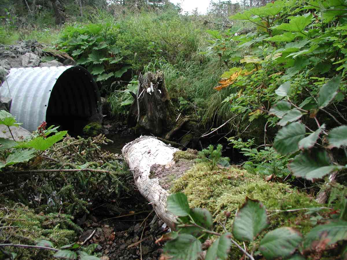
Comments: Location: Port Graham Stream: Substrate is gravel/pebble. Streambank vegetation varied from open to dense cover. Outlet pool is minimal, having a very small tailcrest. Flow measurements were done 70" upstream; rocks and a tree were problematic. Culvert: Arch is supported on rocks and is slightly embedded at outlet. Pipe condition=5.
Culvert Measurements
| ID: 1 | Structure Type: Open-bottom arch (Corrugated Metal) | Fish Passage Rating: | |||||||||||||||||||||||||||||||||||||||||
|
|
|
|||||||||||||||||||||||||||||||||||||||||
Stream Measurements
|
|
| Stream Width Type | Distance From Crossing (ft) |
Stream Width (ft) |
|---|---|---|
| Upstream bank full | 75.0 | 11.33 |
| Upstream bank full | 100.0 | 8.08 |
| Upstream bank full | 125.0 | 8.75 |
| Upstream bank full | 150.0 | 8.33 |
| Upstream bed width | 75.0 | 4.52 |
| Upstream bed width | 100.0 | 2.33 |
| Upstream bed width | 125.0 | 4.75 |
| Upstream bed width | 150.0 | 2.67 |
| Upstream ordinary high water | 75.0 | 9.00 |
| Upstream ordinary high water | 100.0 | 6.75 |
| Upstream ordinary high water | 125.0 | 6.92 |
| Upstream ordinary high water | 150.0 | 5.92 |
Elevations
| Locator ID | Culvert Number |
River Distance (ft)1 |
Distance From Crossing (ft)2 |
Relative Elevation (ft) |
|---|---|---|---|---|
| D/S Thalweg | 96.98 | |||
| D/S Tailcrest or 1st Thalweg | 97.04 | |||
| OHW Left Bank | 97.21 | |||
| OHW Left Bank | 97.31 | |||
| U/S Thalweg | 1 | 98.05 | ||
| Outlet Culvert Top (Orange painted "X" on top of culvert. Measurement taken from 1st full corrugation.) | 1 | 100.00 | ||
| Max Pool Depth | 0.00 | 5.0 | 96.13 | |
| Outlet Invert (measurement from substrate.) | 1 | 5.00 | 0.0 | 97.13 |
| Road Elev (Road surface.) | 25.50 | 102.01 | ||
| Inlet Culvert Invert | 1 | 46.00 | 0.0 | 97.18 |
Notes:
- River distance is measured continuously throughout the survey reach along the thalweg of the stream.
- Measured from each end of the crossing along the thalweg of the stream.
Fish Sampling Efforts
No fish sampling occurred during this survey.
Fish Observations
No fish observations occurred during this survey.
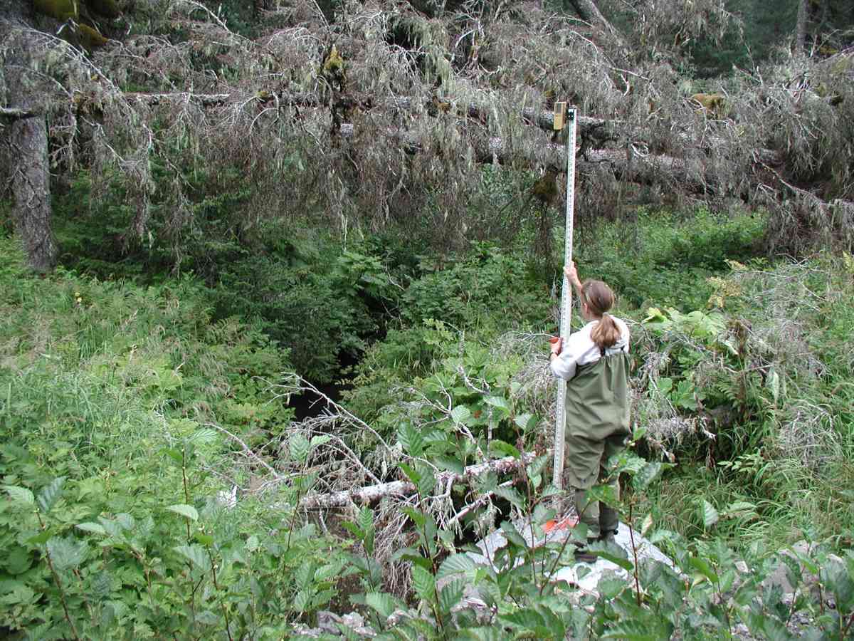
Photos
Questions or comments about this report can be directed to dfg.dsf.webmaster@alaska.gov