Fish Passage Site 20300893
Coordinates (dec. deg.): 59.95301°, -151.68321°
Legal Description: S002S014W33
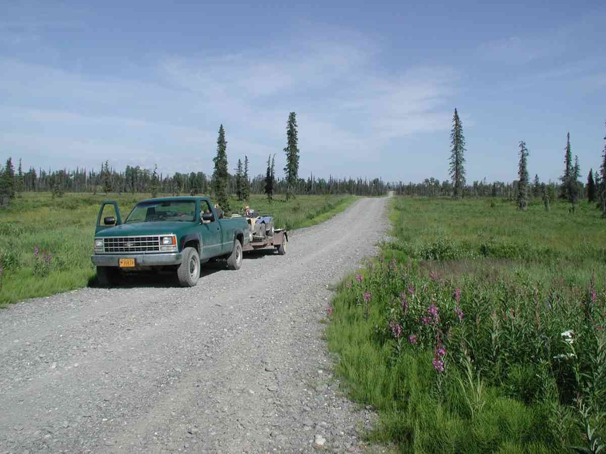
Region: South Central
Road Name: East Road
Datum: NAD83
Quad Name / ITM: Seldovia D-5
AWC Stream #:
Stream Name:
Elevation:
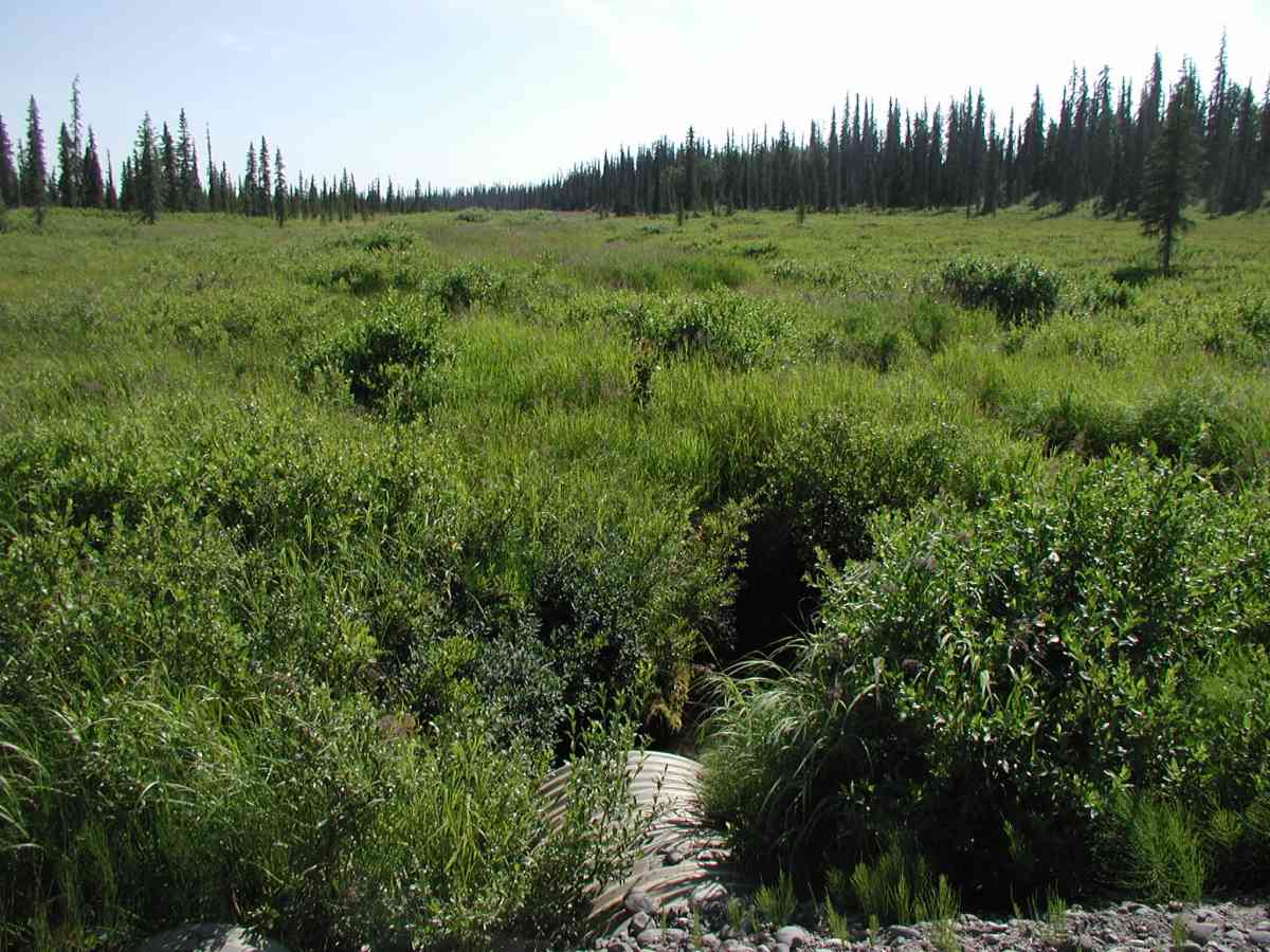
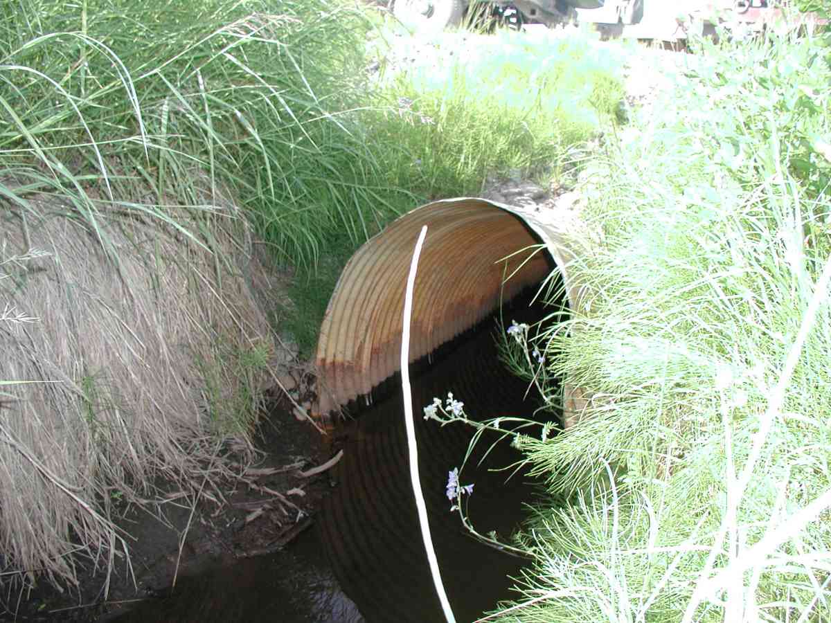
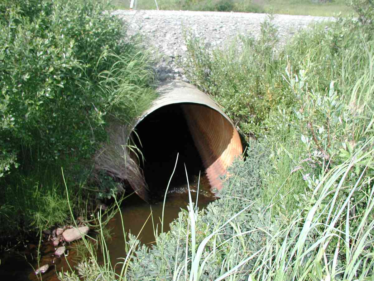
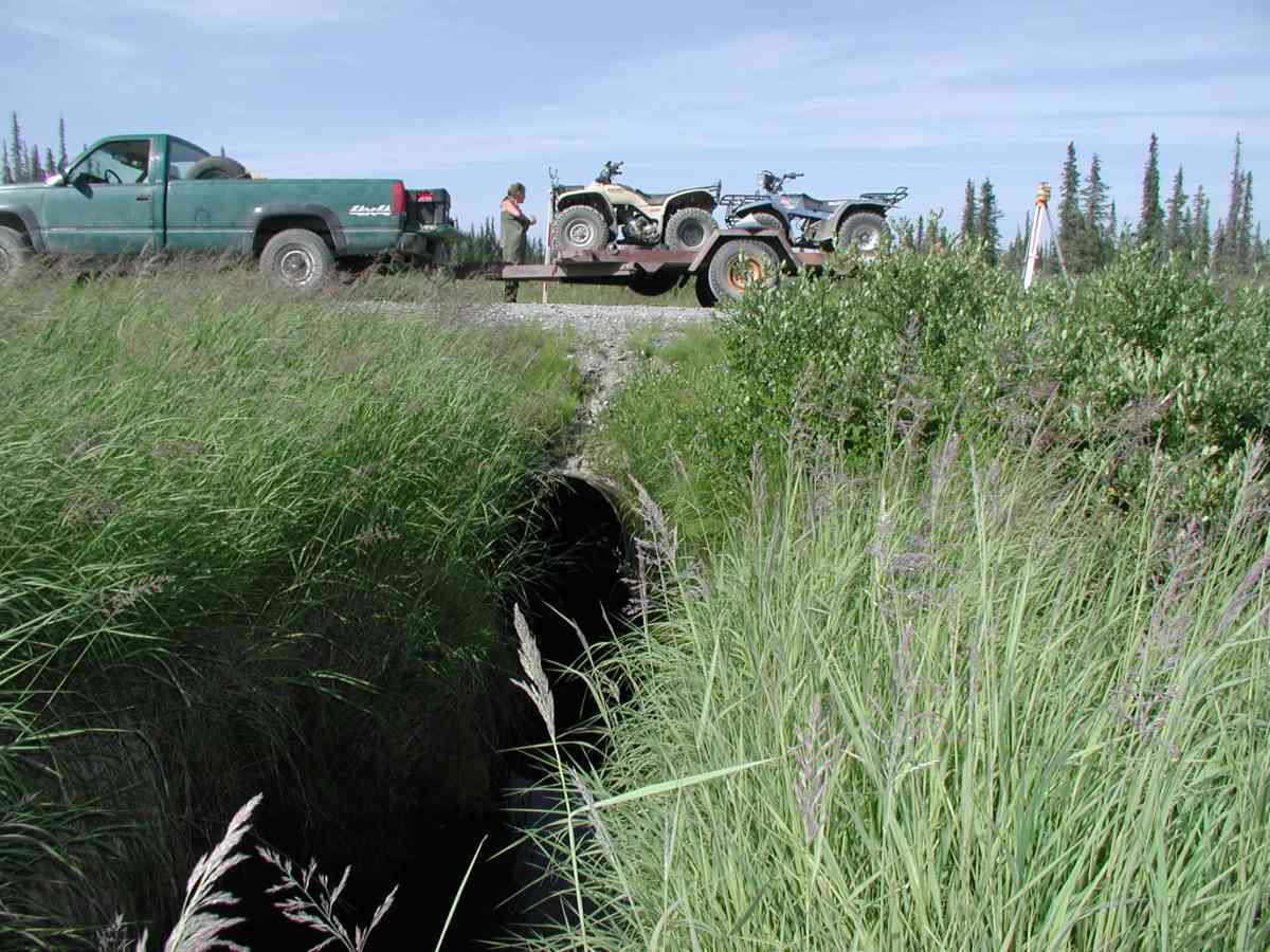
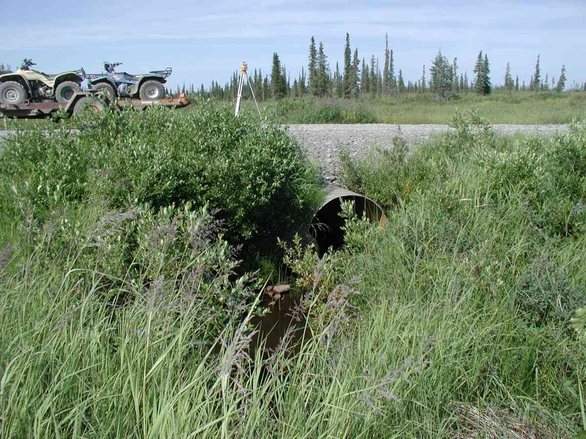
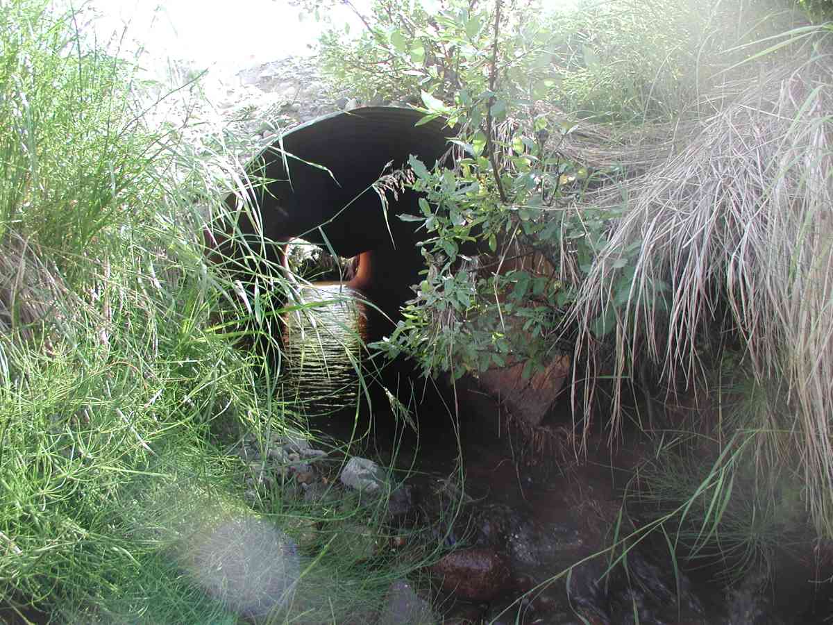
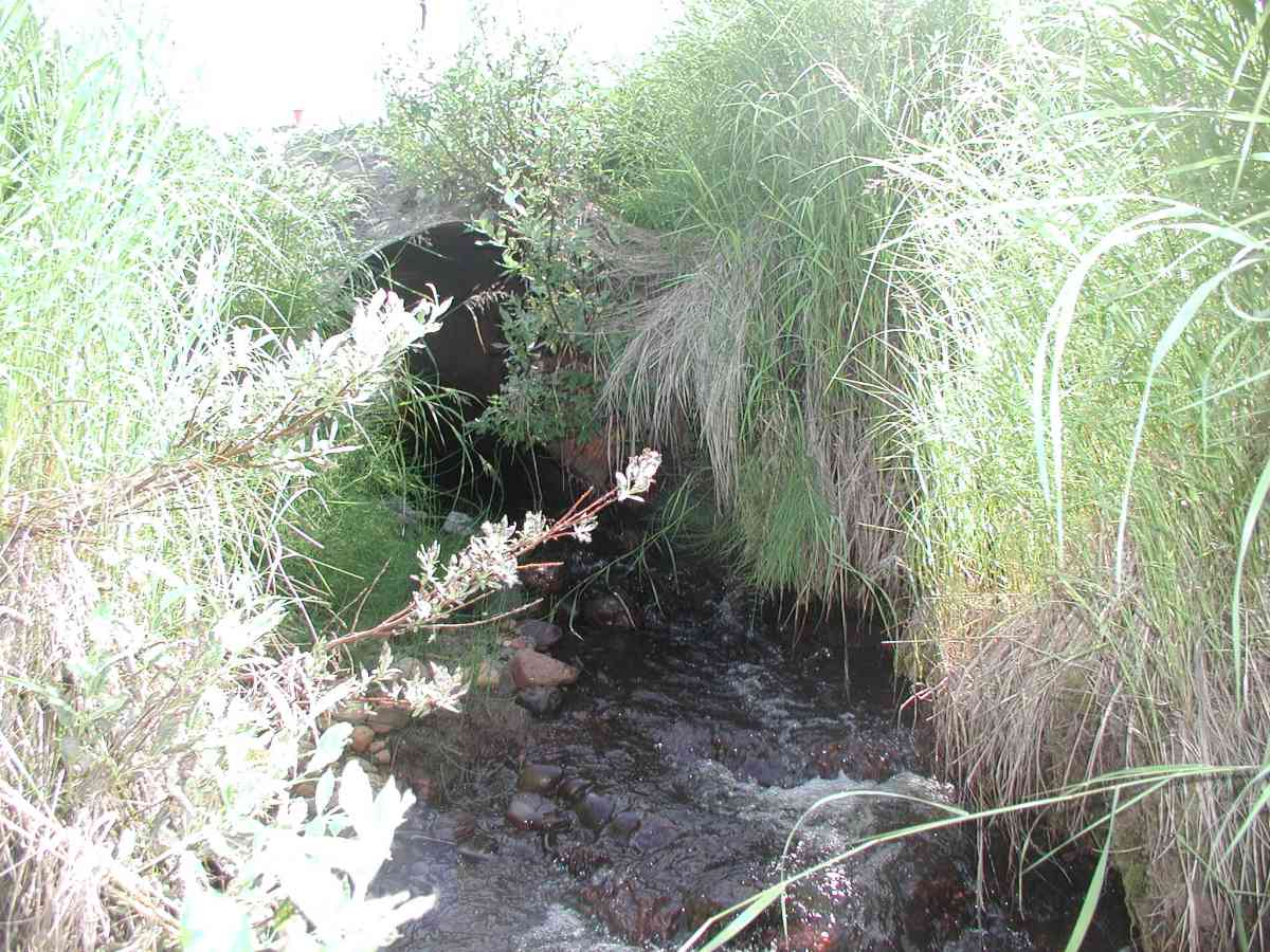
Site Comments: Location: East Rd. Ponding occurred immediately upstream of the pipe and began again ~30' downstream of the pipe.
Survey KPC04-1A022
Observers: Mary King, Pam Russell
Overall Fish Passage Rating:
Tidal: No
Backwatered: No
Step Pools:
Construction Year:
Comments: Location: East Rd. Stream: Ponding occurred immediately upstream of the pipe and began again ~30' downstream of the pipe. Bank undercut ranged from 6-12". Culvert: 3 overflow pipes and 1 functional pipe (see data form for placement). The main pipe is badly squashed allowing little water to pass. Pipe condition=3. Not embedded.
Culvert Measurements
| ID: 1 | Structure Type: Circular pipe (Corrugated Metal) | Fish Passage Rating: | |||||||||||||||||||||||||||||||||||||||||
|
|
|
|||||||||||||||||||||||||||||||||||||||||
Comments: 3 overflow pipes and 1 functional pipe (see data form for placement). The main pipe is badly squashed allowing little water to pass. Pipe condition=3. Not embedded. |
|||||||||||||||||||||||||||||||||||||||||||
Culvert Observations:
|
|||||||||||||||||||||||||||||||||||||||||||
Stream Measurements
|
|
| Stream Width Type | Distance From Crossing (ft) |
Stream Width (ft) |
|---|---|---|
| Upstream bank full | 75.0 | 5.58 |
| Upstream bank full | 100.0 | 6.83 |
| Upstream bank full | 125.0 | 5.00 |
| Upstream bank full | 150.0 | 8.17 |
| Upstream bed width | 75.0 | 4.33 |
| Upstream bed width | 100.0 | 4.25 |
| Upstream bed width | 125.0 | 2.83 |
| Upstream bed width | 150.0 | 5.00 |
| Upstream ordinary high water | 75.0 | 4.08 |
| Upstream ordinary high water | 100.0 | 4.58 |
| Upstream ordinary high water | 125.0 | 3.50 |
| Upstream ordinary high water | 150.0 | 5.25 |
Elevations
| Locator ID | Culvert Number |
River Distance (ft)1 |
Distance From Crossing (ft)2 |
Relative Elevation (ft) |
|---|---|---|---|---|
| D/S Tailcrest or 1st Thalweg | 95.70 | |||
| D/S Thalweg | 95.95 | |||
| OHW Left Bank | 96.28 | |||
| OHW Left Bank | 96.59 | |||
| Outlet Culvert Top (Orange painted "X" on top of functional right outlet pipe.) | 1 | 100.00 | ||
| U/S Thalweg | 1 | 95.36 | ||
| Max Pool Depth | 0.00 | 5.0 | 95.68 | |
| Outlet Invert | 1 | 5.00 | 0.0 | 96.08 |
| Road Elev (Road surface) | 22.00 | 102.23 | ||
| Inlet Culvert Invert | 1 | 39.00 | 0.0 | 96.27 |
Notes:
- River distance is measured continuously throughout the survey reach along the thalweg of the stream.
- Measured from each end of the crossing along the thalweg of the stream.
Fish Sampling Efforts
No fish sampling occurred during this survey.
Fish Observations
No fish observations occurred during this survey.
Photos


Questions or comments about this report can be directed to dfg.dsf.webmaster@alaska.gov