Fish Passage Site 20300887
Coordinates (dec. deg.): 60.04990°, -151.34671°
Legal Description: S001S012W33
Region: South Central
Road Name: Oil Well Road
Datum: NAD83
Quad Name / ITM: Kenai A-4
AWC Stream #:
Stream Name:
Elevation:
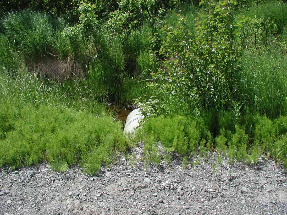
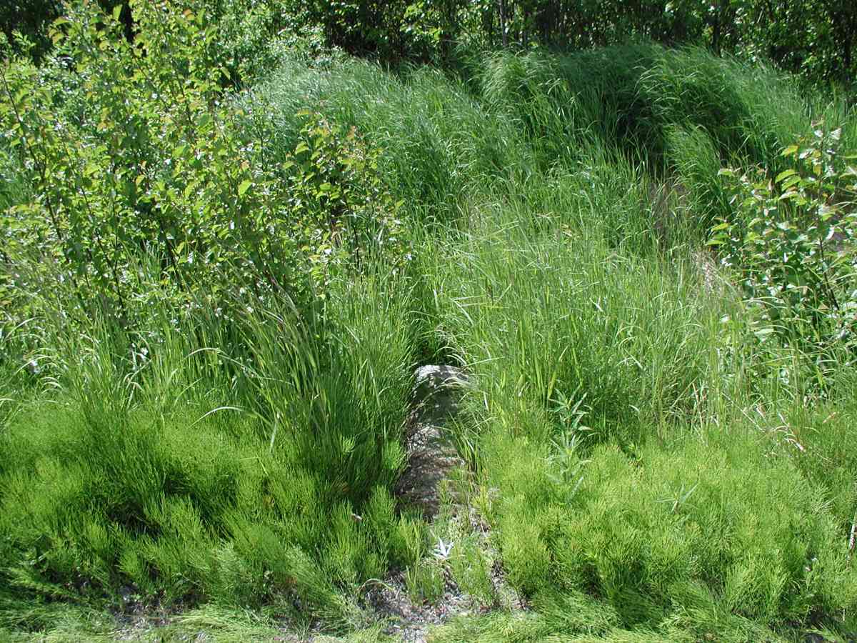
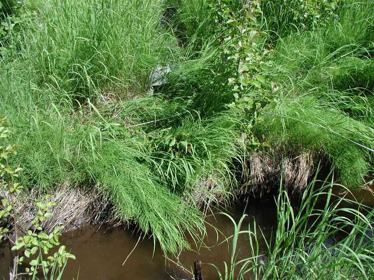
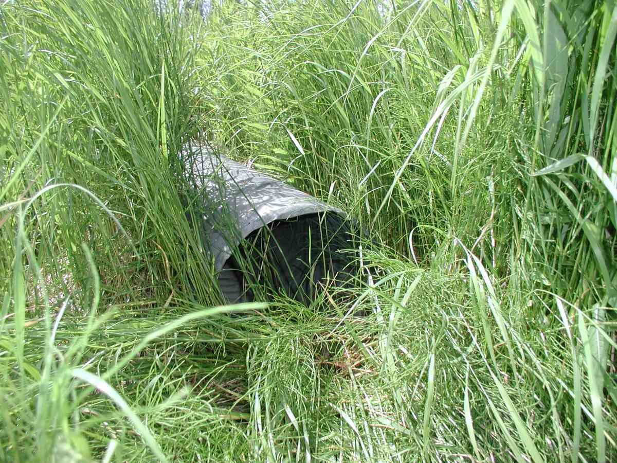
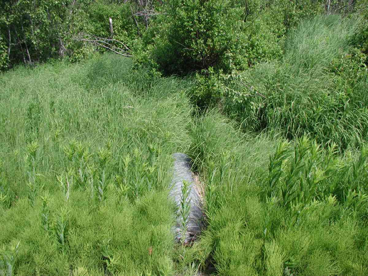
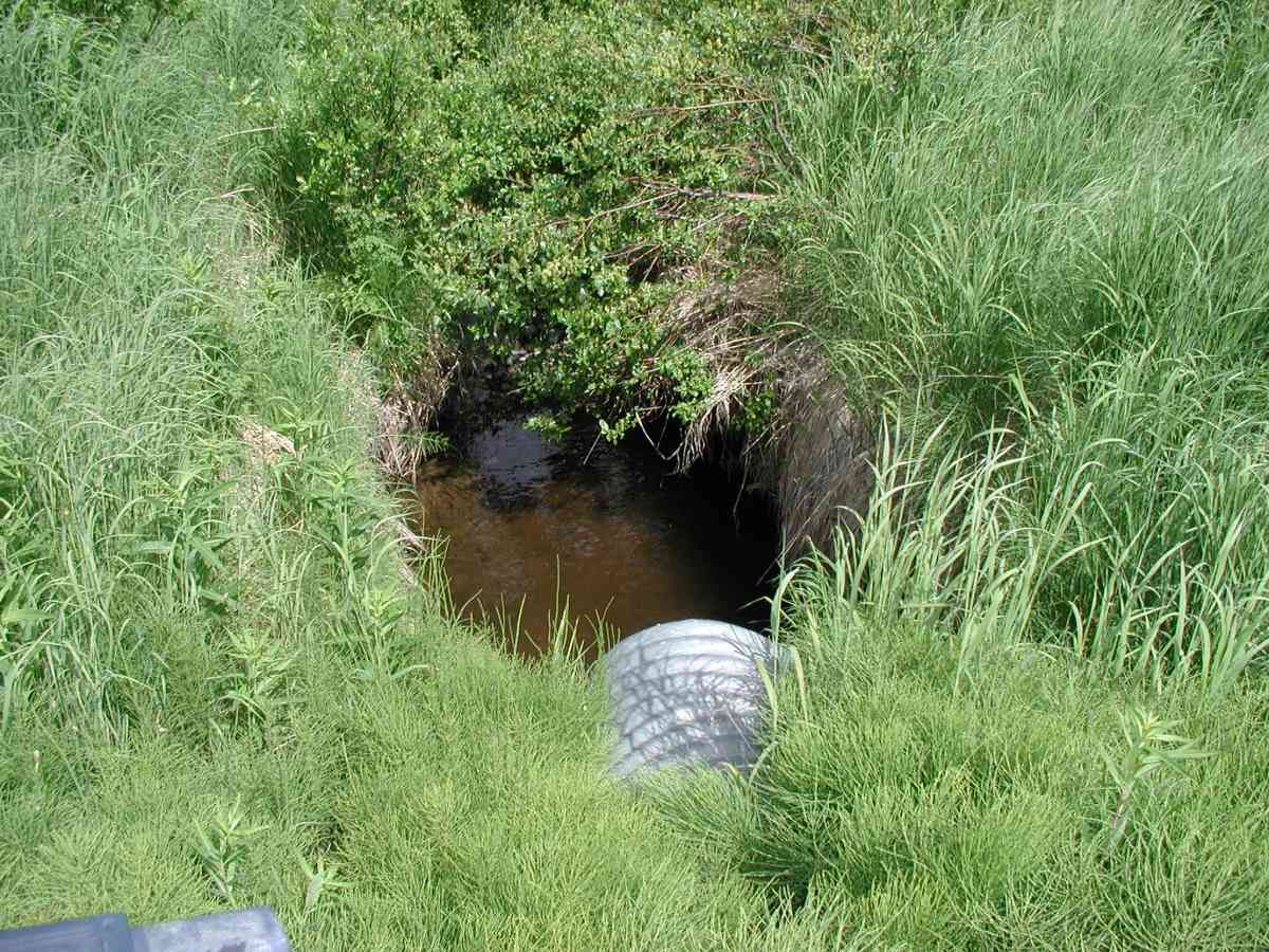
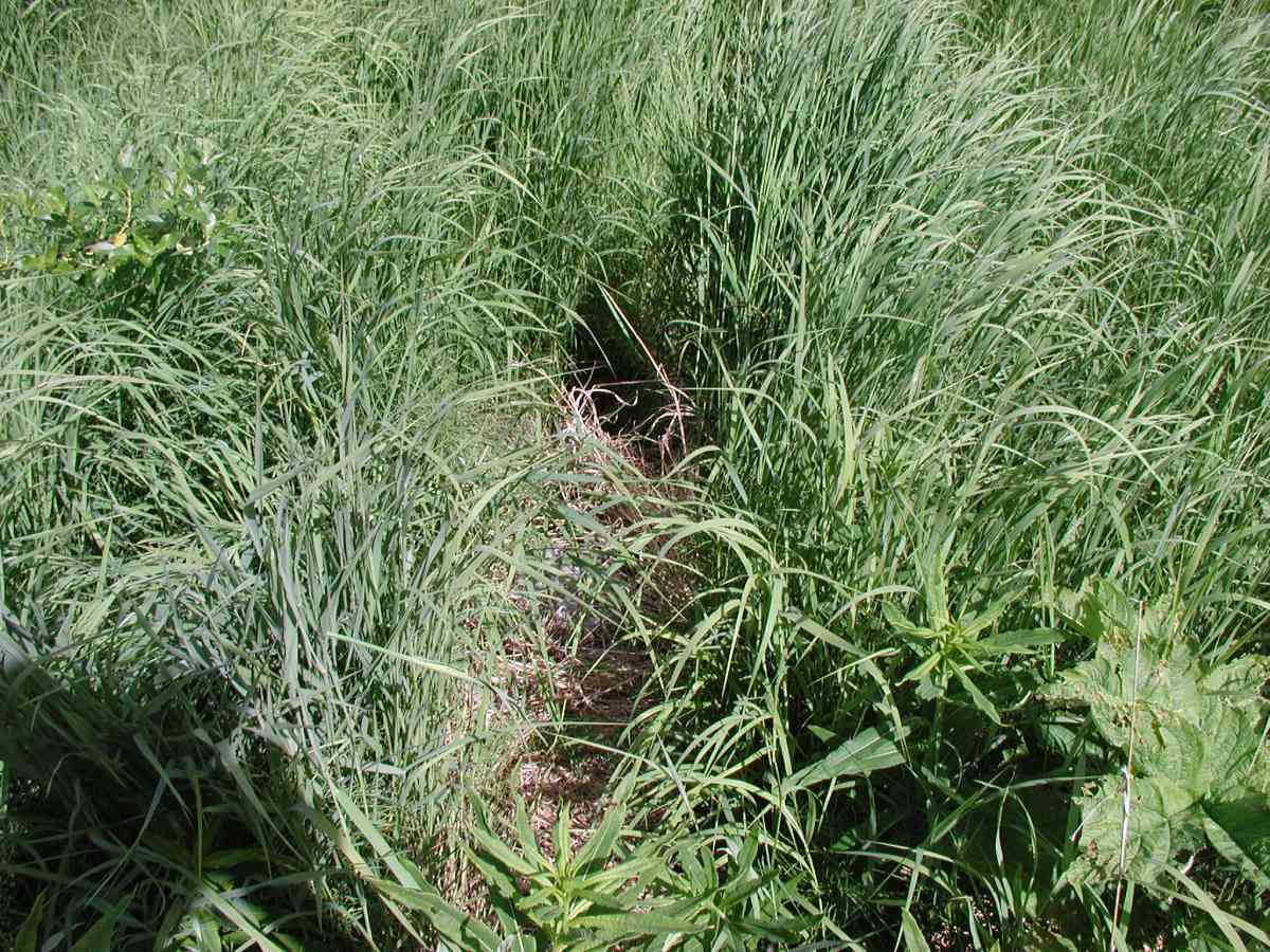
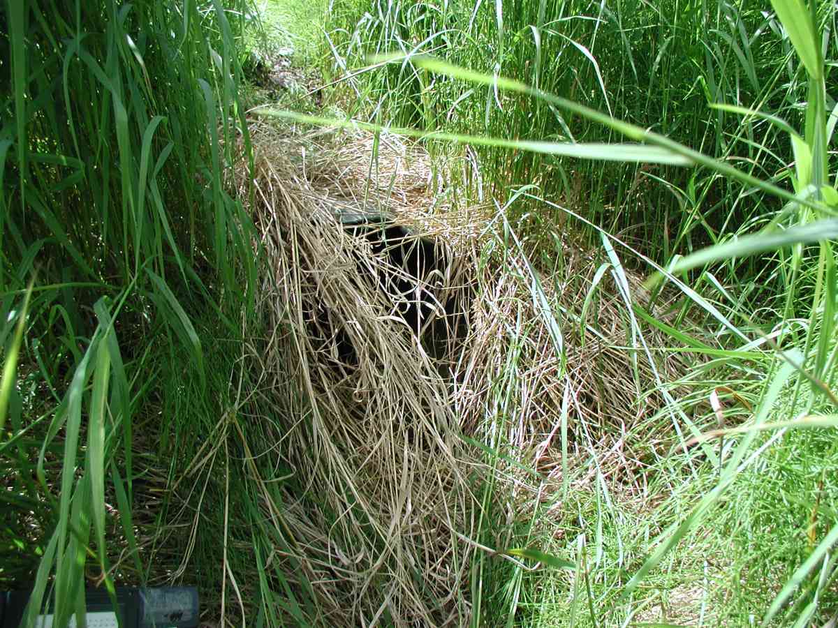
Site Comments: Location: Oil Well Road to Tribal Council Road. The stream formed a pond fro ~40' upstream and then went subterranean w/ overgrown vegetation.
Survey KPC04-1A014
Observers: Mary King, Pam Russell
Overall Fish Passage Rating:
Tidal: No
Backwatered: No
Step Pools:
Construction Year:
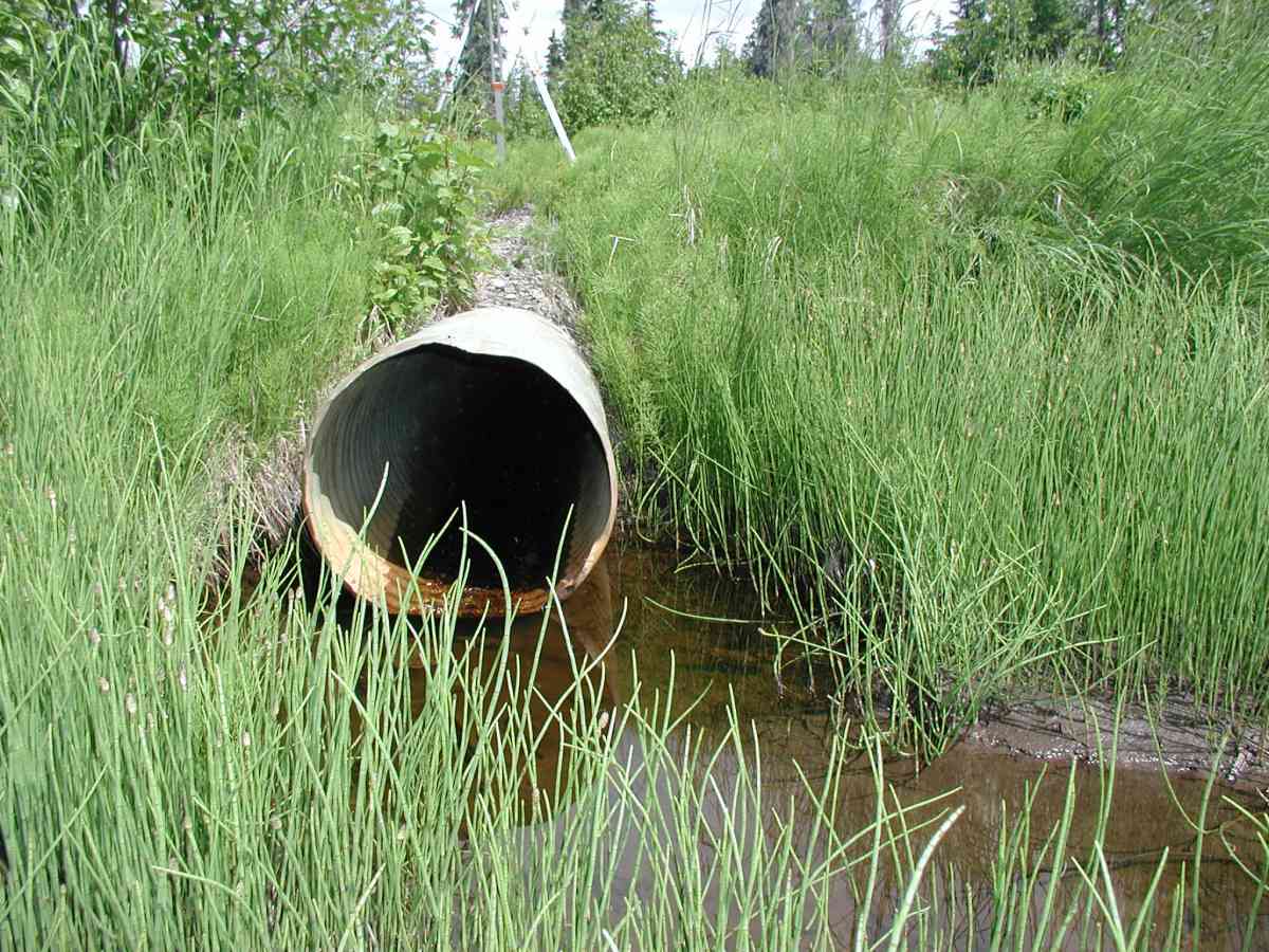
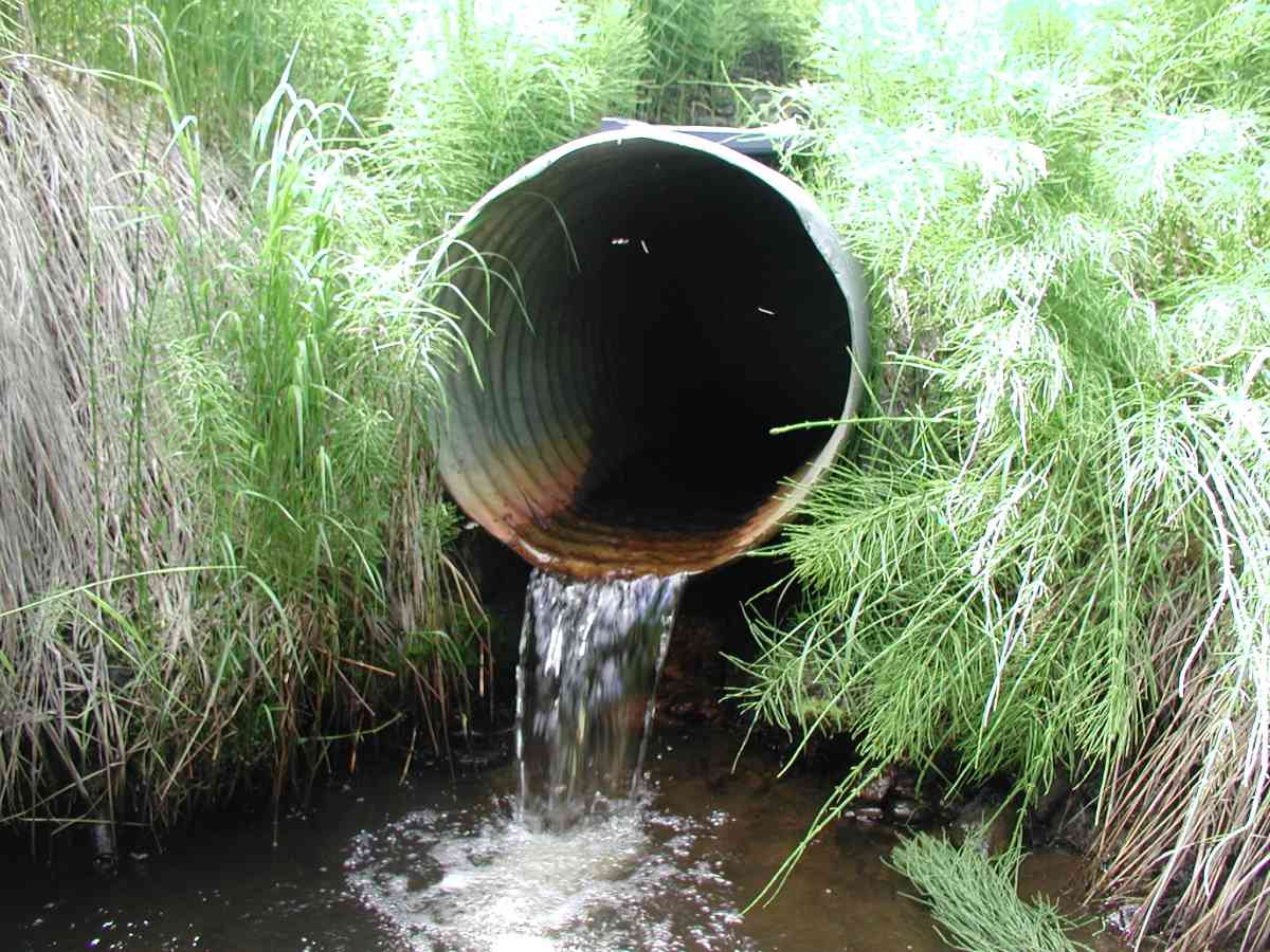
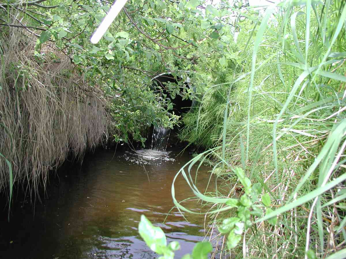
Comments: Location: Oil Well Road to Tribal Council Road. Stream: The stream formed a pond fro ~40' upstream and then went subterranean w/ overgrown vegetation. No stream flow measurements were taken--the stream was too shallow and it merged with another stream 30' downstream of the pipe. Culvert: Two overflow pipes were dry, overgrown with vegetation and were well above local stream surface in area. The left had a 1' hole on top with road surface gravel inside and the right was squashed. The functional pipe was perched. Pipe condition=3 (functional, with rust and abrasion showing). Not embedded.
Culvert Measurements
| ID: 1 | Structure Type: Circular pipe (Corrugated Metal) | Fish Passage Rating: | |||||||||||||||||||||||||||||||||||||||||
|
|
|
|||||||||||||||||||||||||||||||||||||||||
Stream Measurements
|
|
| Stream Width Type | Distance From Crossing (ft) |
Stream Width (ft) |
|---|---|---|
| Upstream bank full | 40.0 | 4.75 |
| Upstream bed width | 40.0 | 2.17 |
| Upstream ordinary high water | 40.0 | 3.75 |
Elevations
| Locator ID | Culvert Number |
River Distance (ft)1 |
Distance From Crossing (ft)2 |
Relative Elevation (ft) |
|---|---|---|---|---|
| D/S Thalweg | 95.66 | |||
| Max Pool Depth | 96.29 | |||
| D/S Tailcrest or 1st Thalweg | 96.74 | |||
| OHW Left Bank | 97.00 | |||
| OHW Left Bank | 97.63 | |||
| U/S Thalweg | 1 | 98.25 | ||
| Outlet Culvert Top (Top crest of outlet, on seam nearest to pipe end, scratched a "carat".) | 1 | 100.00 | ||
| Outlet Invert | 1 | 0.00 | 0.0 | 98.02 |
| Road Elev (Road surface) | 16.00 | 102.10 | ||
| Inlet Culvert Invert | 1 | 32.00 | 0.0 | 99.36 |
Notes:
- River distance is measured continuously throughout the survey reach along the thalweg of the stream.
- Measured from each end of the crossing along the thalweg of the stream.
Fish Sampling Efforts
No fish sampling occurred during this survey.
Fish Observations
No fish observations occurred during this survey.
Photos


Questions or comments about this report can be directed to dfg.dsf.webmaster@alaska.gov