Fish Passage Site 20300884
Coordinates (dec. deg.): 60.02729°, -151.40081°
Legal Description: S002S012W06
Region: South Central
Road Name: Oil Well Road
Datum: NAD83
Quad Name / ITM: Kenai A-4
AWC Stream #: 244-20-10100-2019
Stream Name:
Elevation:
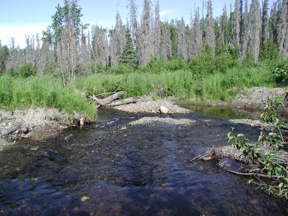
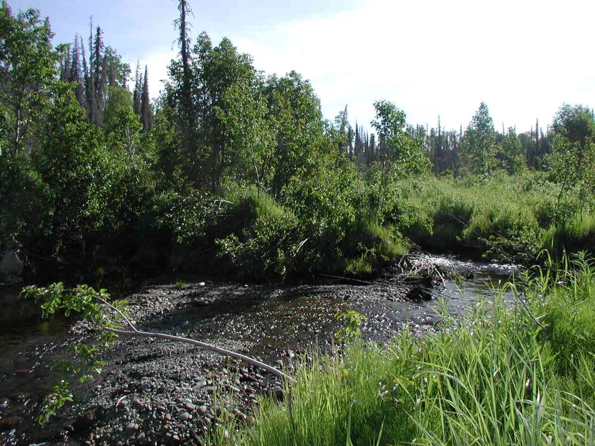
Site Comments: Location: Oil Well Rd. to 1200 Rd.Stream: Streamsides are bermed on the road to deter crossings. Channel braided upstream of rd. At road crossing, channel is about 2-3X wider than normal channel width. Flow measurements done upstream of road where normal channel formed and having good flow, 7/7/04. Culvert: Washout with old pipe ~75yds. downstream.
Survey KPC04-1A011
Observers: Mary King, Pam Russell
Overall Fish Passage Rating:
Tidal: No
Backwatered: No
Step Pools:
Construction Year:
Comments: None
Culvert Measurements
No measurement data available.
Stream Measurements
|
|
No stream width data available.
Elevations
No elevation data available.
Fish Sampling Efforts
No fish sampling occurred during this survey.
Fish Observations
No fish observations occurred during this survey.
Photos


Questions or comments about this report can be directed to dfg.dsf.webmaster@alaska.gov