Fish Passage Site 20300883
Coordinates (dec. deg.): 60.18492°, -151.30540°
Legal Description: S001N012W11
Region: South Central
Road Name: Falls Creek Road
Datum: NAD83
Quad Name / ITM: Kenai A-4
AWC Stream #: 244-20-10090
Stream Name:
Elevation:
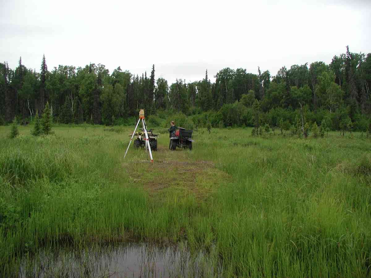
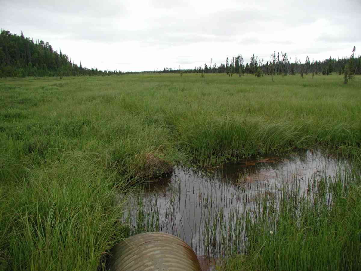
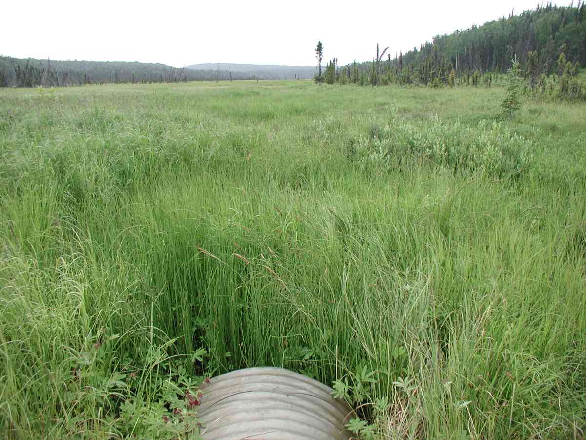
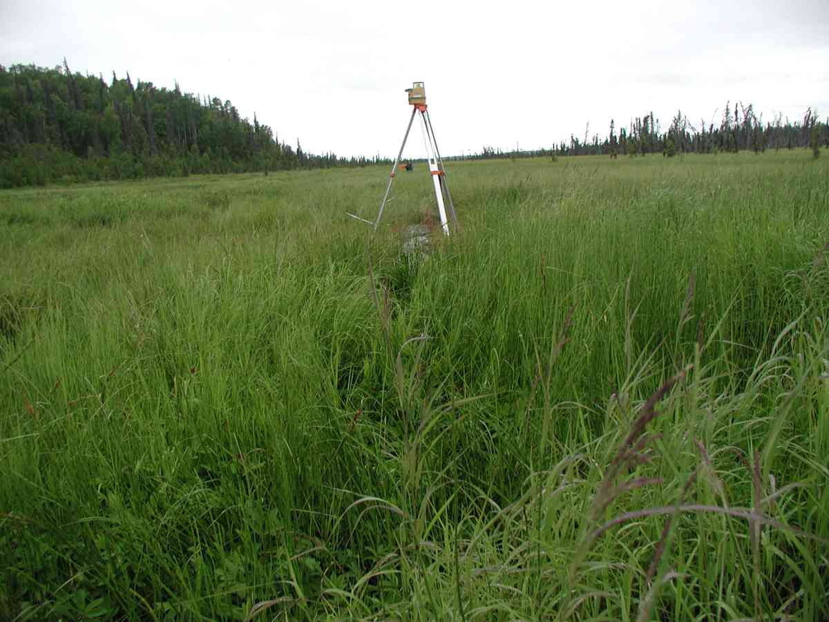
Site Comments: Location: Falls Creek Rd. Stream lies in an open marsh that it drains. Visible flow on surface, but very slow. Stream bottom very vegetated.
Survey KPC04-1A008
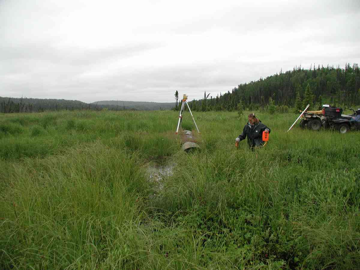
Observers: Mary King, Pam Russell
Overall Fish Passage Rating:
Tidal: No
Backwatered: No
Step Pools:
Construction Year:
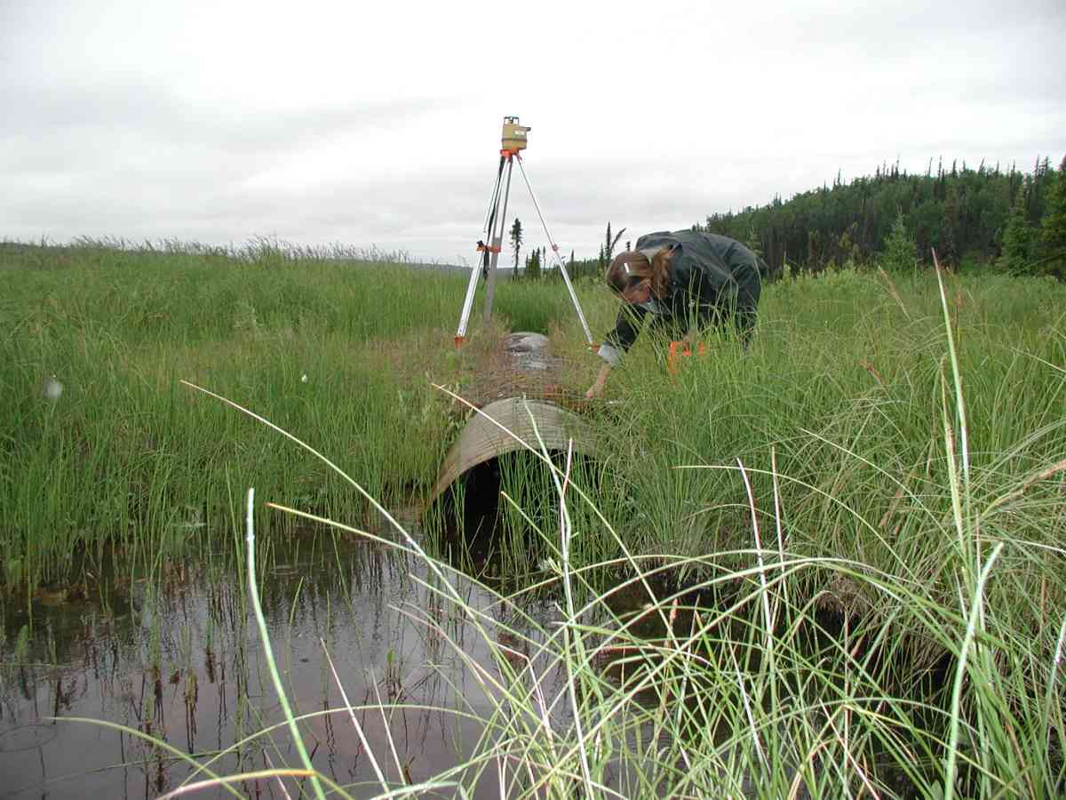
Comments: Location: Falls Creek Rd. Stream: Stream lies in an open marsh that it drains. Ponding occurs upstream of inlet with channel forming ~25' upstream. Visible flow on surface, but very slow (discharge measurement @ 100' upstream). Stream bottom very vegetated. Culvert: Culvert forms a crown where an ATV trail crosses the marsh.
Culvert Measurements
| ID: 1 | Structure Type: Open-bottom arch (Corrugated Metal) | Fish Passage Rating: | |||||||||||||||||||||||||||||||||||||||||
|
|
|
|||||||||||||||||||||||||||||||||||||||||
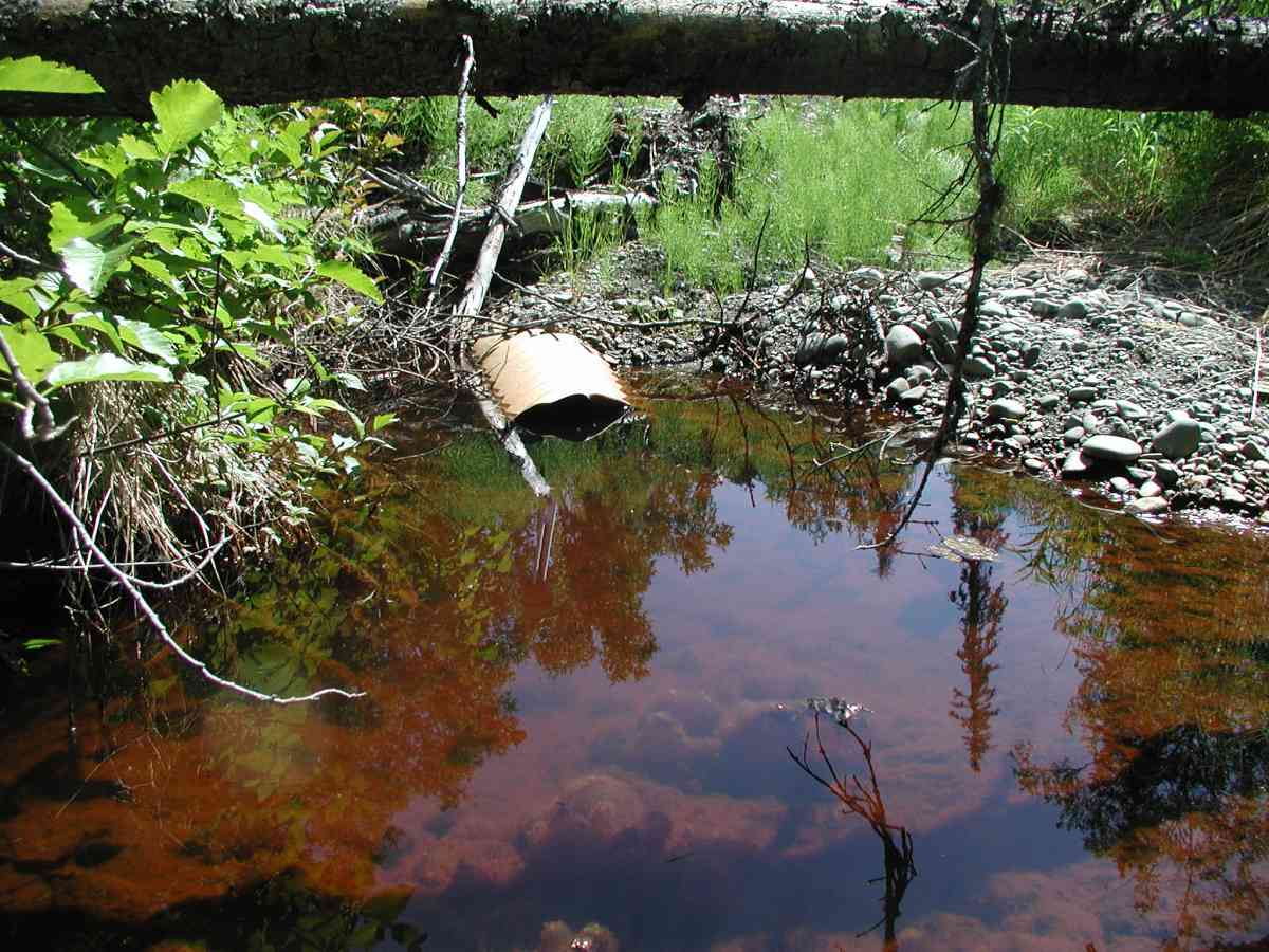
Comments: No distinct tailcrest...gradual elevation increase in streambed for a distance downstream. 2" hole in the outlet, ~20" from the edge. Pipe condition=4. Embedded-Yes. |
|||||||||||||||||||||||||||||||||||||||||||
Stream Measurements
|
|
| Stream Width Type | Distance From Crossing (ft) |
Stream Width (ft) |
|---|---|---|
| Upstream bank full | 75.0 | 2.75 |
| Upstream bank full | 100.0 | 2.67 |
| Upstream bank full | 125.0 | 3.03 |
| Upstream bank full | 150.0 | 3.00 |
| Upstream bed width | 75.0 | 1.03 |
| Upstream bed width | 100.0 | 2.08 |
| Upstream bed width | 125.0 | 2.42 |
| Upstream bed width | 150.0 | 1.17 |
| Upstream ordinary high water | 75.0 | 2.17 |
| Upstream ordinary high water | 100.0 | 2.00 |
| Upstream ordinary high water | 125.0 | 2.83 |
| Upstream ordinary high water | 150.0 | 2.58 |
Elevations
| Locator ID | Culvert Number |
River Distance (ft)1 |
Distance From Crossing (ft)2 |
Relative Elevation (ft) |
|---|---|---|---|---|
| D/S Thalweg | 97.62 | |||
| U/S Thalweg | 1 | 97.71 | ||
| D/S Tailcrest or 1st Thalweg | 98.10 | |||
| OHW Left Bank | 99.37 | |||
| OHW Left Bank | 99.71 | |||
| Outlet Culvert Top (Painted orange "X" on seam closest to the end of the outlet on top of the pipe.) | 1 | 100.00 | ||
| Max Pool Depth | 0.00 | 5.0 | 97.94 | |
| Outlet Invert (Taken from bottom of arch.) | 1 | 5.00 | 0.0 | 99.03 |
| Road Elev (Road surface.) | 15.00 | 99.48 | ||
| Inlet Culvert Invert (Taken from bottom of arch.) | 1 | 25.00 | 0.0 | 98.58 |
Notes:
- River distance is measured continuously throughout the survey reach along the thalweg of the stream.
- Measured from each end of the crossing along the thalweg of the stream.
Fish Sampling Efforts
No fish sampling occurred during this survey.
Fish Observations
No fish observations occurred during this survey.
Photos

Questions or comments about this report can be directed to dfg.dsf.webmaster@alaska.gov