Fish Passage Site 20300882
Coordinates (dec. deg.): 60.14039°, -151.36465°
Legal Description: S001N012W33
Region: South Central
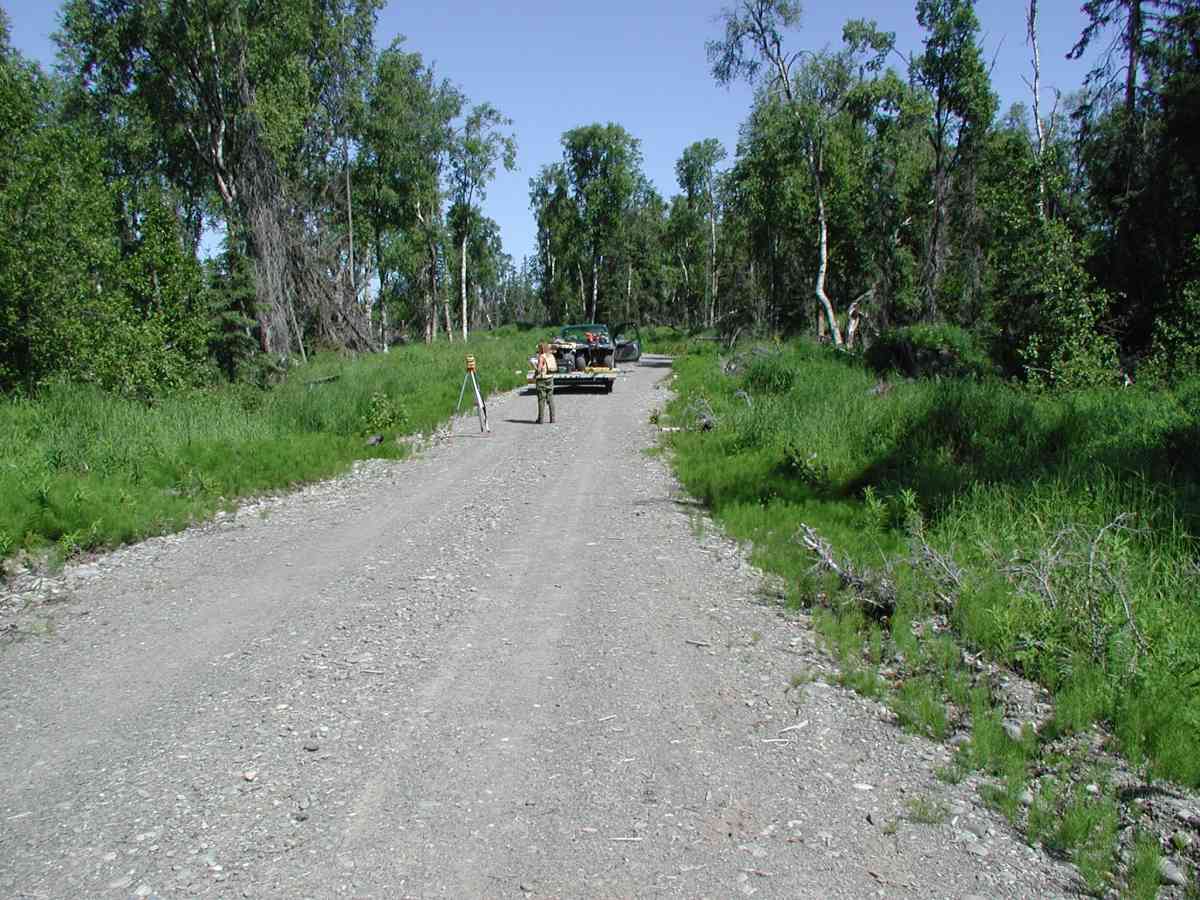
Road Name: Falls Creek Road
Datum: NAD83
Quad Name / ITM: Kenai A-4
AWC Stream #:
Stream Name:
Elevation:
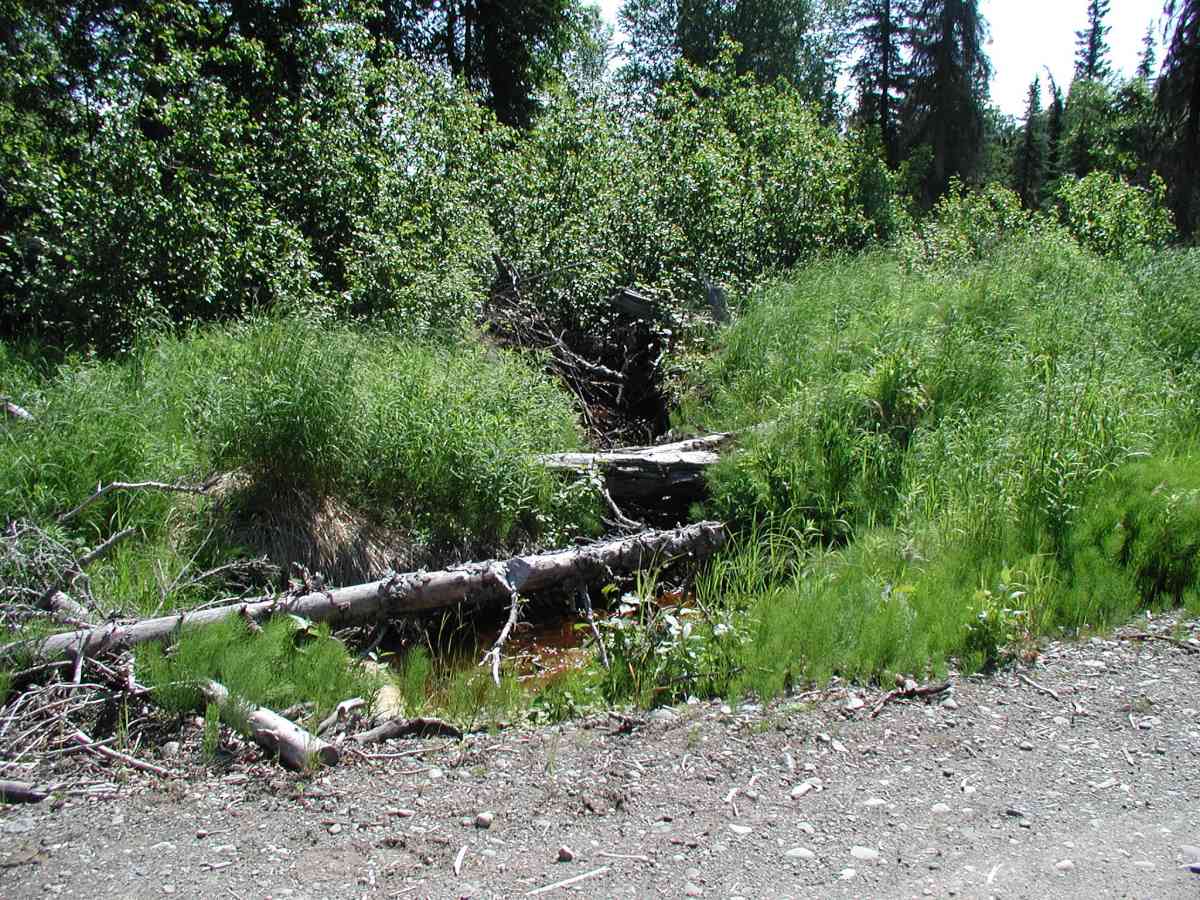
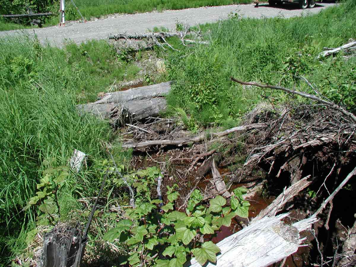
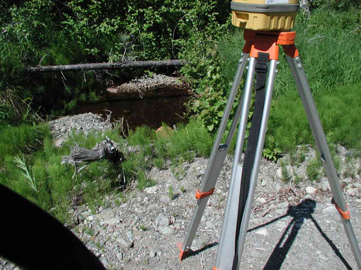
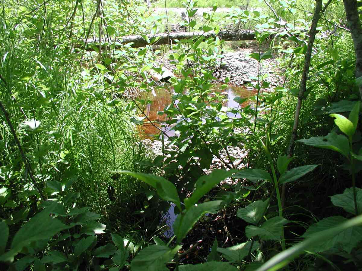
Site Comments: Location: Falls Creek Rd. Stream: Channel present 50' upstream of the inlet, disappearing into a marsh. No stream flow (no measurements taken); stagnant water with algae and iron fixing bacteria.
Survey KPC04-1A004
Observers: Mary King, Pam Russell
Overall Fish Passage Rating:
Tidal: No
Backwatered: No
Step Pools:
Construction Year:
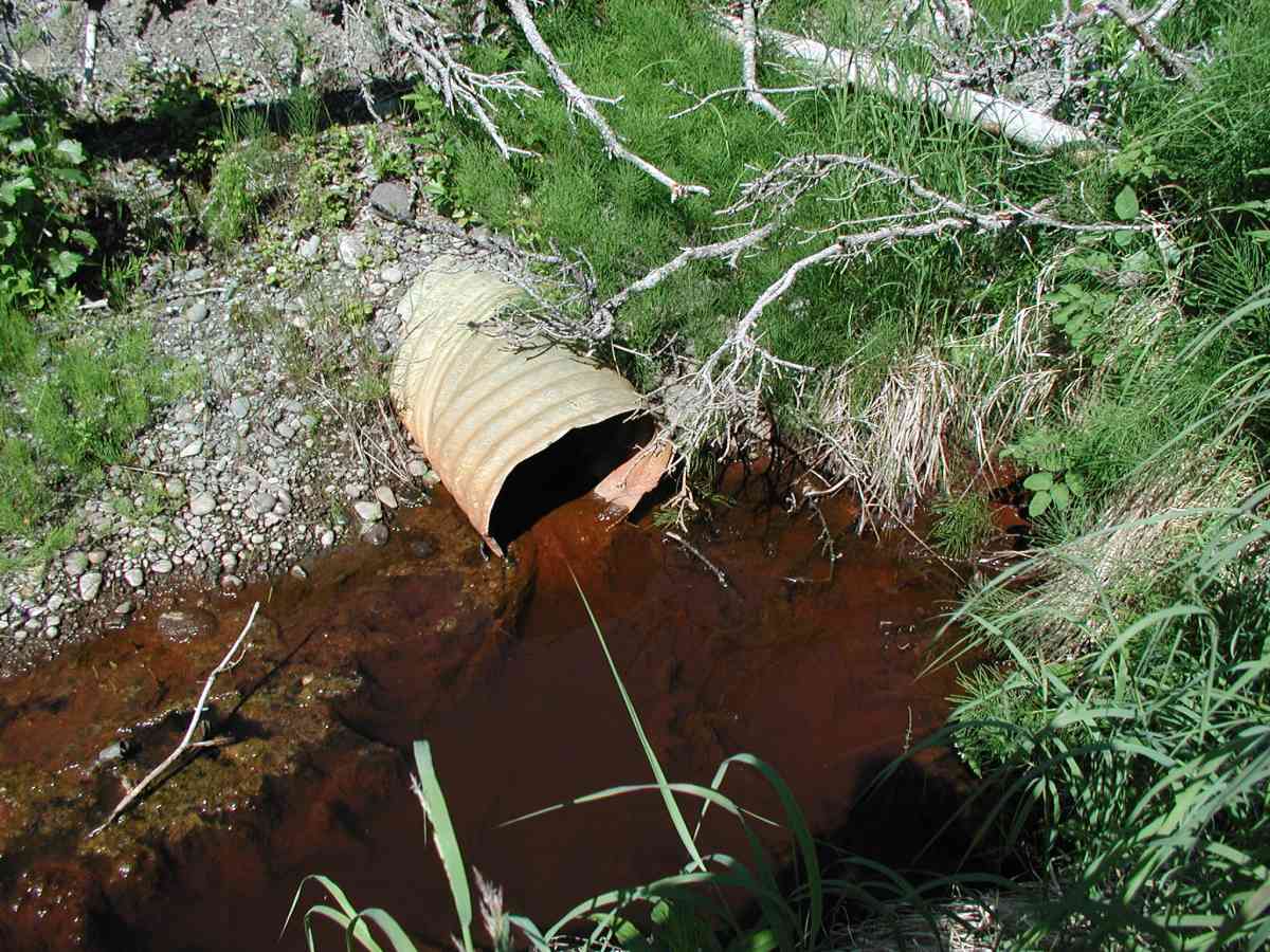
Comments: Location: Falls Creek Rd. Stream: Channel present 50' upstream of the inlet, disappearing into a marsh. No stream flow (no measurements taken); stagnant water with algae and iron fixing bacteria. Culvert: Pipe condition = 1 (rust interior and exterior, squashed). Embedded-no.
Culvert Measurements
| ID: 1 | Structure Type: Circular pipe (Corrugated Metal) | Fish Passage Rating: | |||||||||||||||||||||||||||||||||||||||||
|
|
|
|||||||||||||||||||||||||||||||||||||||||
Stream Measurements
|
|
| Stream Width Type | Distance From Crossing (ft) |
Stream Width (ft) |
|---|---|---|
| Upstream bank full | 50.0 | 7.33 |
| Upstream bed width | 50.0 | 3.67 |
| Upstream ordinary high water | 50.0 | 4.83 |
Elevations
| Locator ID | Culvert Number |
River Distance (ft)1 |
Distance From Crossing (ft)2 |
Relative Elevation (ft) |
|---|---|---|---|---|
| D/S Thalweg | 98.46 | |||
| U/S Thalweg | 1 | 98.49 | ||
| D/S Tailcrest or 1st Thalweg | 99.50 | |||
| OHW Left Bank | 99.59 | |||
| OHW Left Bank | 99.79 | |||
| Outlet Culvert Top (Scratched a line on top of the pipe at the first seam.) | 1 | 100.00 | ||
| Max Pool Depth | 0.00 | 5.0 | 99.17 | |
| Outlet Invert | 1 | 5.00 | 0.0 | 98.70 |
| Road Elev (Road surface) | 20.50 | 101.61 | ||
| Inlet Culvert Invert | 1 | 36.00 | 0.0 | 99.69 |
Notes:
- River distance is measured continuously throughout the survey reach along the thalweg of the stream.
- Measured from each end of the crossing along the thalweg of the stream.
Fish Sampling Efforts
No fish sampling occurred during this survey.
Fish Observations
No fish observations occurred during this survey.
Photos
Questions or comments about this report can be directed to dfg.dsf.webmaster@alaska.gov