Fish Passage Site 20300738
Coordinates (dec. deg.): 60.87370°, -149.03813°
Legal Description: S009N002E14
Region: South Central
Road Name: Seward Highway
Datum: NAD83
Quad Name / ITM: Seward D-6
AWC Stream #: 247-60-10234
Stream Name:
Elevation:
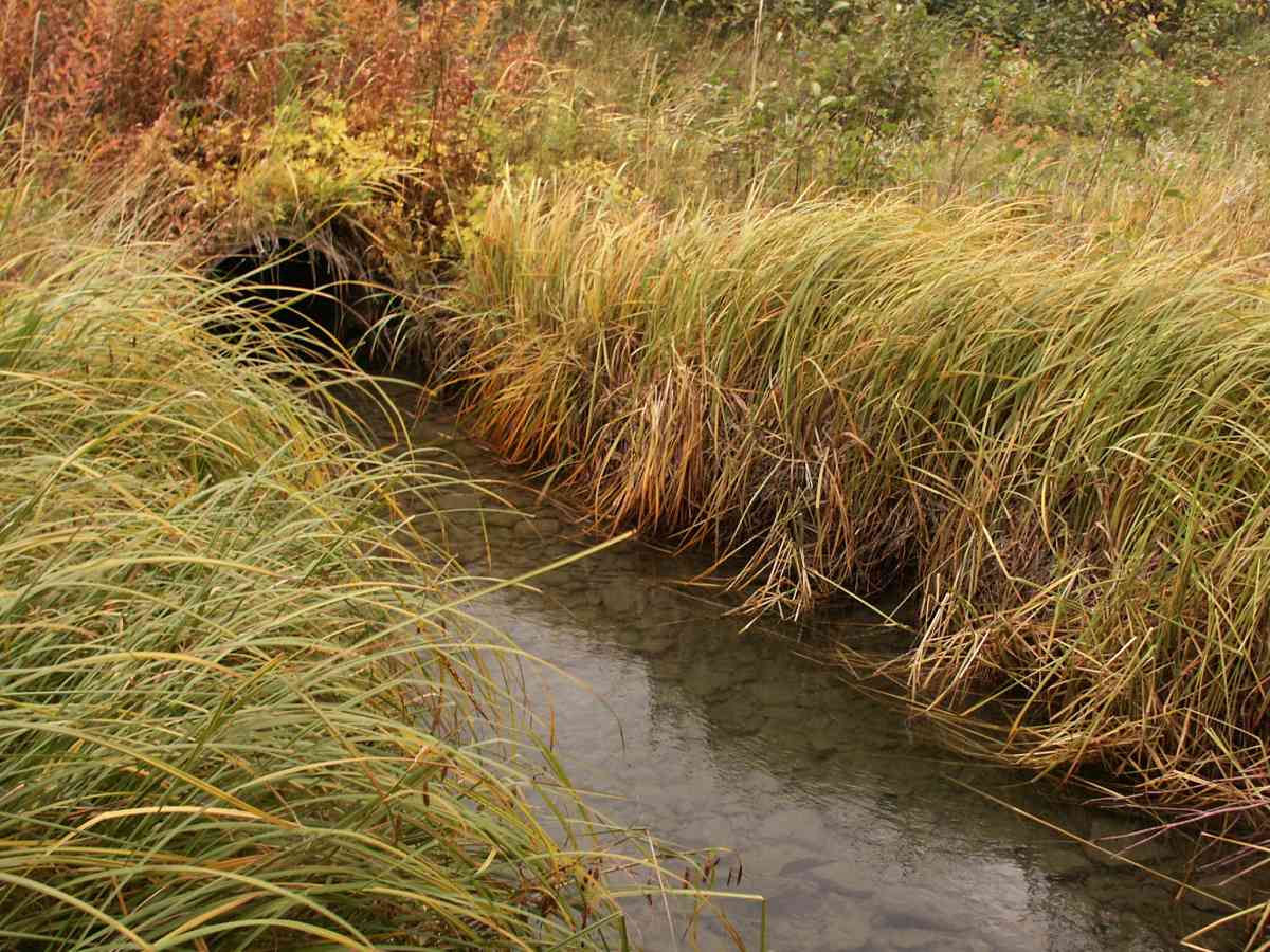
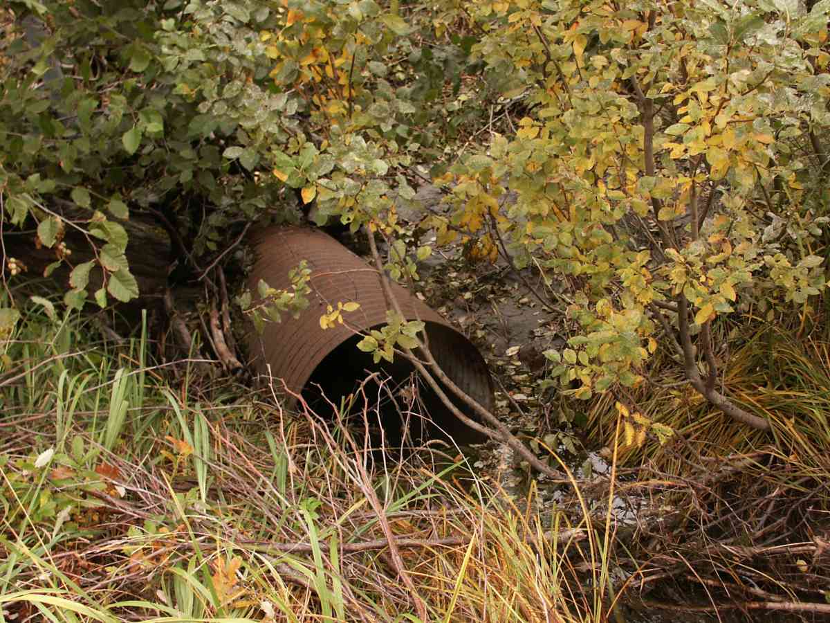
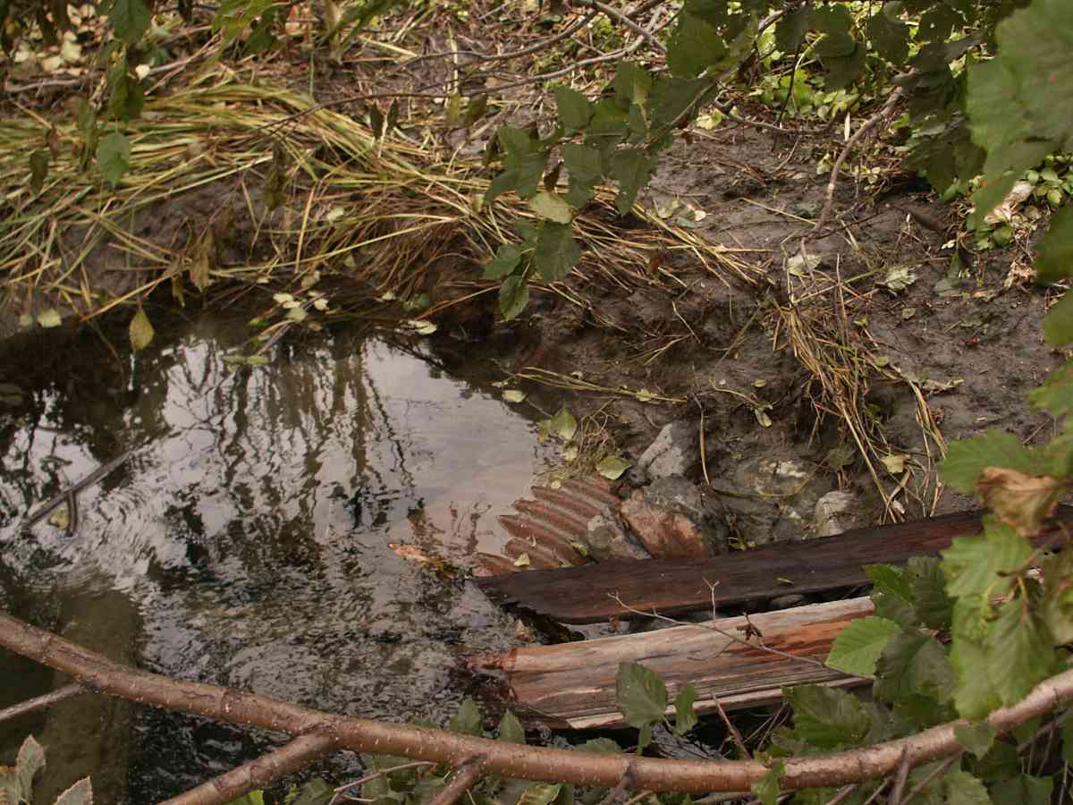
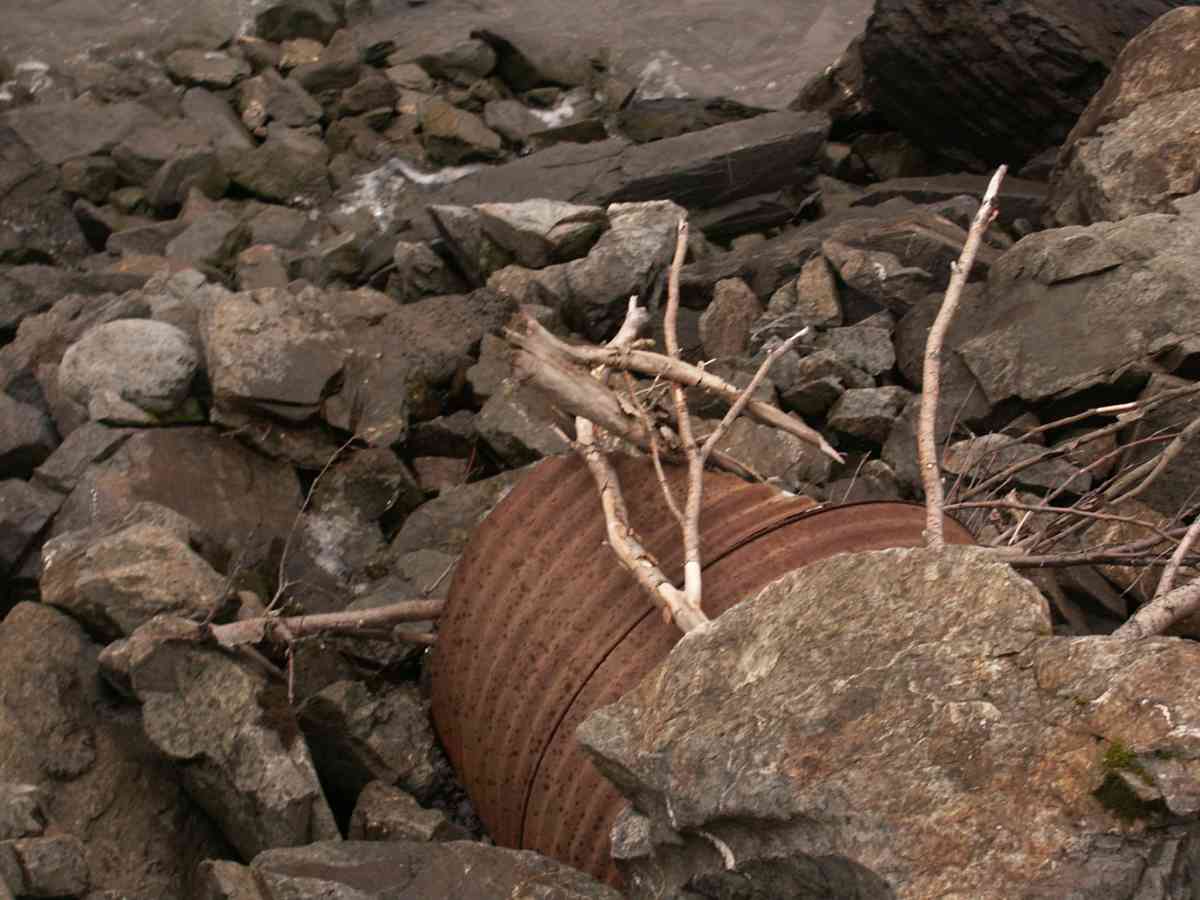
Site Comments: FOUR CULVERT GROUP, 2 UNDER RR TRACKS AND 2 UNDER SEWARD HWY. NO WATERSHED NAME. POND/MARSH ABOVE
arrow to the right of the survey date below to choose a different report for this site.
Survey CRB02-SH291
Observers: Dean Beers, James Laurence, James Laurence
Overall Fish Passage Rating:
Tidal: No
Backwatered: No
Step Pools:
Construction Year:
Comments: This suvery is a combination of 4 different sites. Those 4 sites have been separated out into their own surveys during the 2004 resurvey. The new sites are ANC04 4A226, 4A227, 4A228, and 4A229.
Culvert Measurements
| ID: 1 | Structure Type:N/A | Fish Passage Rating: | |||||||||||||||||||||||||||||||||||||||||
|
|
|
|||||||||||||||||||||||||||||||||||||||||
| ID: 2 | Structure Type:N/A | Fish Passage Rating: | |||||||||||||||||||||||||||||||||||||||||
|
|
|
|||||||||||||||||||||||||||||||||||||||||
Stream Measurements
|
|
| Stream Width Type | Distance From Crossing (ft) |
Stream Width (ft) |
|---|---|---|
| Upstream ordinary high water | 50.0 | 4.00 |
Elevations
| Locator ID | Culvert Number |
River Distance (ft)1 |
Distance From Crossing (ft)2 |
Relative Elevation (ft) |
|---|---|---|---|---|
| Outlet Thalweg | 1 | 0.00 | 0.0 | 85.49 |
| Outlet Thalweg | 2 | 0.00 | 0.0 | 86.17 |
| Outlet Invert | 2 | 0.00 | 0.0 | 86.26 |
| Outlet Invert | 1 | 0.00 | 0.0 | 88.29 |
| Inlet Culvert Invert | 1 | 86.00 | 0.0 | 88.20 |
| Inlet Culvert Invert | 2 | 86.00 | 0.0 | 86.22 |
| Inlet Thalweg | 2 | 86.00 | 0.0 | 86.22 |
| Inlet Thalweg | 1 | 86.00 | 0.0 | 86.02 |
Notes:
- River distance is measured continuously throughout the survey reach along the thalweg of the stream.
- Measured from each end of the crossing along the thalweg of the stream.
Fish Sampling Efforts
No fish sampling occurred during this survey.
Fish Observations
No fish observations occurred during this survey.
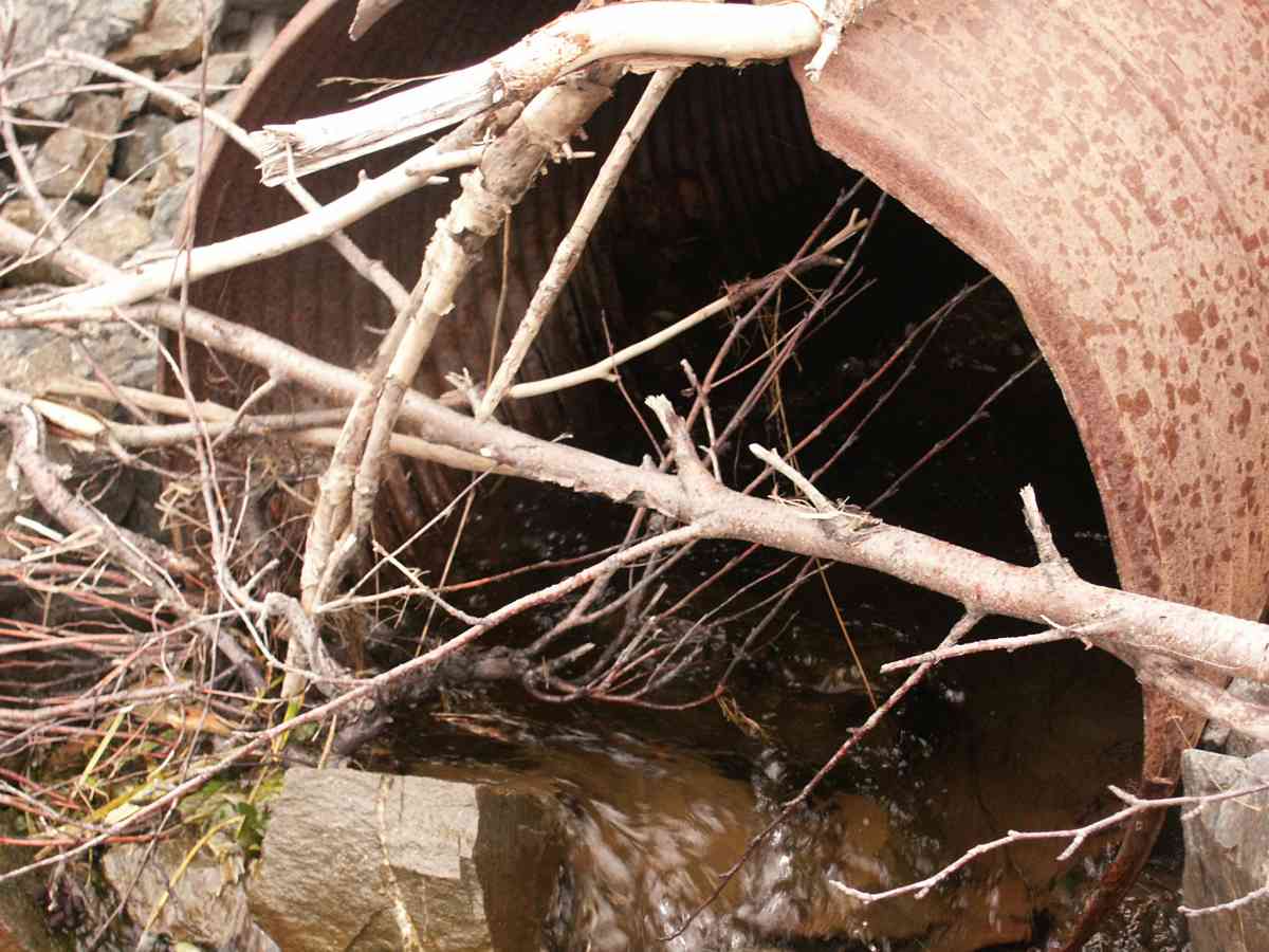
Photos


Questions or comments about this report can be directed to dfg.dsf.webmaster@alaska.gov