Fish Passage Site 20200696
Coordinates (dec. deg.): 61.07209°, -146.09903°
Legal Description: C009S005W22
Region: South Central
Road Name: Richardson Highway
Datum: NAD83
Quad Name / ITM: Valdez A-6
AWC Stream #:
Stream Name: Lowe River tributary
Elevation:
Site Comments: None
arrow to the right of the survey date below to choose a different report for this site.
Survey CRB02-RI164
Observers: Dean Beers, Scott Slemmons, Scott Slemmons
Overall Fish Passage Rating:
Tidal: No
Backwatered: No
Step Pools:
Construction Year:
Comments: None
Culvert Measurements
| ID: 1 | Structure Type:N/A | Fish Passage Rating: | |||||||||||||||||||||||||||||||||||||||||
|
|
|
|||||||||||||||||||||||||||||||||||||||||
| ID: 2 | Structure Type:N/A | Fish Passage Rating: | |||||||||||||||||||||||||||||||||||||||||
|
|
|
|||||||||||||||||||||||||||||||||||||||||
Stream Measurements
|
|
No stream width data available.
Elevations
| Locator ID | Culvert Number |
River Distance (ft)1 |
Distance From Crossing (ft)2 |
Relative Elevation (ft) |
|---|---|---|---|---|
| Inlet Thalweg | 2 | 0.0 | 87.35 | |
| Inlet Culvert Invert | 2 | 0.0 | 87.55 | |
| Outlet Invert | 1 | 0.0 | 89.49 | |
| Inlet Culvert Invert | 1 | 0.0 | 89.58 |
Notes:
- River distance is measured continuously throughout the survey reach along the thalweg of the stream.
- Measured from each end of the crossing along the thalweg of the stream.
Fish Sampling Efforts
No fish sampling occurred during this survey.
Fish Observations
No fish observations occurred during this survey.
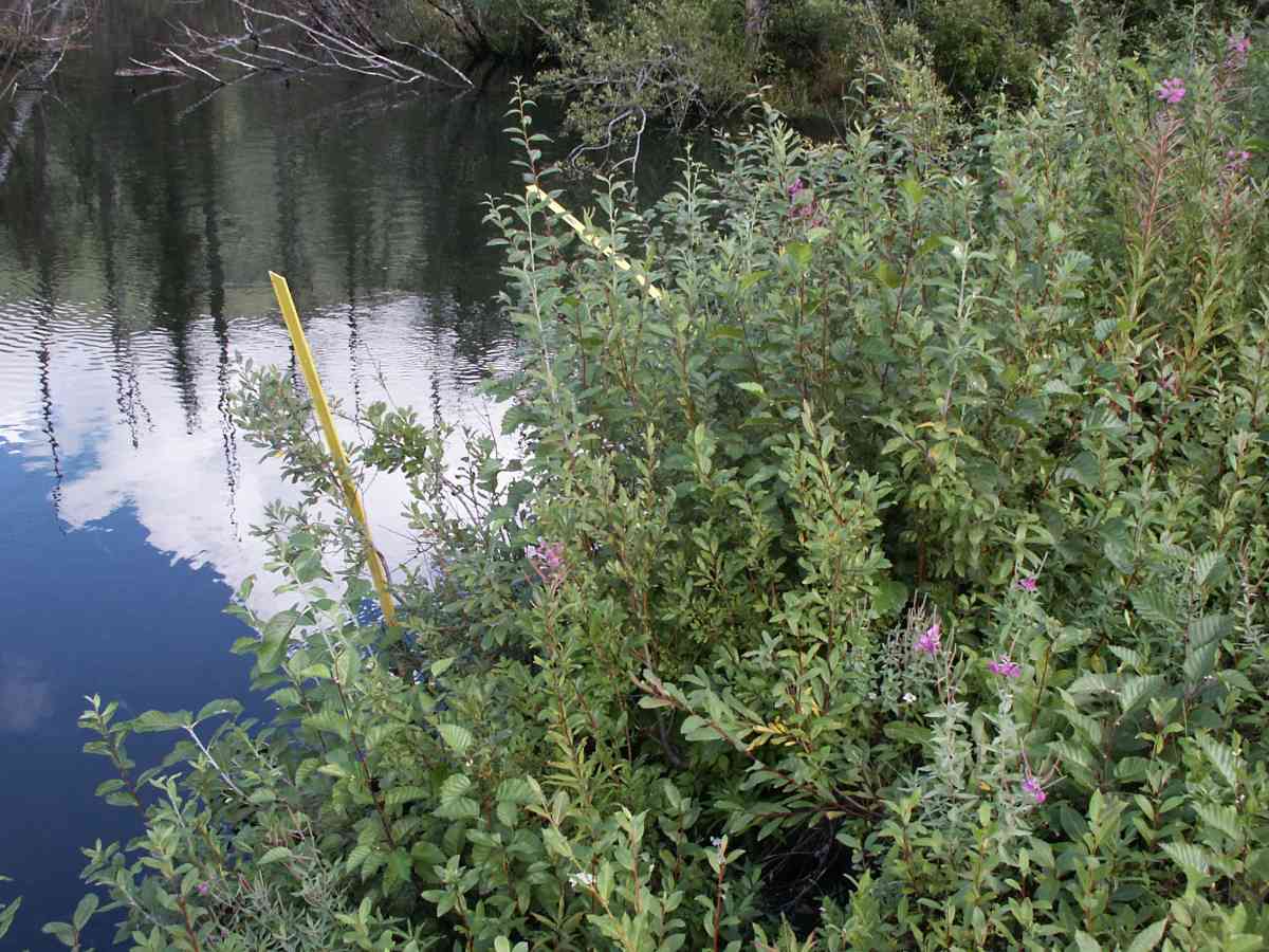
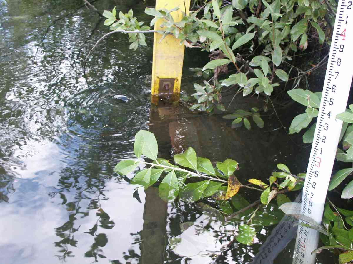
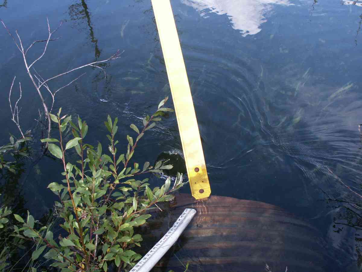
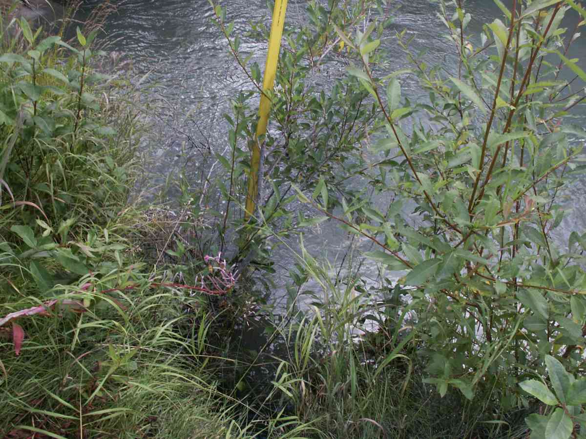
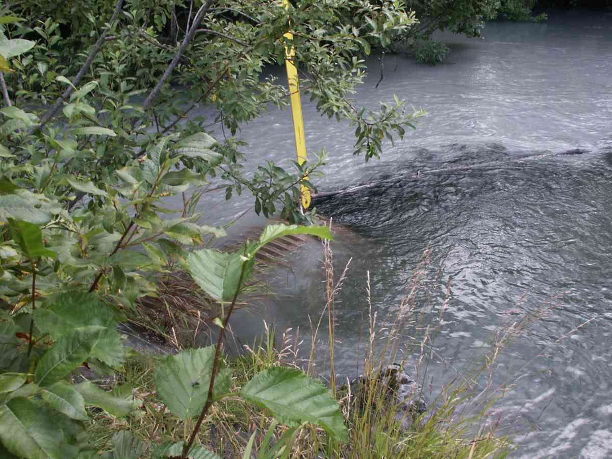
Photos
Questions or comments about this report can be directed to dfg.dsf.webmaster@alaska.gov