Fish Passage Site 20100553
Coordinates (dec. deg.): 60.53589°, -145.71769°
Legal Description: C015S003W26
Region: South Central
Road Name: Copper River Highway
Datum: NAD83
Quad Name / ITM: Cordova C-5
AWC Stream #:
Stream Name:
Elevation:
Site Comments: None
Survey CRB02-CR088
Observers: Dean Beers, Scott Slemmons, Scott Slemmons
Overall Fish Passage Rating:
Tidal: No
Backwatered: No
Step Pools:
Construction Year:
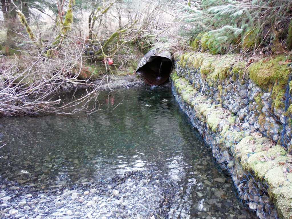
Comments: Additional photos provided by the Copper River Watershed Project from their 2014 site visit
Culvert Measurements
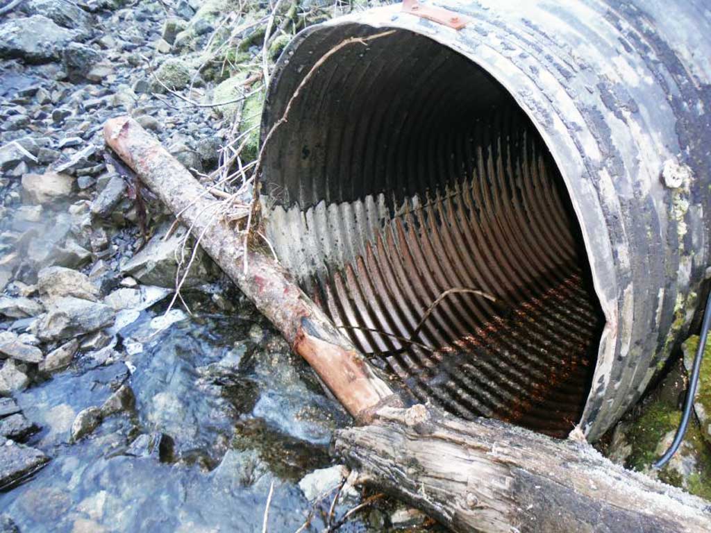
| ID: 1 | Structure Type: Circular pipe (Corrugated Metal) | Fish Passage Rating: | |||||||||||||||||||||||||||||||||||||||||
|
|
|
|||||||||||||||||||||||||||||||||||||||||
Stream Measurements
|
|
| Stream Width Type | Distance From Crossing (ft) |
Stream Width (ft) |
|---|---|---|
| Upstream ordinary high water | 50.0 | 6.00 |
Elevations
| Locator ID | Culvert Number |
River Distance (ft)1 |
Distance From Crossing (ft)2 |
Relative Elevation (ft) |
|---|---|---|---|---|
| Outlet Thalweg | 1 | 0.00 | 0.0 | 77.26 |
| Outlet Invert | 1 | 0.00 | 0.0 | 77.89 |
| Inlet Thalweg | 1 | 195.00 | 0.0 | 83.41 |
| Inlet Culvert Invert | 1 | 195.00 | 0.0 | 83.56 |
Notes:
- River distance is measured continuously throughout the survey reach along the thalweg of the stream.
- Measured from each end of the crossing along the thalweg of the stream.
Fish Sampling Efforts
No fish sampling occurred during this survey.
Fish Observations
No fish observations occurred during this survey.
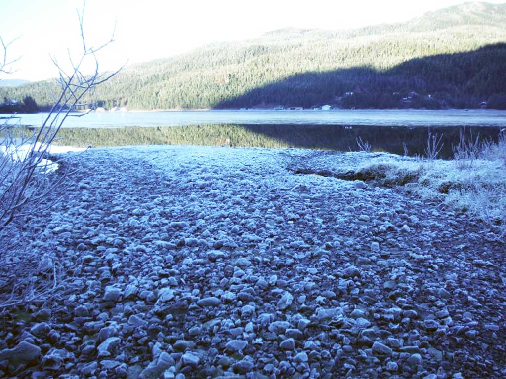
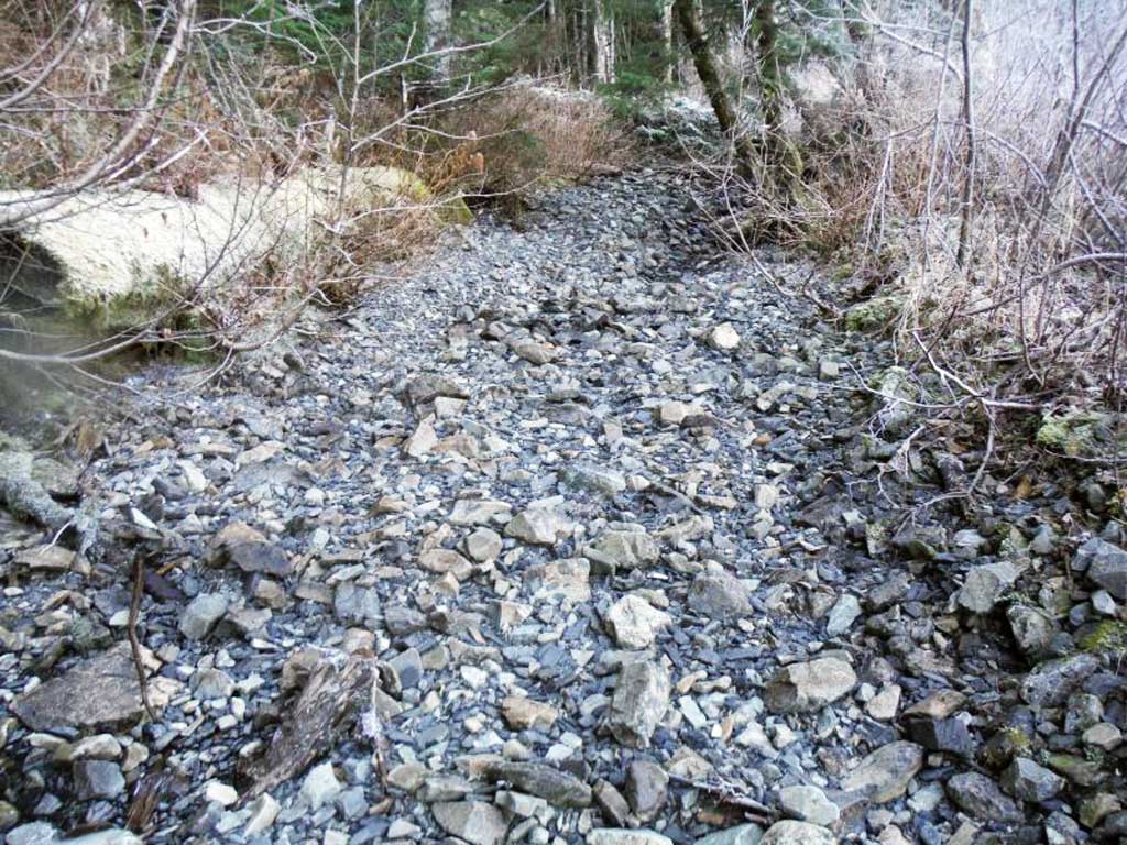
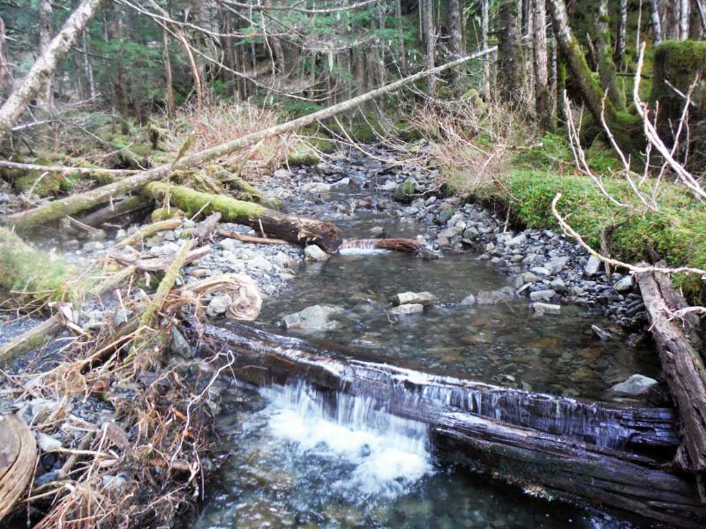
Photos


Questions or comments about this report can be directed to dfg.dsf.webmaster@alaska.gov