Fish Inventory Site FSNPR1616C06
Coordinates (dec. deg.): 68.82781°, -152.43047°
Legal Description: U007S002W20
Region: Arctic
Datum: WGS84
Quad Name / ITM: Chandler Lake D-5
AWC Stream #:
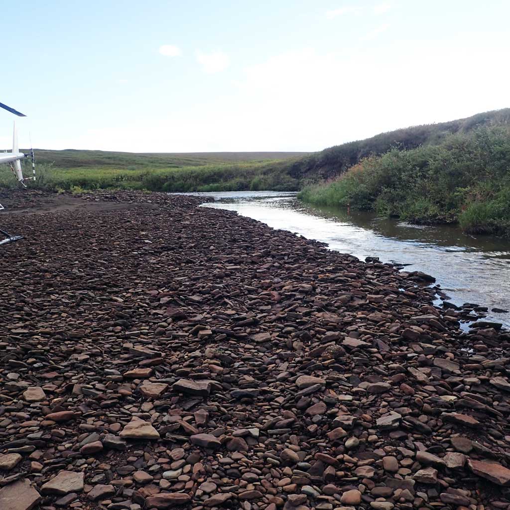
Stream Name: Wolverine Creek
Elevation:
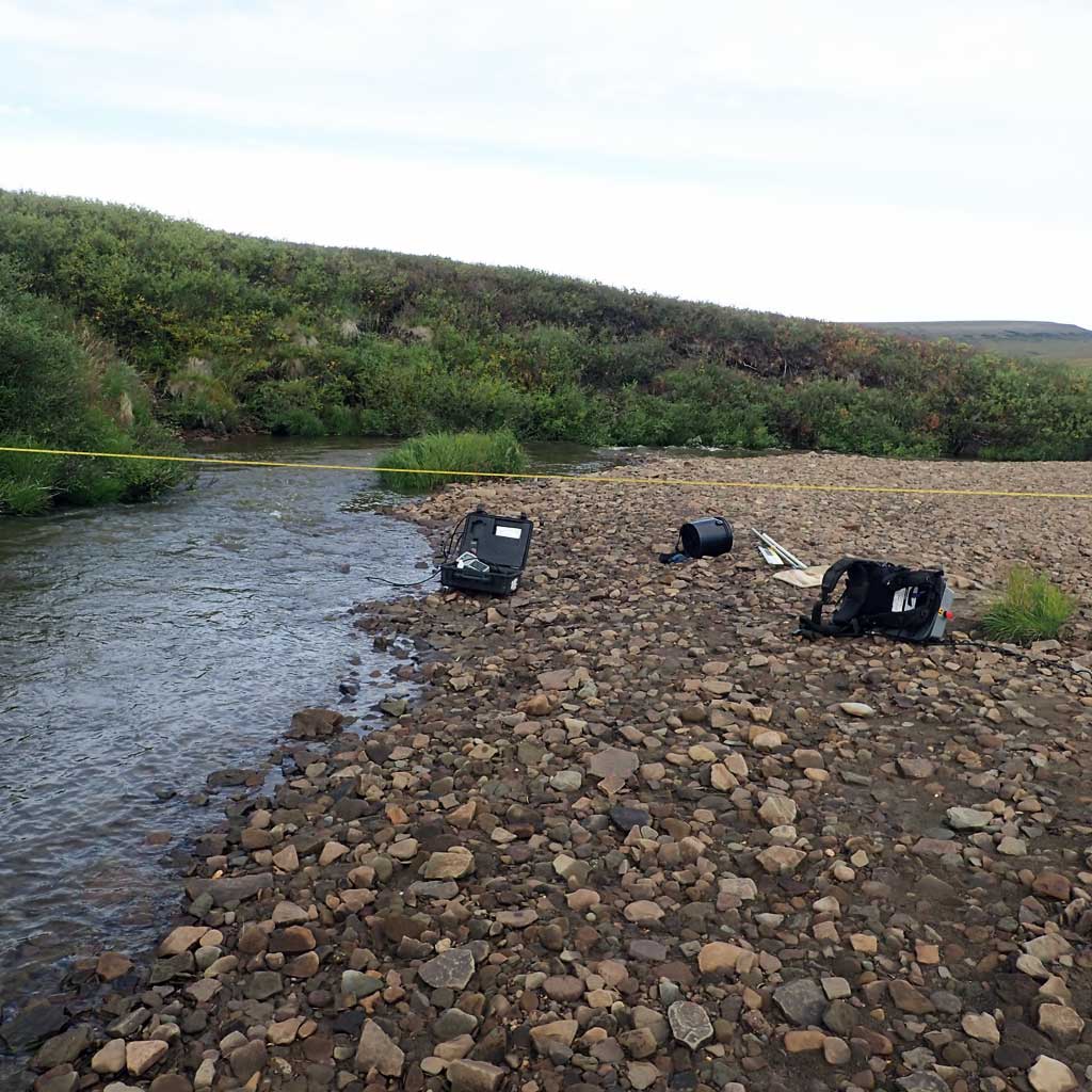
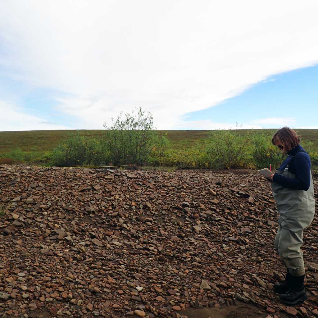
Site Comments: H163
Survey FSNPR16-16C06
Observers: Raye Ann Neustel, Marla Carter
Station Characteristics
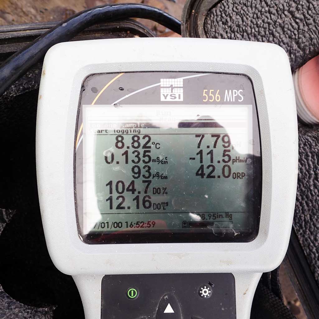
| Water Temperature: 8.83° C DO: 9.14 ppm | Conductivity: 94.0 μS/cm | Stream Stage: Medium | |||||||||
| Water Color: Muddy | Turbidity: | Stream Gradient: 2.5% | |||||||||
| Qualitative Velocity: | 48 hr. Precipitation/Runoff: | ||||||||||
| Substrates: Gravel, Cobble, Sand | |||||||||||
Channel Dimensions:
|
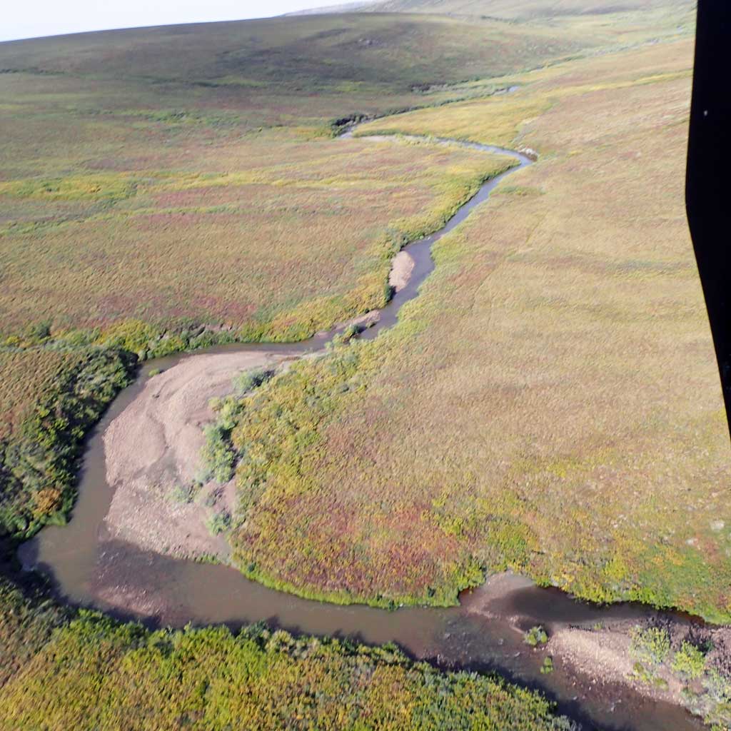
Rosgen Channel Classification: (C4) Low gradient, meandering, point-bar, riffle/pool, alluvial channels with broad, well-defined floodplains. | ||||||||||
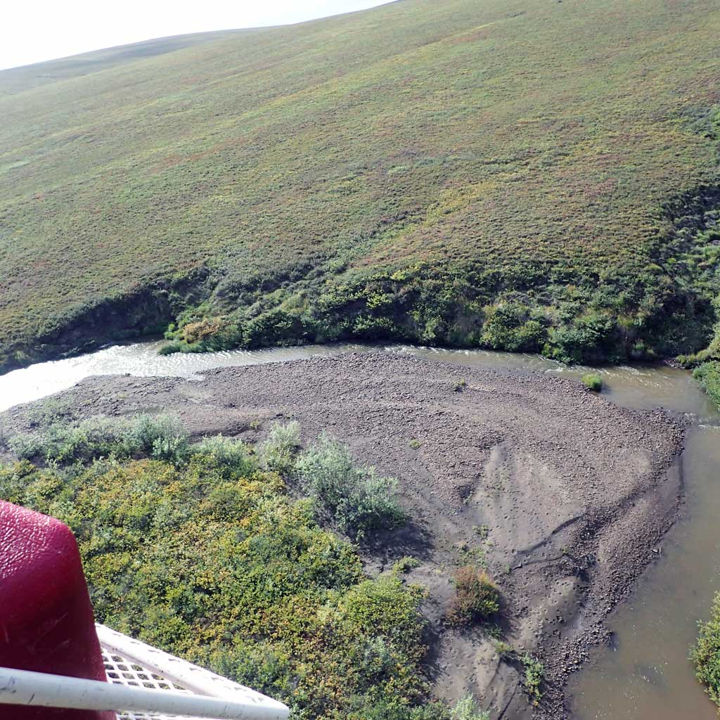
| Visit Comments: Total channel width is 32.4, dry charnel in middle of stream profile drawn in M. Carter notebook. | |||||||||||
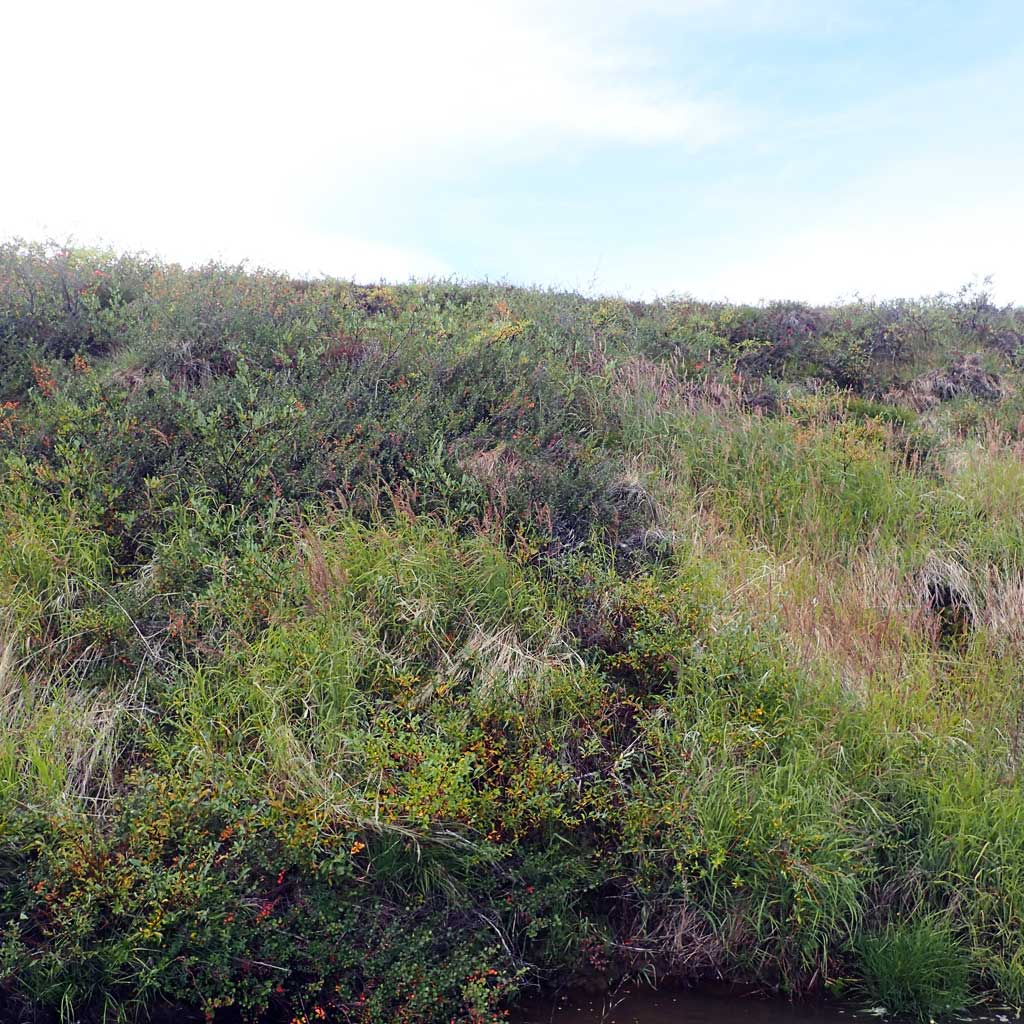
Vegetation Classification
| Left Bank | Right Bank | ||
|---|---|---|---|
| Distance From OHW(m) |
0-5 | Closed Tall Scrub | Unvegetated |
| 5-10 | Tussock Tundra | Closed Tall Scrub | |
| 10-20 | Tussock Tundra | Tussock Tundra | |
| 20-30 | Tussock Tundra | Tussock Tundra | |
Fish Sampling Effort
| Gear Type: Smith-Root LR-24 (A) | ||
| Channel Type: Main Channel (>50% of water flow) | ||
| Gear Type: Minnow Trap (B) | ||
| Channel Type: Main Channel (>50% of water flow) | ||
| Gear Type: Visual Observation, Ground (C) | ||
| Channel Type: Main Channel (>50% of water flow) | ||
Fish Observations
No fish were collected at this site.
Photos
Questions or comments about this report can be directed to dfg.dsf.webmaster@alaska.gov