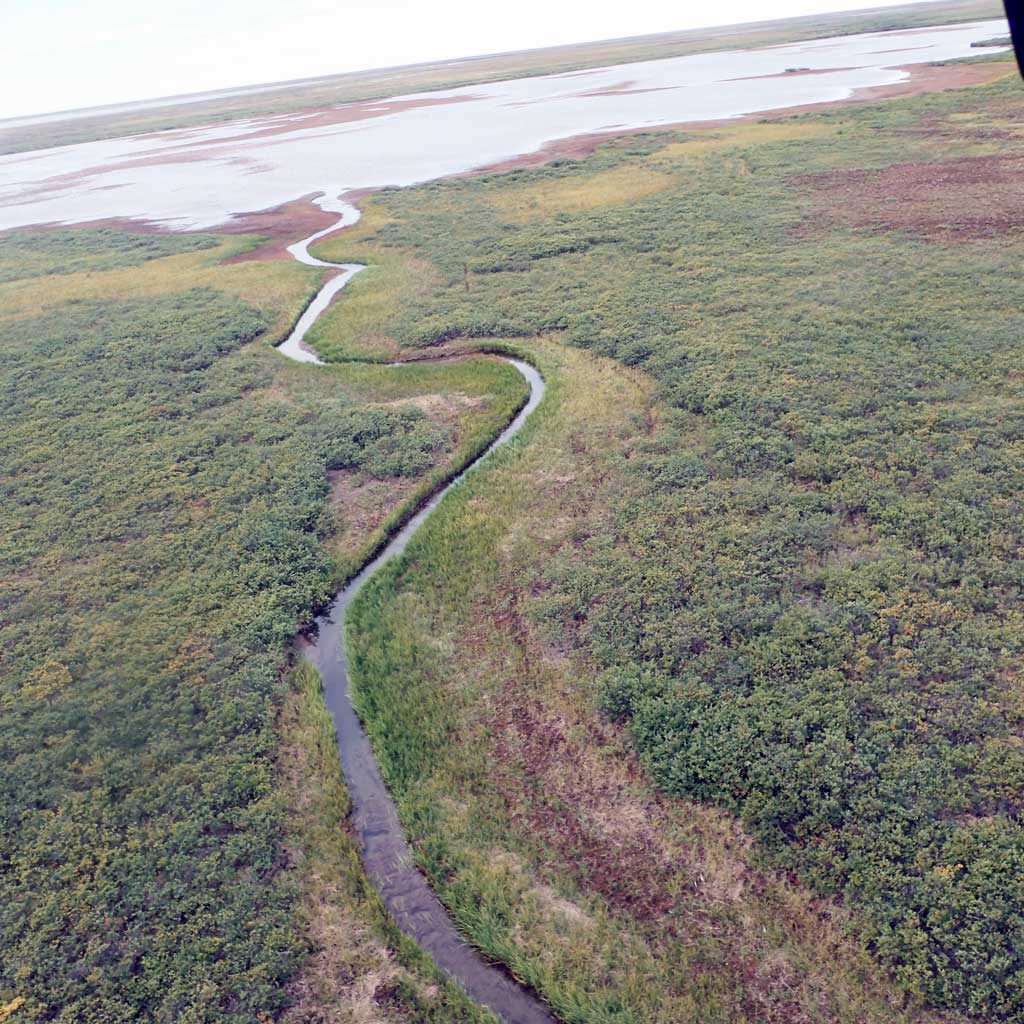
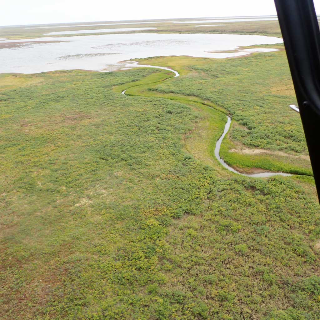
Fish Inventory Site FSNPR1613C05
Coordinates (dec. deg.): 69.83194°, -153.58253°
Legal Description: U006N008W08
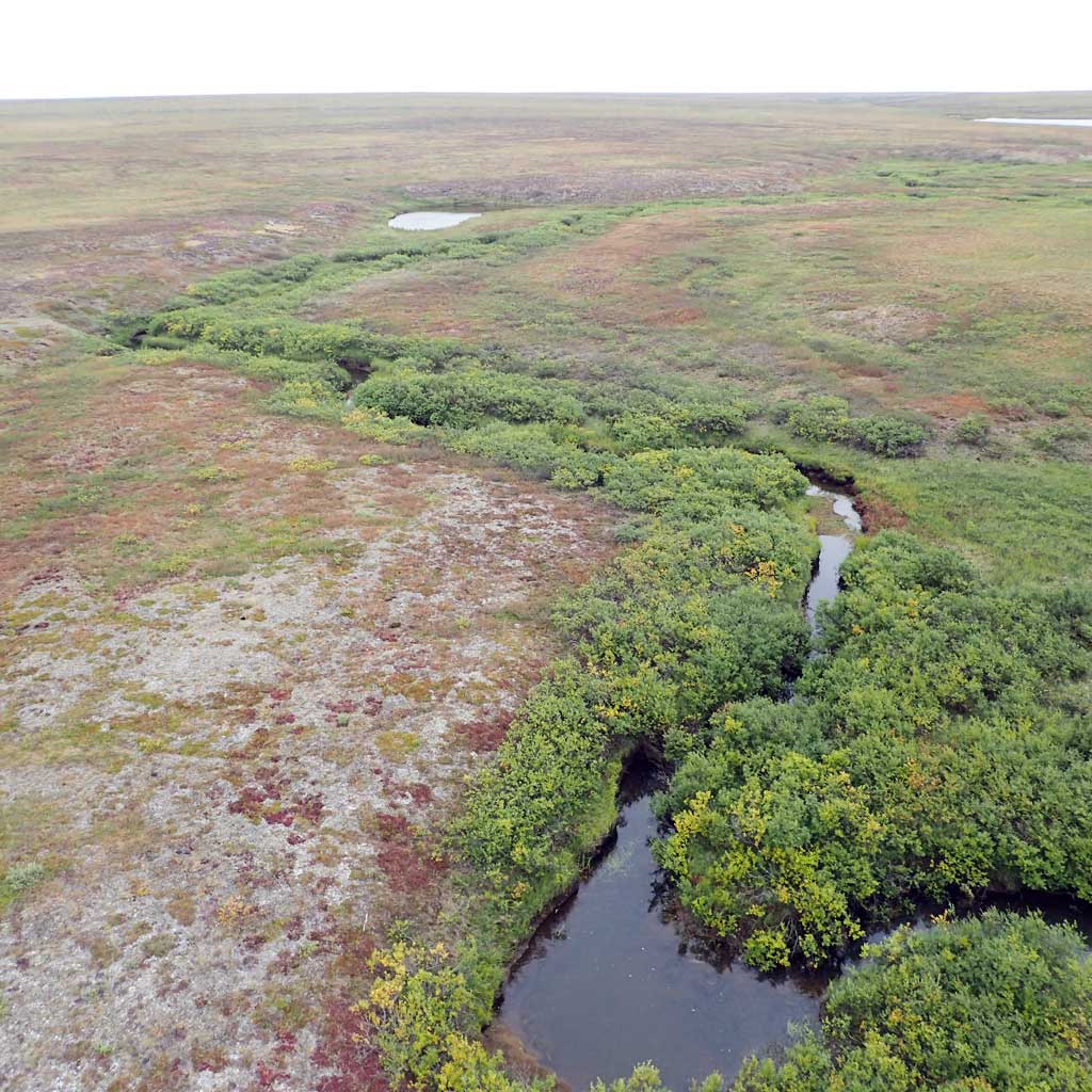
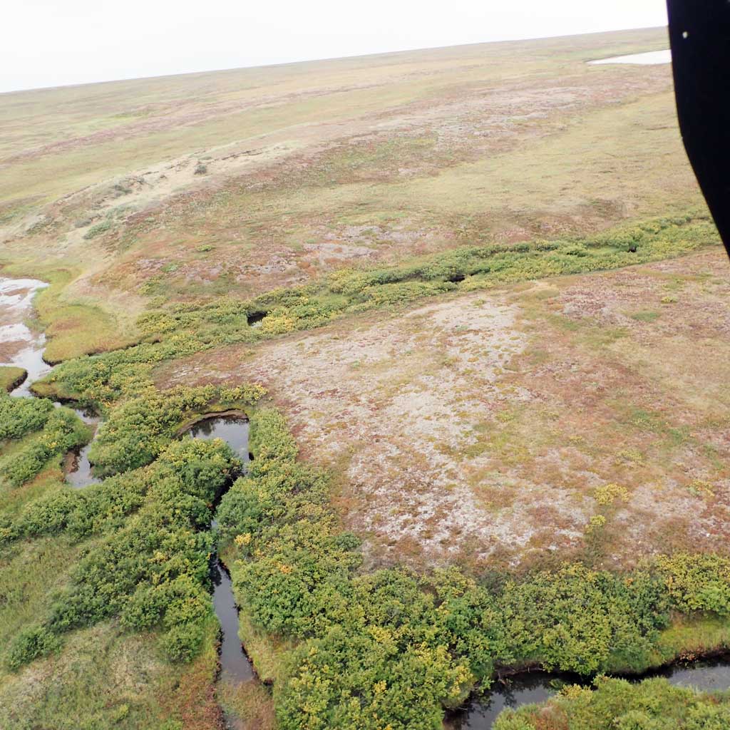
Region: Arctic
Datum: WGS84
Quad Name / ITM: Ikpikpuk River D-2
AWC Stream #:
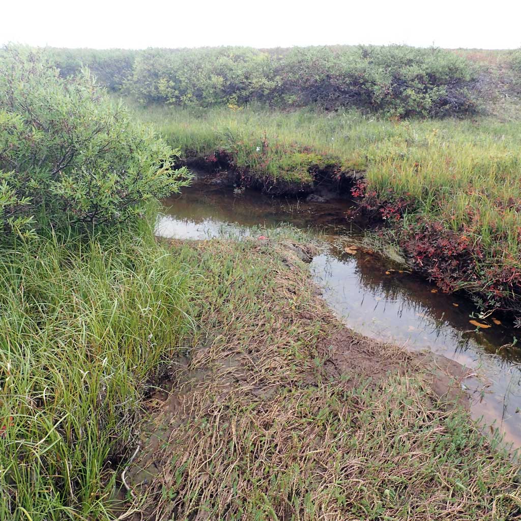
Stream Name: Unnamed stream
Elevation:
Site Comments: H47
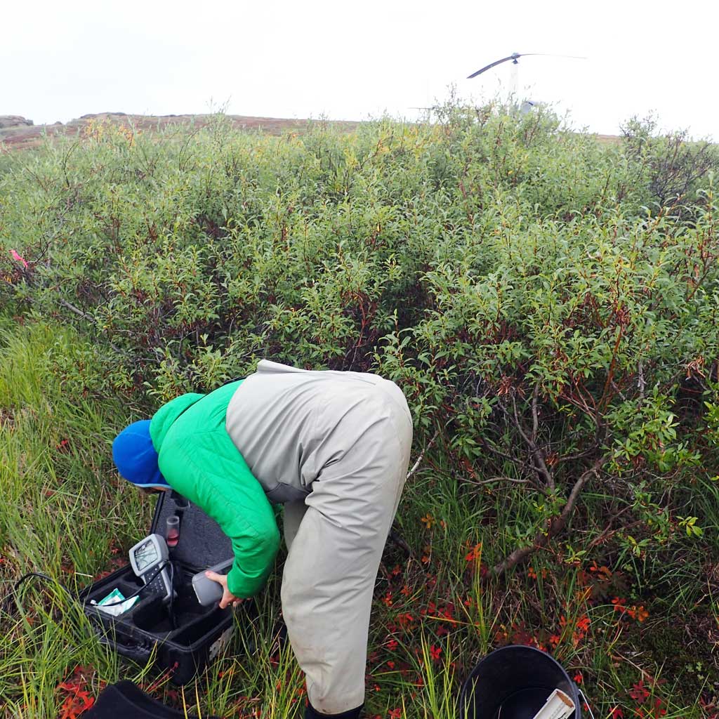
Survey FSNPR16-13C05
Observers: Raye Ann Neustel, Marla Carter
Station Characteristics
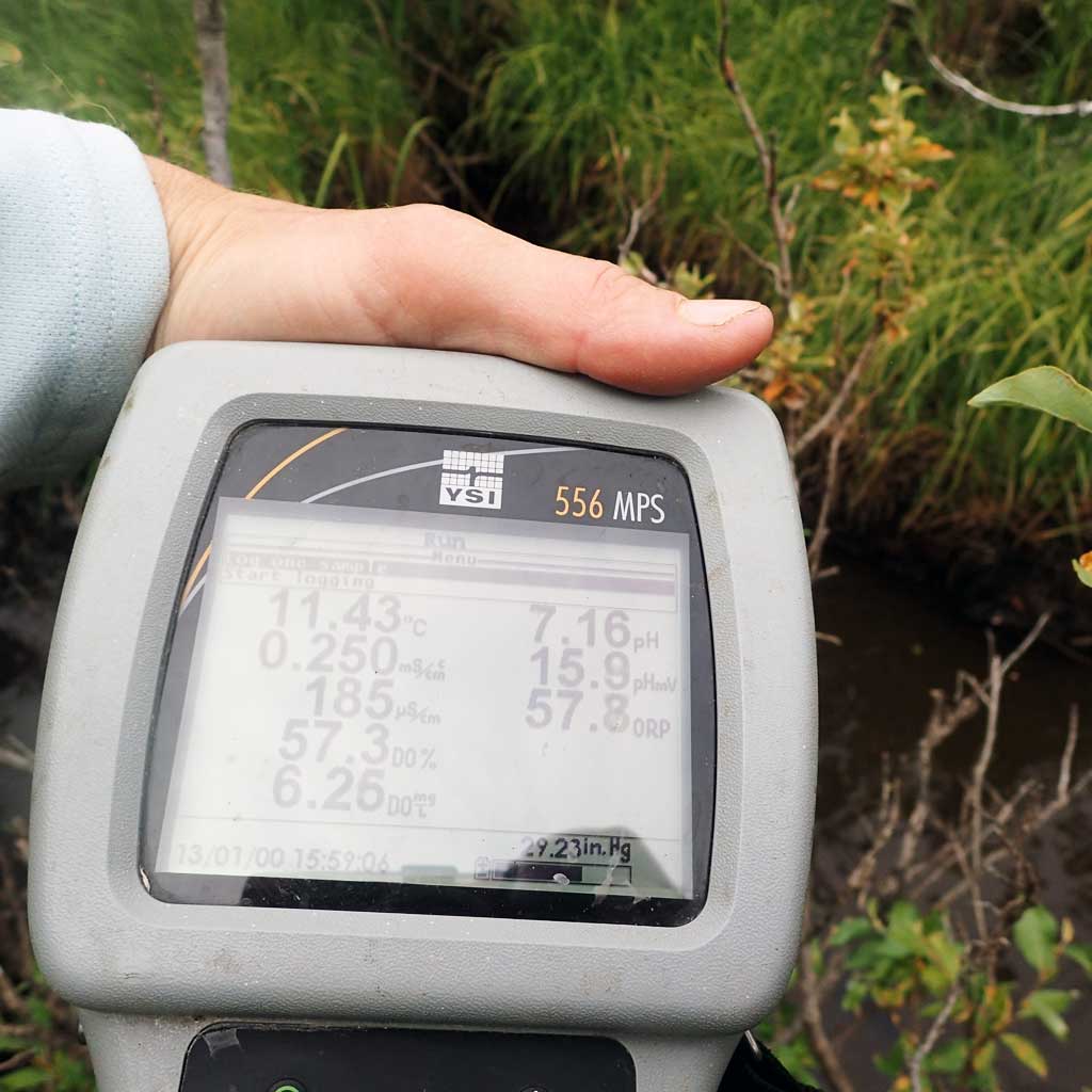
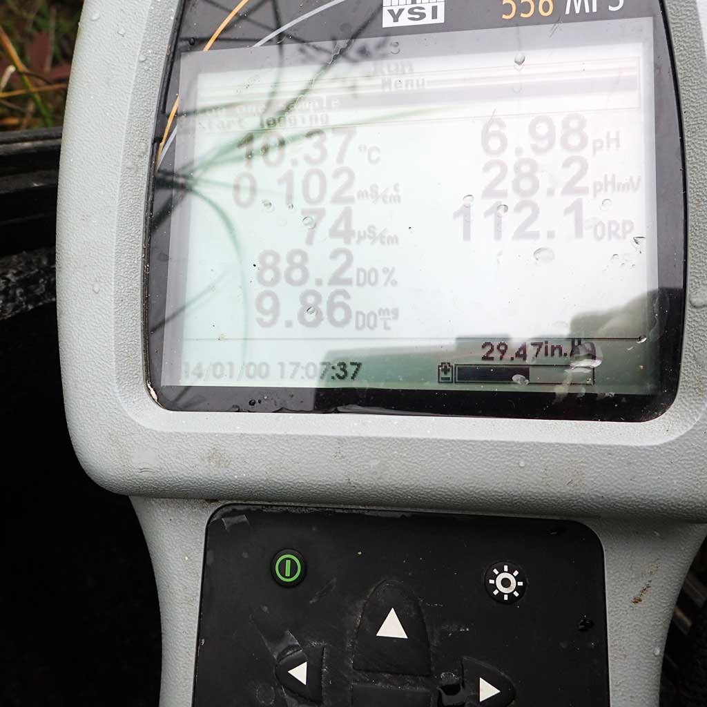
| Water Temperature: 10.41° C DO: 10.14 ppm | Conductivity: 74.0 μS/cm | Stream Stage: Low | |||||||||
| Water Color: Muddy | Turbidity: 7.8 NTU / pH: 6.95 | Stream Gradient: 0.5% | |||||||||
| Qualitative Velocity: | 48 hr. Precipitation/Runoff: None | ||||||||||
| Substrates: Sand, Organic | |||||||||||
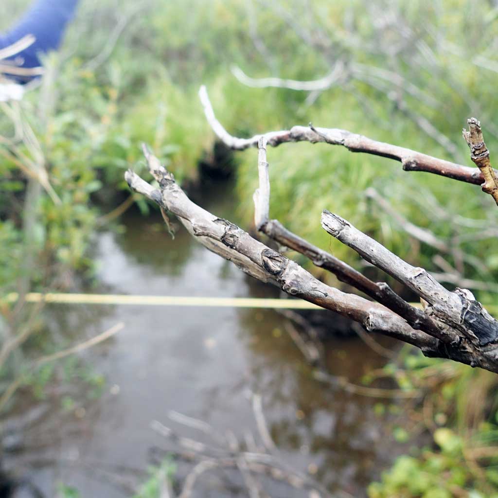
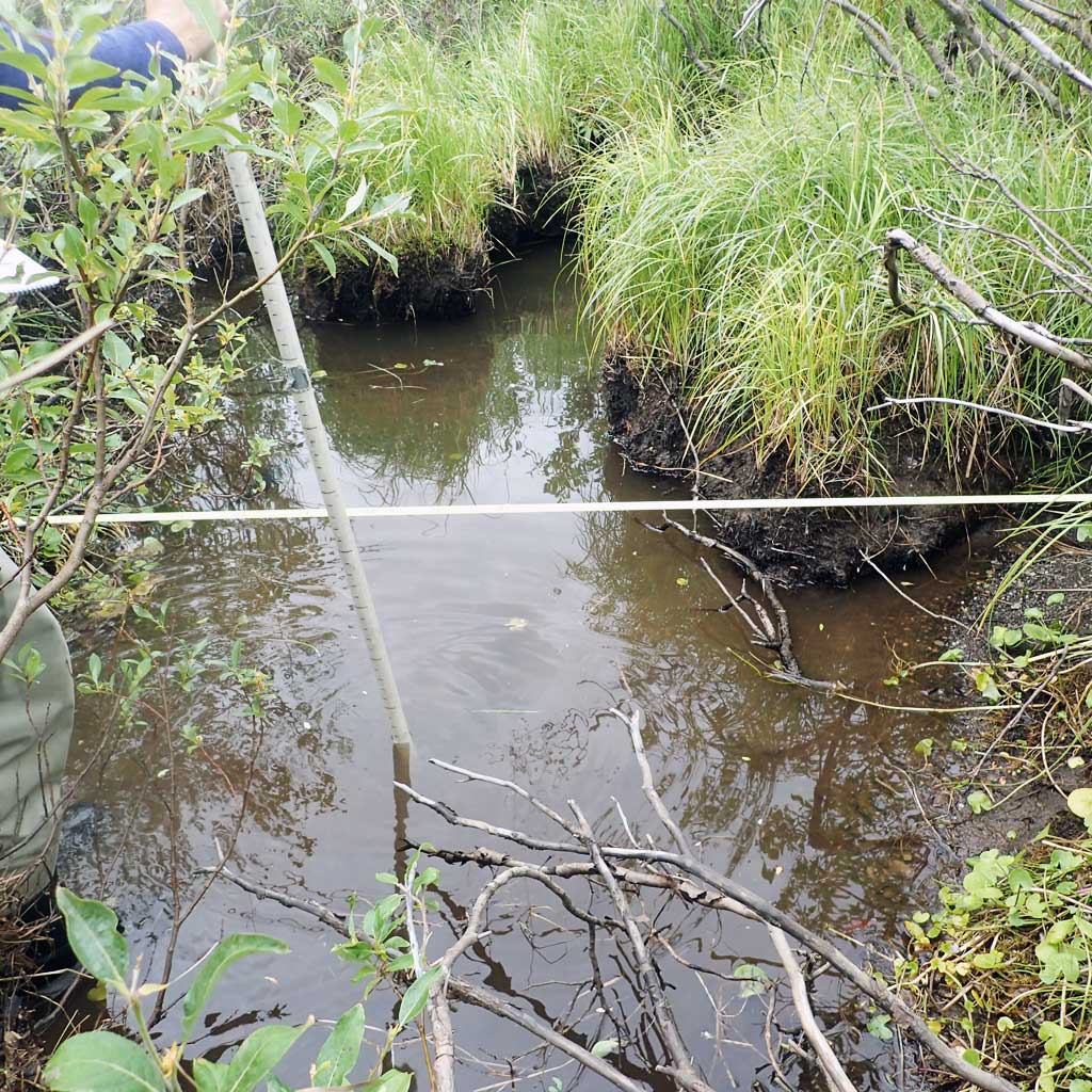
Channel Dimensions:
|
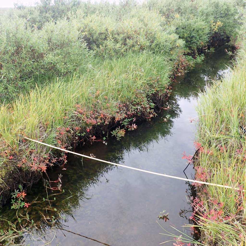
Rosgen Channel Classification: (E5) Low gradient, meandering riffle/pool stream with low width/depth ratio and little deposition. Very efficient and stable. High meander width ratio. | ||||||||||
| Visit Comments: None | |||||||||||
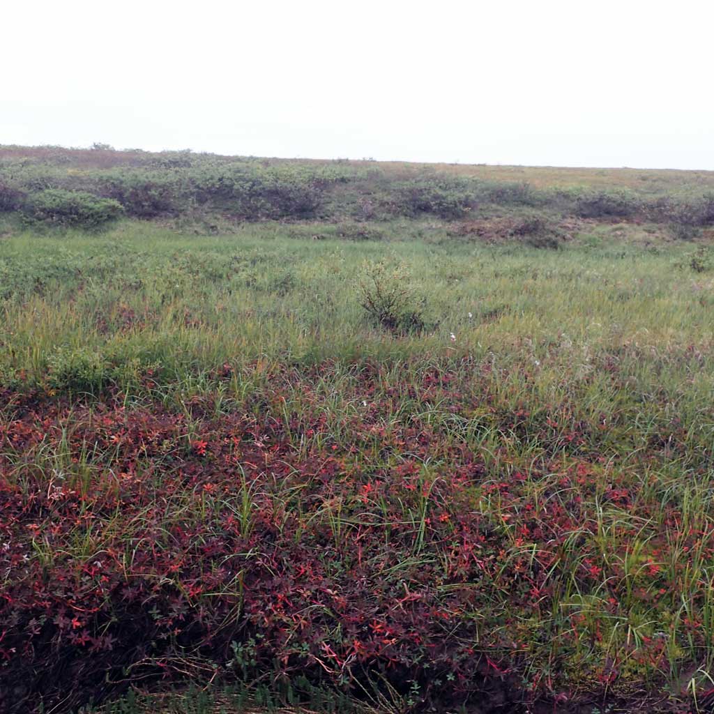
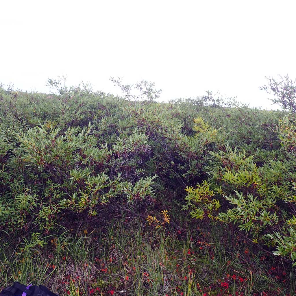
Vegetation Classification
| Left Bank | Right Bank | ||
|---|---|---|---|
| Distance From OHW(m) |
0-5 | Mesic Grass-Herb Meadow Tundra | Mesic Sedge-Herb Meadow Tundra |
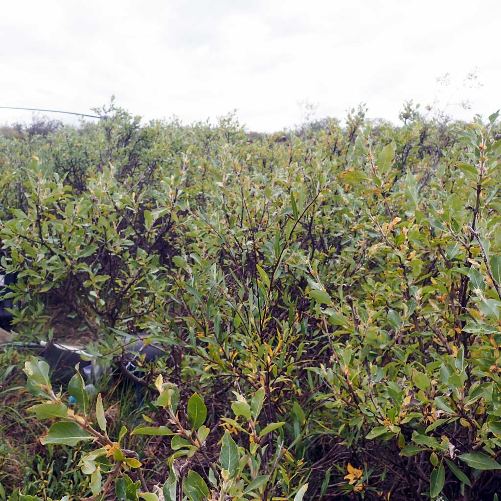
| 5-10 | Mesic Grass-Herb Meadow Tundra | Closed Low Willow Shrub | |
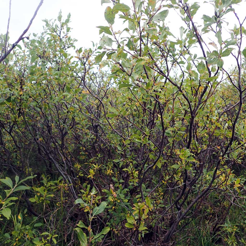
| 10-20 | Closed Low Willow Shrub | Closed Low Willow Shrub | |
| 20-30 | Tussock Tundra | Tussock Tundra | |
Fish Sampling Effort
| Gear Type: Smith-Root LR-24 (A) | ||
| Channel Type: Main Channel (>50% of water flow) | ||
| Gear Type: Minnow Trap (B) | ||
| Channel Type: Main Channel (>50% of water flow) | ||
| Gear Type: Visual Observation, Ground (C) | ||
| Channel Type: Main Channel (>50% of water flow) | ||
Fish Observations
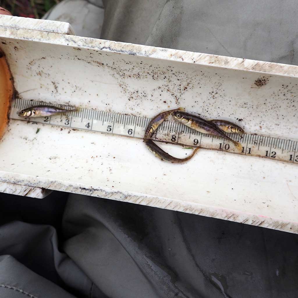
| Species: juvenile ninespine stickleback | Life History: Resident | ||
| Total Fish Observed: 5 | Fish Measured: 5 | Passage Barrier: | |
| Fork Lengths (mm) Min: 23 Max: 35 Mean: 29 | |||
| Collected/Observed by Gear Type: Smith-Root LR-24 (5) | |||
Photos
Questions or comments about this report can be directed to dfg.dsf.webmaster@alaska.gov