Fish Inventory Site FSNPR1611C01
Coordinates (dec. deg.): 69.67680°, -157.11527°
Legal Description: U004N021W29
Region: Arctic
Datum: WGS84
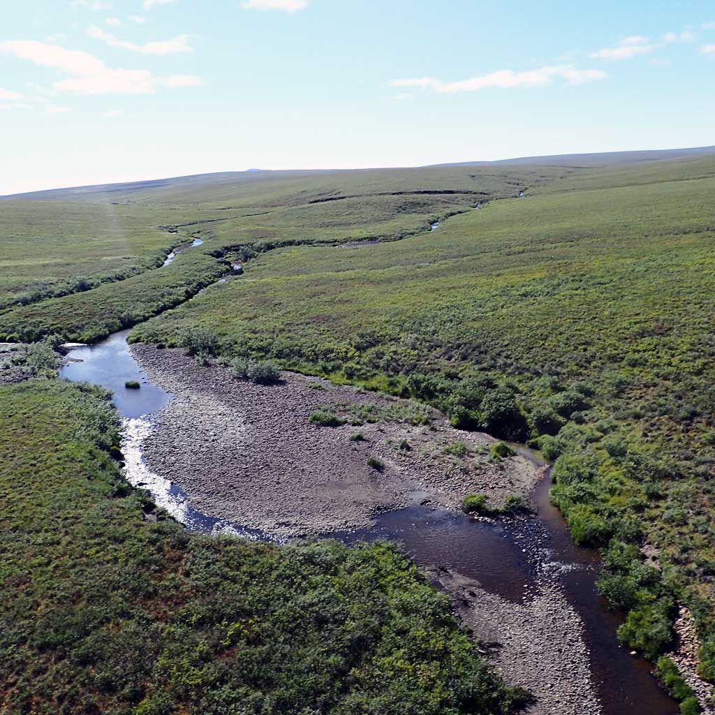
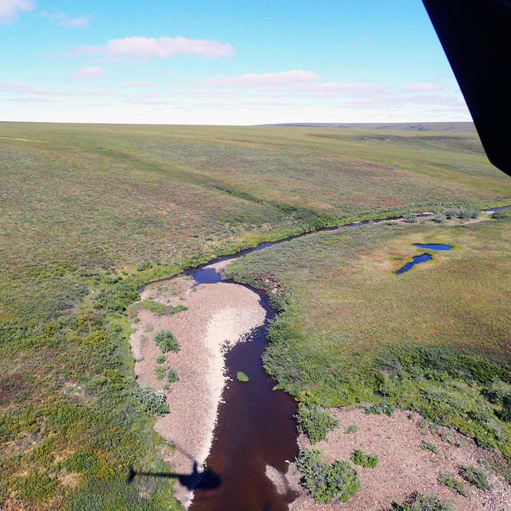
Quad Name / ITM: Lookout Ridge C-2
AWC Stream #:
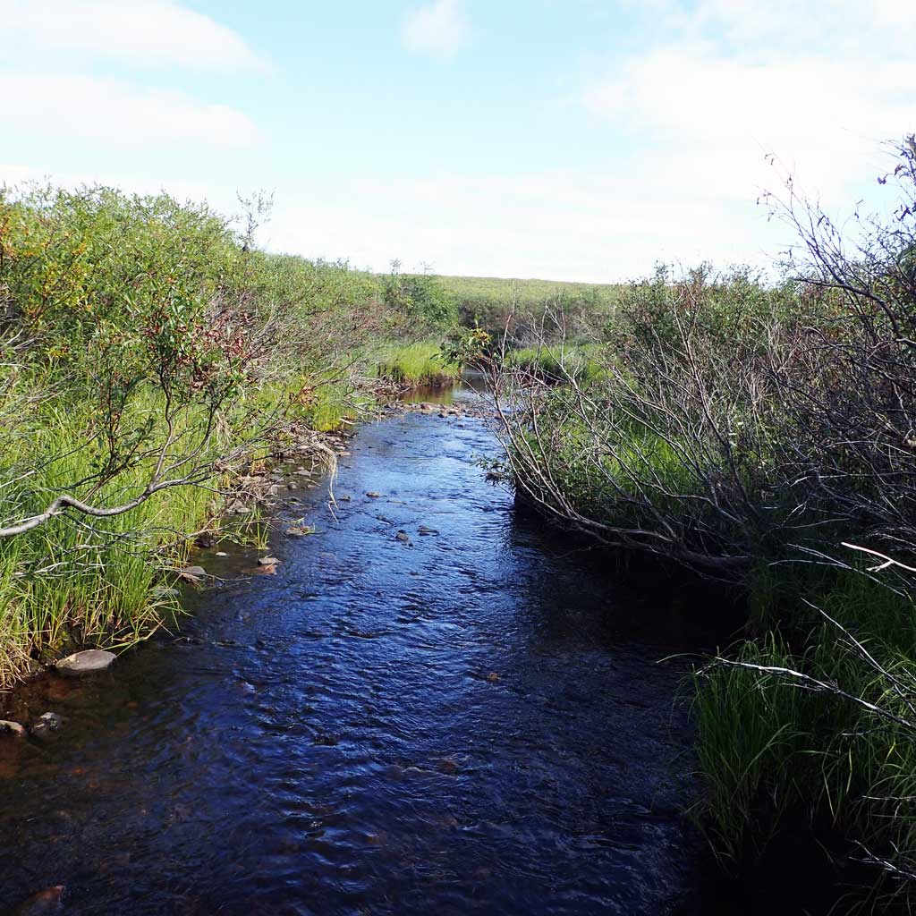
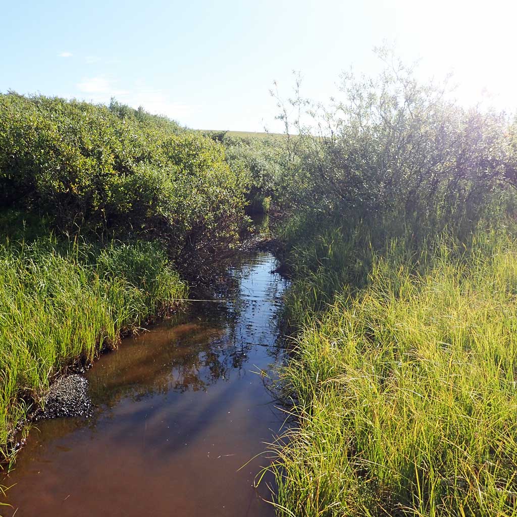
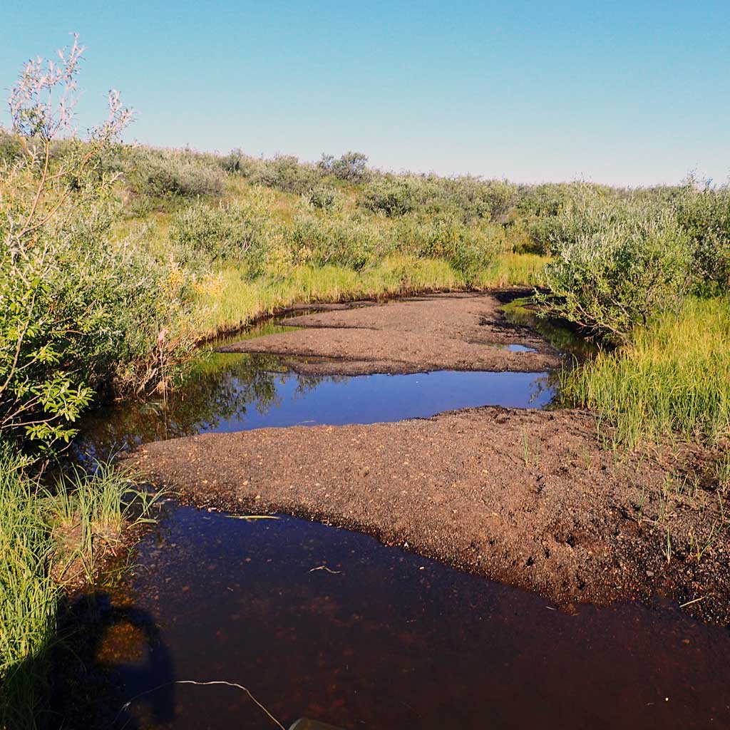
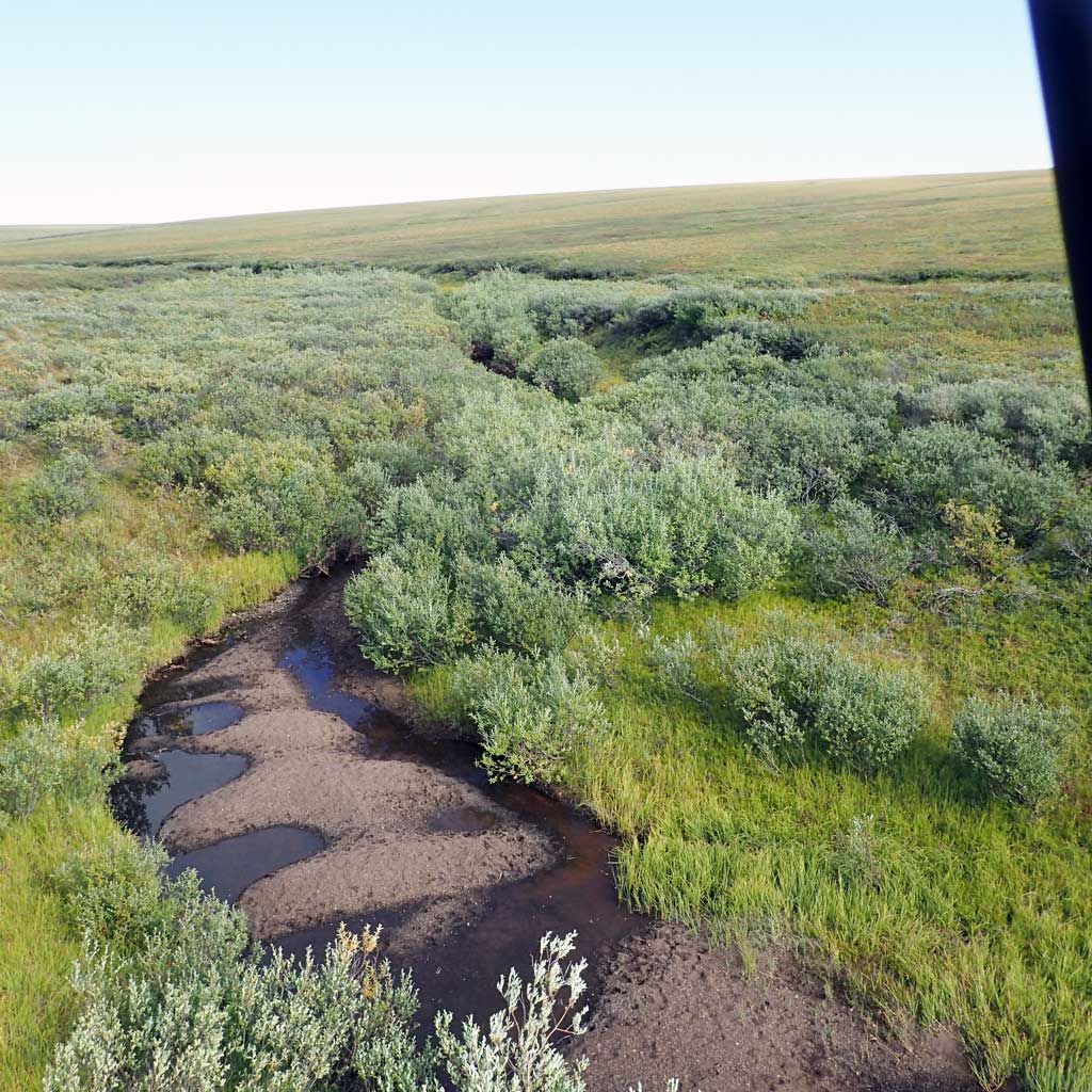
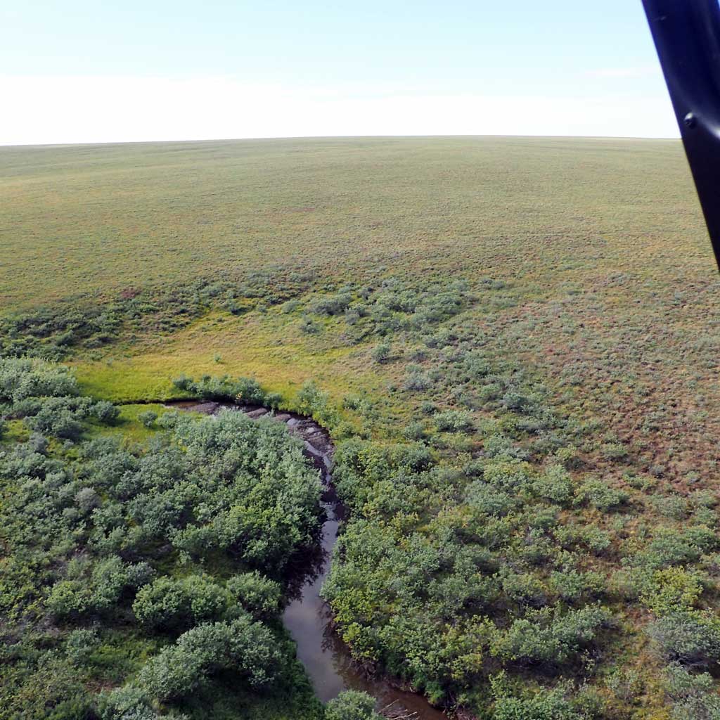
Stream Name: Unnamed stream
Elevation:
Site Comments: H127 Tributary of the Meade River
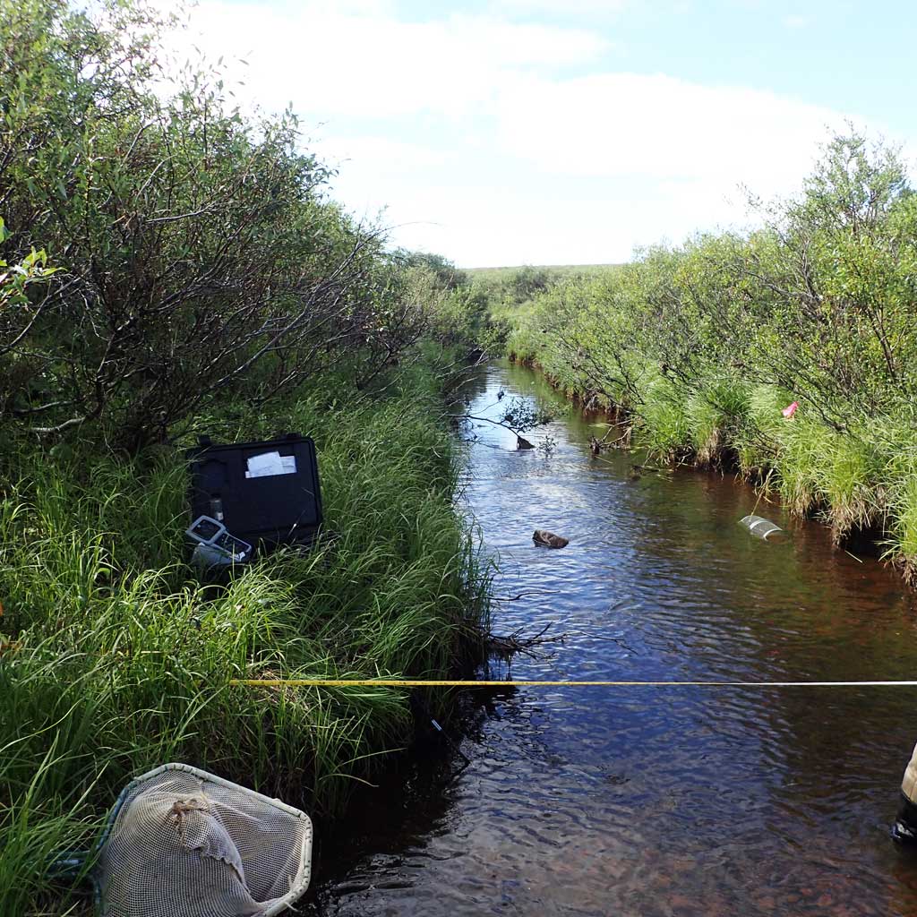
Survey FSNPR16-11C01
Observers: Raye Ann Neustel, Marla Carter
Station Characteristics
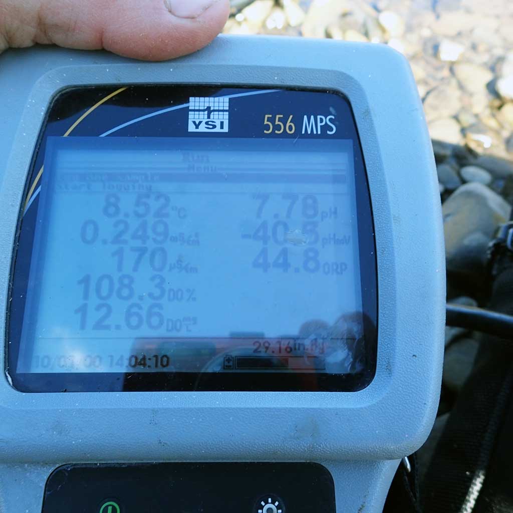
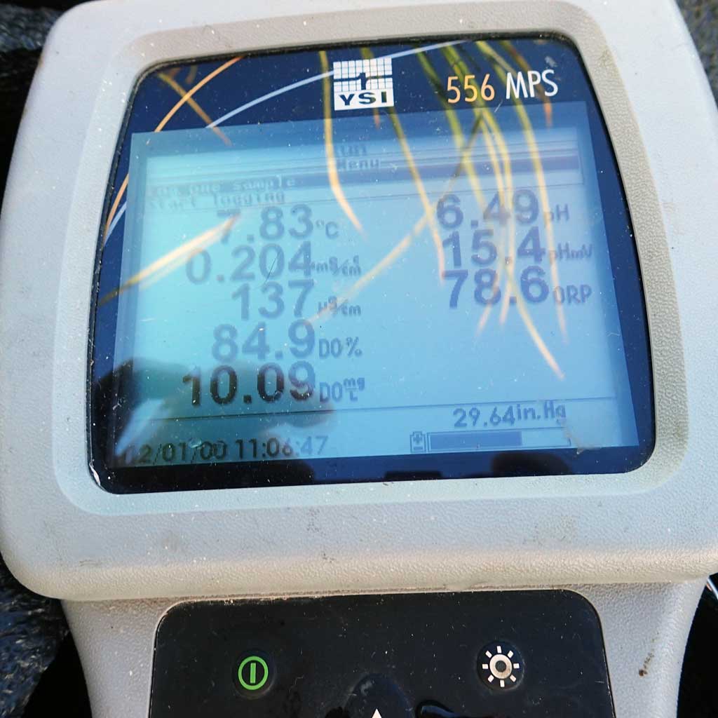
| Water Temperature: 7.93° C DO: 9.61 ppm | Conductivity: 138.0 μS/cm | Stream Stage: Medium | |||||||||
| Water Color: Humic | Turbidity: 7.62 NTU / pH: 6.62 | Stream Gradient: 0.5% | |||||||||
| Qualitative Velocity: | 48 hr. Precipitation/Runoff: None | ||||||||||
| Substrates: Gravel, Organic | |||||||||||
Channel Dimensions:
|
Rosgen Channel Classification: (C4) Low gradient, meandering, point-bar, riffle/pool, alluvial channels with broad, well-defined floodplains. | ||||||||||
| Visit Comments: None | |||||||||||
Vegetation Classification
| Left Bank | Right Bank | ||
|---|---|---|---|
| Distance From OHW(m) |
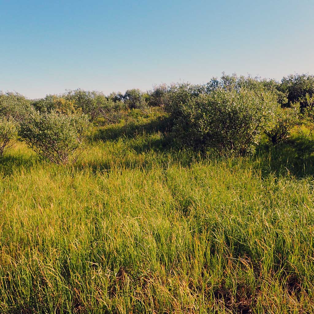
0-5 | Mesic Sedge-Herb Meadow Tundra | Mesic Sedge-Herb Meadow Tundra |
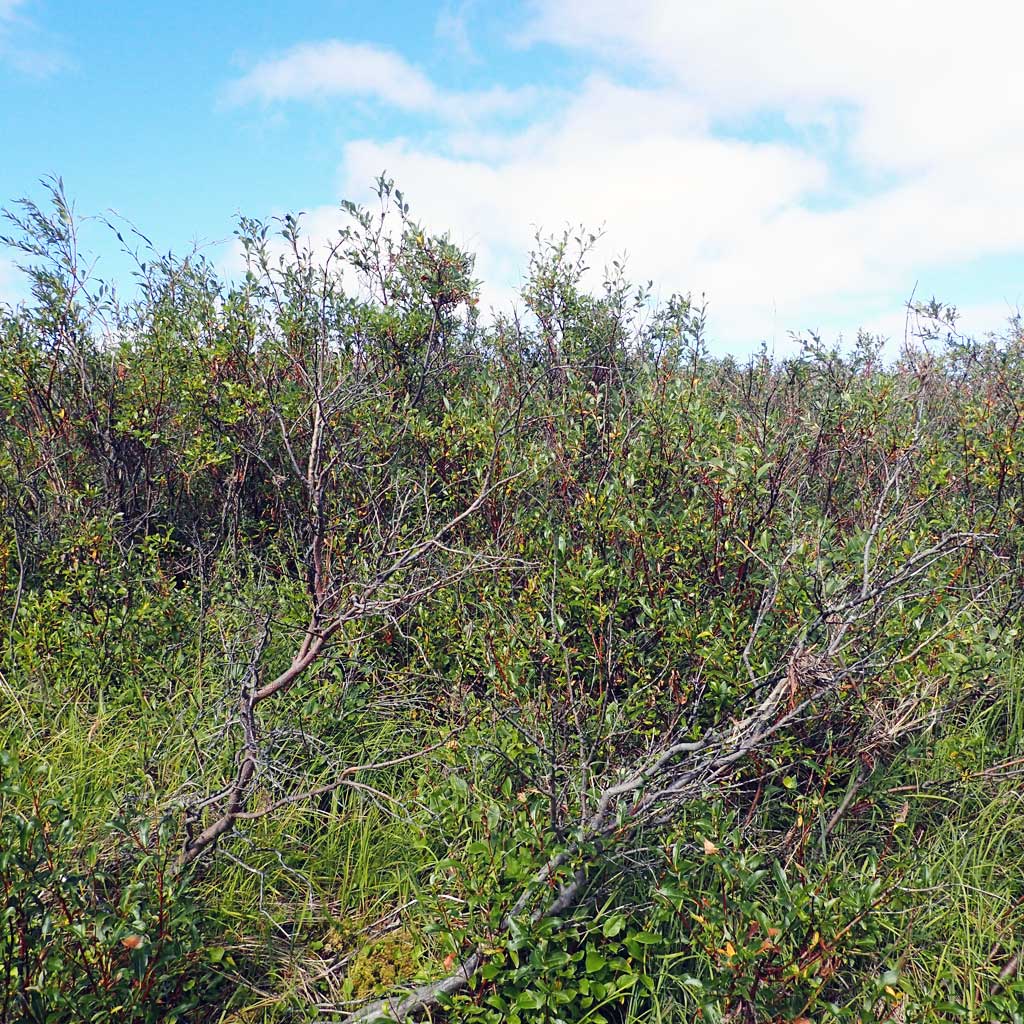
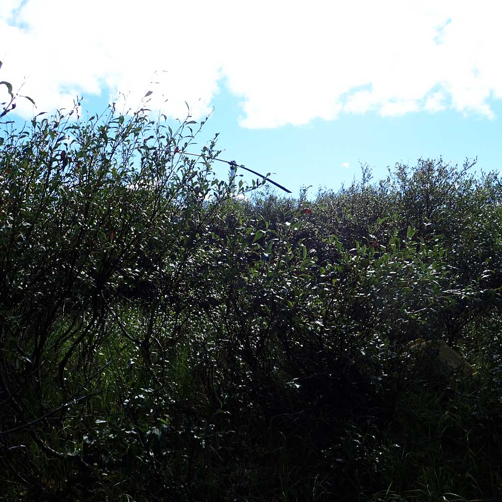
| 5-10 | Closed Tall Willow Shrub | Closed Tall Willow Shrub | |
| 10-20 | Closed Tall Willow Shrub | Closed Tall Willow Shrub | |
| 20-30 | Tussock Tundra | Tussock Tundra | |
Fish Sampling Effort
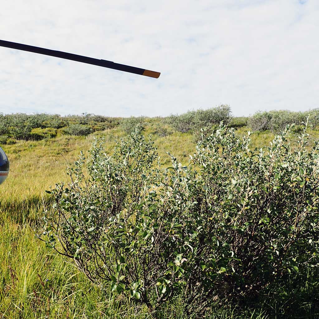
| Gear Type: Smith-Root LR-24 (A) | ||
| Channel Type: Main Channel (>50% of water flow) | ||
| Gear Type: Minnow Trap (B) | ||
| Channel Type: Main Channel (>50% of water flow) | ||
| Gear Type: Visual Observation, Ground (C) | ||
| Channel Type: Main Channel (>50% of water flow) | ||
Fish Observations
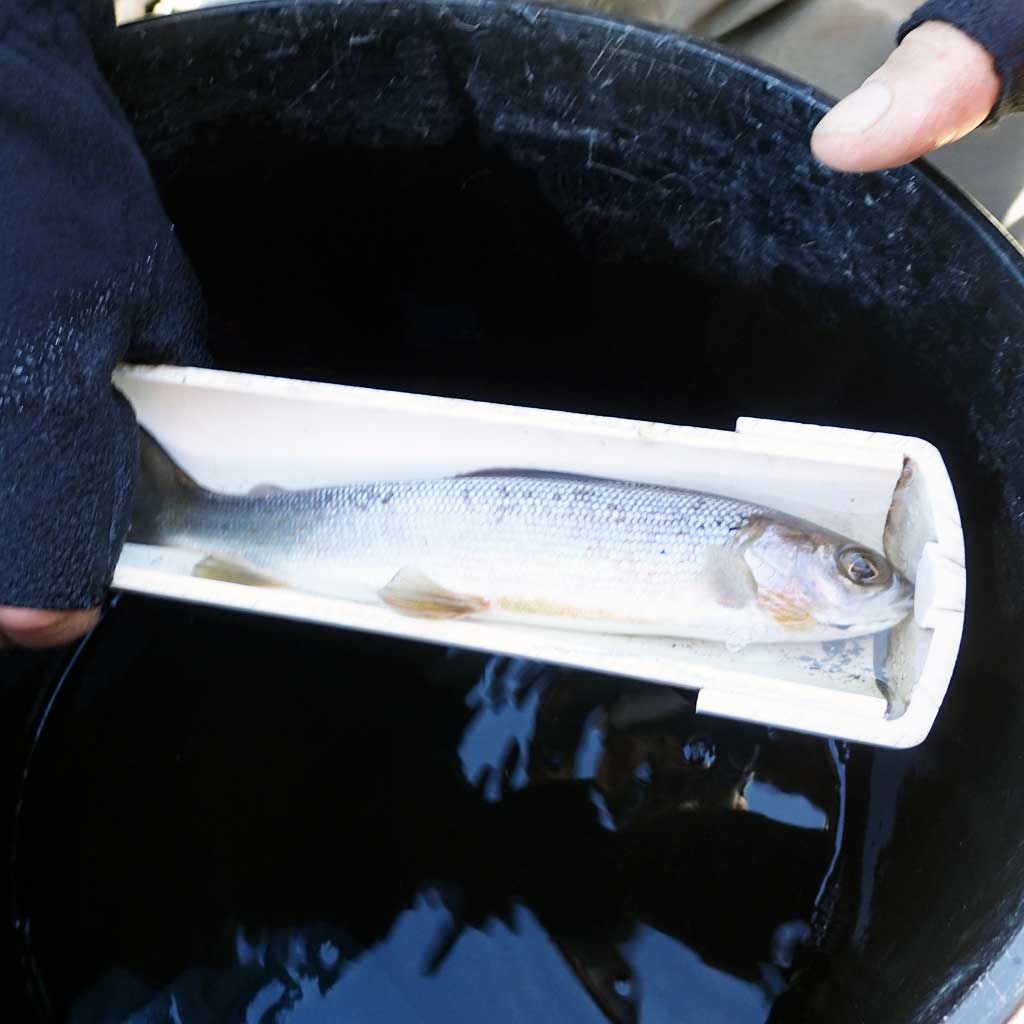
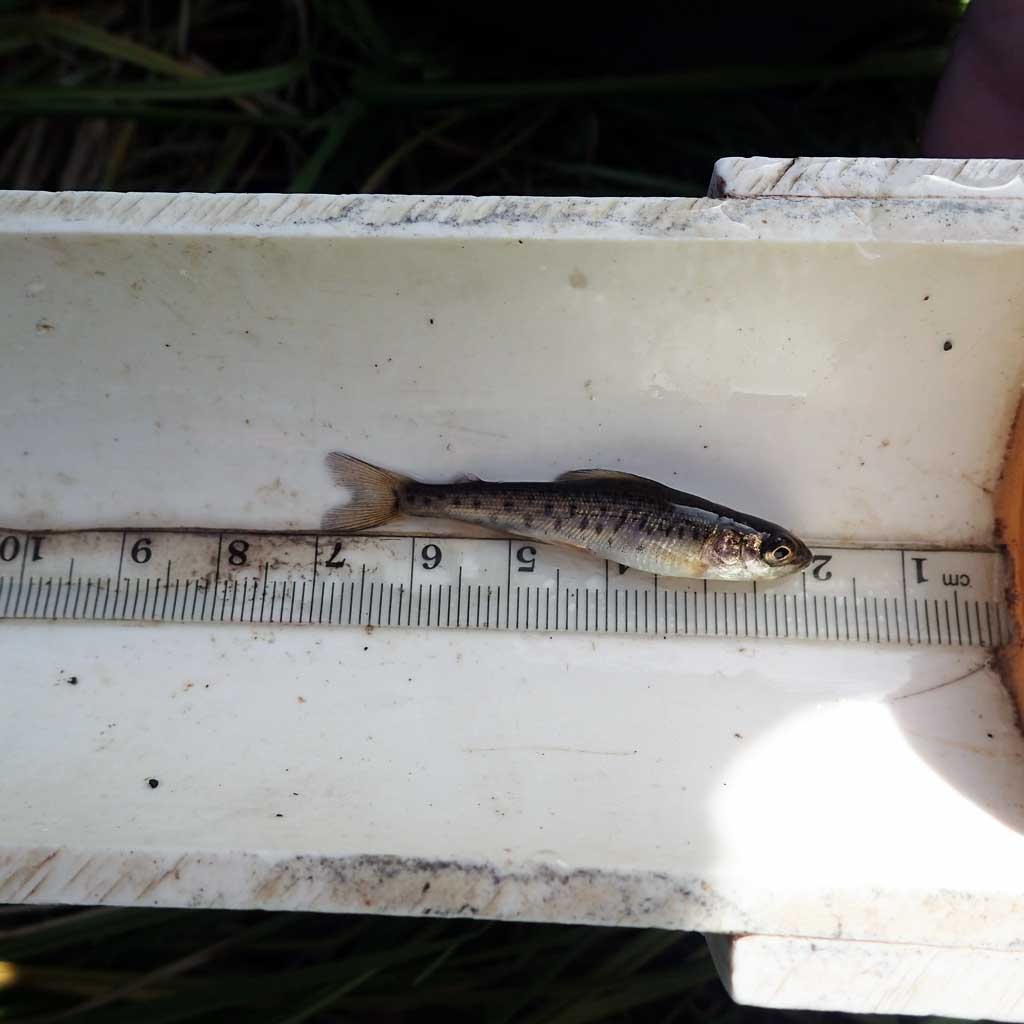
| Species: juvenile/adult Arctic grayling | Life History: Resident | ||
| Total Fish Observed: 11 | Fish Measured: 11 | Passage Barrier: | |
| Fork Lengths (mm) Min: 38 Max: 110 Mean: 51 | |||
| Collected/Observed by Gear Type: Smith-Root LR-24 (11) | |||
Photos
Questions or comments about this report can be directed to dfg.dsf.webmaster@alaska.gov