Fish Inventory Site FSNPR1609C02
Coordinates (dec. deg.): 68.89169°, -152.90725°
Legal Description: U006S004W29
Region: Arctic
Datum: WGS84
Quad Name / ITM: Chandler Lake D-5
AWC Stream #:
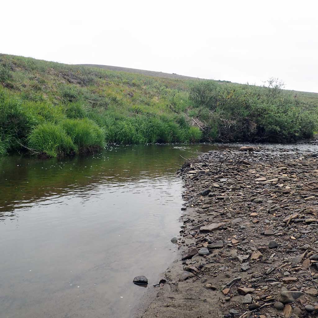
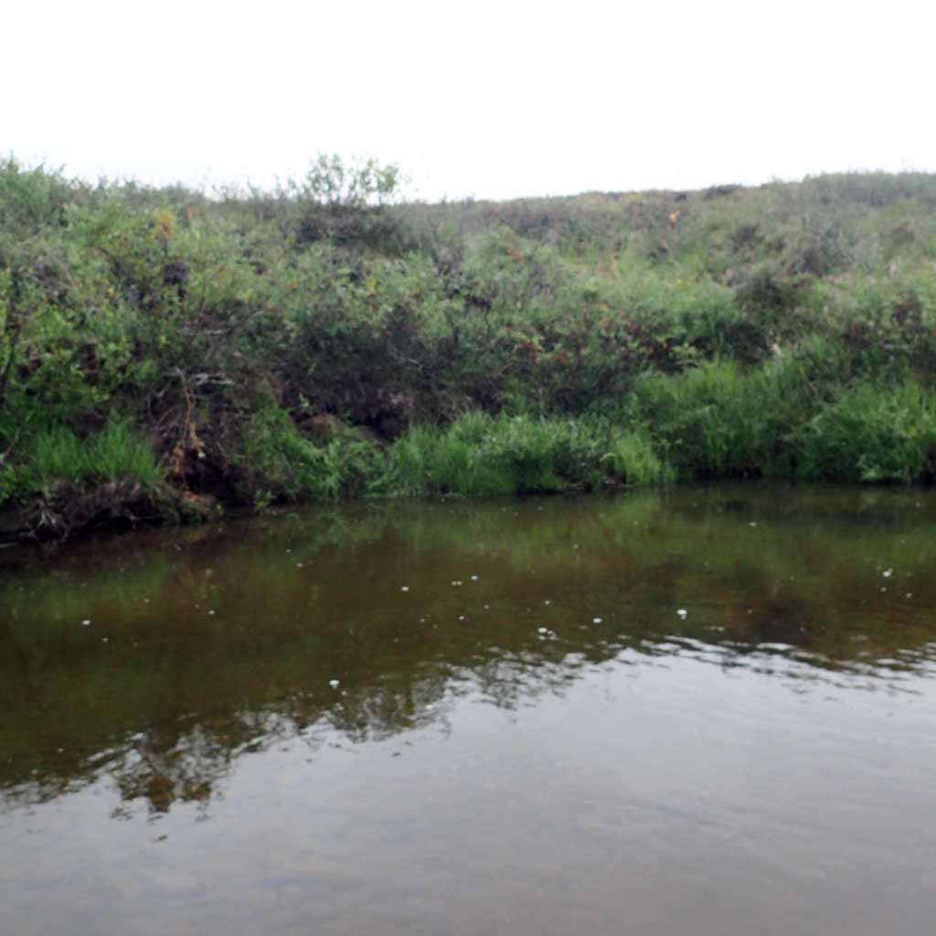
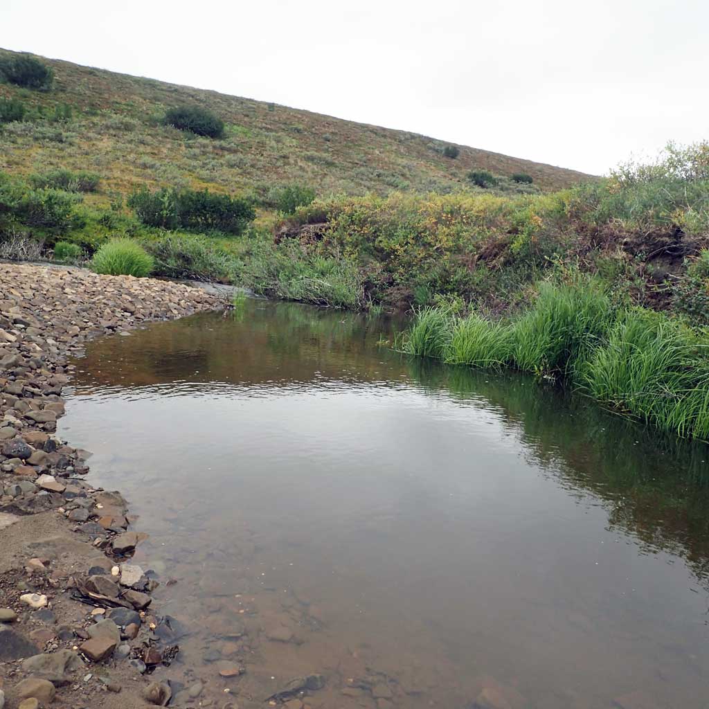
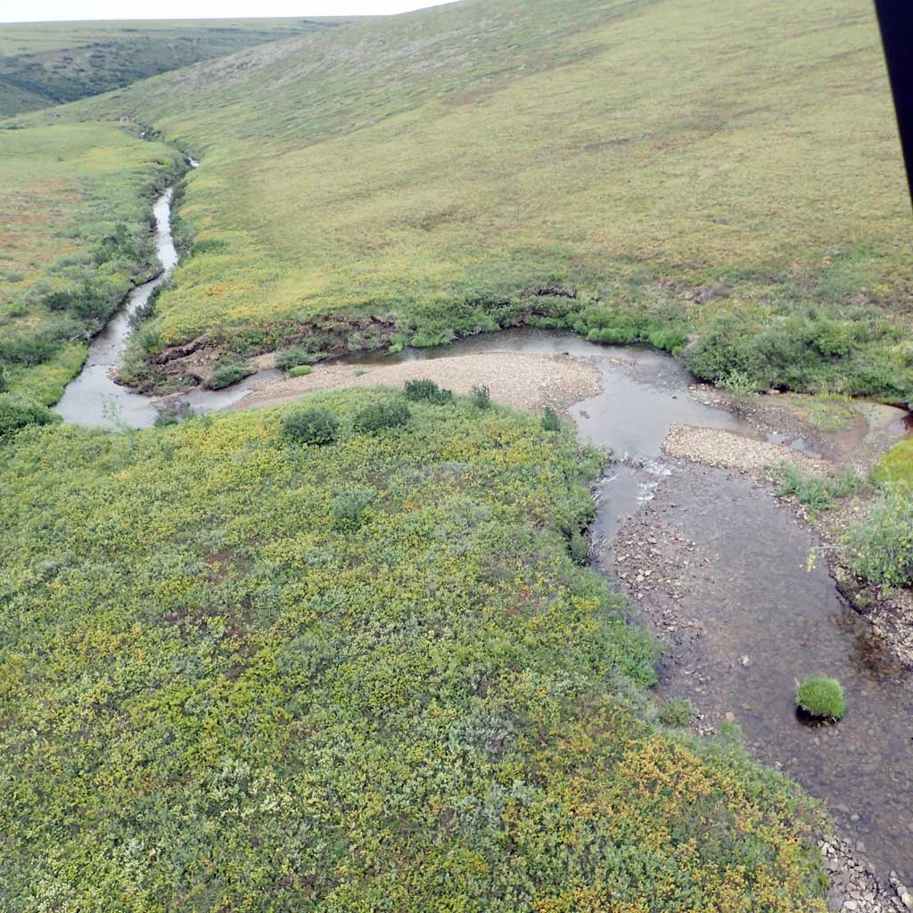
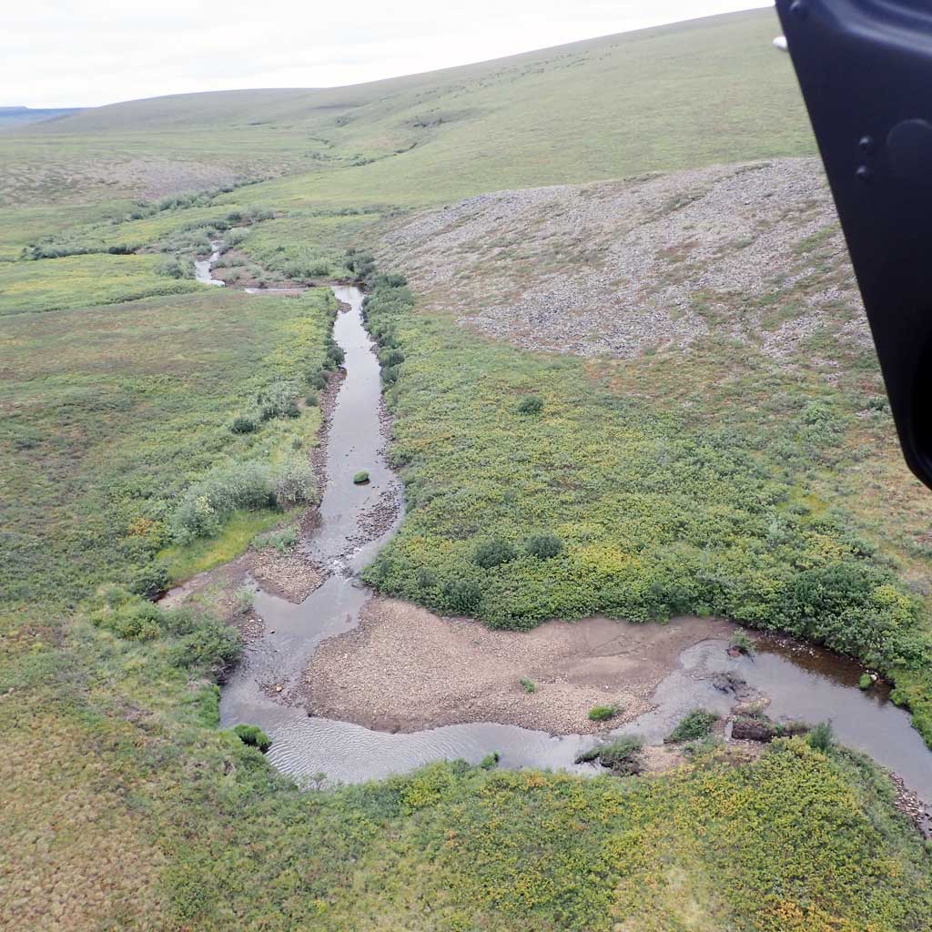
Stream Name: South Fork Ninuluk Creek
Elevation:
Site Comments: H64
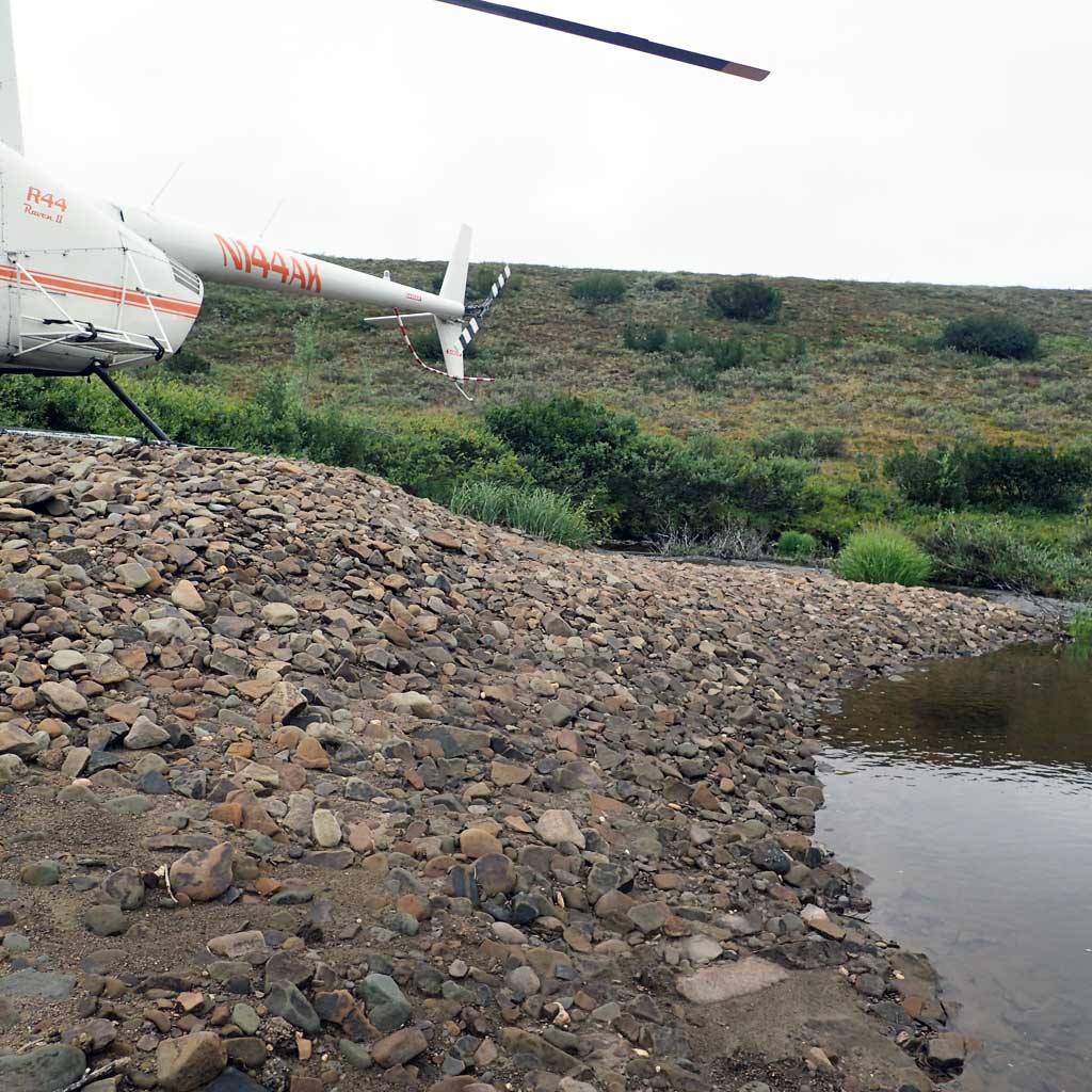
Survey FSNPR16-09C02
Observers: Raye Ann Neustel, J Johnson
Station Characteristics
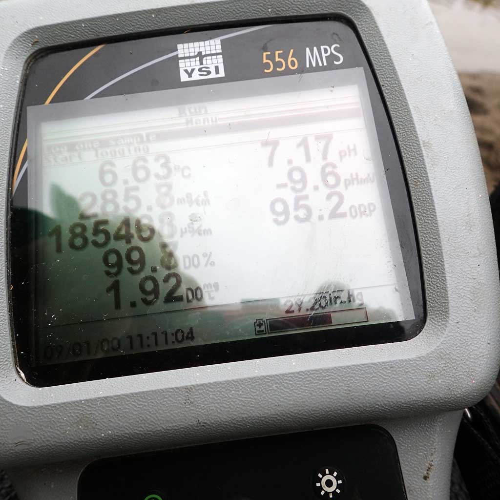
| Water Temperature: 6.62° C DO: 1.91 ppm | Conductivity: | Stream Stage: Medium | |||||||||
| Water Color: Clear | Turbidity: | Stream Gradient: 2.5% | |||||||||
| Qualitative Velocity: | 48 hr. Precipitation/Runoff: None | ||||||||||
| Substrates: Silt/Clay, Gravel, Cobble | |||||||||||
Channel Dimensions:
|
Rosgen Channel Classification: (C5) Low gradient, meandering, point-bar, riffle/pool, alluvial channels with broad, well-defined floodplains. | ||||||||||
| Visit Comments: Conductivity calibration did not hold. | |||||||||||
Vegetation Classification
| Left Bank | Right Bank | ||
|---|---|---|---|
| Distance From OHW(m) |
0-5 | Closed Tall Willow Shrub | Unvegetated |
| 5-10 | Tussock Tundra | Unvegetated | |
| 10-20 | Tussock Tundra | Closed Tall Willow Shrub | |
| 20-30 | Tussock Tundra | Tussock Tundra | |
Fish Sampling Effort
| Gear Type: Smith-Root LR-24 (A) | ||
| Channel Type: Main Channel (>50% of water flow) | ||
| Gear Type: Minnow Trap (B) | ||
| Channel Type: Main Channel (>50% of water flow) | ||
| Gear Type: Visual Observation, Ground (C) | ||
| Channel Type: Main Channel (>50% of water flow) | ||
Fish Observations
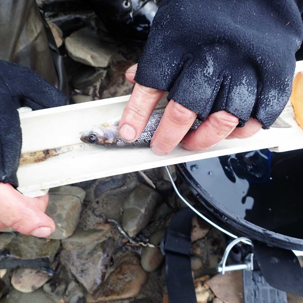
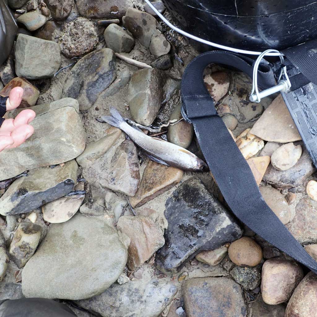
| Species: juvenile/adult Arctic grayling | Life History: Resident | ||
| Total Fish Observed: 1 | Fish Measured: 1 | Passage Barrier: | |
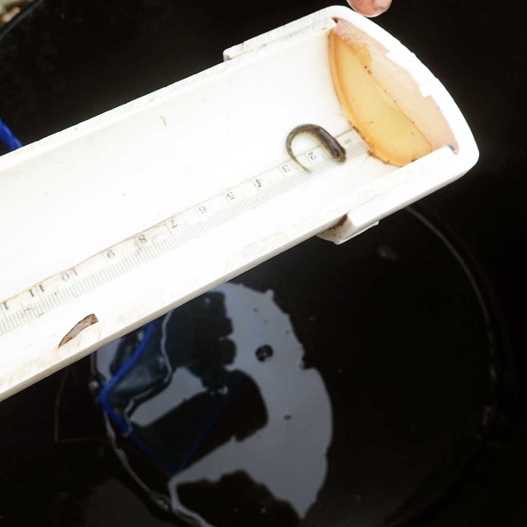
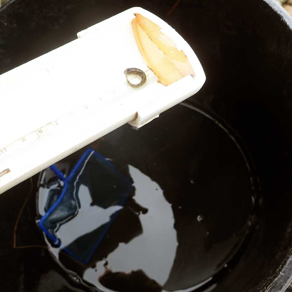
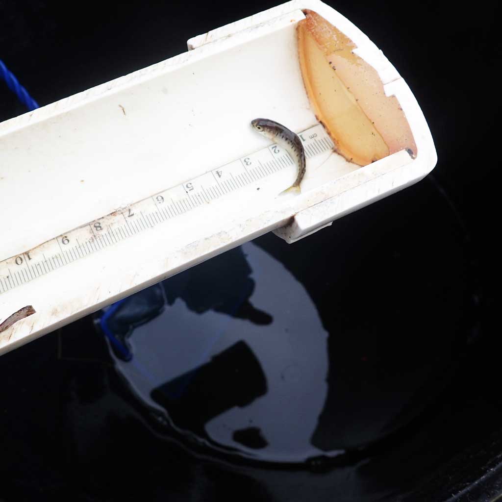
| Fork Lengths (mm) Min: 39 Max: 39 Mean: 39 | |||
| Collected/Observed by Gear Type: Smith-Root LR-24 (1) | |||
| Species: juvenile/adult Arctic grayling | Life History: Resident | ||
| Total Fish Observed: 3 | Fish Measured: 3 | Passage Barrier: | |
| Fork Lengths (mm) Min: 113 Max: 276 Mean: 184 | |||
| Collected/Observed by Gear Type: Smith-Root LR-24 (3) | |||
Photos
Questions or comments about this report can be directed to dfg.dsf.webmaster@alaska.gov