Fish Inventory Site FSNPR1602C04
Coordinates (dec. deg.): 69.86723°, -149.14786°
Legal Description: U006N012E21
Region: Arctic
Datum: WGS84
Quad Name / ITM: Sagavanirktok D-4
AWC Stream #:
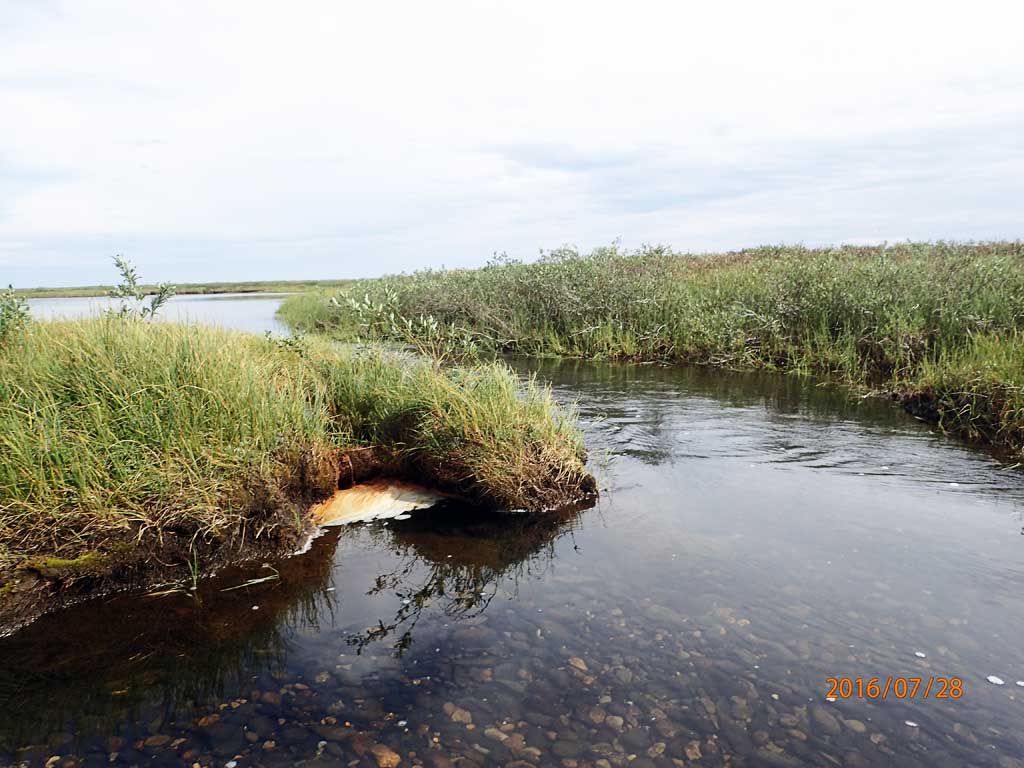
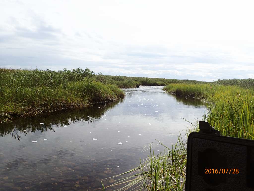
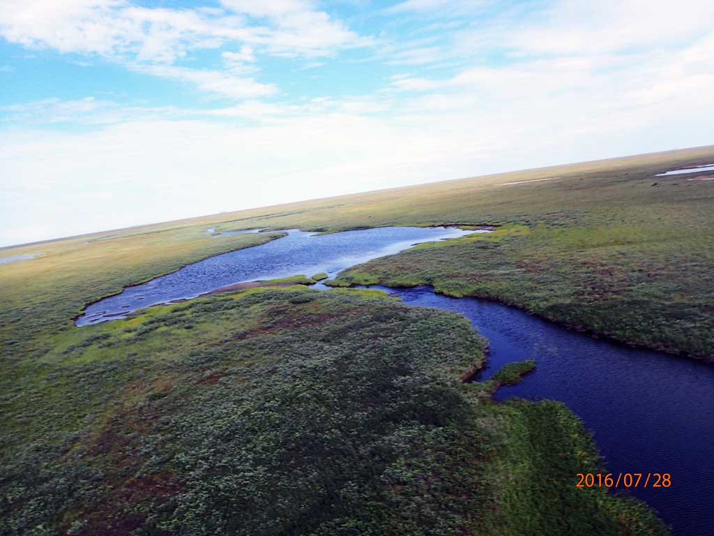
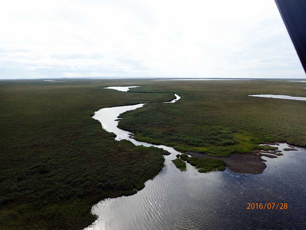
Stream Name: Unnamed stream
Elevation:
Site Comments: H26 Tributary of Kuparuk River
Survey FSNPR16-02C04
Observers: Raye Ann Neustel, J Johnson
Station Characteristics
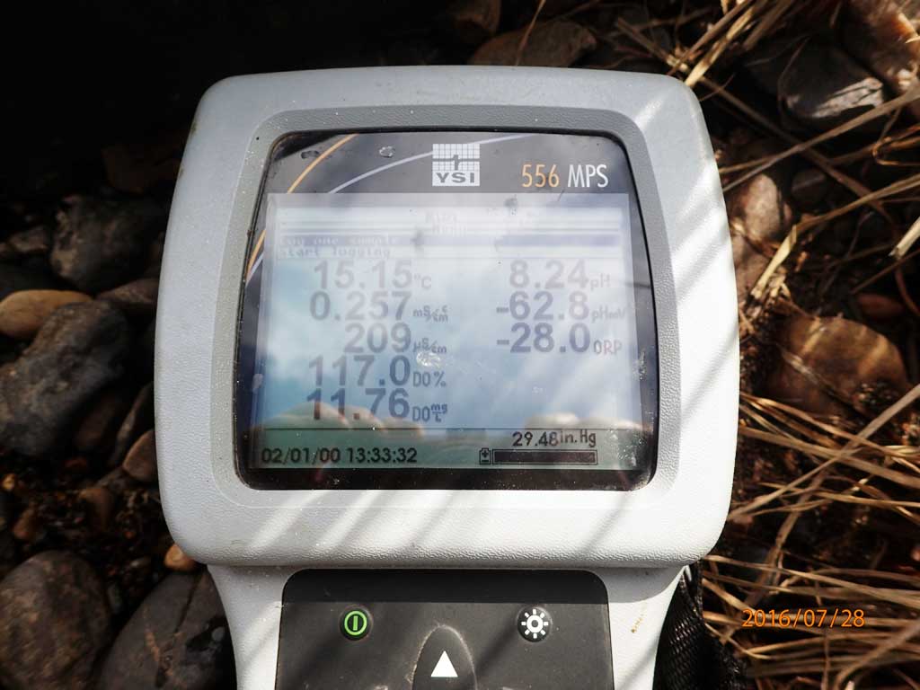
| Water Temperature: 15.18° C DO: 11.7 ppm | Conductivity: 209.0 μS/cm | Stream Stage: Low | |||||||||
| Water Color: Humic | Turbidity: 1.47 NTU / pH: 8.25 | Stream Gradient: 1.5% | |||||||||
| Qualitative Velocity: | 48 hr. Precipitation/Runoff: None/Trace | ||||||||||
| Substrates: Cobble, Gravel, Silt/Clay | |||||||||||
Channel Dimensions:
|
Rosgen Channel Classification: (C3) Low gradient, meandering, point-bar, riffle/pool, alluvial channels with broad, well-defined floodplains. | ||||||||||
| Visit Comments: None | |||||||||||
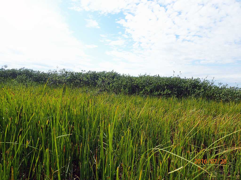
Vegetation Classification
| Left Bank | Right Bank | ||
|---|---|---|---|
| Distance From OHW(m) |
0-5 | Closed Low Willow Shrub | Closed Low Willow Shrub |
| 5-10 | Closed Low Willow Shrub | Closed Low Willow Shrub | |
| 10-20 | Closed Low Willow Shrub | Closed Low Willow Shrub | |
| 20-30 | Closed Low Willow Shrub | Closed Low Willow Shrub | |
Fish Sampling Effort
| Gear Type: Smith-Root LR-24 (A) | ||
| Channel Type: Main Channel (>50% of water flow) | ||
| Gear Type: Minnow Trap (B) | Trap Duration(h): 0 | |
| Channel Type: Main Channel (>50% of water flow) | ||
| Gear Type: Visual Observation, Ground (C) | ||
| Channel Type: Main Channel (>50% of water flow) | ||
Fish Observations
| Species: juvenile/adult ninespine stickleback | Life History: Resident | ||
| Total Fish Observed: 2 | Fish Measured: 2 | Passage Barrier: | |
| Fork Lengths (mm) Min: 33 Max: 38 Mean: 35 | |||
| Collected/Observed by Gear Type: Smith-Root LR-24 (2) | |||
Photos

Questions or comments about this report can be directed to dfg.dsf.webmaster@alaska.gov