Fish Passage Site 30303082
Coordinates (dec. deg.): 59.02452°, -158.53804°
Legal Description: S013S056W25
Region: Southwest
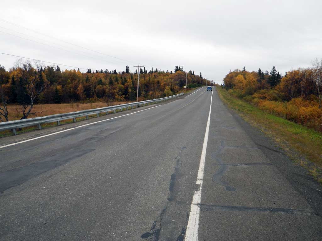
Road Name: Kanakanak Road
Datum: NAD83
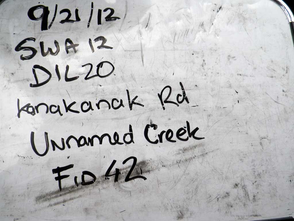
Quad Name / ITM: Dillingham A-7
AWC Stream #: 325-30-10100-2017
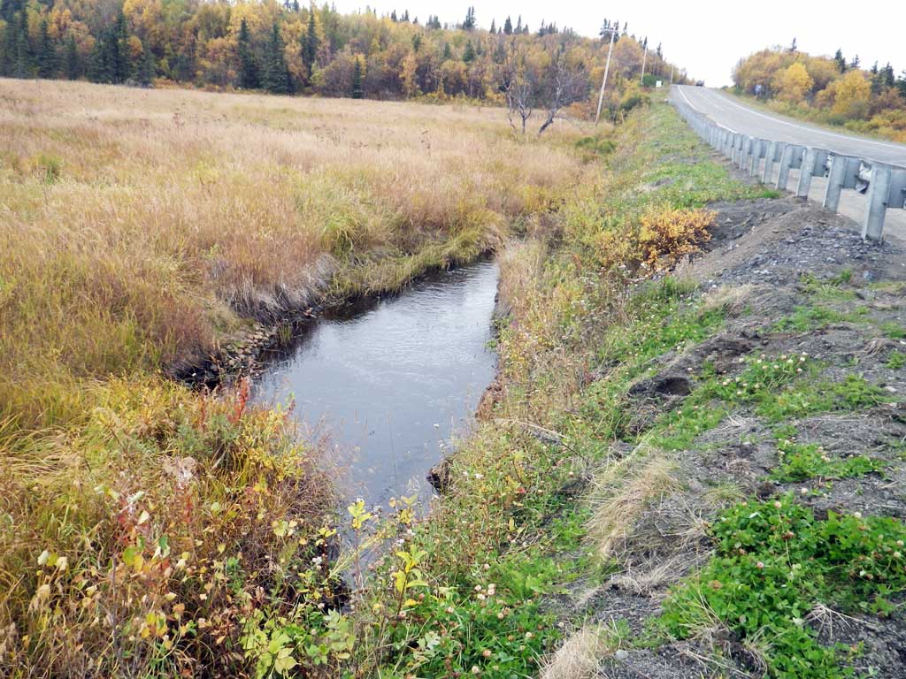
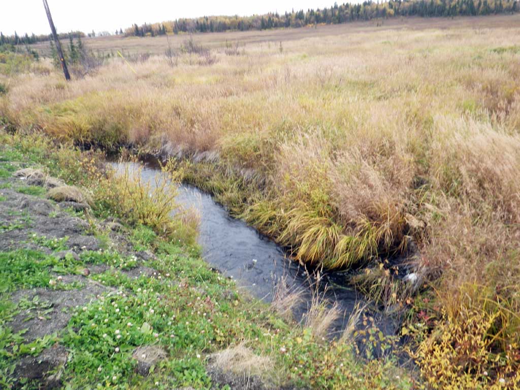
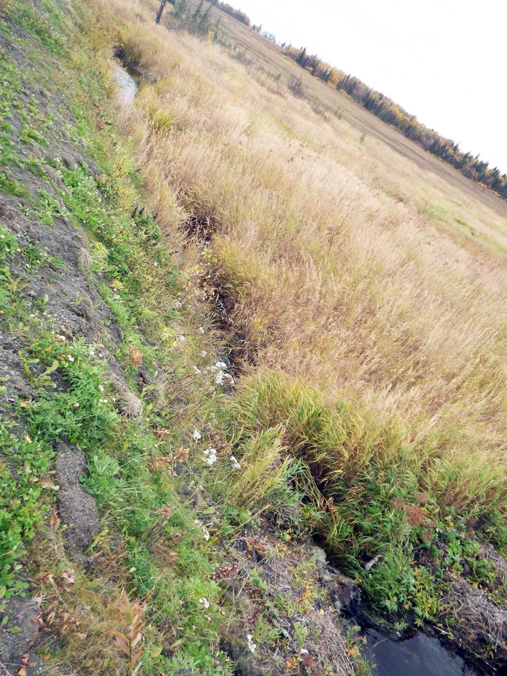
Stream Name: Nushagak River tributary
Elevation:
Site Comments: None
arrow to the right of the survey date below to choose a different report for this site.
Survey SWA12-DIL20
Project Supervisor: Gillian O'Doherty, Alaska Department of Fish and Game
— Anchorage, AK
Observers: Gillian O'Doherty, Mark Eisenman
Overall Fish Passage Rating:
Tidal: No
Backwatered: Yes
Step Pools: No
Construction Year:
Site Observations:
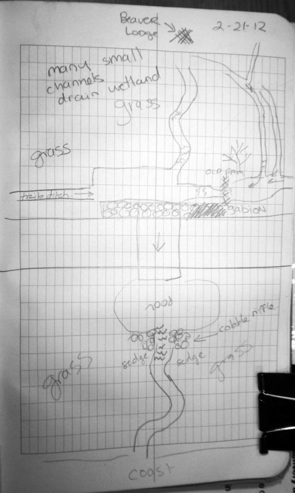
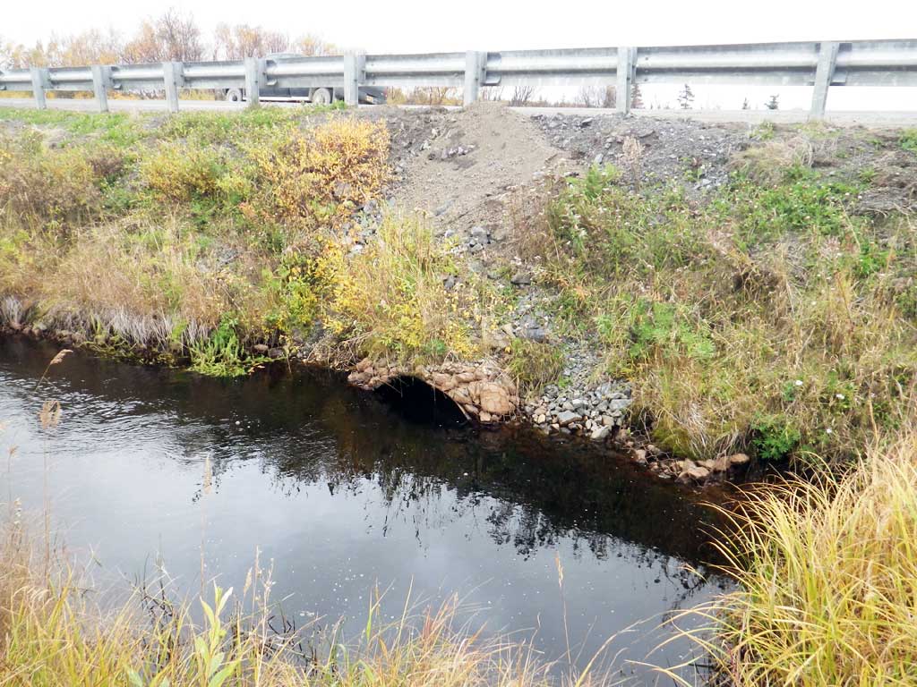
- Compound gradient in pipe
- Beaver Activity
- Hydraulic flows exceeded capacity
- Structural Problem
- Culvert is too short
- Culvert is poorly aligned
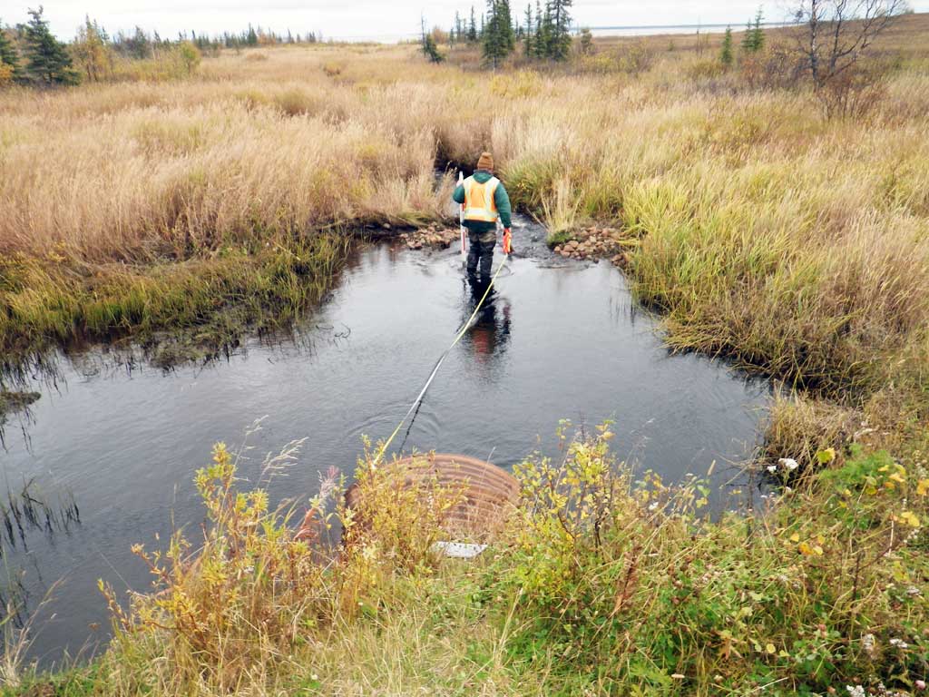
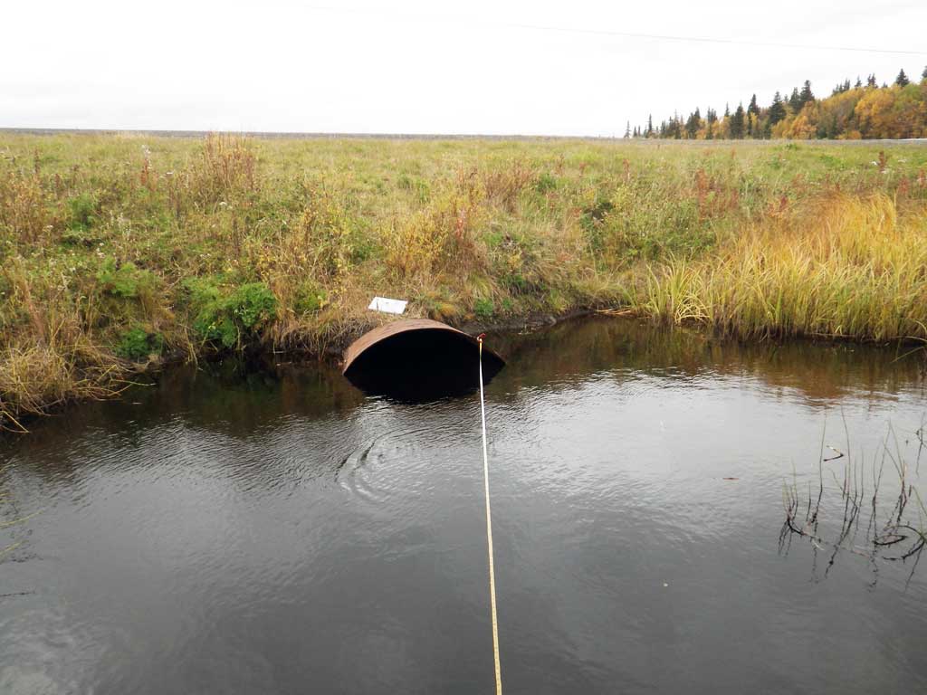
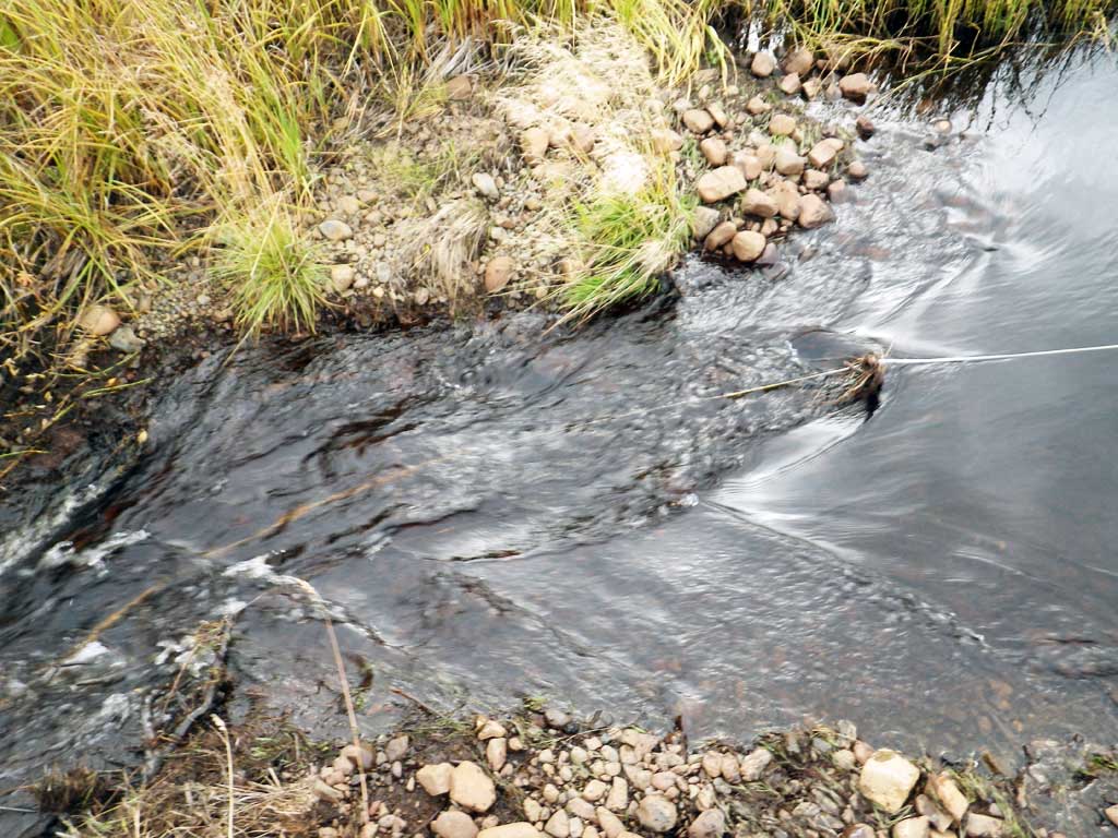
Comments: Old beaver dam upstream and downstream. Large outlet pool with debris dam serving as TWC. Upstream comes in from multiple channels. Unable to get culvert length. Culvert sagging in middle, unable to see through because almost completely filled with water.
Culvert Measurements
| ID: 1 | Structure Type: Circular pipe (Corrugated steel) | Fish Passage Rating: | |||||||||||||||||||||||||||||||||||||||||
|
|
|
|||||||||||||||||||||||||||||||||||||||||
Comments: Failure code Road Fill not entered because of lack of space. Unable to shoot length because culvert nearly full of water. No rust line height. |
|||||||||||||||||||||||||||||||||||||||||||
Culvert Observations:
|
|||||||||||||||||||||||||||||||||||||||||||
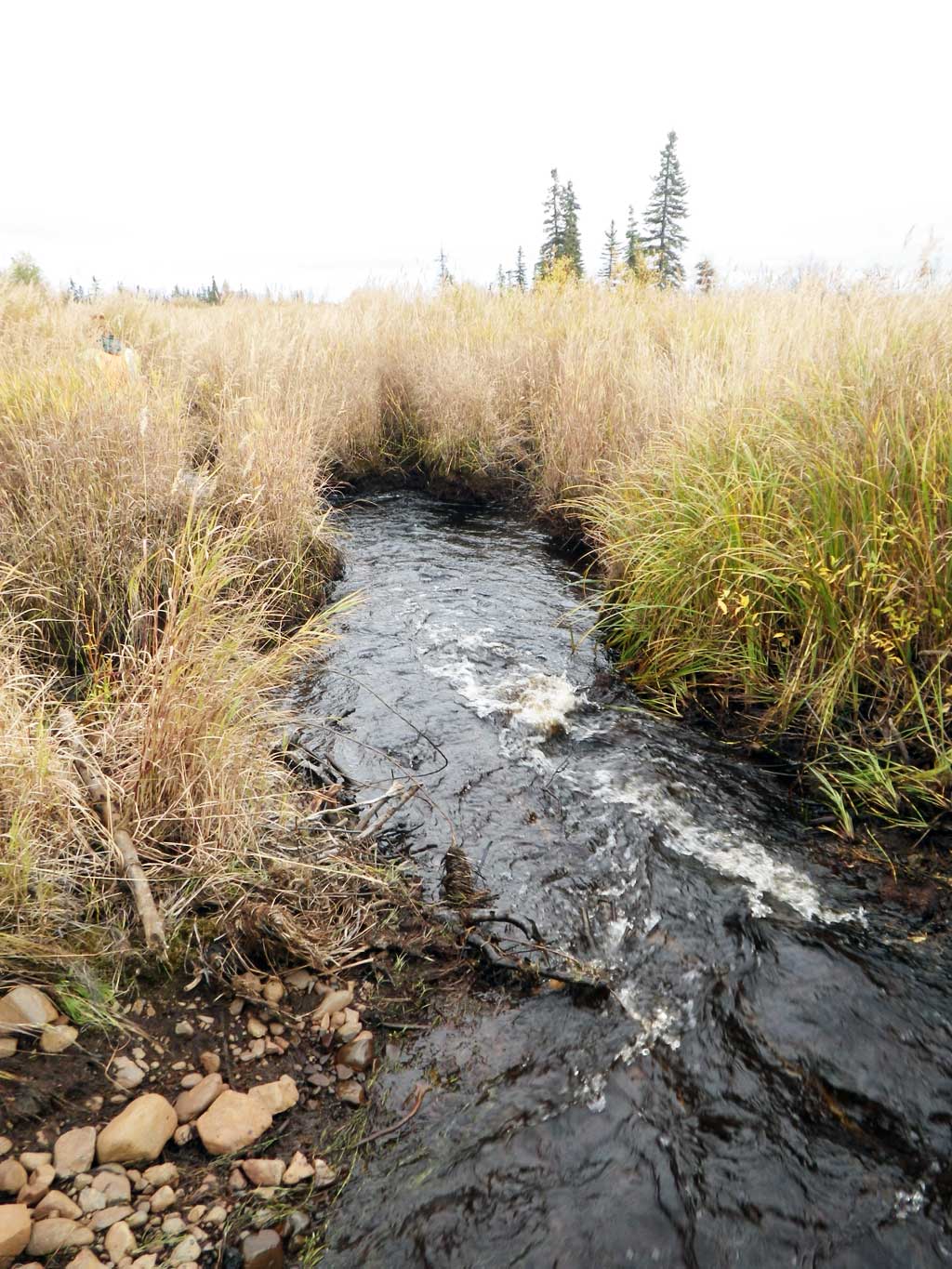
Stream Measurements
|
|
| Stream Width Type | Distance From Crossing (ft) |
Stream Width (ft) |
|---|---|---|
| Upstream ordinary high water | 57.0 | 6.40 |
| Upstream ordinary high water | 124.0 | 6.00 |
| Upstream ordinary high water | 158.0 | 5.50 |
Elevations
| Locator ID | Culvert Number |
River Distance (ft)1 |
Distance From Crossing (ft)2 |
Relative Elevation (ft) |
|---|---|---|---|---|
| D/S Water Surface Elev (pool above twc) | 89.56 | |||
| U/S Water Surface Elev | 90.44 | |||
| D/S Water Surface Elev | 90.45 |
Notes:
- River distance is measured continuously throughout the survey reach along the thalweg of the stream.
- Measured from each end of the crossing along the thalweg of the stream.
Fish Sampling Efforts
| Gear Type: Visual Observation, Ground (A) | ||
| Comments: No traps set, no fish observed. | ||
Fish Observations
No fish observations occurred during this survey.
Photos

Questions or comments about this report can be directed to dfg.dsf.webmaster@alaska.gov