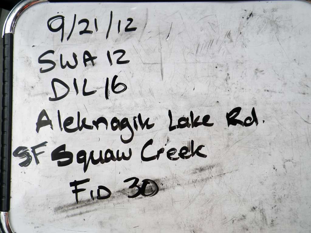
Fish Passage Site 30303078
Coordinates (dec. deg.): 59.04291°, -158.55295°
Legal Description: S013S056W13
Region: Southwest
Road Name: Aleknagik Lake Road
Datum: NAD83
Quad Name / ITM: Dillingham A-7
AWC Stream #: 325-30-10100-2021
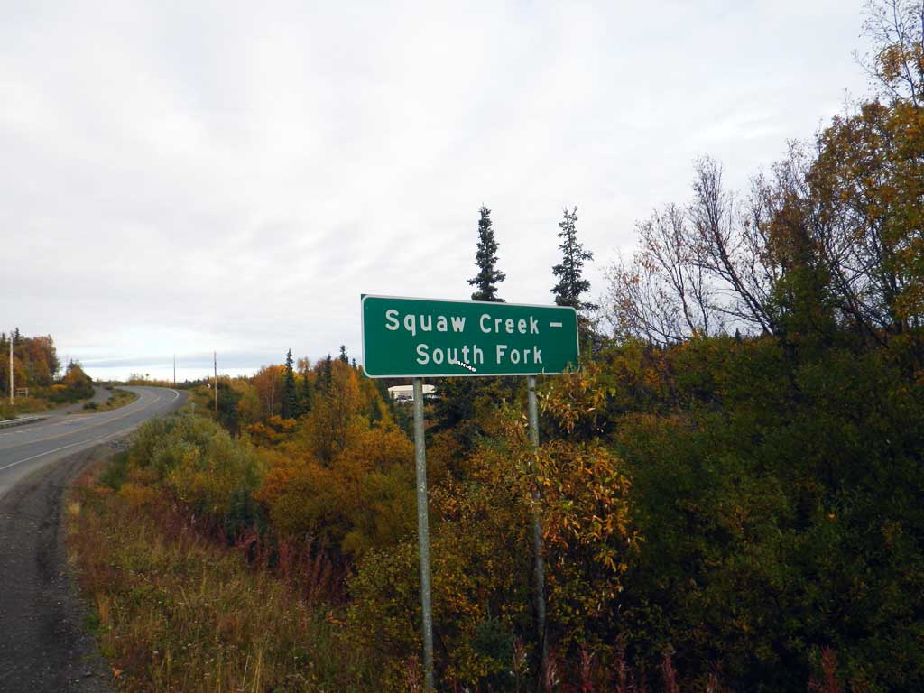
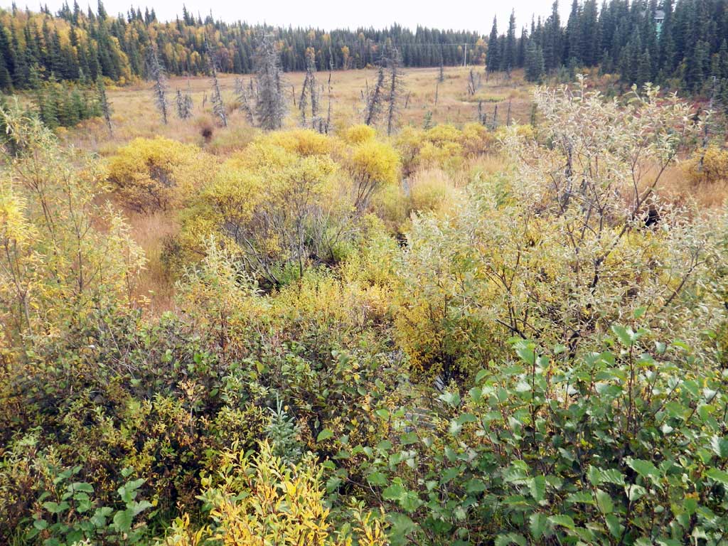
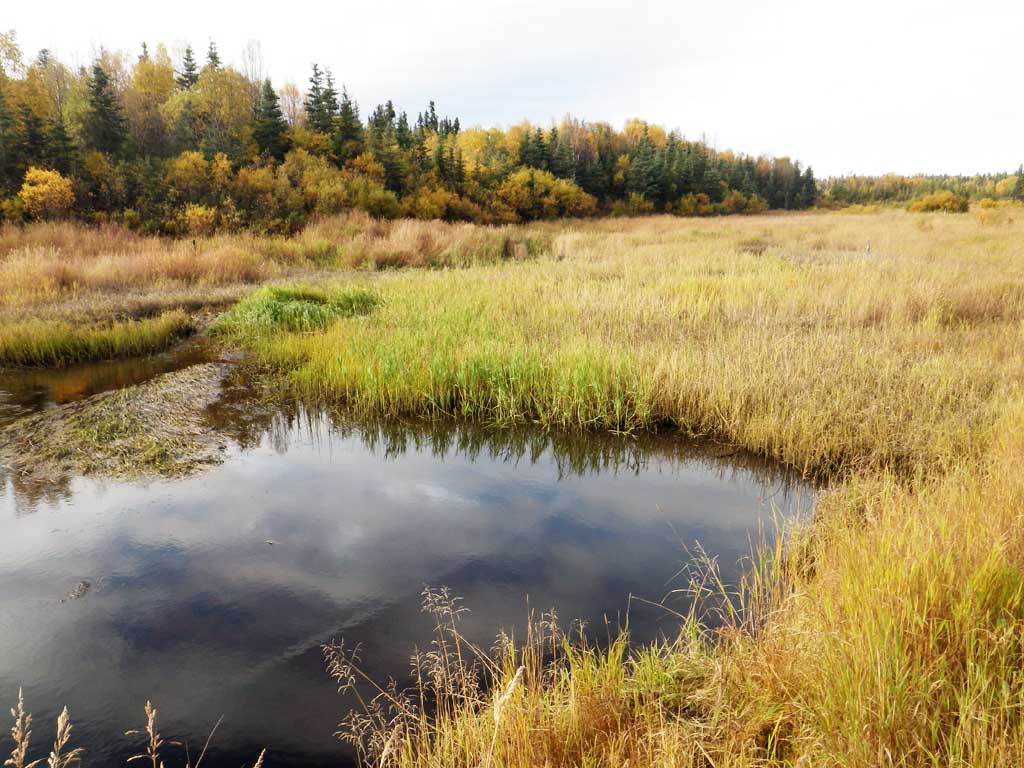
Stream Name: Seven Sisters Creek South Fork
Elevation:
Site Comments: Stream and Watershed name changed to local name on 11.24.21
Survey SWA12-DIL16
Project Supervisor: Gillian O'Doherty, Alaska Department of Fish and Game
— Anchorage, AK
Observers: Gillian O'Doherty, Mark Eisenman
Overall Fish Passage Rating:
Tidal: No
Backwatered: No
Step Pools: No
Construction Year:
Site Observations:
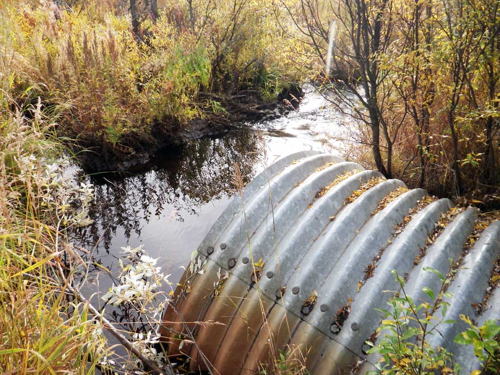
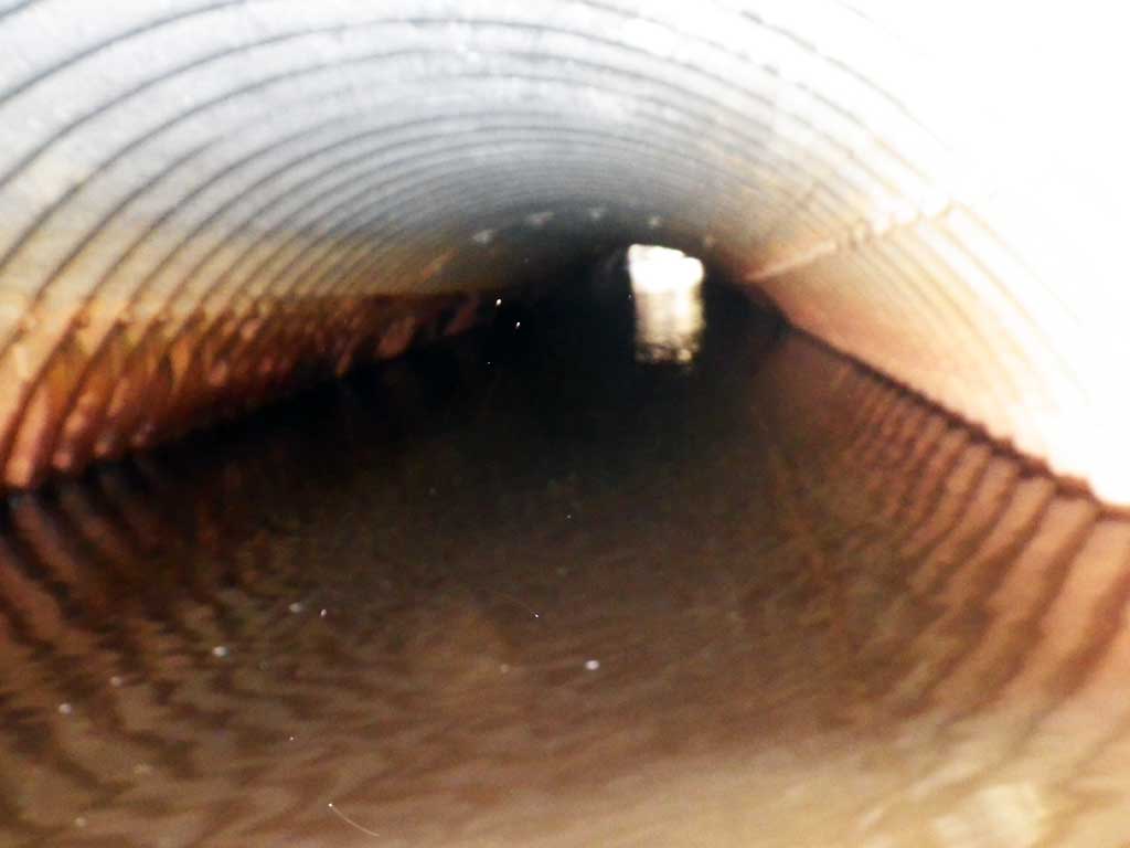
- Culvert gradient red
- Compound gradient in pipe
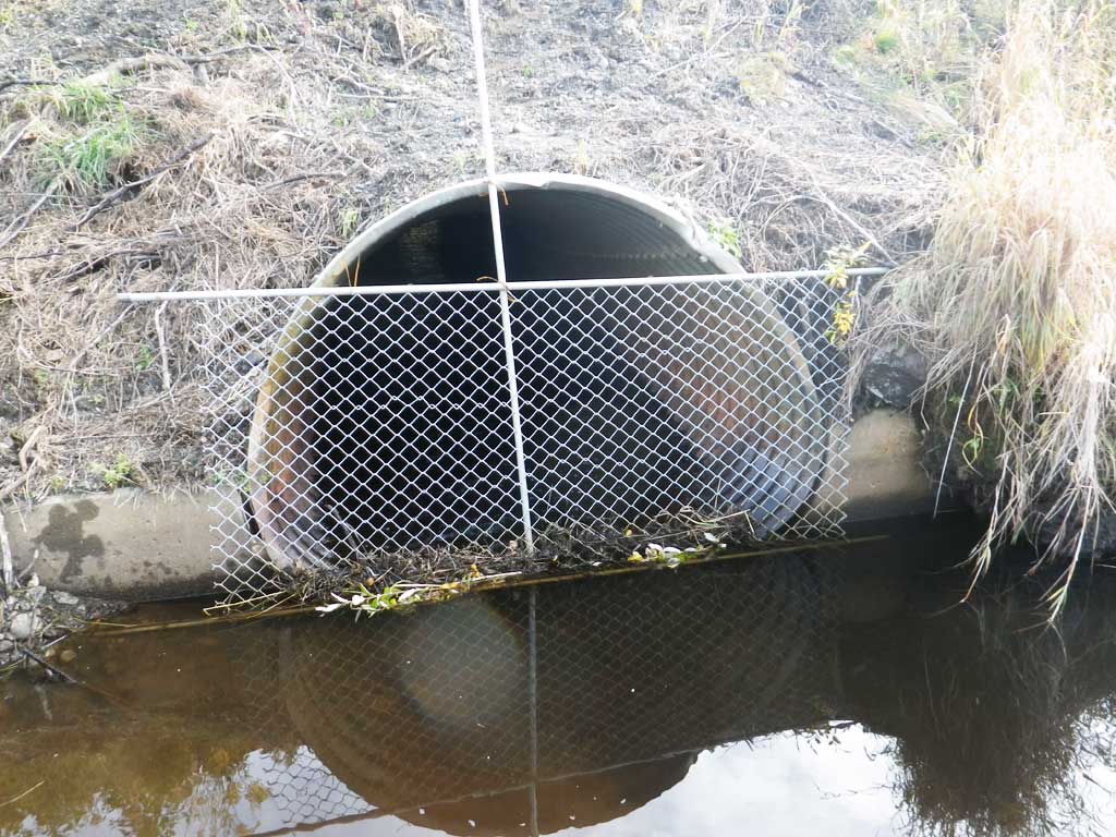
- Inlet perch
- Culvert is poorly aligned
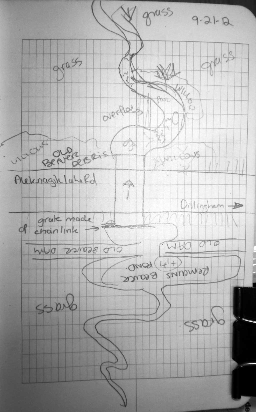
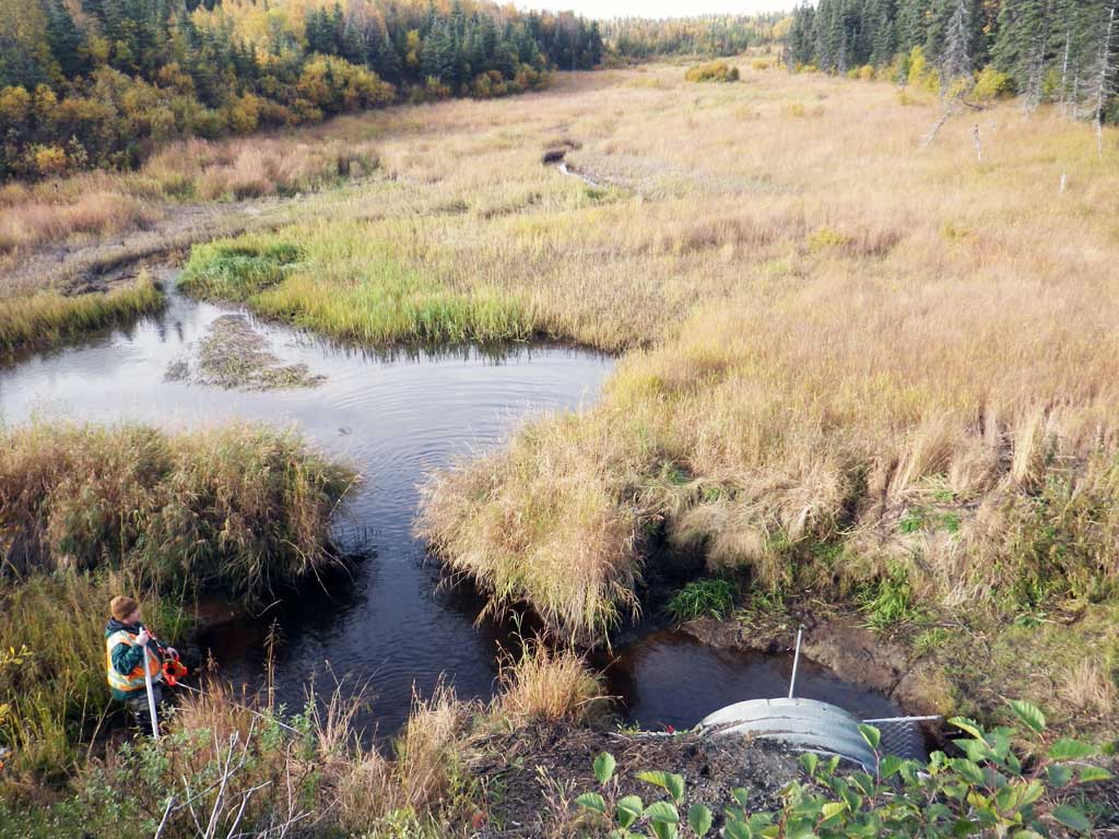
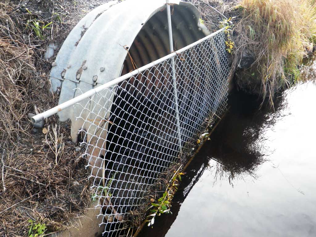
Comments: There is a beaver grate made of pipe and chain link fence at inlet. Old beaver dam complex upstream. Unidentified fish observed at outlet. Approx 60 mm in length, possible par marks.
Culvert Measurements
| ID: 1 | Structure Type: Pipe-arch (Structural steel plate) | Fish Passage Rating: | |||||||||||||||||||||||||||||||||||||||||
|
|
|
|||||||||||||||||||||||||||||||||||||||||
Culvert Observations:
|
|||||||||||||||||||||||||||||||||||||||||||
Stream Measurements
|
|
| Stream Width Type | Distance From Crossing (ft) |
Stream Width (ft) |
|---|---|---|
| Downstream ordinary high water | 73.0 | 4.30 |
| Downstream ordinary high water | 110.0 | 5.00 |
| Downstream ordinary high water | 167.0 | 6.40 |
Elevations
| Locator ID | Culvert Number |
River Distance (ft)1 |
Distance From Crossing (ft)2 |
Relative Elevation (ft) |
|---|---|---|---|---|
| Road Elev | 100.00 | |||
| D/S Grade Ctrl (Thalweg) (head of riffle) | 0.00 | 80.40 | ||
| D/S Water Surface Elev | 0.00 | 81.13 | ||
| D/S Grade Ctrl (Thalweg) (head of riffle) | 85.00 | 81.95 | ||
| D/S Water Surface Elev | 85.00 | 82.49 | ||
| D/S Tailcrest or 1st Thalweg (tailwater control) | 143.00 | 83.12 | ||
| D/S Water Surface Elev | 143.00 | 83.65 | ||
| D/S Water Surface Elev (tailwater surface) | 150.00 | 83.66 | ||
| Max Pool Depth | 150.00 | 81.37 | ||
| Outlet Invert (on pipe) | 153.00 | 81.15 | ||
| Outlet Culvert Top | 153.00 | 83.46 | ||
| D/S Water Surface Elev | 153.00 | 83.64 | ||
| Inlet Culvert Top | 255.00 | 88.69 | ||
| U/S Water Surface Elev (water surface drops through grate) | 255.00 | 83.72 | ||
| Inlet Culvert Invert (on pipe inside grate) | 255.00 | 83.34 | ||
| U/S Thalweg | 265.00 | 81.75 | ||
| U/S Water Surface Elev | 265.00 | 83.87 |
Notes:
- River distance is measured continuously throughout the survey reach along the thalweg of the stream.
- Measured from each end of the crossing along the thalweg of the stream.
Fish Sampling Efforts
| Gear Type: Visual Observation, Ground (A) | ||
| Comments: Undetermined fish of approximately 60 mm with possible parr marks observed at outlet. | ||
Fish Observations
No fish observations occurred during this survey.
Photos
Questions or comments about this report can be directed to dfg.dsf.webmaster@alaska.gov