Fish Passage Site 30303077
Coordinates (dec. deg.): 59.04982°, -158.56984°
Legal Description: S013S056W14
Region: Southwest
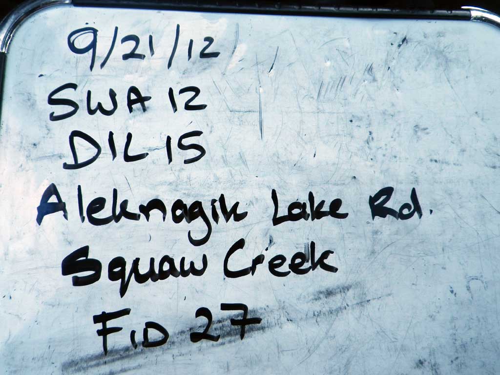
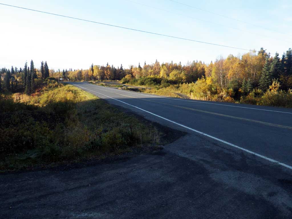
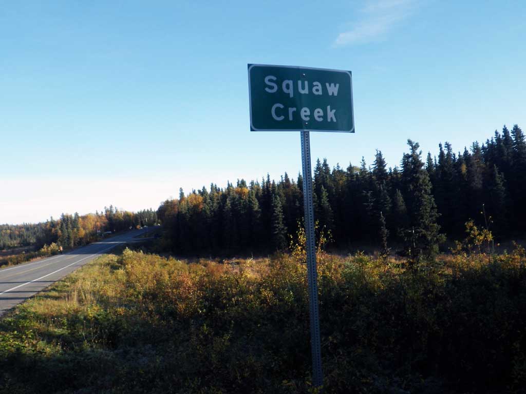
Road Name: Aleknagik Lake Road
Datum: NAD83
Quad Name / ITM: Dillingham A-7
AWC Stream #: 325-30-10100-2021
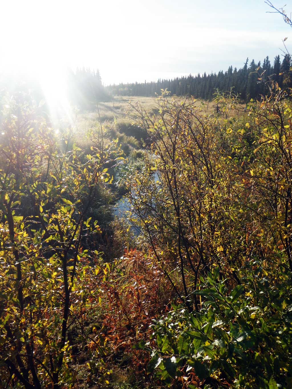
Stream Name: Seven Sisters Creek
Elevation:
Site Comments: Stream and Watershed name changed to local name on 11.24.21
Survey SWA12-DIL15
Project Supervisor: Gillian O'Doherty, Alaska Department of Fish and Game
— Anchorage, AK
Observers: Gillian O'Doherty, Mark Eisenman
Overall Fish Passage Rating:
Tidal: No
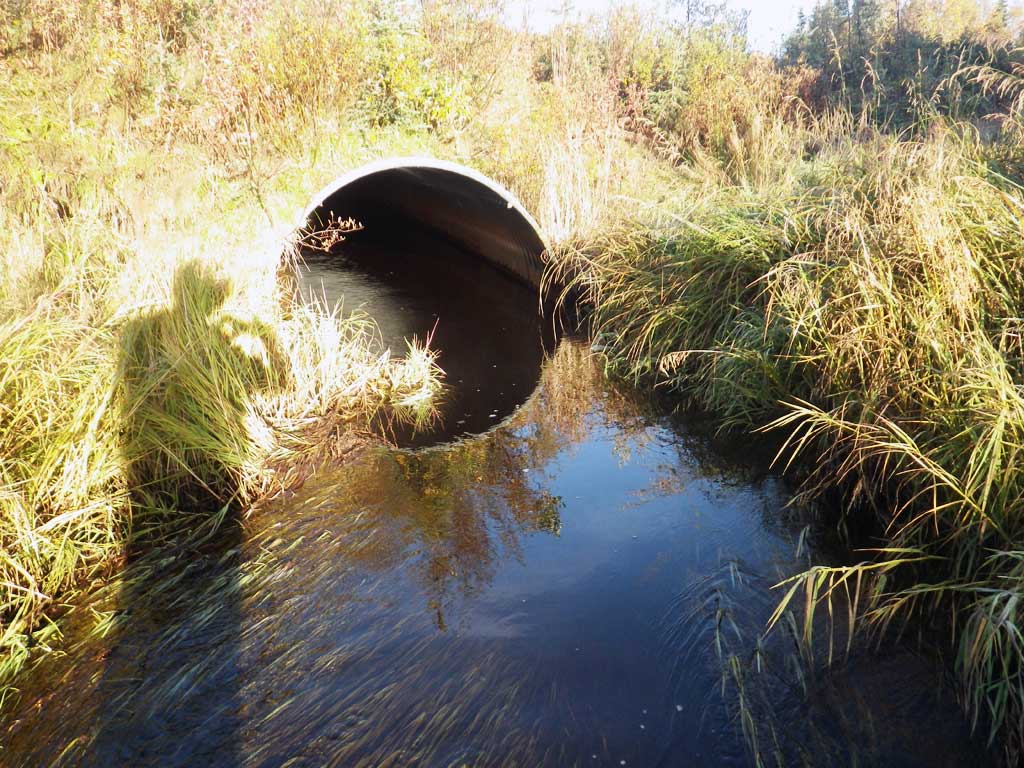
Backwatered: Yes
Step Pools: No
Construction Year:
Comments: None
Culvert Measurements
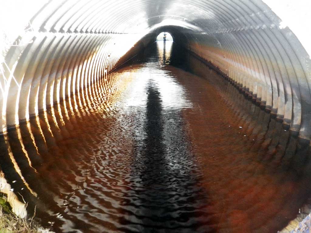
| ID: 1 | Structure Type: Pipe-arch (Structural steel plate) | Fish Passage Rating: | |||||||||||||||||||||||||||||||||||||||||
|
|
|
|||||||||||||||||||||||||||||||||||||||||
Stream Measurements
|
|
| Stream Width Type | Distance From Crossing (ft) |
Stream Width (ft) |
|---|---|---|
| Upstream ordinary high water | 96.0 | 7.50 |
| Upstream ordinary high water | 133.0 | 8.00 |
| Upstream ordinary high water | 169.0 | 6.70 |
Elevations
| Locator ID | Culvert Number |
River Distance (ft)1 |
Distance From Crossing (ft)2 |
Relative Elevation (ft) |
|---|---|---|---|---|
| Road Elev | 100.00 | |||
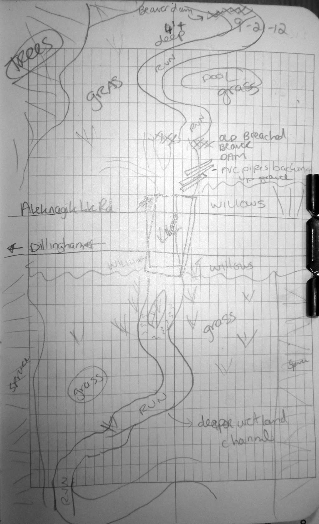
| D/S Grade Ctrl (Thalweg) (below island and around bend) | 0.00 | 86.63 | ||
| D/S Water Surface Elev | 0.00 | 87.30 | ||
| D/S Grade Ctrl (Thalweg) (below island) | 36.00 | 86.99 | ||
| D/S Water Surface Elev | 36.00 | 87.63 | ||
| D/S Water Surface Elev | 63.00 | 88.14 | ||
| D/S Tailcrest or 1st Thalweg (tailwater control) | 63.00 | 87.38 | ||
| Max Pool Depth | 77.00 | 86.40 | ||
| D/S Water Surface Elev (tailwater surface) | 77.00 | 88.28 | ||
| D/S Water Surface Elev | 82.00 | 88.28 | ||
| Outlet Invert (on pipe) | 82.00 | 86.62 | ||
| Outlet Culvert Top | 82.00 | 91.94 | ||
| Inlet Culvert Top | 193.50 | 92.16 | ||
| Inlet Culvert Invert (on pipe) | 193.50 | 85.84 | ||
| U/S Water Surface Elev | 193.50 | 87.33 | ||
| U/S Water Surface Elev | 212.50 | 88.36 | ||
| U/S Grade Ctrl (Thalweg) (pipe's gravel bar) | 212.50 | 87.73 | ||
| U/S Grade Ctrl (Thalweg) (old beaver dam) | 228.50 | 87.67 | ||
| U/S Water Surface Elev | 228.50 | 88.45 | ||
| U/S Grade Ctrl (Thalweg) (stream grade) | 262.50 | 87.82 | ||
| U/S Water Surface Elev | 262.50 | 88.56 | ||
| U/S Water Surface Elev | 321.50 | 89.12 | ||
| U/S Grade Ctrl (Thalweg) | 321.50 | 88.47 | ||
| U/S Water Surface Elev (stream grade) | 409.50 | 89.32 | ||
| U/S Grade Ctrl (Thalweg) | 409.50 | 88.93 |
Notes:
- River distance is measured continuously throughout the survey reach along the thalweg of the stream.
- Measured from each end of the crossing along the thalweg of the stream.
Fish Sampling Efforts
| Gear Type: Visual Observation, Ground (A) | ||
| Comments: No traps set, no fish observed. | ||
Fish Observations
No fish observations occurred during this survey.
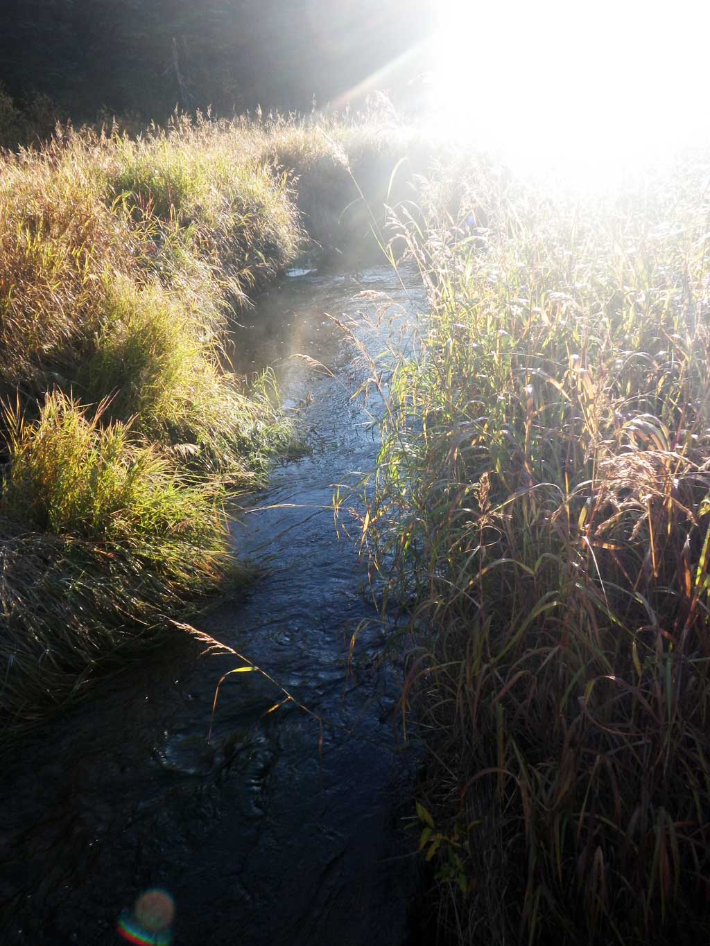
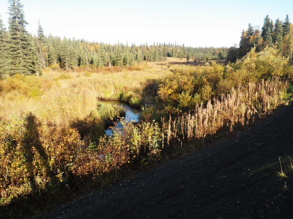
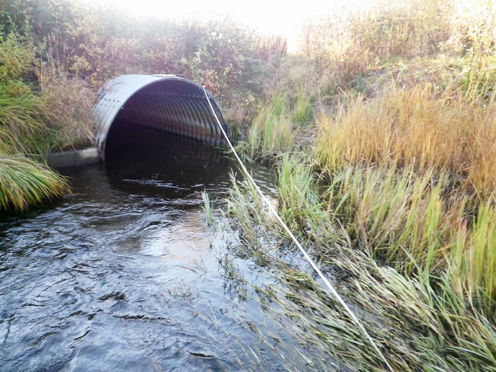
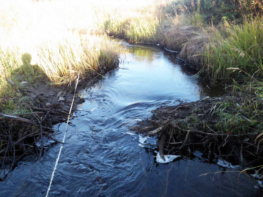
Photos
Questions or comments about this report can be directed to dfg.dsf.webmaster@alaska.gov