Fish Passage Site 30303075
Coordinates (dec. deg.): 59.04834°, -158.54979°
Legal Description: S013S056W13
Region: Southwest
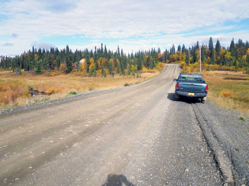
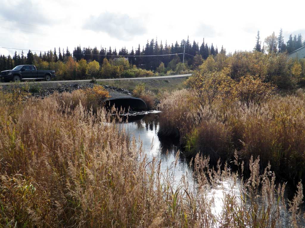
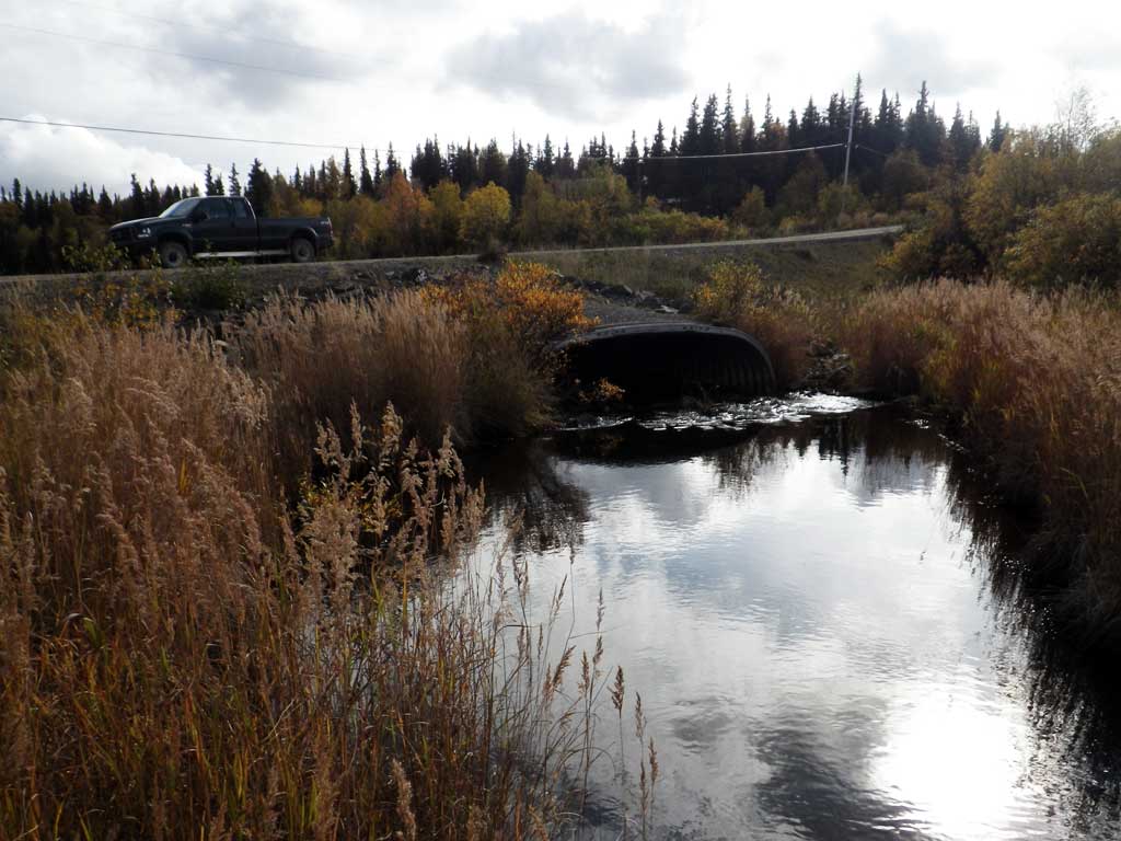
Road Name: Wihdeon Road
Datum: NAD83
Quad Name / ITM: Dillingham A-7
AWC Stream #: 325-30-10100-2021-3012
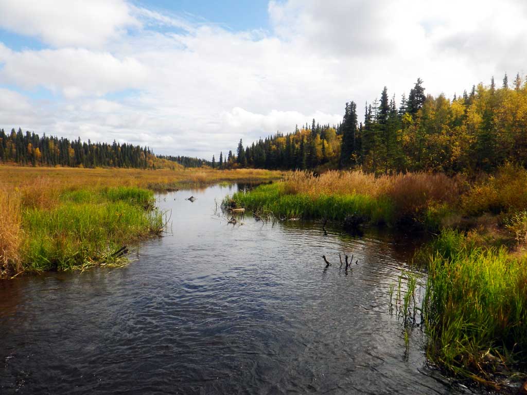
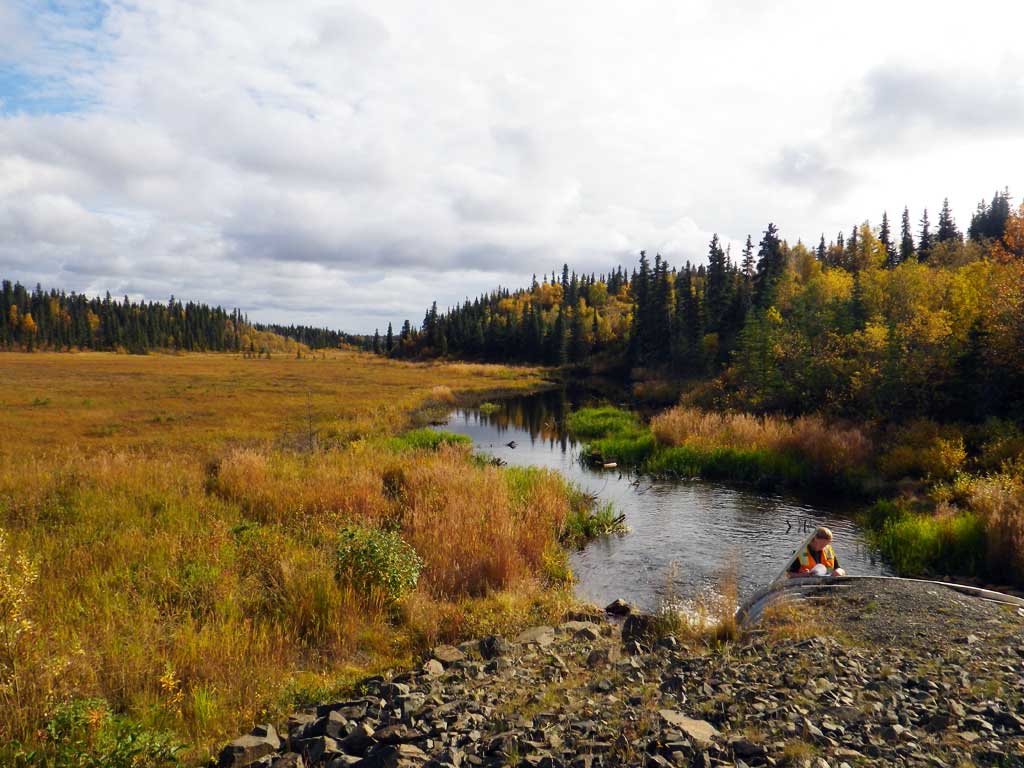
Stream Name: Seven Sisters Creek Middle Fork
Elevation:
Site Comments: Stream and Watershed name changed to local name on 11.24.21
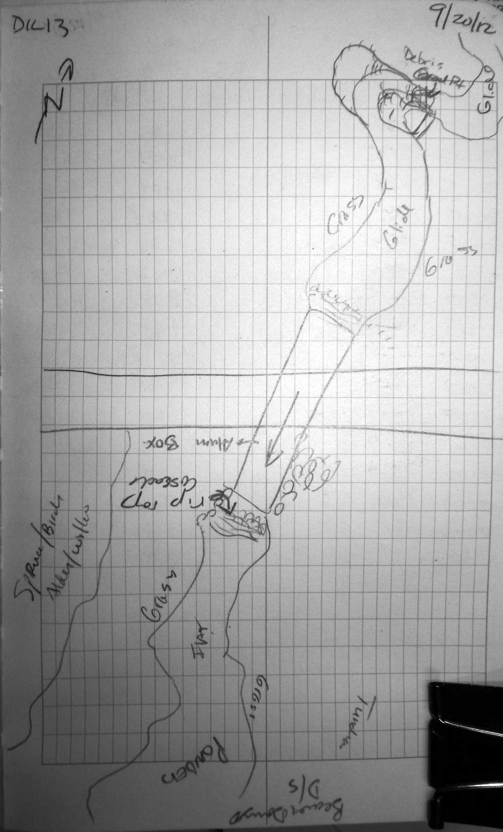
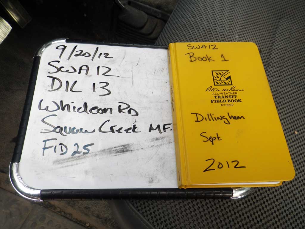
Survey SWA12-DIL13
Project Supervisor: Gillian O'Doherty, Alaska Department of Fish and Game
— Anchorage, AK
Observers: Gillian O'Doherty, Mark Eisenman
Overall Fish Passage Rating:
Tidal: No
Backwatered: No
Step Pools: No
Construction Year: 1999
Site Observations:
- Beaver Activity
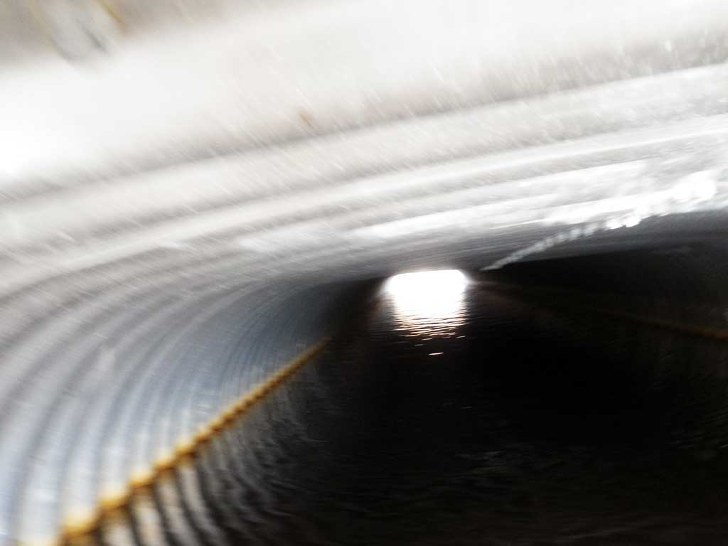
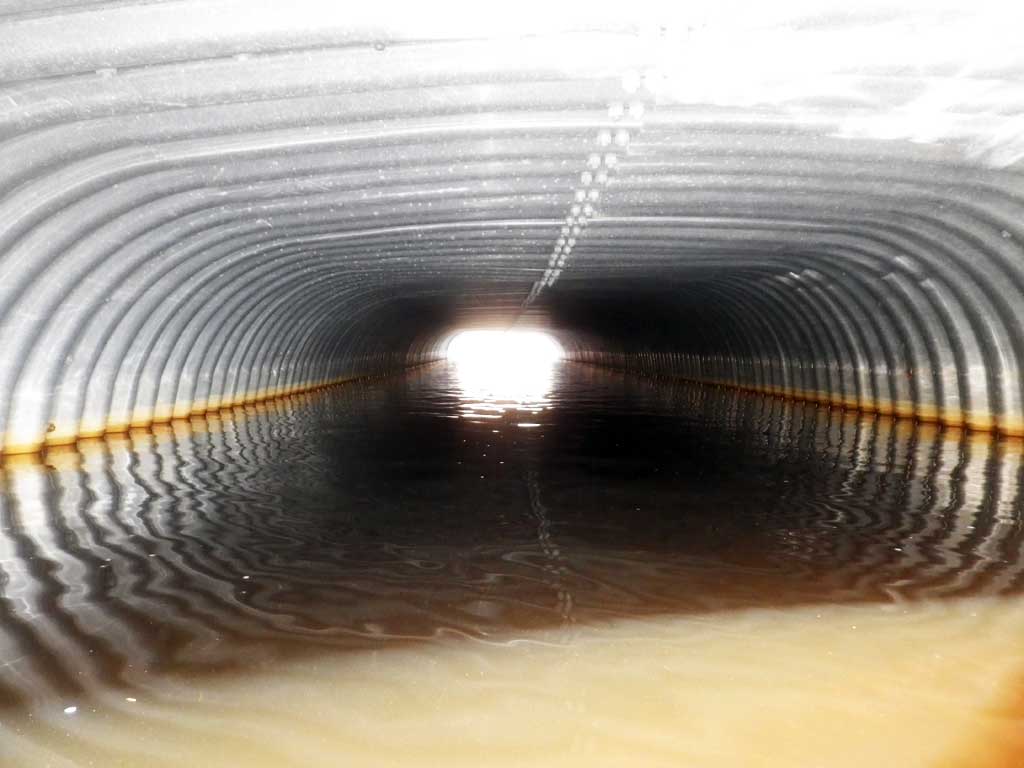
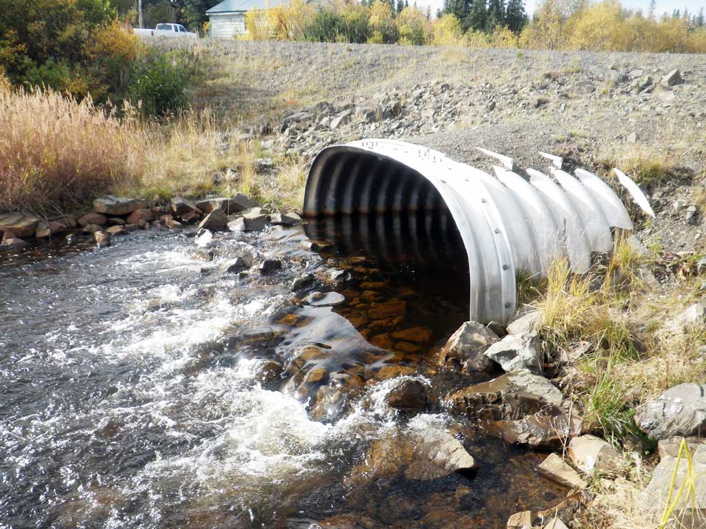
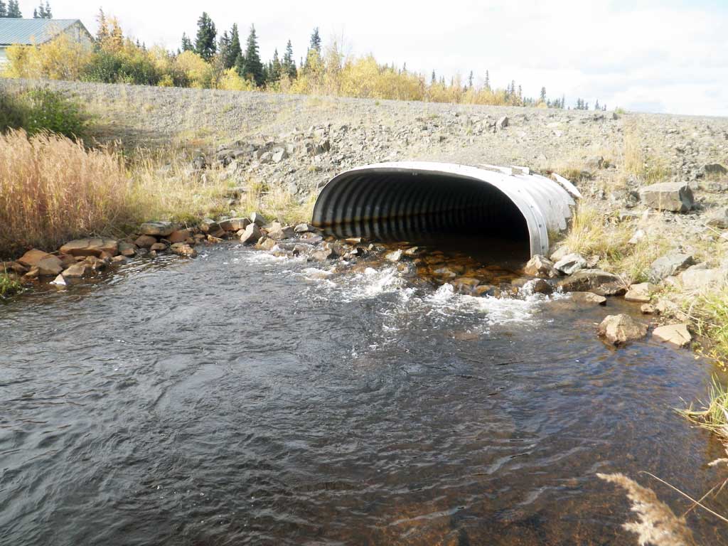
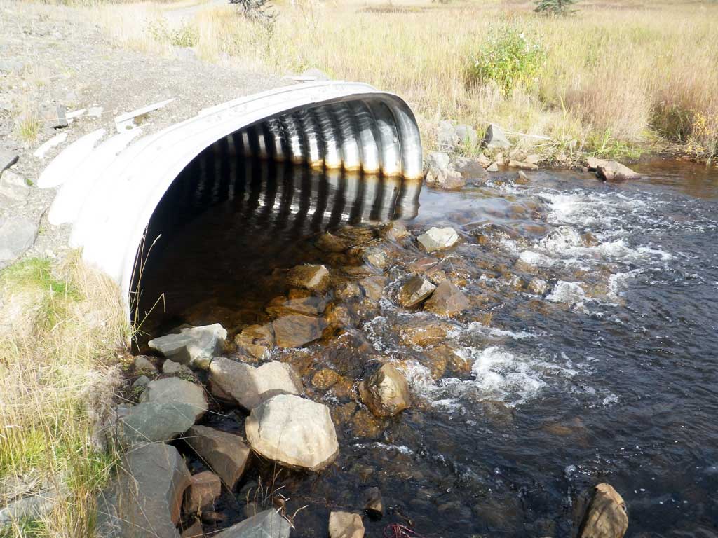
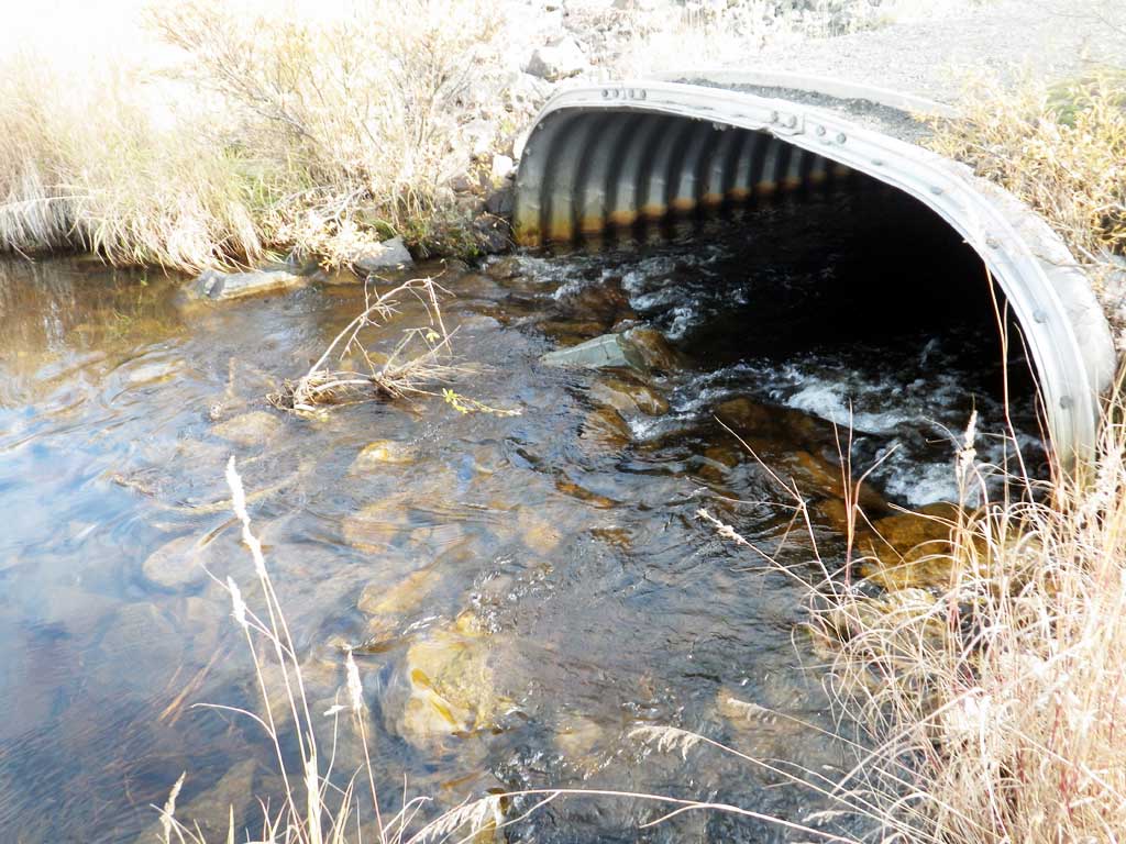
- Culvert is poorly aligned
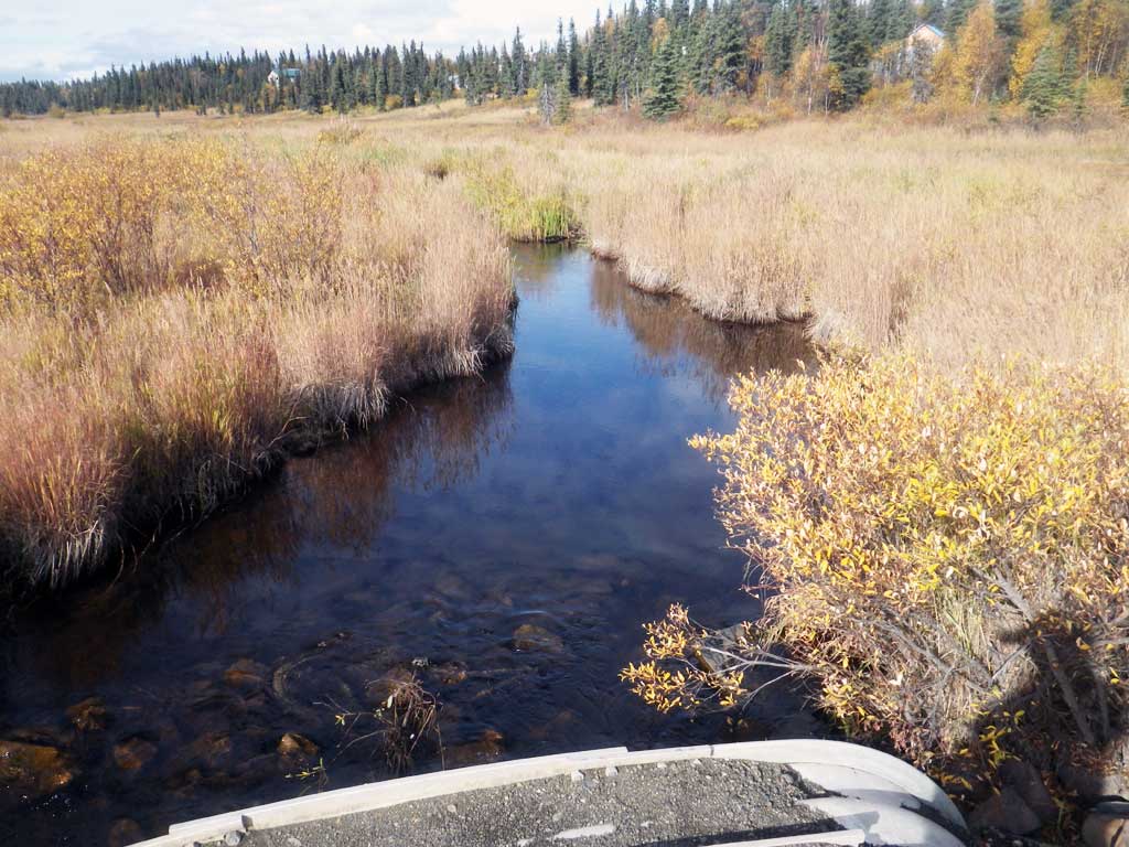
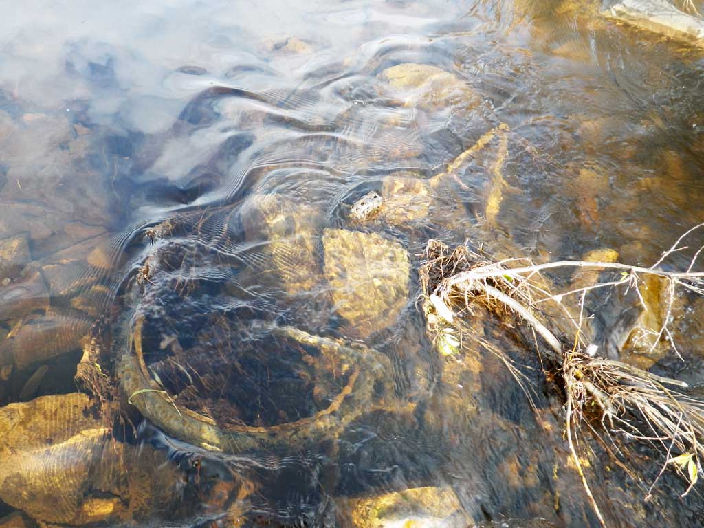
Comments: Big riprap weir at inlet ponding water upstream. Couldn't measure depth of substrate because of riprap. Does not seem to be any substrate inside pipe except mud. Riprap weir/ramp at outlet also. Mostly backwatered by beaver dam at time of survey. Rated gray because of rock ramp at outlet. Currently backwatered because of beavers.Too deep to wade in places, so no distance measurements on stream widths. All measurements 100+ feet upstream.
Culvert Measurements
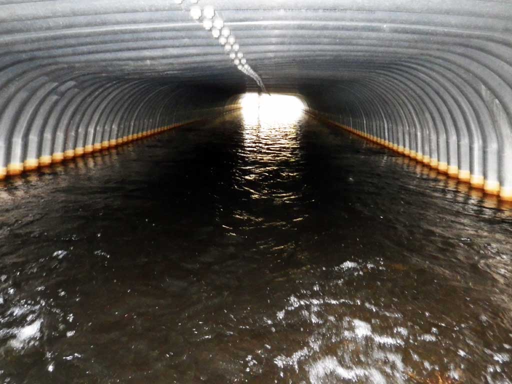
| ID: 1 | Structure Type: Box culvert (Structural aluminum plate) | Fish Passage Rating: | |||||||||||||||||||||||||||||||||||||||||
|
|
|
|||||||||||||||||||||||||||||||||||||||||
Comments: No stream gradient: ponded.Rust line height: N/A. Substrate depths approximate. |
|||||||||||||||||||||||||||||||||||||||||||
Culvert Observations:
|
|||||||||||||||||||||||||||||||||||||||||||
Stream Measurements
|
|
| Stream Width Type | Distance From Crossing (ft) |
Stream Width (ft) |
|---|---|---|
| Upstream ordinary high water | 11.00 | |
| Upstream ordinary high water | 8.10 | |
| Upstream ordinary high water | 7.00 | |
| Upstream ordinary high water | 9.00 |
Elevations
| Locator ID | Culvert Number |
River Distance (ft)1 |
Distance From Crossing (ft)2 |
Relative Elevation (ft) |
|---|---|---|---|---|
| Road Elev | 106.85 | |||
| D/S Thalweg | 0.00 | 95.64 | ||
| D/S Water Surface Elev | 0.00 | 98.76 | ||
| D/S Water Surface Elev | 28.00 | 99.26 | ||
| D/S Tailcrest or 1st Thalweg | 28.00 | 98.16 | ||
| Outlet Culvert Top | 30.00 | 102.52 | ||
| D/S Water Surface Elev | 30.00 | 99.28 | ||
| Outlet Invert (riprap) | 30.00 | 97.42 | ||
| Inlet Culvert Invert (riprap) | 130.90 | 98.86 | ||
| U/S Water Surface Elev | 130.90 | 99.30 | ||
| Inlet Culvert Top | 130.90 | 102.64 | ||
| U/S Water Surface Elev | 136.90 | 99.65 | ||
| U/S Grade Ctrl (Thalweg) | 136.90 | 98.99 | ||
| U/S Thalweg | 140.90 | 98.14 | ||
| U/S Water Surface Elev | 140.90 | 99.80 |
Notes:
- River distance is measured continuously throughout the survey reach along the thalweg of the stream.
- Measured from each end of the crossing along the thalweg of the stream.
Fish Sampling Efforts
| Gear Type: Visual Observation, Ground (A) | ||
| Comments: No traps set, no fish observed. | ||
Fish Observations
No fish observations occurred during this survey.
Photos
Questions or comments about this report can be directed to dfg.dsf.webmaster@alaska.gov