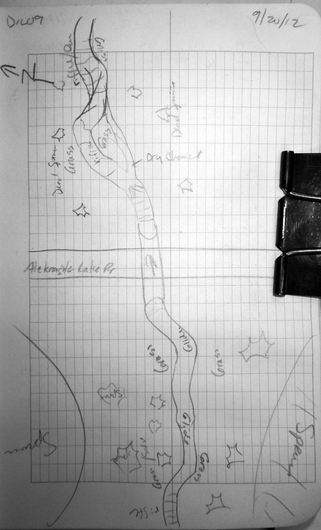
Fish Passage Site 30303071
Coordinates (dec. deg.): 59.15233°, -158.63380°
Legal Description: S012S056W12
Region: Southwest
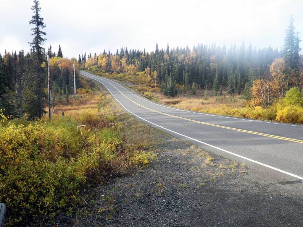
Road Name: Aleknagik Lake Road
Datum: NAD83
Quad Name / ITM: Dillingham A-8
AWC Stream #: 325-30-10100-2031-3029
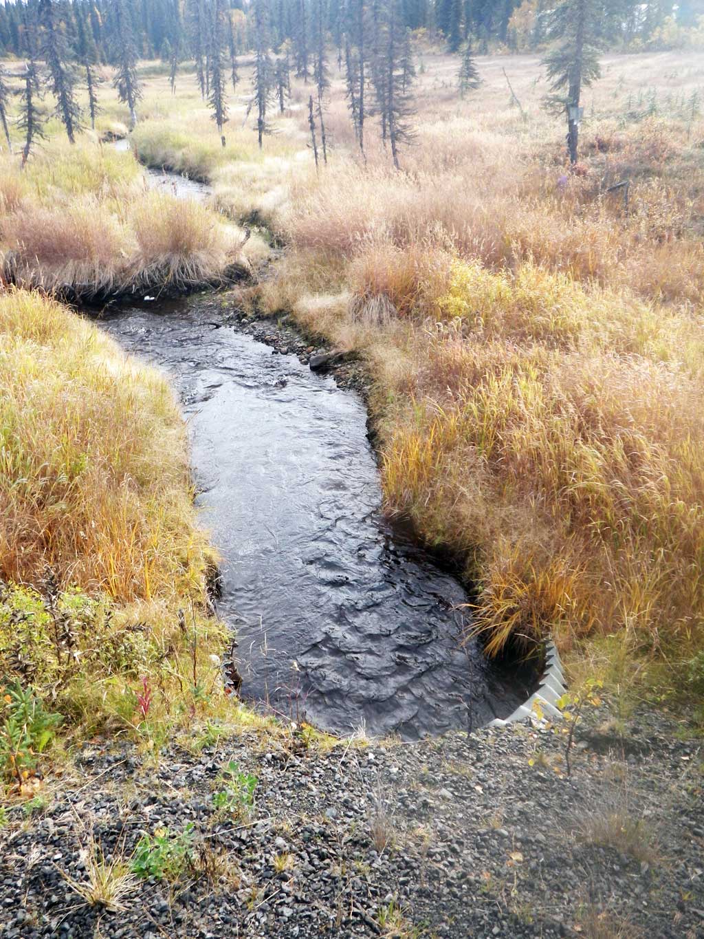
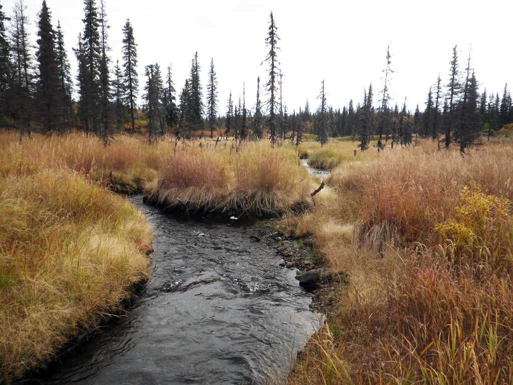
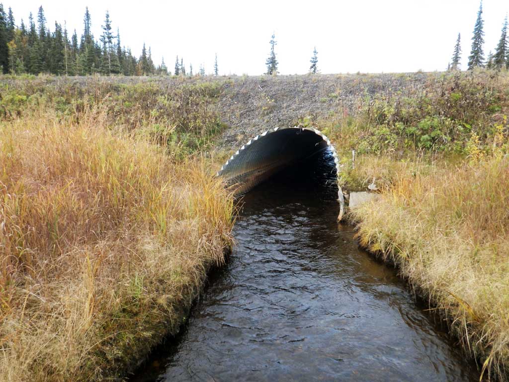
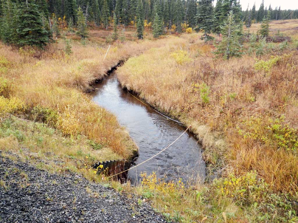
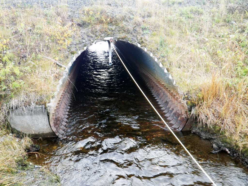
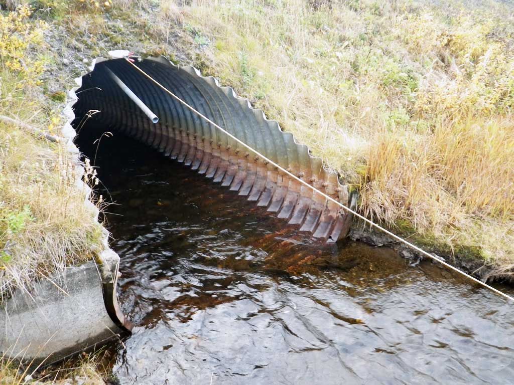
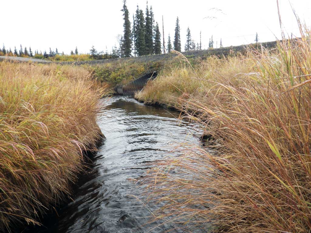
Stream Name: Belt Creek
Elevation:
Site Comments: None
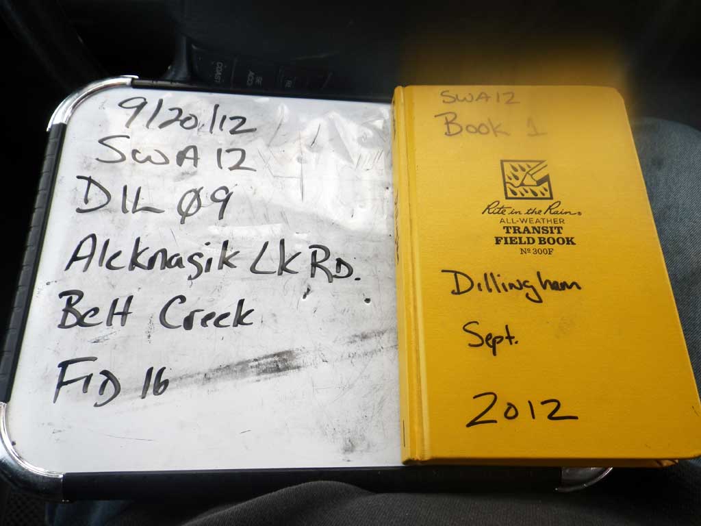
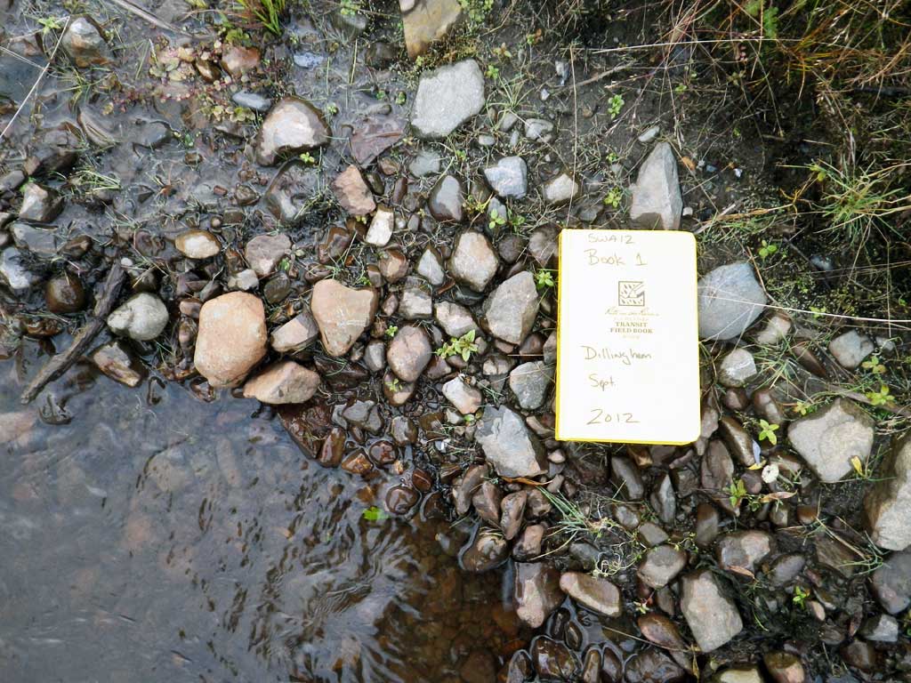
Survey SWA12-DIL09
Project Supervisor: Gillian O'Doherty, Alaska Department of Fish and Game
— Anchorage, AK
Observers: Gillian O'Doherty, Mark Eisenman
Overall Fish Passage Rating:
Tidal: No
Backwatered: No
Step Pools: No
Construction Year:
Site Observations:
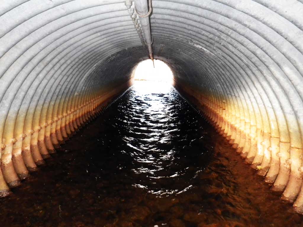
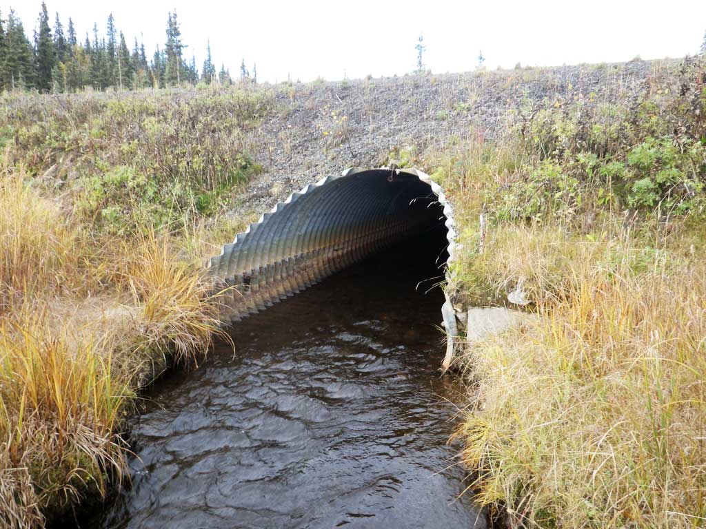
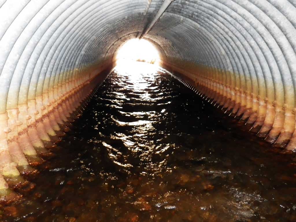
- Culvert gradient gray
- Culvert is poorly aligned
Comments: None
Culvert Measurements
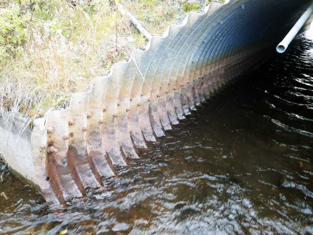
| ID: 1 | Structure Type: Pipe-arch (Structural steel plate) | Fish Passage Rating: | |||||||||||||||||||||||||||||||||||||||||
|
|
|
|||||||||||||||||||||||||||||||||||||||||
Comments: Top of miter length is 41.6 feet. |
|||||||||||||||||||||||||||||||||||||||||||
Culvert Observations:
|
|||||||||||||||||||||||||||||||||||||||||||
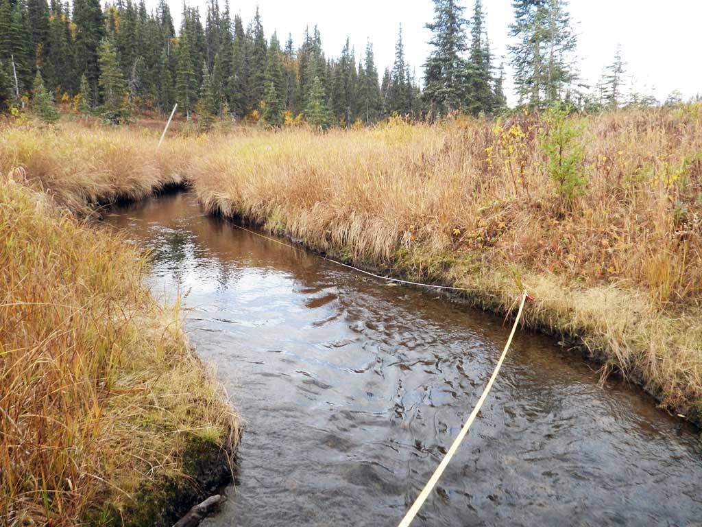
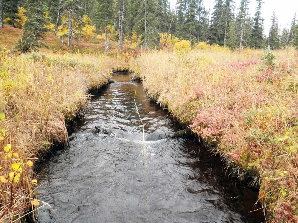
Stream Measurements
|
|
| Stream Width Type | Distance From Crossing (ft) |
Stream Width (ft) |
|---|---|---|
| Upstream ordinary high water | 65.0 | 5.20 |
| Upstream ordinary high water | 100.0 | 5.00 |
| Upstream ordinary high water | 175.0 | 5.70 |
| Upstream ordinary high water | 205.0 | 5.30 |
Elevations
| Locator ID | Culvert Number |
River Distance (ft)1 |
Distance From Crossing (ft)2 |
Relative Elevation (ft) |
|---|---|---|---|---|
| Road Elev | 100.00 | |||
| D/S Grade Ctrl (Thalweg) | 0.00 | 89.99 | ||
| D/S Water Surface Elev | 0.00 | 91.14 | ||
| D/S Grade Ctrl (Thalweg) | 26.00 | 90.79 | ||
| D/S Water Surface Elev | 26.00 | 91.55 | ||
| D/S Water Surface Elev | 34.00 | 91.54 | ||
| D/S Tailcrest or 1st Thalweg | 34.00 | 90.71 | ||
| Max Pool Depth | 40.00 | 89.77 | ||
| D/S Water Surface Elev | 40.00 | 91.57 | ||
| D/S Water Surface Elev | 44.00 | 91.59 | ||
| Outlet Invert (pipe) | 44.00 | 90.70 | ||
| Outlet Culvert Top (top of miter) | 50.00 | 95.91 | ||
| Inlet Culvert Top (top of miter) | 91.60 | 96.27 | ||
| U/S Water Surface Elev | 97.60 | 91.94 | ||
| Inlet Culvert Invert (pipe) | 97.60 | 91.37 | ||
| U/S Grade Ctrl (Thalweg) | 113.60 | 91.42 | ||
| U/S Water Surface Elev | 113.60 | 92.03 | ||
| U/S Water Surface Elev (sg) | 167.60 | 92.09 | ||
| U/S Water Surface Elev (sg) | 289.60 | 92.87 |
Notes:
- River distance is measured continuously throughout the survey reach along the thalweg of the stream.
- Measured from each end of the crossing along the thalweg of the stream.
Fish Sampling Efforts
| Gear Type: Visual Observation, Ground (A) | ||
| Comments: No traps set, no fish observed. | ||
Fish Observations
No fish observations occurred during this survey.
Photos
Questions or comments about this report can be directed to dfg.dsf.webmaster@alaska.gov