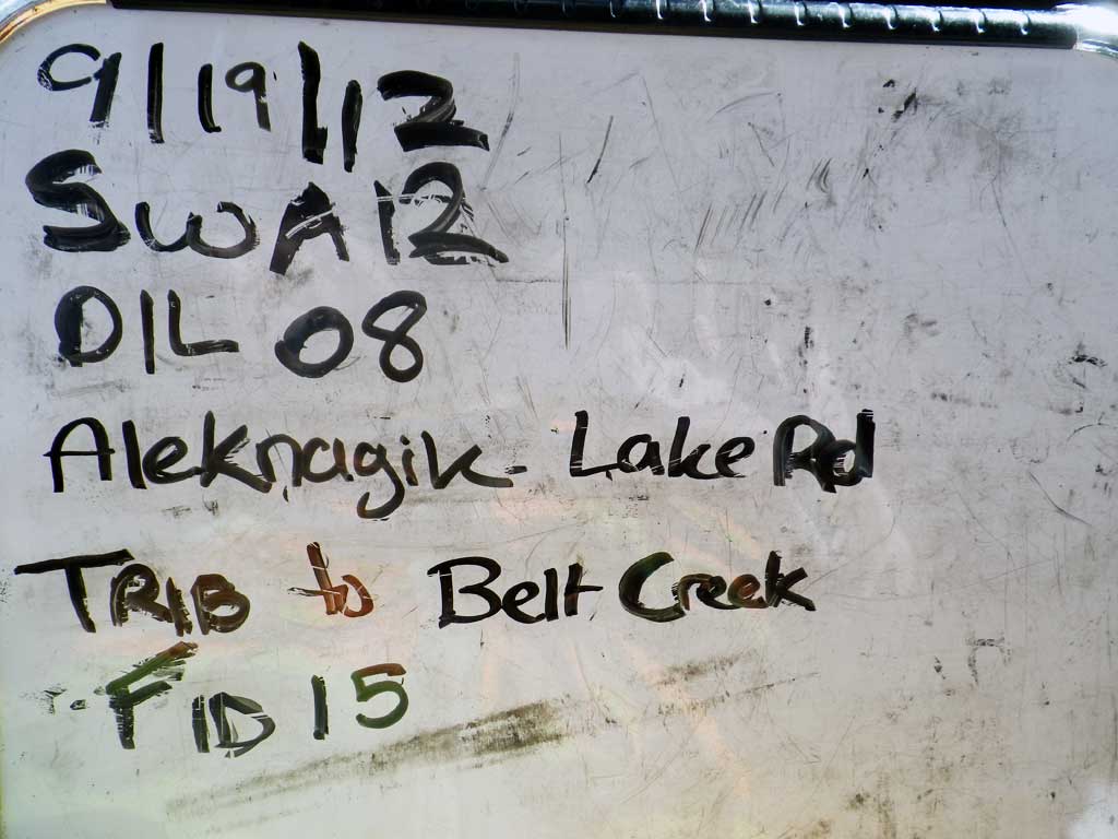
Fish Passage Site 30303070
Coordinates (dec. deg.): 59.15761°, -158.63550°
Legal Description: S012S056W12
Region: Southwest
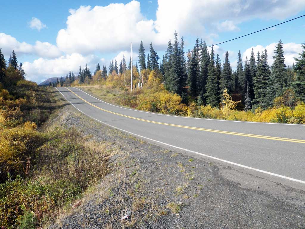
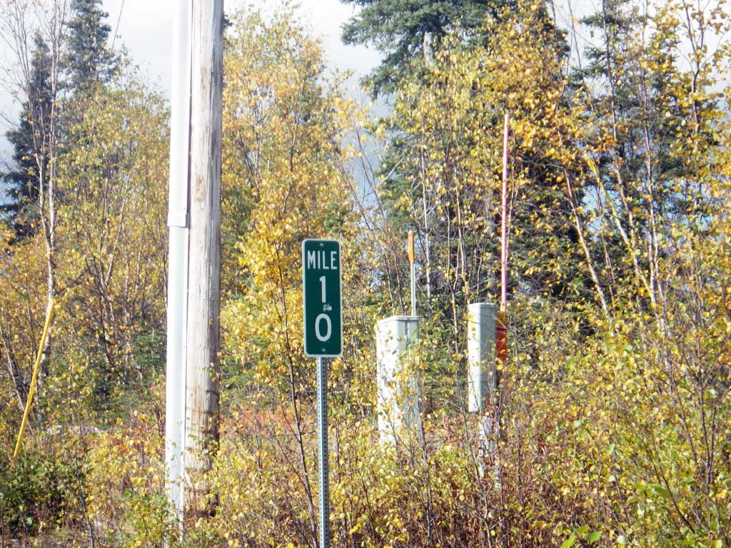
Road Name: Aleknagik Lake Road
Datum: NAD83
Quad Name / ITM: Dillingham A-8
AWC Stream #:
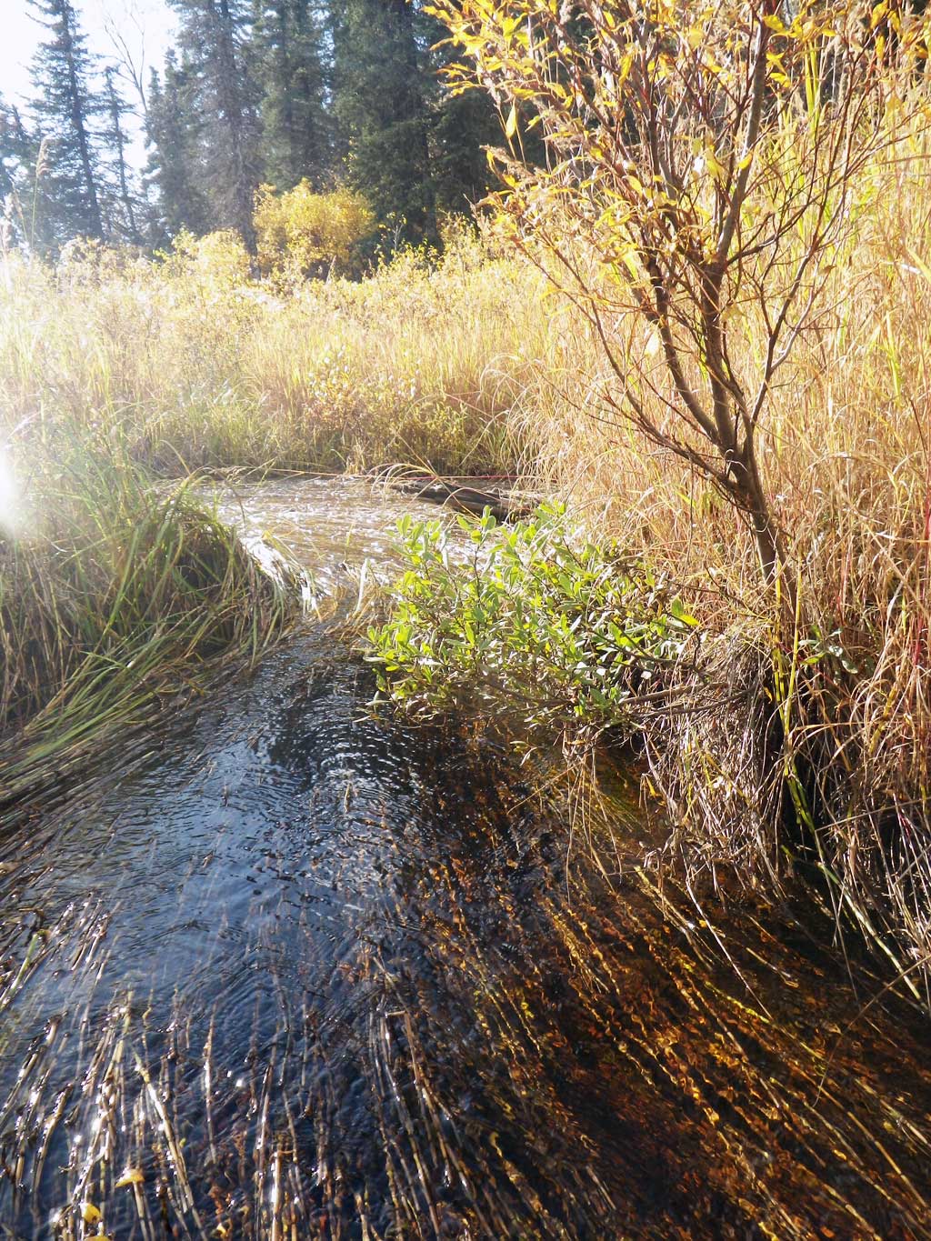
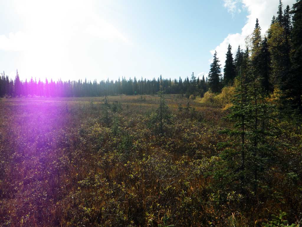
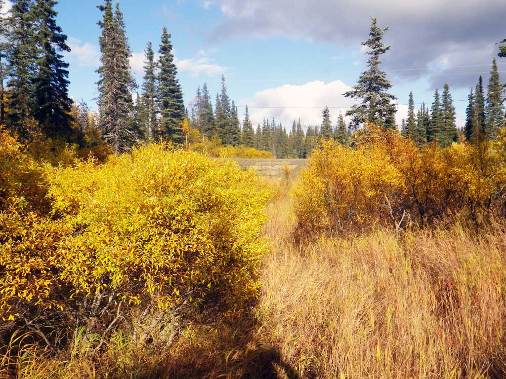
Stream Name: Belt Creek tributary
Elevation:
Site Comments: None
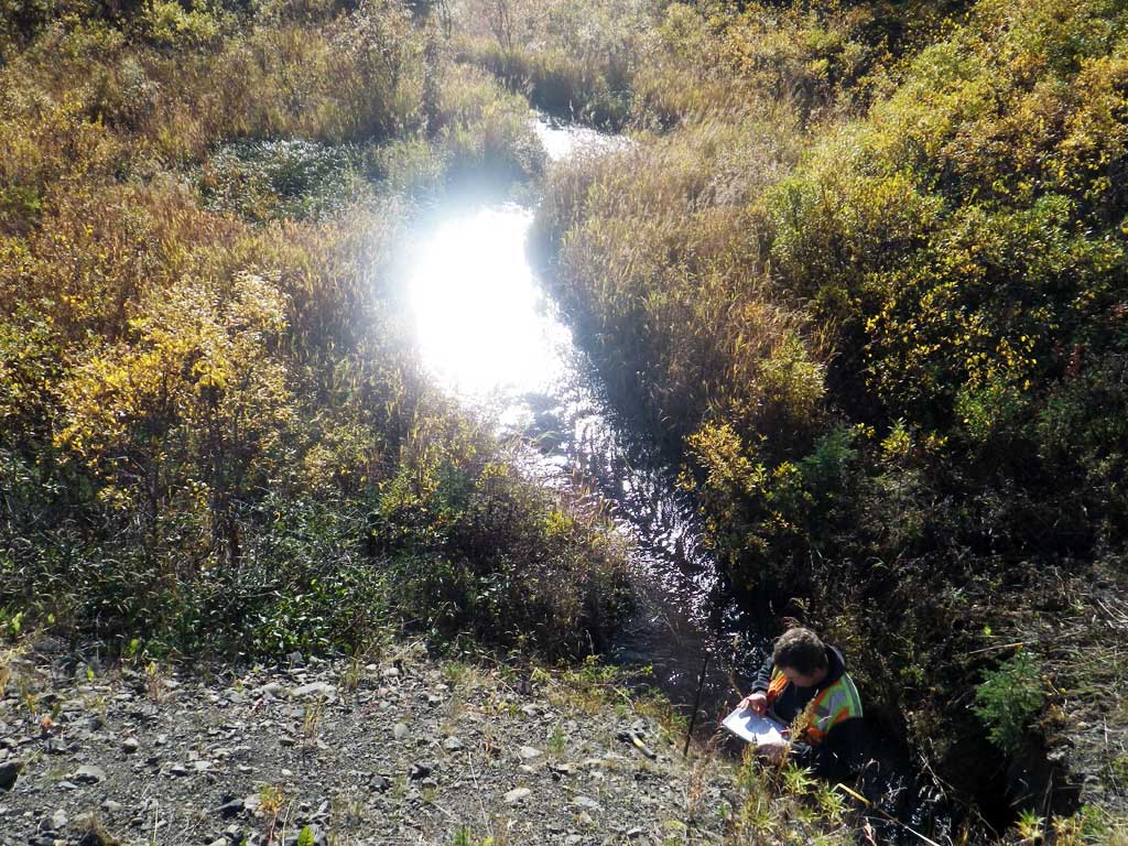
Survey SWA12-DIL08
Project Supervisor: Gillian O'Doherty, Alaska Department of Fish and Game
— Anchorage, AK
Observers: Gillian O'Doherty, Mark Eisenman
Overall Fish Passage Rating:
Tidal: No
Backwatered: No
Step Pools: No
Construction Year:
Site Observations:
- Outfall height red
- Culvert gradient gray
- Beaver Activity
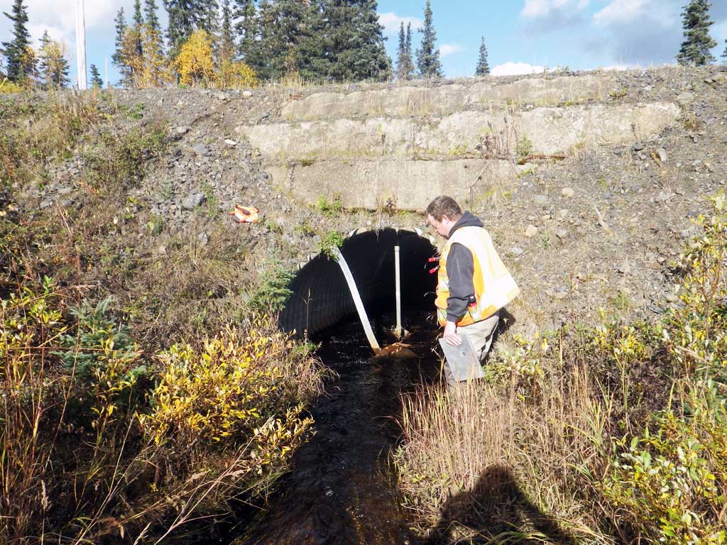
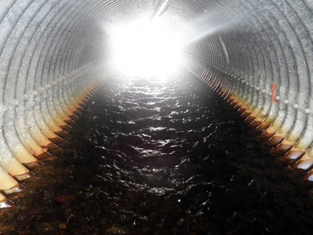
Comments: Substrate depth at inlet is at end of miter. Height and width also at end of miter. Creek most likely steeper upstream.
Culvert Measurements
| ID: 1 | Structure Type: Pipe-arch (Structural steel plate) | Fish Passage Rating: | |||||||||||||||||||||||||||||||||||||||||
|
|
|
|||||||||||||||||||||||||||||||||||||||||
Comments: Top of miter length is 43.5 feet. |
|||||||||||||||||||||||||||||||||||||||||||
Culvert Observations:
|
|||||||||||||||||||||||||||||||||||||||||||
Stream Measurements
|
|
| Stream Width Type | Distance From Crossing (ft) |
Stream Width (ft) |
|---|---|---|
| Upstream ordinary high water | 38.0 | 5.20 |
| Upstream ordinary high water | 66.0 | 5.20 |
| Upstream ordinary high water | 103.0 | 3.40 |
Elevations
| Locator ID | Culvert Number |
River Distance (ft)1 |
Distance From Crossing (ft)2 |
Relative Elevation (ft) |
|---|---|---|---|---|
| Road Elev | 100.00 | |||
| D/S Grade Ctrl (Thalweg) | 0.00 | 86.02 | ||
| D/S Water Surface Elev | 0.00 | 86.51 | ||
| D/S Water Surface Elev | 21.00 | 86.92 | ||
| D/S Tailcrest or 1st Thalweg (tailwater control) | 21.00 | 86.47 | ||
| Max Pool Depth | 26.00 | 85.81 | ||
| D/S Water Surface Elev | 26.00 | 87.01 | ||
| Outlet Invert (on pipe) | 29.00 | 87.69 | ||
| D/S Water Surface Elev | 29.00 | 88.09 | ||
| Outlet Culvert Top | 35.00 | 92.81 | ||
| Inlet Culvert Top | 78.50 | 93.40 | ||
| U/S Water Surface Elev | 85.50 | 88.99 | ||
| Inlet Culvert Invert (on substrate) | 85.50 | 88.36 | ||
| U/S Grade Ctrl (Thalweg) (in horsetail section on head of inlet riffle) | 111.50 | 88.76 | ||
| U/S Water Surface Elev | 111.50 | 89.38 | ||
| U/S Water Surface Elev | 180.50 | 89.77 | ||
| U/S Grade Ctrl (Thalweg) | 180.50 | 88.87 |
Notes:
- River distance is measured continuously throughout the survey reach along the thalweg of the stream.
- Measured from each end of the crossing along the thalweg of the stream.
Fish Sampling Efforts
| Gear Type: Visual Observation, Ground (A) | ||
| Comments: No traps set, no fish observed. | ||
Fish Observations
No fish observations occurred during this survey.
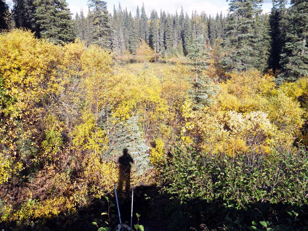
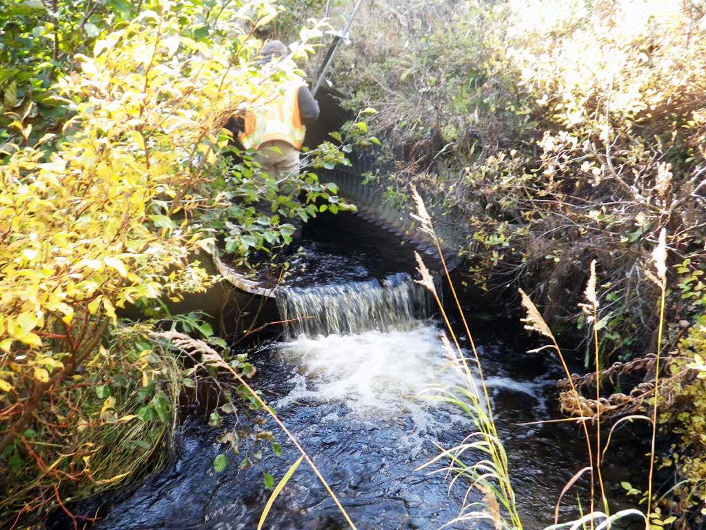
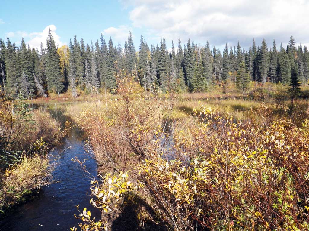
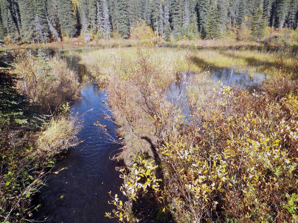
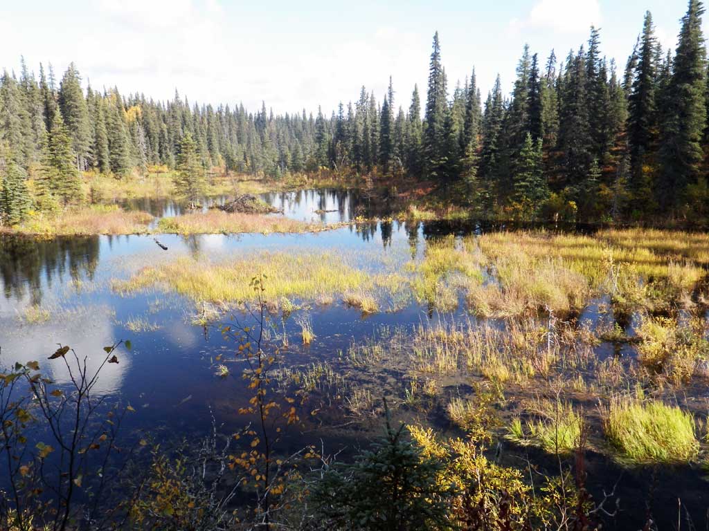
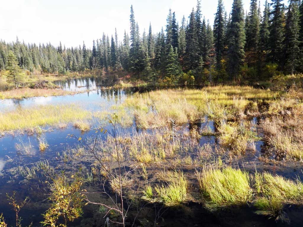
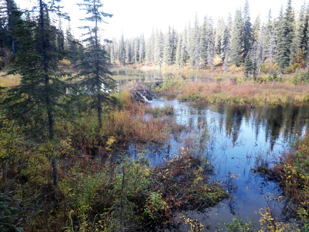
Photos

Questions or comments about this report can be directed to dfg.dsf.webmaster@alaska.gov