Fish Passage Site 30303069
Coordinates (dec. deg.): 59.16842°, -158.65800°
Legal Description: S012S056W02
Region: Southwest
Road Name: Aleknagik Lake Road
Datum: NAD83
Quad Name / ITM: Dillingham A-8
AWC Stream #:
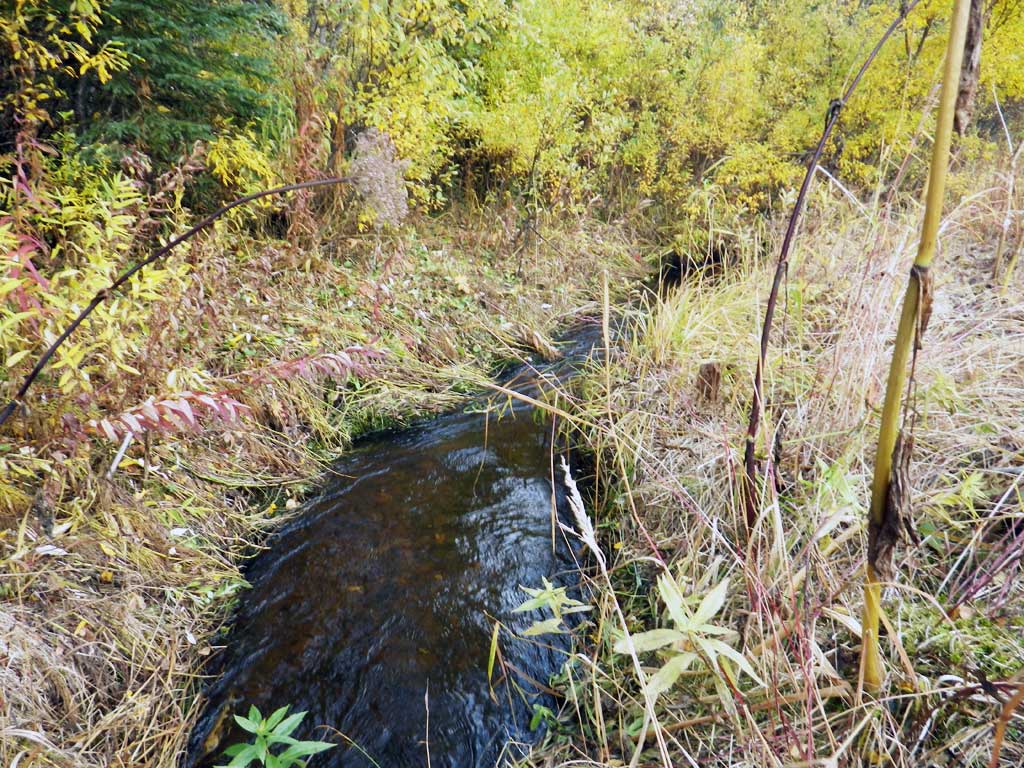
Stream Name: Belt Creek tributary
Elevation:
Site Comments: None
Survey SWA12-DIL07
Project Supervisor: Gillian O'Doherty, Alaska Department of Fish and Game
— Anchorage, AK
Observers: Gillian O'Doherty, Mark Eisenman
Overall Fish Passage Rating:
Tidal: No
Backwatered: No
Step Pools: No
Construction Year:
Site Observations:
- Culvert is poorly aligned
Comments: Substrate not continuous through pipe. Large pipe. Sediment and road gravels at outlet caught by broken thaw pipe. Culvert close to embedded. Inlet slightly damaged and gradient close to green.
Culvert Measurements
| ID: 1 | Structure Type: Pipe-arch (Structural steel plate) | Fish Passage Rating: | |||||||||||||||||||||||||||||||||||||||||
|
|
|
|||||||||||||||||||||||||||||||||||||||||
Comments: Gradient 1.02 is technically gray. Field rating green. Top of miter length is 39.5 feet. |
|||||||||||||||||||||||||||||||||||||||||||
Stream Measurements
|
|
| Stream Width Type | Distance From Crossing (ft) |
Stream Width (ft) |
|---|---|---|
| Upstream ordinary high water | 45.0 | 3.90 |
| Upstream ordinary high water | 74.0 | 4.80 |
| Upstream ordinary high water | 112.0 | 5.10 |
Elevations
| Locator ID | Culvert Number |
River Distance (ft)1 |
Distance From Crossing (ft)2 |
Relative Elevation (ft) |
|---|---|---|---|---|
| Road Elev | 100.00 | |||
| D/S Grade Ctrl (Thalweg) (little falls) | 0.00 | 90.86 | ||
| D/S Water Surface Elev | 0.00 | 91.42 | ||
| D/S Grade Ctrl (Thalweg) (channel heads right from outlet area) | 41.00 | 91.19 | ||
| D/S Water Surface Elev | 41.00 | 92.04 | ||
| D/S Water Surface Elev | 47.00 | 92.09 | ||
| Outlet Invert (on substrate) | 47.00 | 91.52 | ||
| Outlet Culvert Top | 53.00 | 95.81 | ||
| Inlet Culvert Top (damaged a bit) | 92.50 | 96.23 | ||
| Inlet Culvert Invert (on substrate) | 98.50 | 91.38 | ||
| U/S Water Surface Elev | 98.50 | 92.56 | ||
| U/S Water Surface Elev | 143.50 | 92.75 | ||
| U/S Grade Ctrl (Thalweg) | 143.50 | 91.79 | ||
| U/S Grade Ctrl (Thalweg) | 198.50 | 92.77 | ||
| U/S Water Surface Elev | 198.50 | 93.44 |
Notes:
- River distance is measured continuously throughout the survey reach along the thalweg of the stream.
- Measured from each end of the crossing along the thalweg of the stream.
Fish Sampling Efforts
| Gear Type: Visual Observation, Ground (A) | ||
| Comments: No traps set, no fish observed. | ||
Fish Observations
No fish observations occurred during this survey.
Photos


Questions or comments about this report can be directed to dfg.dsf.webmaster@alaska.gov

