Fish Passage Site 30303068
Coordinates (dec. deg.): 59.18661°, -158.76173°
Legal Description: S011S056W32
Region: Southwest
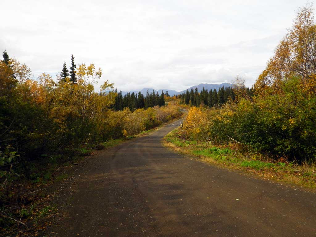
Road Name: Snake Lake Road
Datum: NAD83
Quad Name / ITM: Dillingham A-8
AWC Stream #:
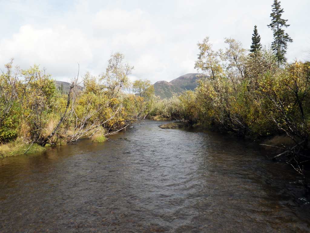
Stream Name: Snake River tributary
Elevation:
Site Comments: None
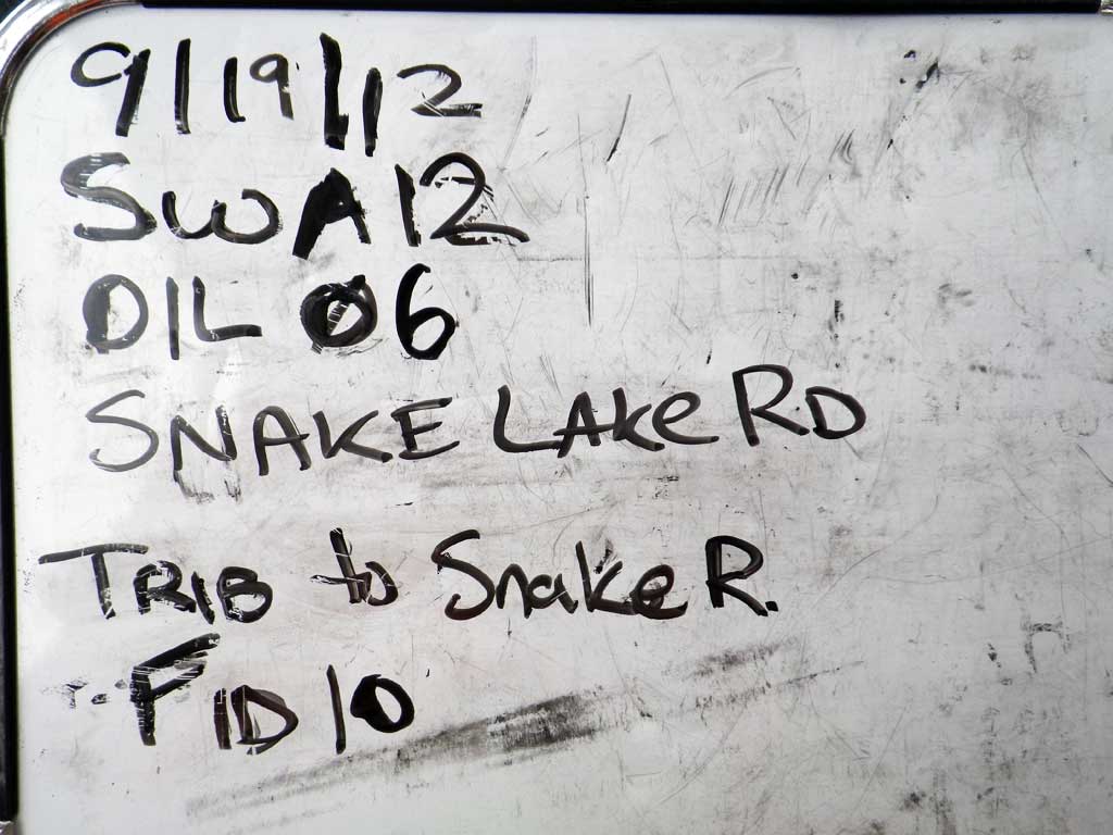
Survey SWA12-DIL06
Project Supervisor: Gillian O'Doherty, Alaska Department of Fish and Game
— Anchorage, AK
Observers: Gillian O'Doherty, Mark Eisenman
Overall Fish Passage Rating:
Tidal: No
Backwatered: No
Step Pools: No
Construction Year:
Site Observations:
- Culvert gradient gray
- Constriction ratio gray
- Inlet perch
- Beaver Activity
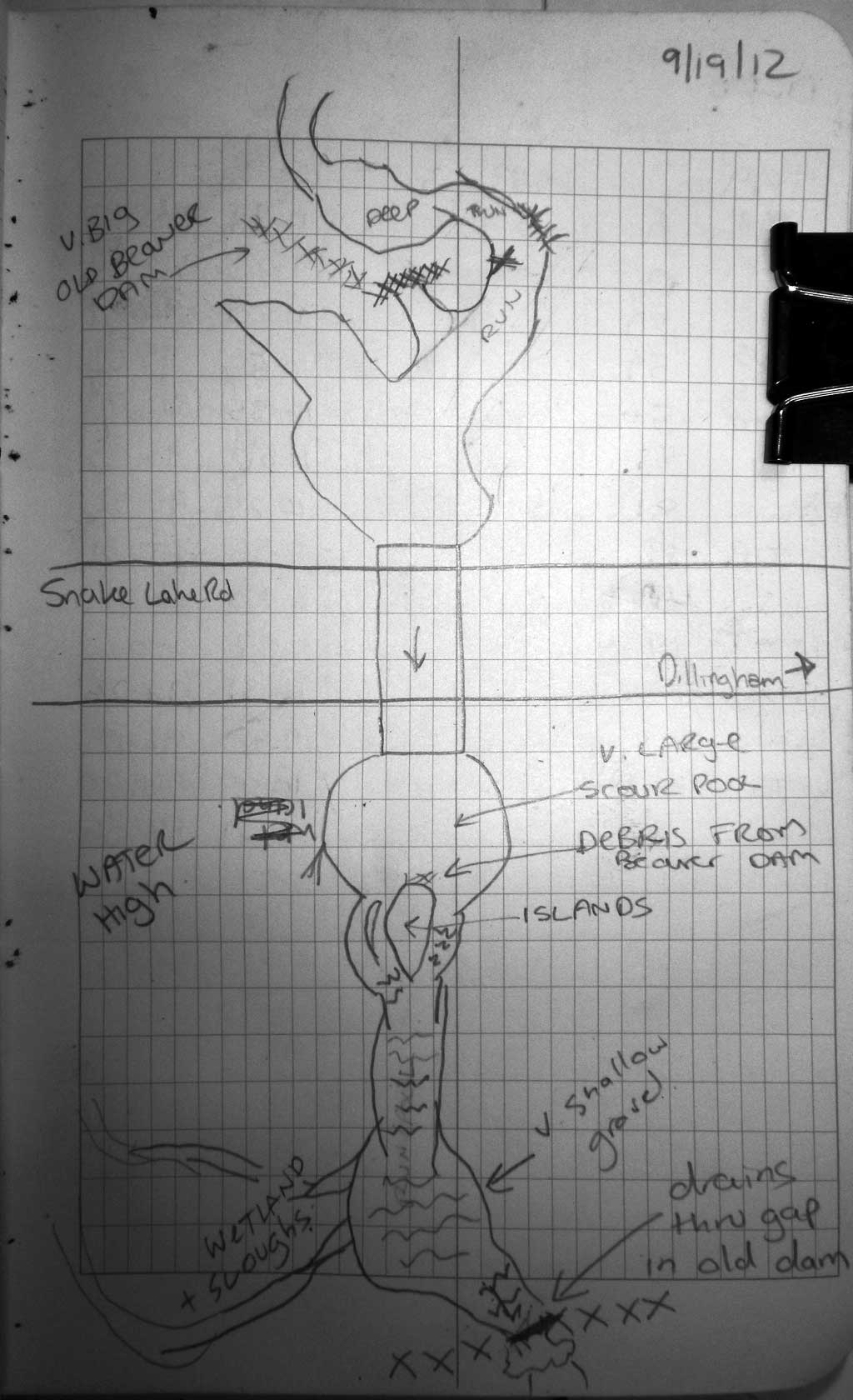
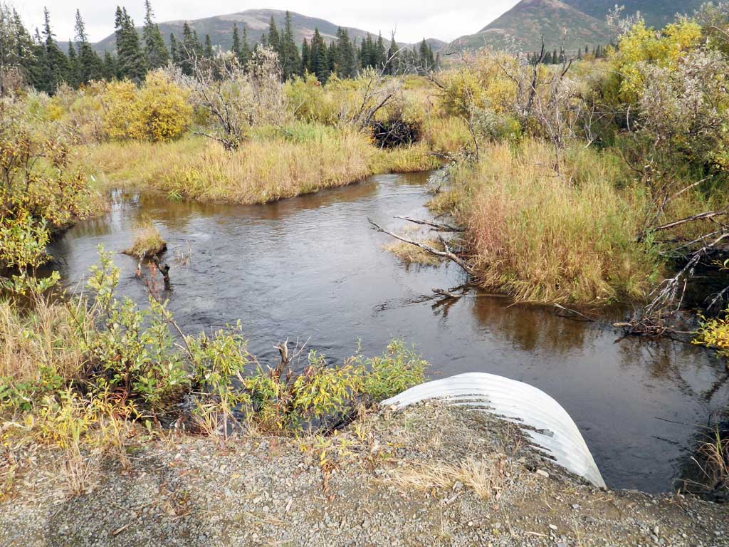
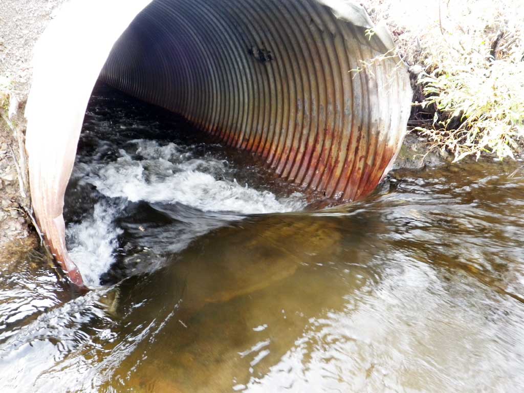
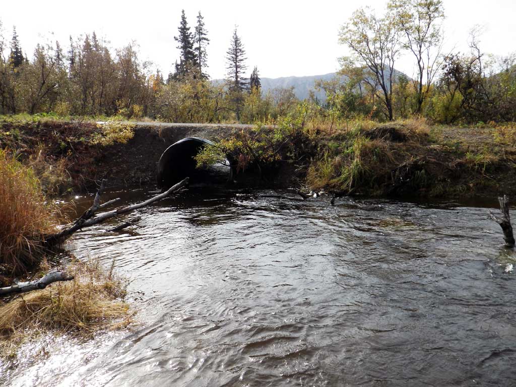
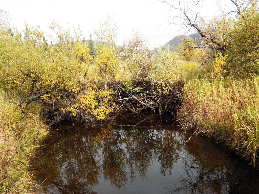
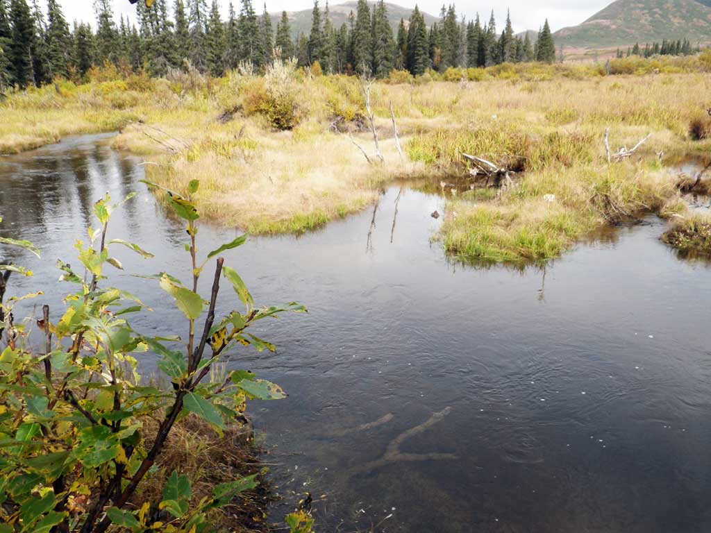
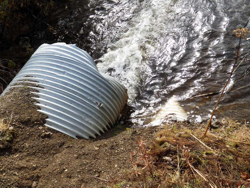
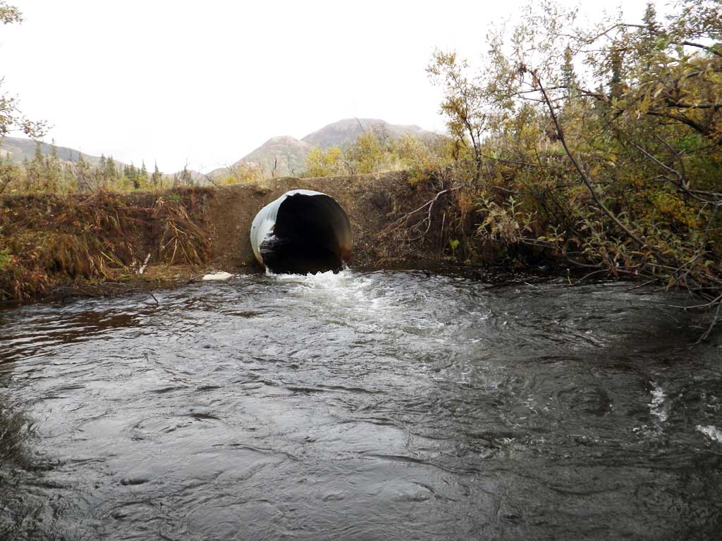
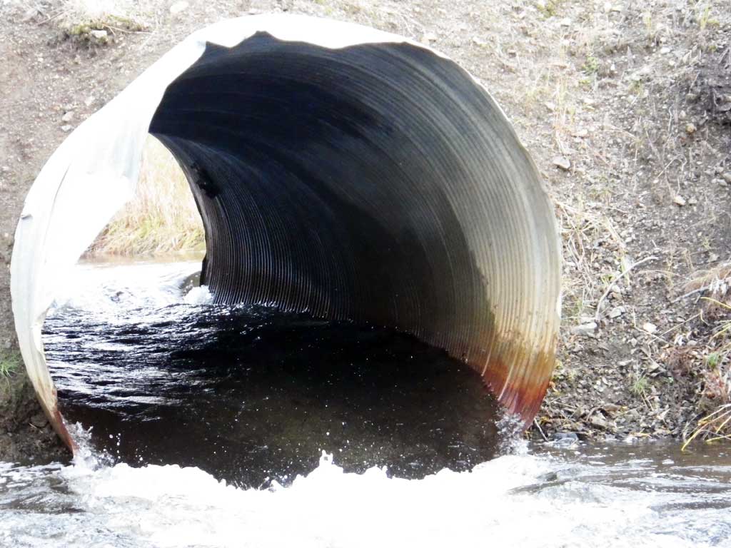
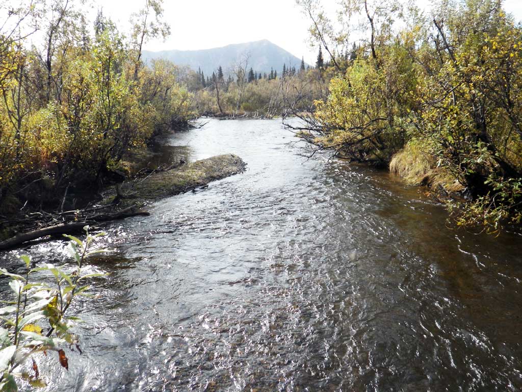
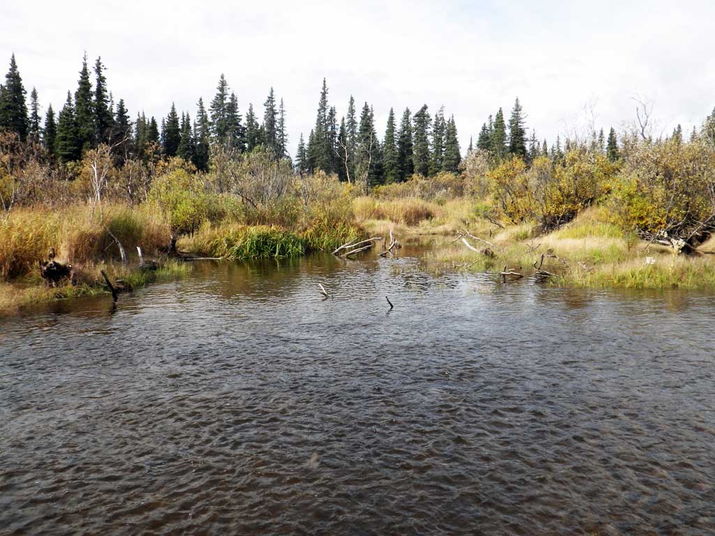
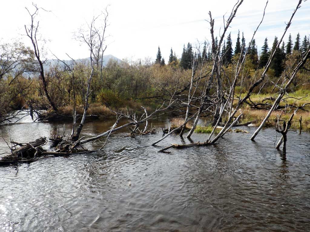
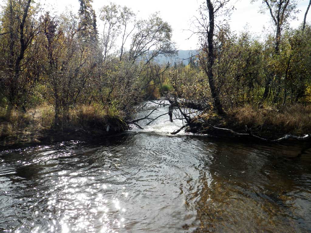
Comments: Constriction is definitiely an issue, especially at high flows. Upstream width approximately 12 to 14 feet. Old beaver dams upstream and downstream from culvert.
Culvert Measurements
| ID: 1 | Structure Type: Circular pipe (Corrugated steel) | Fish Passage Rating: | |||||||||||||||||||||||||||||||||||||||||
|
|
|
|||||||||||||||||||||||||||||||||||||||||
Culvert Observations:
|
|||||||||||||||||||||||||||||||||||||||||||
Stream Measurements
|
|
No stream width data available.
Elevations
| Locator ID | Culvert Number |
River Distance (ft)1 |
Distance From Crossing (ft)2 |
Relative Elevation (ft) |
|---|---|---|---|---|
| Road Elev | 100.97 | |||
| D/S Water Surface Elev | 0.00 | 96.54 | ||
| D/S Grade Ctrl (Thalweg) (head of d/s riffle through old pond) | 0.00 | 94.08 | ||
| D/S Water Surface Elev | 39.00 | 95.02 | ||
| D/S Tailcrest or 1st Thalweg (tailwater control; middle of channel 3) | 39.00 | 94.27 | ||
| Max Pool Depth (deepest point that could be measured; other spots may be deeper.) | 56.00 | 90.72 | ||
| Outlet Invert | 81.00 | 93.95 | ||
| D/S Water Surface Elev | 81.00 | 95.32 | ||
| Outlet Culvert Top | 81.00 | 100.01 | ||
| Inlet Culvert Top | 111.40 | 100.00 | ||
| U/S Water Surface Elev | 111.40 | 96.15 | ||
| Inlet Culvert Invert | 111.40 | 94.26 | ||
| U/S Water Surface Elev | 144.40 | 96.36 | ||
| U/S Grade Ctrl (Thalweg) (downstream of split channel; is run upstream for a long way) | 144.40 | 94.70 |
Notes:
- River distance is measured continuously throughout the survey reach along the thalweg of the stream.
- Measured from each end of the crossing along the thalweg of the stream.
Fish Sampling Efforts
| Gear Type: Visual Observation, Ground (A) | ||
| Comments: No traps set, no fish observed. | ||
Fish Observations
No fish observations occurred during this survey.
Photos

Questions or comments about this report can be directed to dfg.dsf.webmaster@alaska.gov