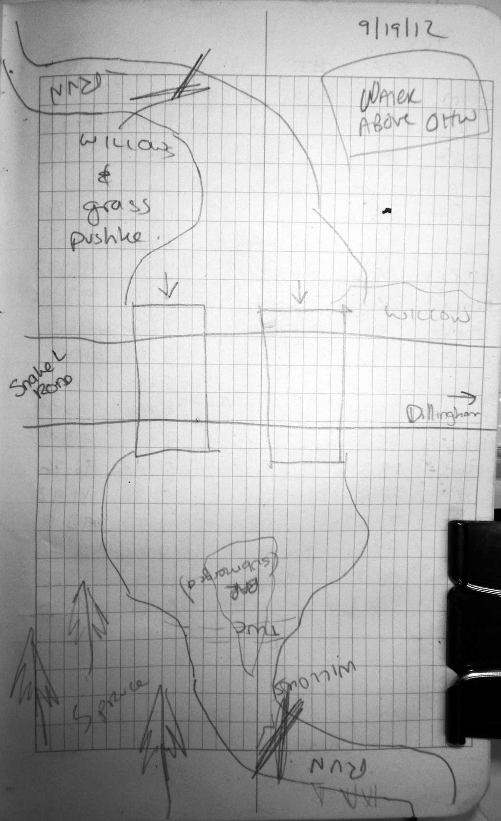
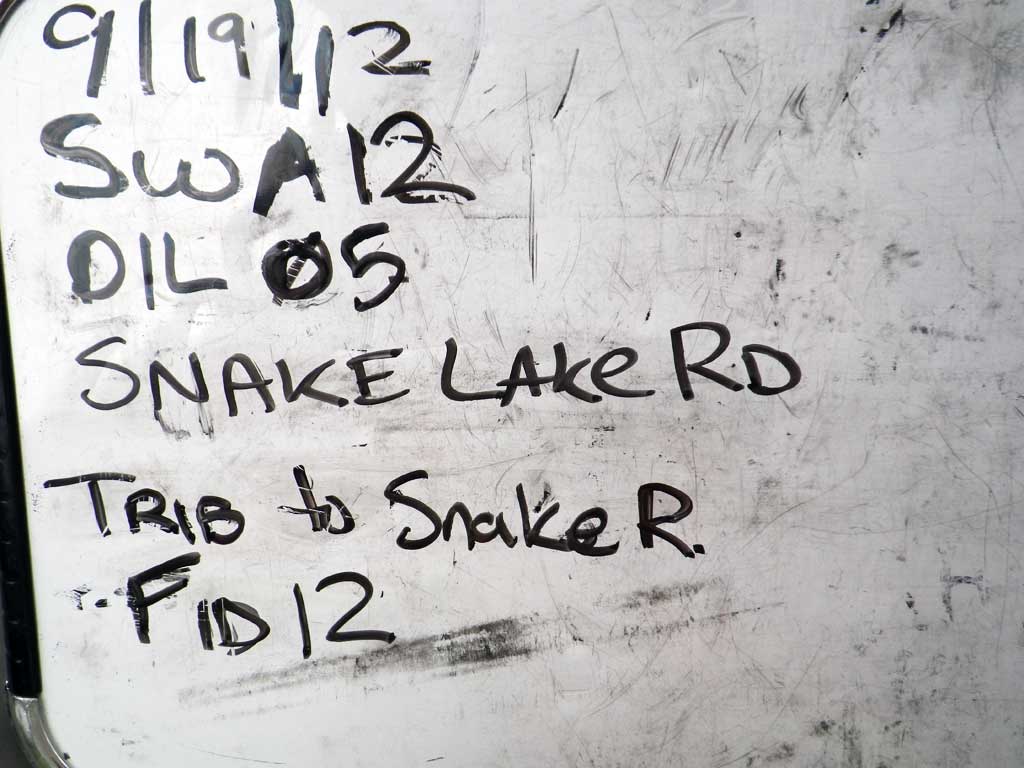
Fish Passage Site 30303067
Coordinates (dec. deg.): 59.19043°, -158.78955°
Legal Description: S011S056W30
Region: Southwest
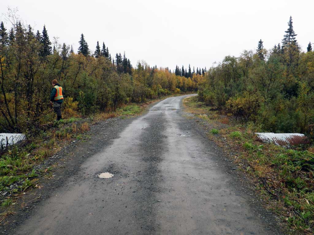
Road Name: Snake Lake Road
Datum: NAD83
Quad Name / ITM: Dillingham A-8
AWC Stream #:
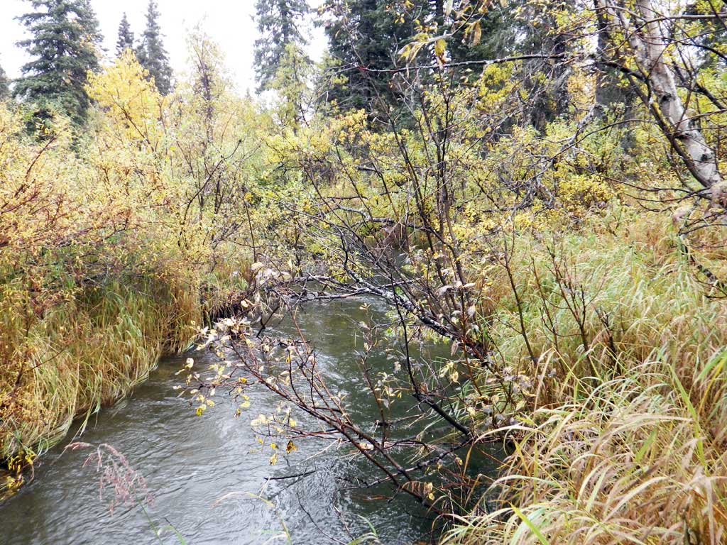
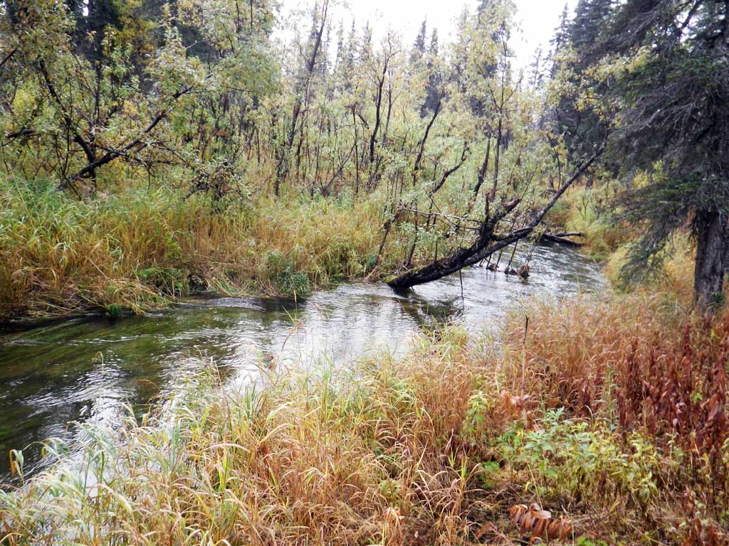
Stream Name: Snake River tributary
Elevation:
Site Comments: None
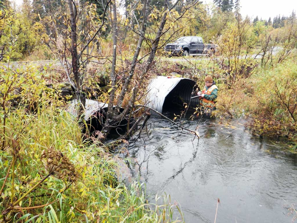
Survey SWA12-DIL05
Project Supervisor: Gillian O'Doherty, Alaska Department of Fish and Game
— Anchorage, AK
Observers: Gillian O'Doherty, Mark Eisenman
Overall Fish Passage Rating:
Tidal: No
Backwatered: Maybe
Step Pools: No
Construction Year:
Site Observations:
- Constriction ratio gray
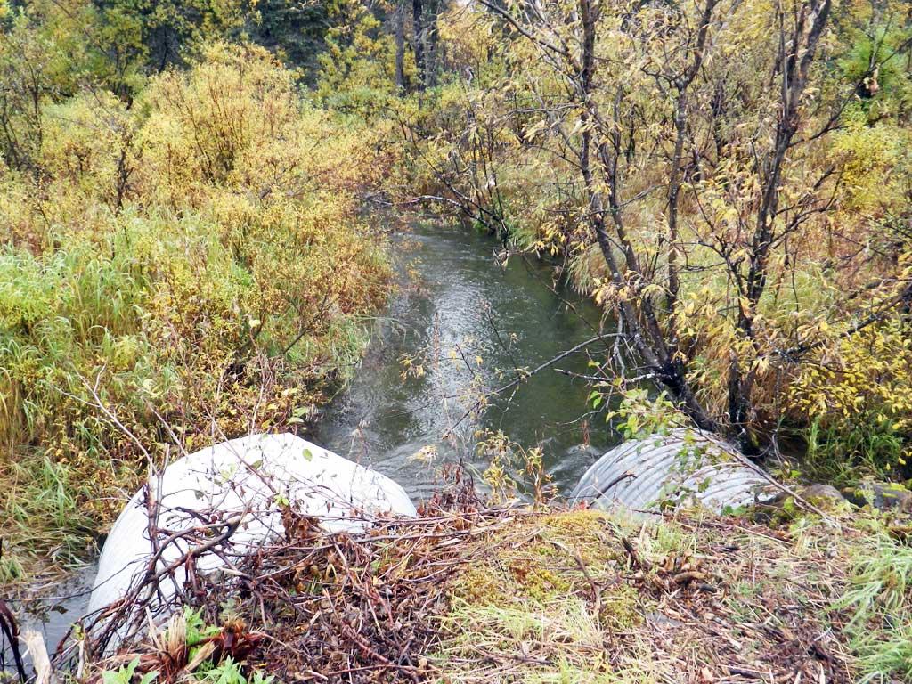
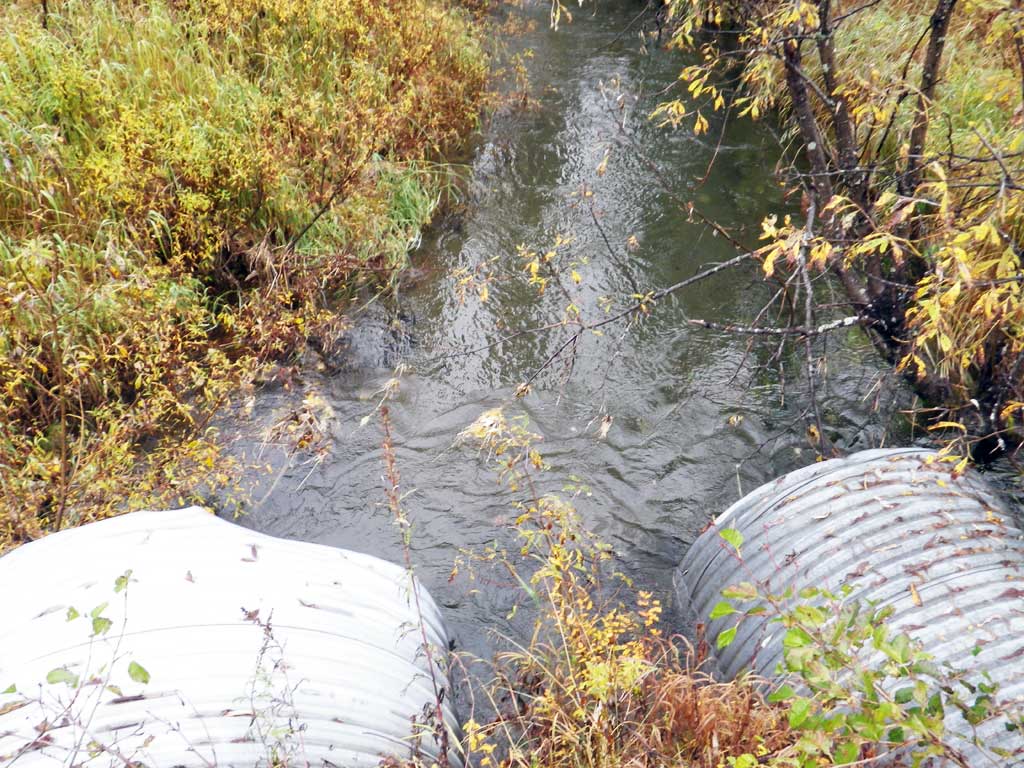
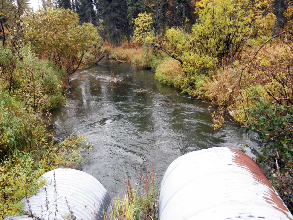
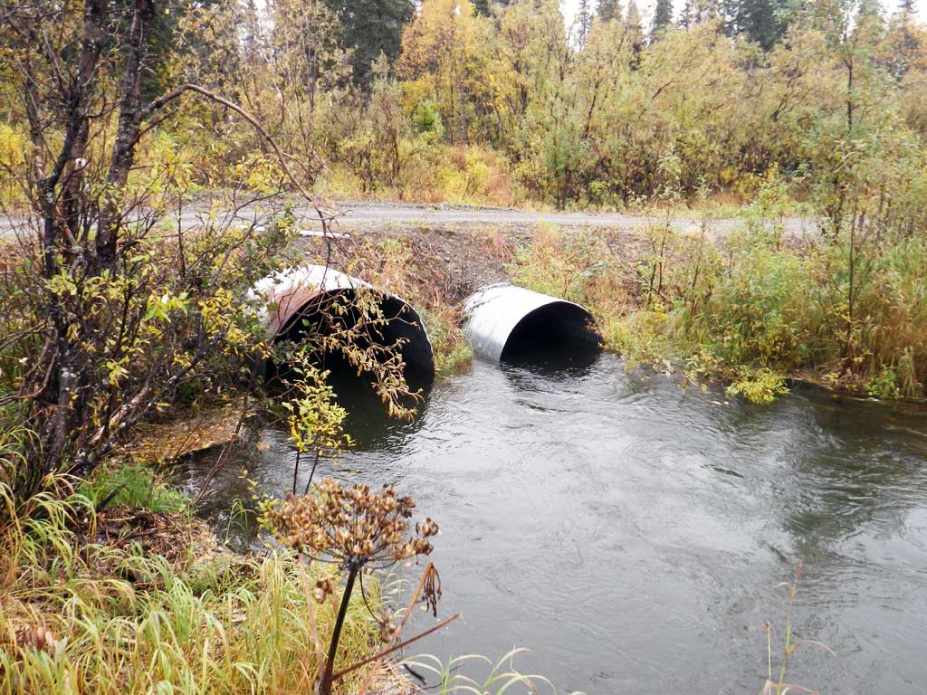
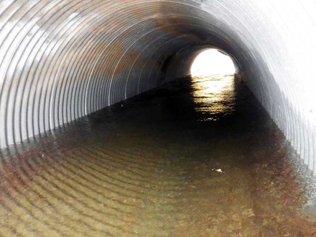
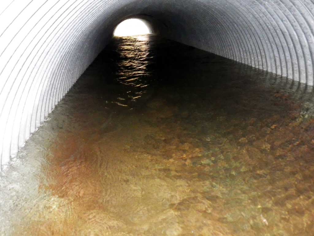
Comments: C1 and C2 rust lines under water approximately 6 inches. Stream tail water control is higher than inverts but does not backwater the culvert at current water levels.
Culvert Measurements
| ID: 1 | Structure Type: Circular pipe (Corrugated steel) | Fish Passage Rating: | |||||||||||||||||||||||||||||||||||||||||
|
|
|
|||||||||||||||||||||||||||||||||||||||||
Culvert Observations:
|
|||||||||||||||||||||||||||||||||||||||||||
| ID: 2 | Structure Type: Circular pipe (Corrugated steel) | Fish Passage Rating: | |||||||||||||||||||||||||||||||||||||||||
|
|
|
|||||||||||||||||||||||||||||||||||||||||
Culvert Observations:
|
|||||||||||||||||||||||||||||||||||||||||||
Stream Measurements
|
|
| Stream Width Type | Distance From Crossing (ft) |
Stream Width (ft) |
|---|---|---|
| Downstream ordinary high water | 13.00 | |
| Downstream ordinary high water | 12.10 |
Elevations
| Locator ID | Culvert Number |
River Distance (ft)1 |
Distance From Crossing (ft)2 |
Relative Elevation (ft) |
|---|---|---|---|---|
| Road Elev | 100.60 | |||
| D/S Tailcrest or 1st Thalweg (tailwater control) | 0.00 | 94.69 | ||
| D/S Water Surface Elev | 0.00 | 96.69 | ||
| D/S Water Surface Elev | 1 | 38.00 | 96.70 | |
| D/S Water Surface Elev | 2 | 38.00 | 96.70 | |
| Outlet Invert (on pipe) | 1 | 38.00 | 93.74 | |
| Outlet Invert (on pipe) | 2 | 38.00 | 93.90 | |
| Outlet Culvert Top | 1 | 38.00 | 98.77 | |
| Outlet Culvert Top | 2 | 38.00 | 100.00 | |
| Inlet Culvert Top | 2 | 77.80 | 99.92 | |
| Inlet Culvert Invert (on pipe) | 2 | 77.80 | 93.81 | |
| U/S Water Surface Elev | 2 | 77.80 | 96.74 | |
| U/S Water Surface Elev | 1 | 78.30 | 96.76 | |
| Inlet Culvert Invert (on pipe) | 1 | 78.30 | 93.87 | |
| Inlet Culvert Top | 1 | 78.30 | 98.82 | |
| U/S Grade Ctrl (Thalweg) | 96.30 | 93.26 | ||
| U/S Water Surface Elev (water above ohw) | 96.30 | 96.80 |
Notes:
- River distance is measured continuously throughout the survey reach along the thalweg of the stream.
- Measured from each end of the crossing along the thalweg of the stream.
Fish Sampling Efforts
| Gear Type: Visual Observation, Ground (A) | ||
| Comments: No fish observed or trapped. | ||
Fish Observations
No fish observations occurred during this survey.
Photos
Questions or comments about this report can be directed to dfg.dsf.webmaster@alaska.gov