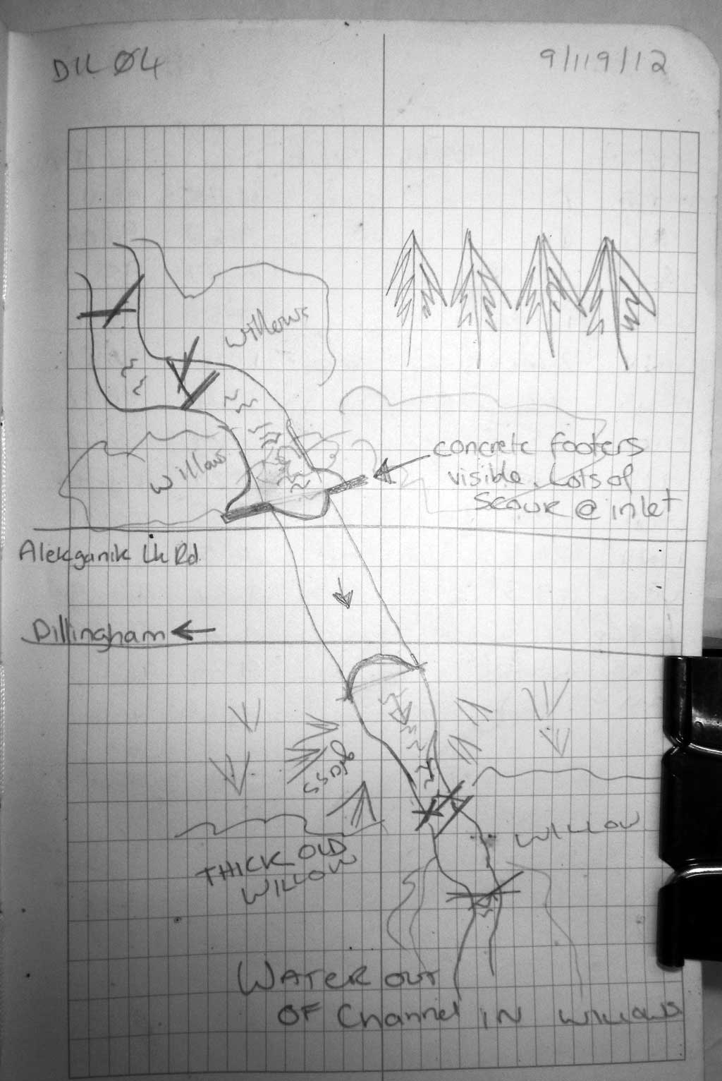
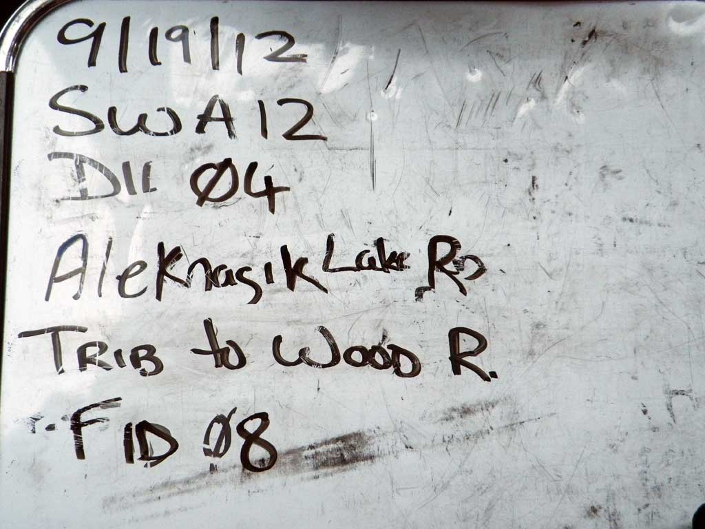
Fish Passage Site 30303066
Coordinates (dec. deg.): 59.18454°, -158.66634°
Legal Description: S011S056W35
Region: Southwest
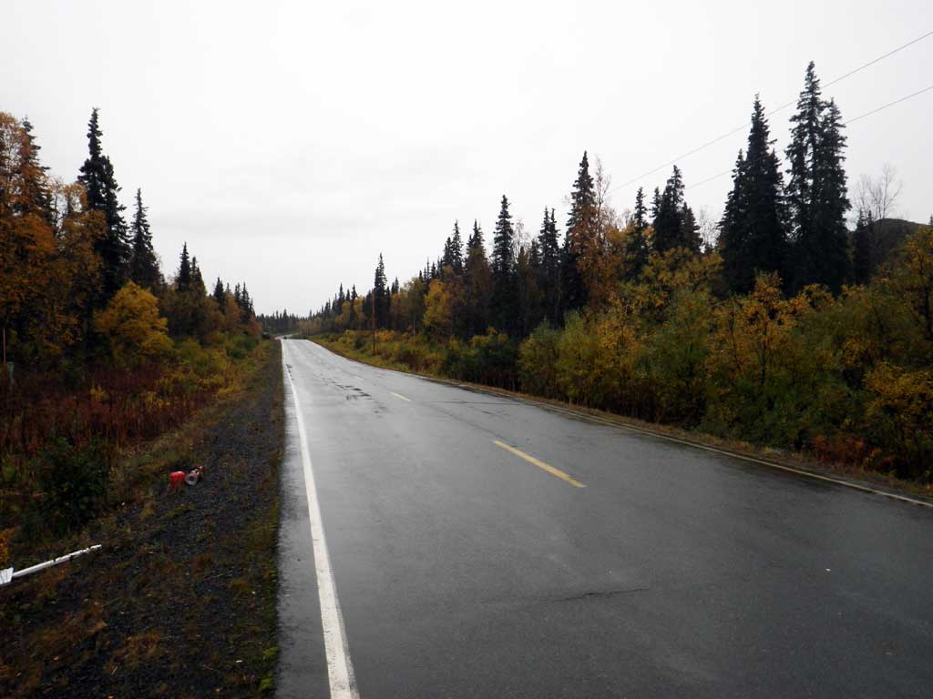
Road Name: Aleknagik Lake Road
Datum: NAD83
Quad Name / ITM: Dillingham A-8
AWC Stream #:
Stream Name: Wood River tributary
Elevation:
Site Comments: None
Survey SWA12-DIL04
Project Supervisor: Gillian O'Doherty, Alaska Department of Fish and Game
— Anchorage, AK
Observers: Gillian O'Doherty, Mark Eisenman
Overall Fish Passage Rating:
Tidal: No
Backwatered: No
Step Pools: No
Construction Year:
Comments: None
Culvert Measurements
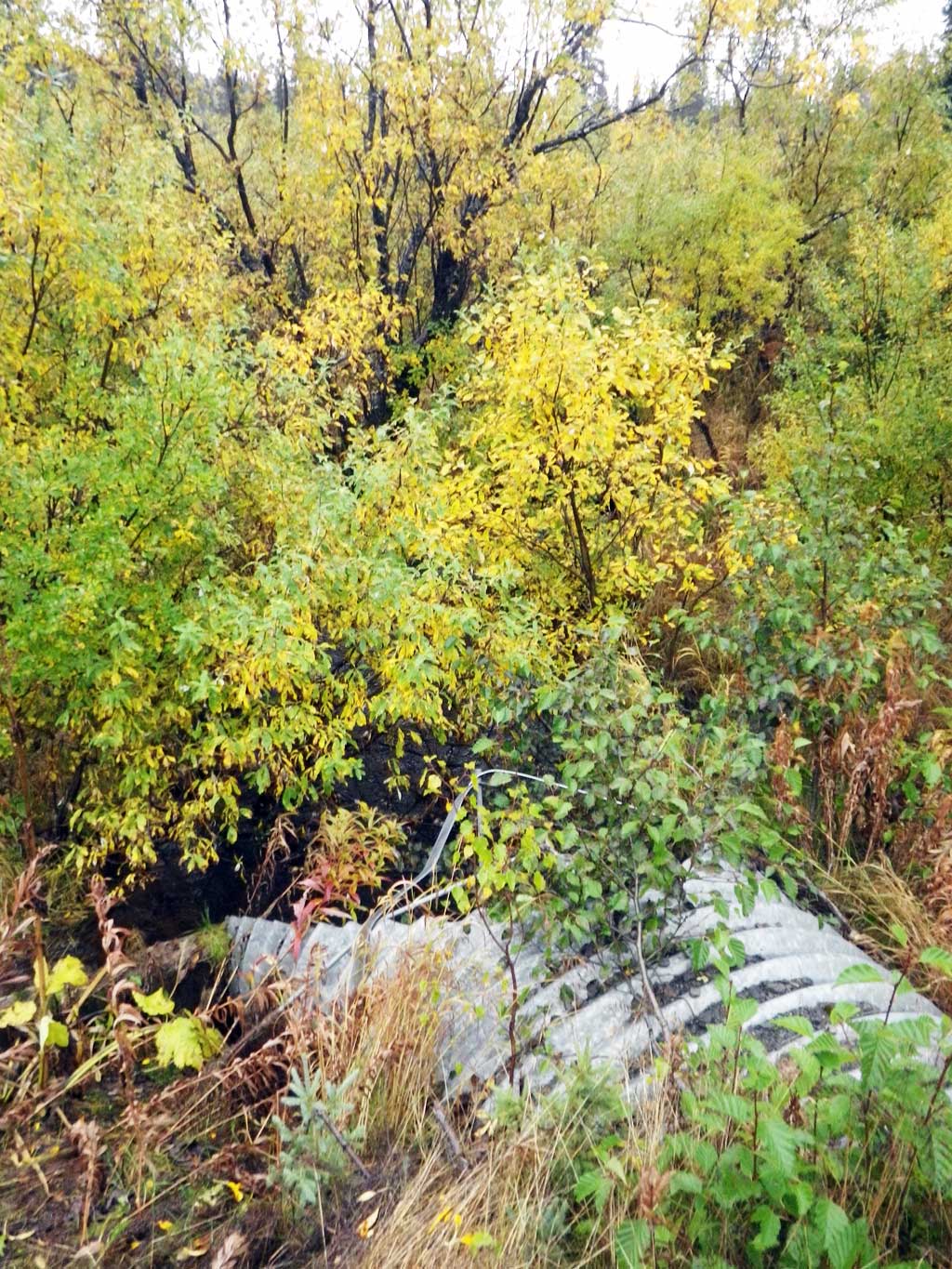
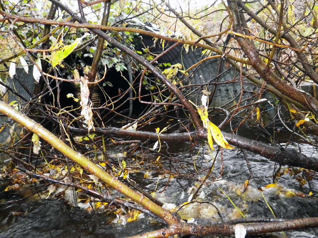
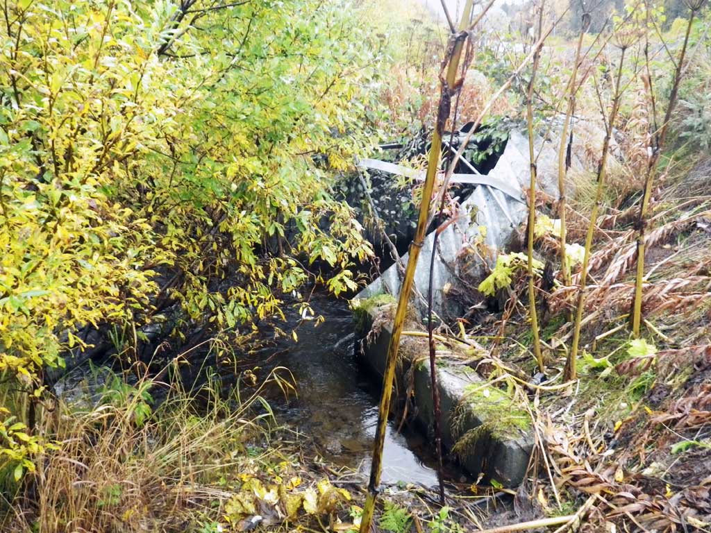
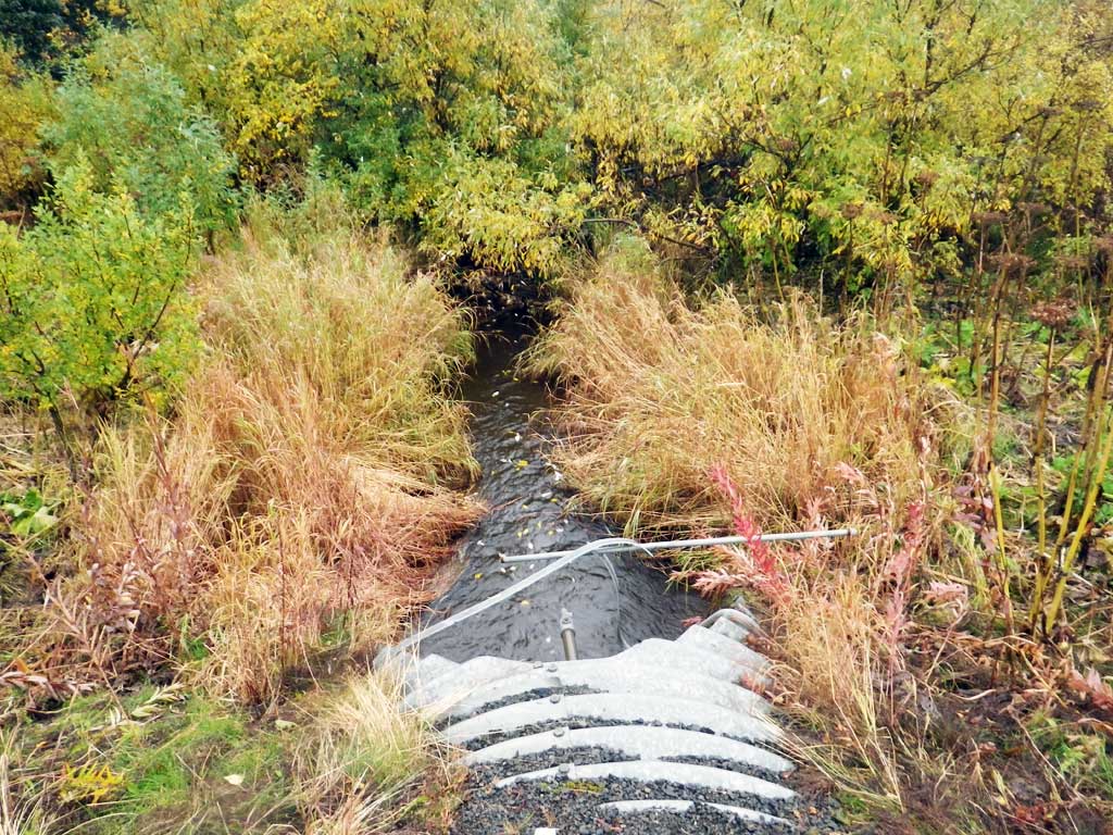
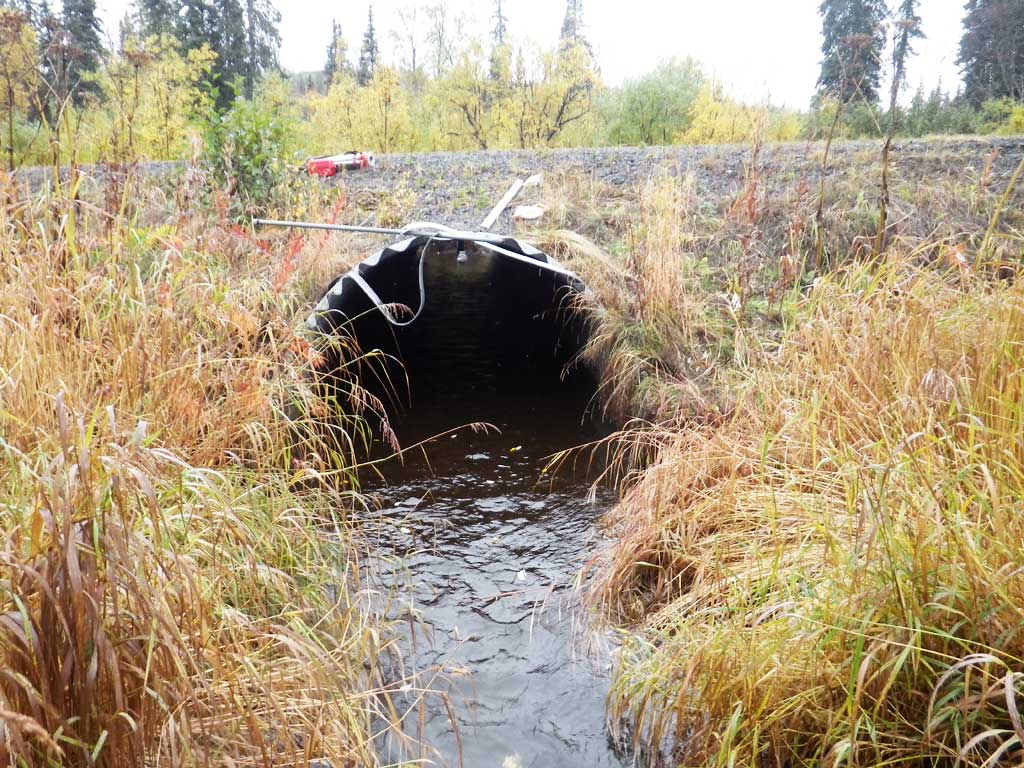
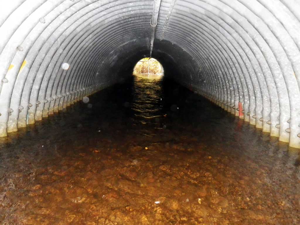
| ID: 1 | Structure Type: Pipe-arch (Structural steel plate) | Fish Passage Rating: | |||||||||||||||||||||||||||||||||||||||||
|
|
|
|||||||||||||||||||||||||||||||||||||||||
Comments: Top of miter length = 55.5. Inlet has gravel through part of it, but invert is bare in parts. Creek water level high. |
|||||||||||||||||||||||||||||||||||||||||||
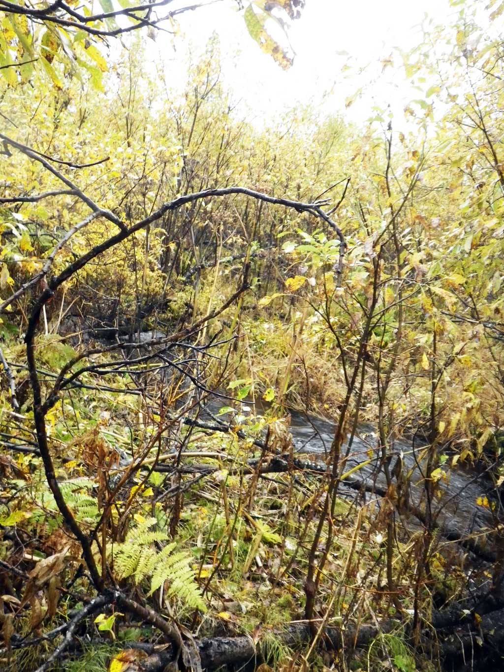
Stream Measurements
|
|
| Stream Width Type | Distance From Crossing (ft) |
Stream Width (ft) |
|---|---|---|
| Upstream ordinary high water | 53.0 | 6.50 |
| Upstream ordinary high water | 109.0 | 5.20 |
| Upstream ordinary high water | 132.0 | 6.10 |
Elevations
| Locator ID | Culvert Number |
River Distance (ft)1 |
Distance From Crossing (ft)2 |
Relative Elevation (ft) |
|---|---|---|---|---|
| Road Elev (side) | 102.46 | |||
| D/S Grade Ctrl (Thalweg) (riffle below culvert no outlet pool) | 0.00 | 94.91 | ||
| D/S Water Surface Elev | 0.00 | 96.04 | ||
| D/S Water Surface Elev | 12.00 | 96.12 | ||
| D/S Grade Ctrl (Thalweg) | 12.00 | 95.19 | ||
| Outlet Invert (on substrate) | 22.00 | 95.06 | ||
| D/S Water Surface Elev | 22.00 | 96.12 | ||
| Outlet Culvert Top (top of miter) | 28.00 | 100.02 | ||
| Inlet Culvert Top | 83.50 | 100.31 | ||
| U/S Water Surface Elev (resting hab at inlet) | 89.50 | 96.29 | ||
| Inlet Culvert Invert (on pipe or v. little substrate) | 89.50 | 95.15 | ||
| U/S Grade Ctrl (Thalweg) (riffle from inlet up to here) | 109.50 | 95.95 | ||
| U/S Water Surface Elev | 109.50 | 96.40 |
Notes:
- River distance is measured continuously throughout the survey reach along the thalweg of the stream.
- Measured from each end of the crossing along the thalweg of the stream.
Fish Sampling Efforts
| Gear Type: Visual Observation, Ground (A) | ||
| Comments: No traps, set no fish observed. | ||
Fish Observations
No fish observations occurred during this survey.
Photos
Questions or comments about this report can be directed to dfg.dsf.webmaster@alaska.gov