Fish Passage Site 30303065
Coordinates (dec. deg.): 59.18903°, -158.67247°
Legal Description: S011S056W26
Region: Southwest
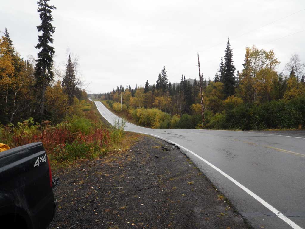
Road Name: Aleknagik Lake Road
Datum: NAD83
Quad Name / ITM: Dillingham A-8
AWC Stream #:
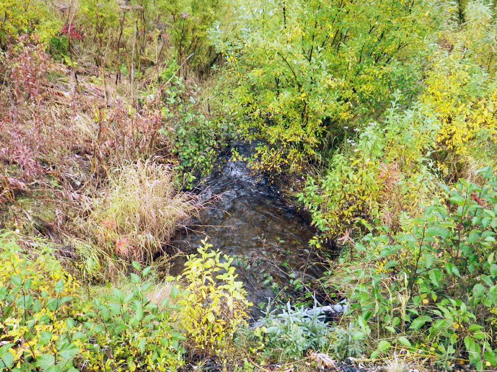
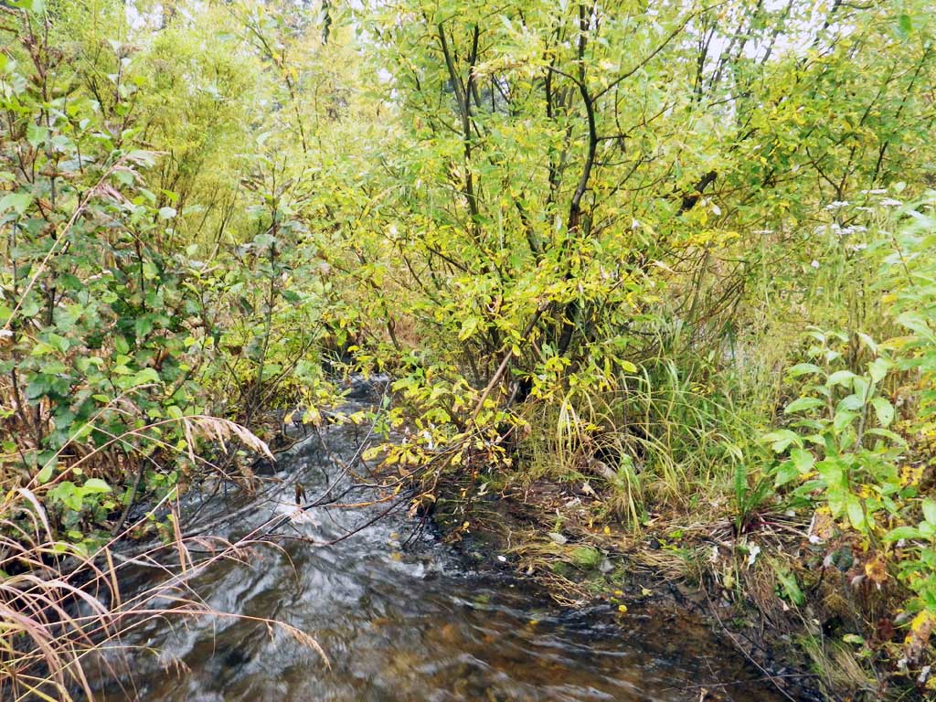
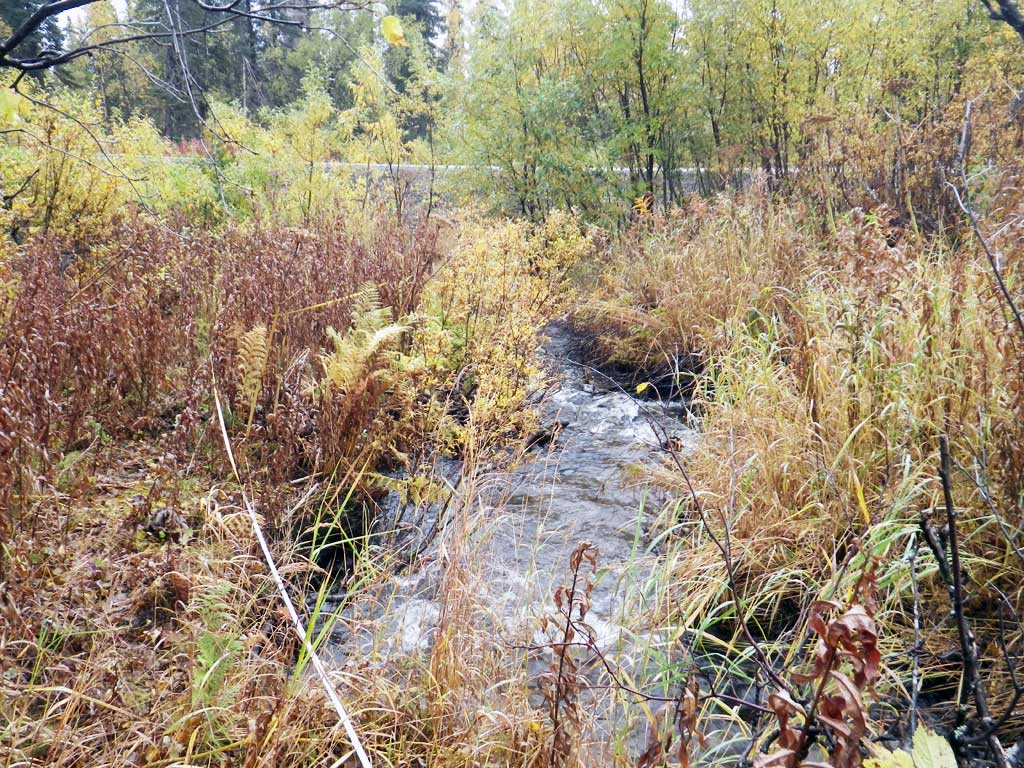
Stream Name: Wood River tributary
Elevation:
Site Comments: None
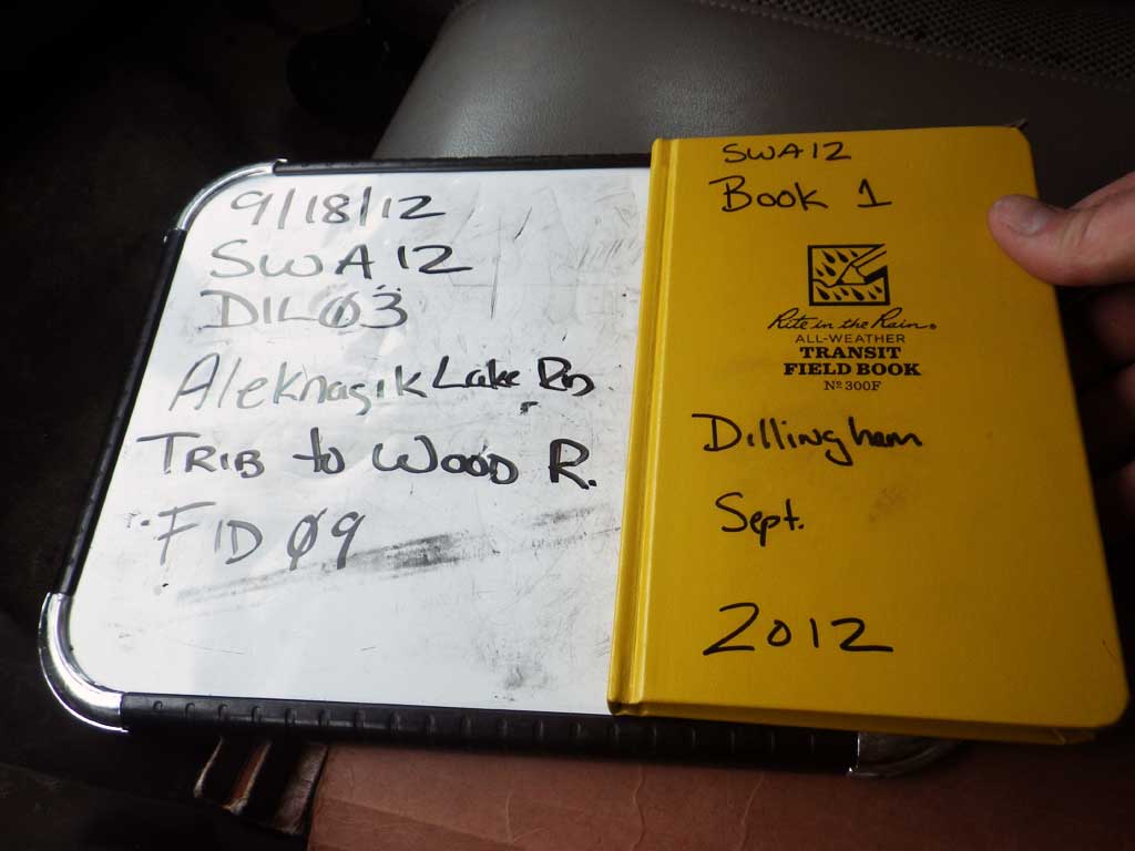
Survey SWA12-DIL03
Project Supervisor: Gillian O'Doherty, Alaska Department of Fish and Game
— Anchorage, AK
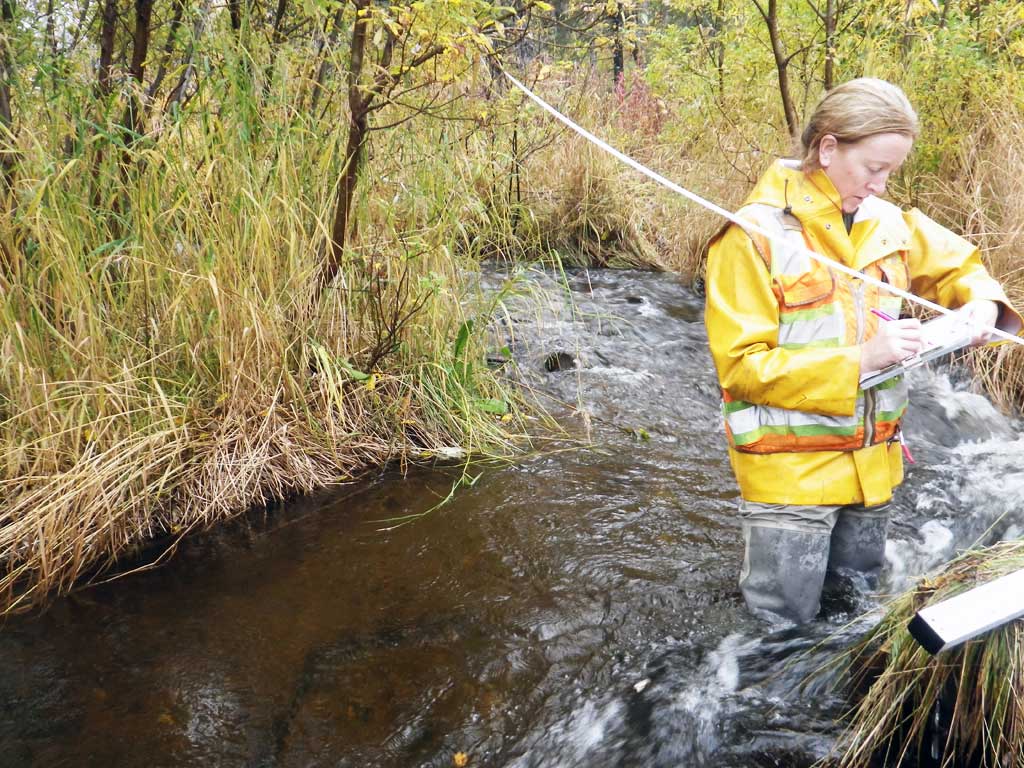
Observers: Gillian O'Doherty, Mark Eisenman
Overall Fish Passage Rating:
Tidal: No
Backwatered: No
Step Pools: No
Construction Year:
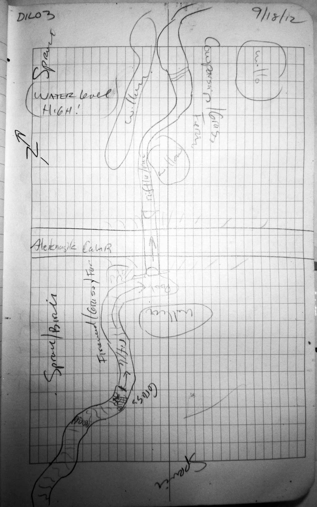
Site Observations:
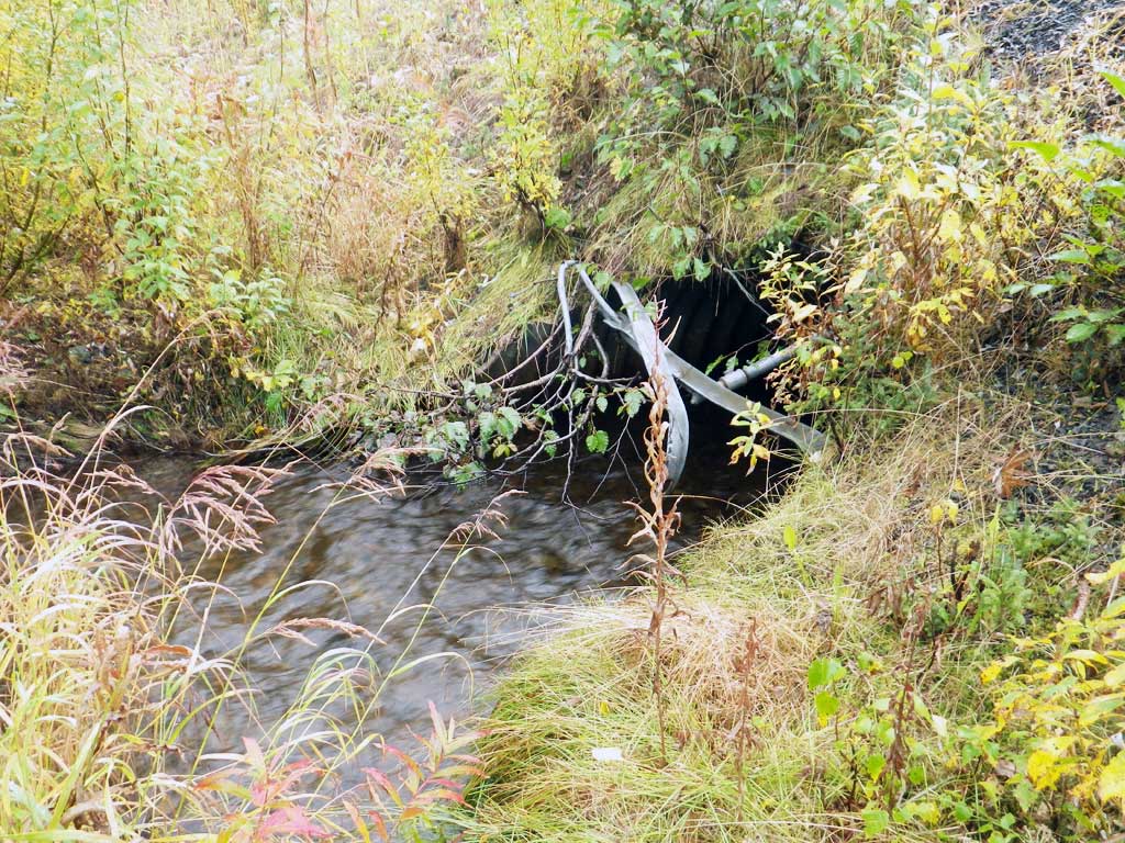
- Culvert gradient gray
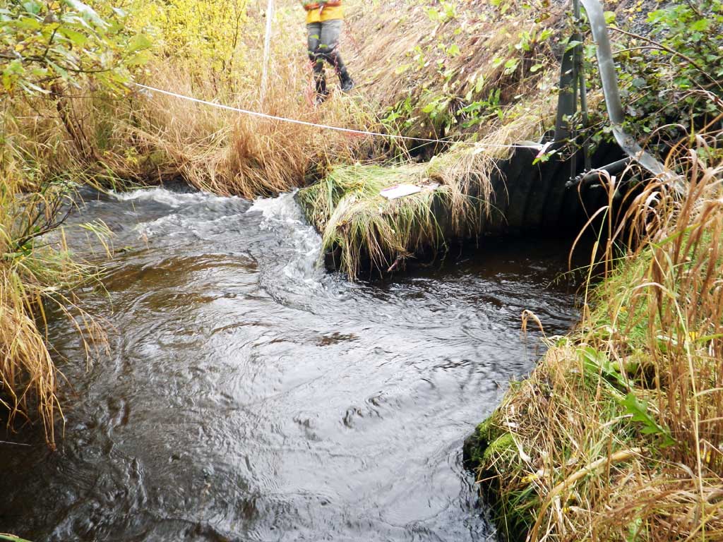
- Culvert is poorly aligned
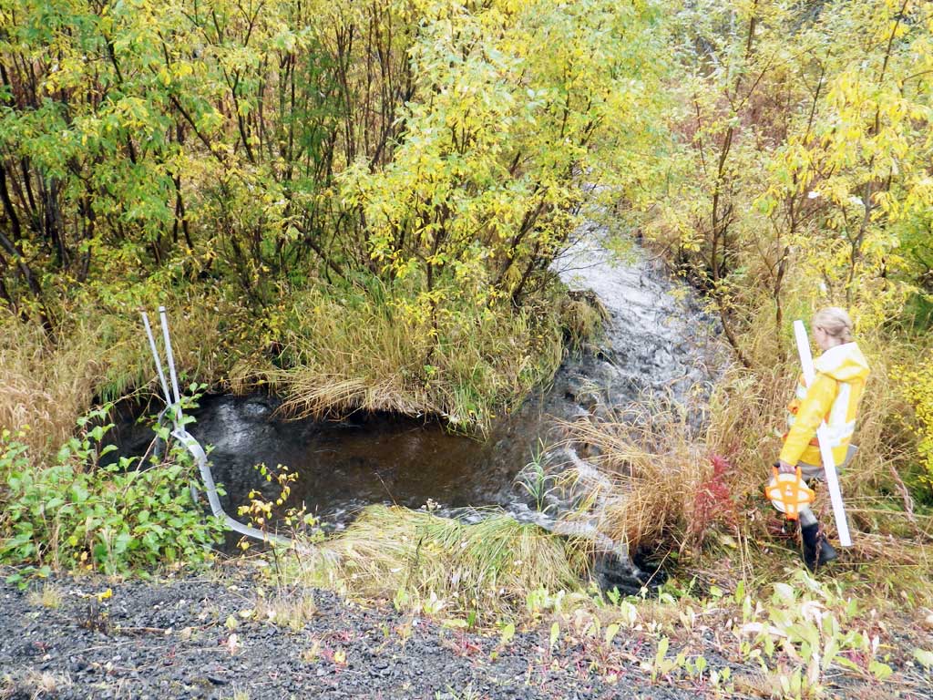
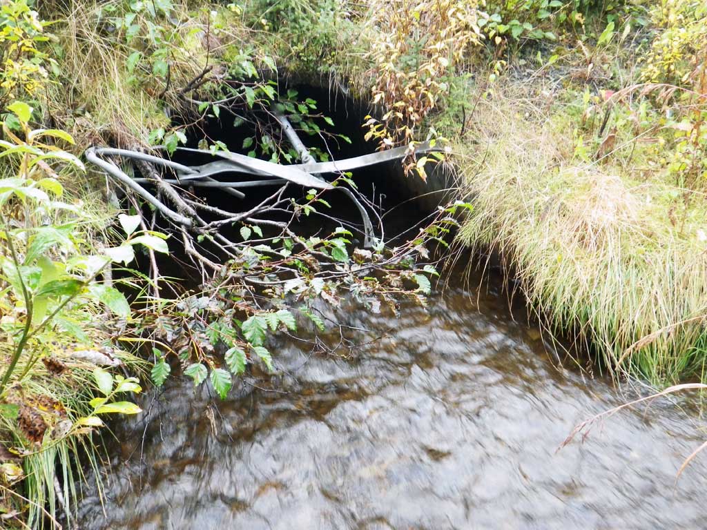
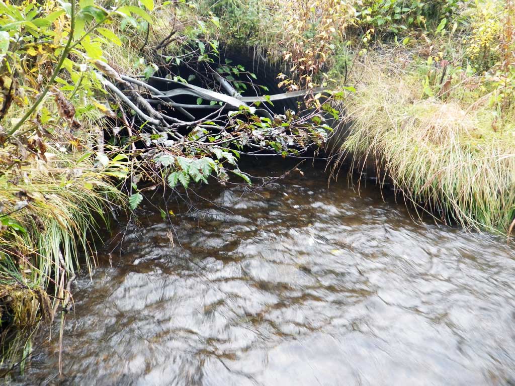
Comments: Almost embedded but inlet scoured clean, plus concrete headwall, too. Culvert is set just next to stream at inlet instead of inline so makes two 90-degree bends and lots of scour.
Culvert Measurements
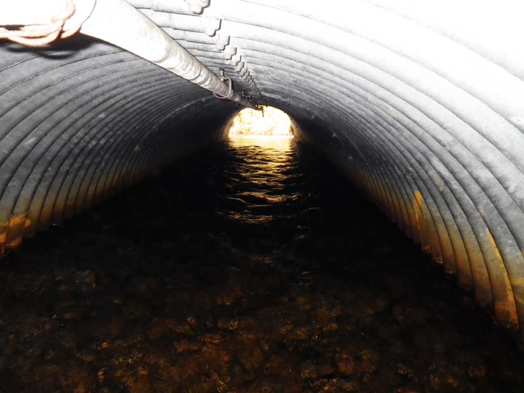
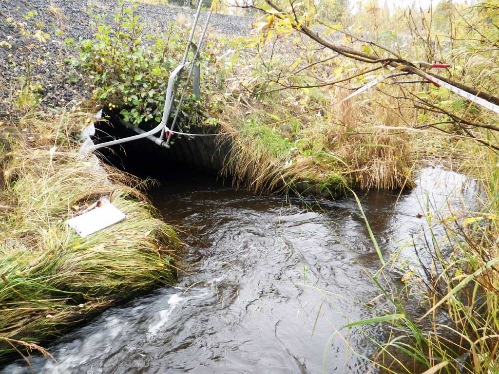
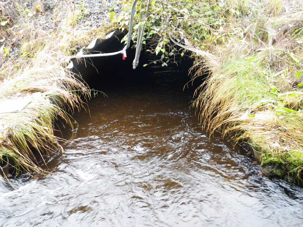
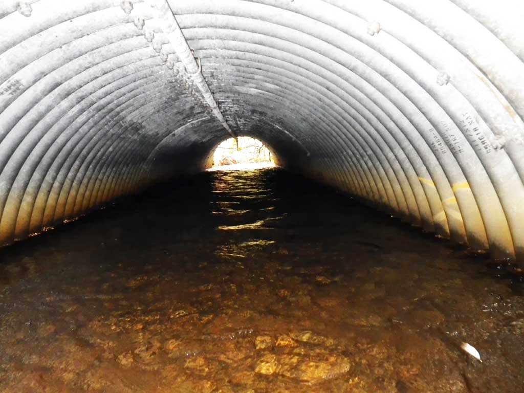
| ID: 1 | Structure Type: Pipe-arch (Structural steel plate) | Fish Passage Rating: | |||||||||||||||||||||||||||||||||||||||||
|
|
|
|||||||||||||||||||||||||||||||||||||||||
Comments: Top of miter length is 39.6 feet. |
|||||||||||||||||||||||||||||||||||||||||||
Culvert Observations:
|
|||||||||||||||||||||||||||||||||||||||||||
Stream Measurements
|
|
| Stream Width Type | Distance From Crossing (ft) |
Stream Width (ft) |
|---|---|---|
| Upstream ordinary high water | 8.00 | |
| Upstream ordinary high water | 50.0 | 7.00 |
| Upstream ordinary high water | 71.0 | 6.80 |
Elevations
| Locator ID | Culvert Number |
River Distance (ft)1 |
Distance From Crossing (ft)2 |
Relative Elevation (ft) |
|---|---|---|---|---|
| Road Elev | 100.51 | |||
| D/S Grade Ctrl (Thalweg) | 0.00 | 91.98 | ||
| D/S Water Surface Elev | 0.00 | 92.57 | ||
| D/S Thalweg (pool) | 11.00 | 90.84 | ||
| D/S Water Surface Elev | 11.00 | 92.72 | ||
| D/S Water Surface Elev | 25.00 | 92.85 | ||
| D/S Grade Ctrl (Thalweg) | 25.00 | 92.04 | ||
| Outlet Invert (substrate) | 29.00 | 92.29 | ||
| D/S Water Surface Elev | 29.00 | 92.92 | ||
| Outlet Culvert Top (to of miter) | 35.00 | 95.92 | ||
| U/S Thalweg (substrate below top of miter) | 74.60 | 92.51 | ||
| Inlet Culvert Top (top of miter) | 74.60 | 96.53 | ||
| Inlet Culvert Invert (on pipe) | 80.60 | 91.45 | ||
| U/S Water Surface Elev | 80.60 | 93.50 | ||
| U/S Water Surface Elev (stream grade) | 86.60 | 93.51 | ||
| U/S Grade Ctrl (Thalweg) | 86.60 | 92.67 | ||
| U/S Water Surface Elev | 103.60 | 94.31 | ||
| U/S Grade Ctrl (Thalweg) | 103.60 | 93.48 | ||
| U/S Water Surface Elev | 162.60 | 96.27 |
Notes:
- River distance is measured continuously throughout the survey reach along the thalweg of the stream.
- Measured from each end of the crossing along the thalweg of the stream.
Fish Sampling Efforts
| Gear Type: Visual Observation, Ground (A) | ||
| Comments: No traps set, no fish observed. | ||
Fish Observations
No fish observations occurred during this survey.
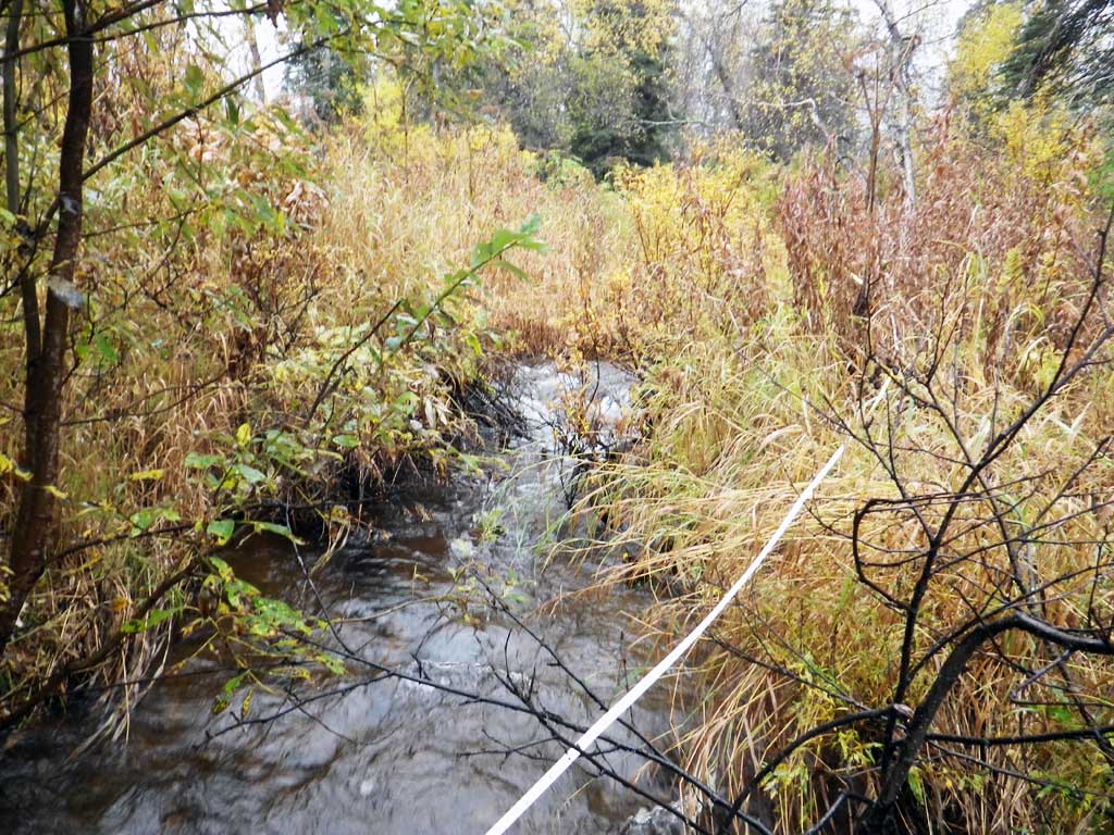
Photos
Questions or comments about this report can be directed to dfg.dsf.webmaster@alaska.gov