Fish Passage Site 30303064
Coordinates (dec. deg.): 59.20638°, -158.67271°
Legal Description: S011S056W23
Region: Southwest
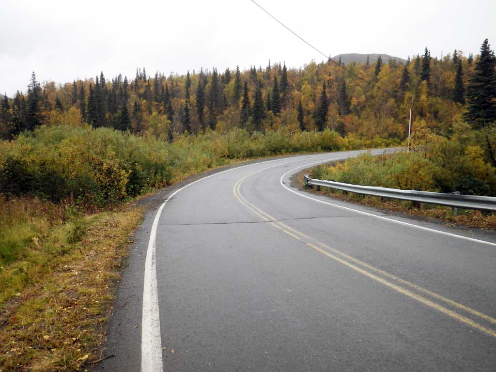
Road Name: Aleknagik Lake Road
Datum: NAD83
Quad Name / ITM: Dillingham A-8
AWC Stream #: 325-30-10100-2031-3039-4202
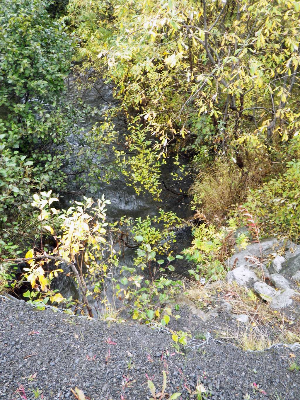
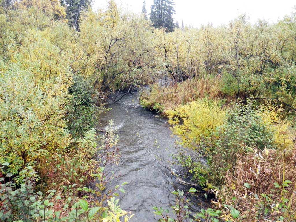
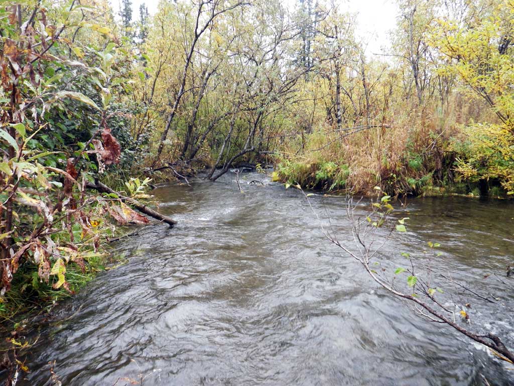
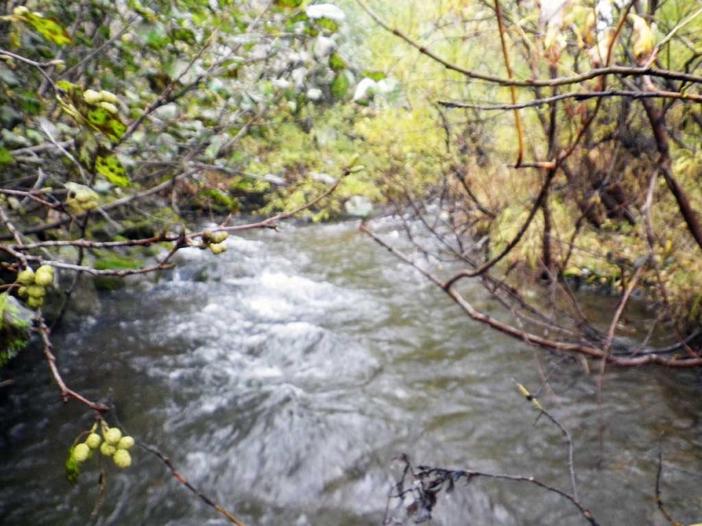
Stream Name: Wood River tributary
Elevation:
Site Comments: None
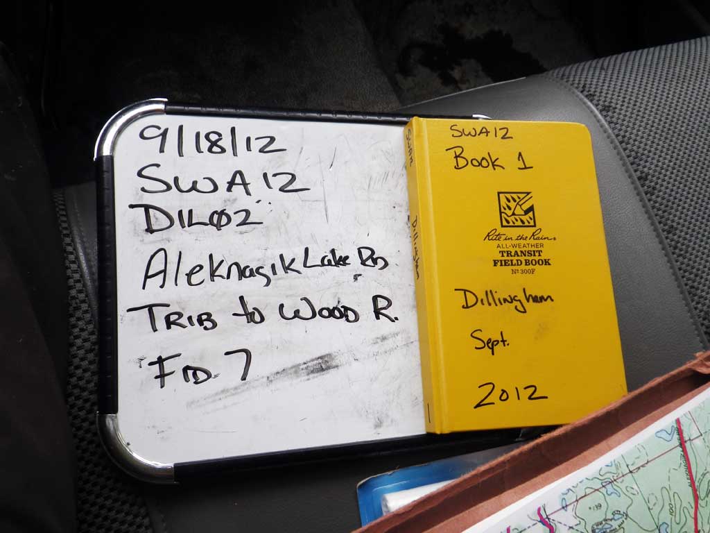
Survey SWA12-DIL02
Project Supervisor: Gillian O'Doherty, Alaska Department of Fish and Game
— Anchorage, AK
Observers: Gillian O'Doherty, Mark Eisenman
Overall Fish Passage Rating:
Tidal: No
Backwatered: No
Step Pools: No
Construction Year:
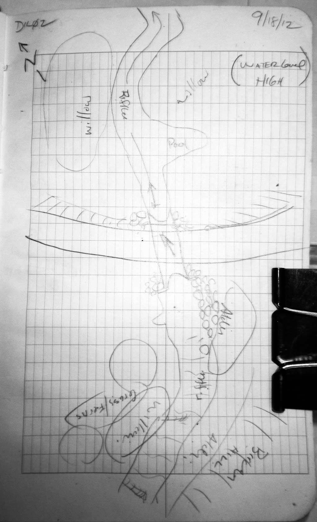
Site Observations:
- Culvert gradient red
- Constriction ratio gray
- Road bank erosion
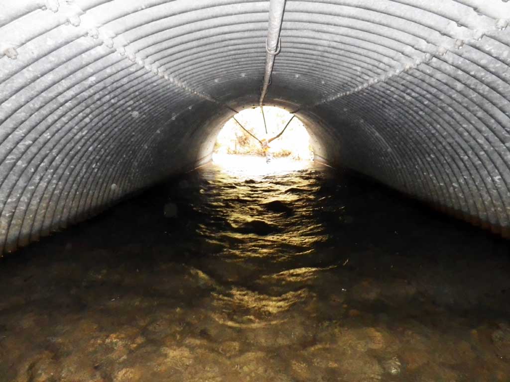
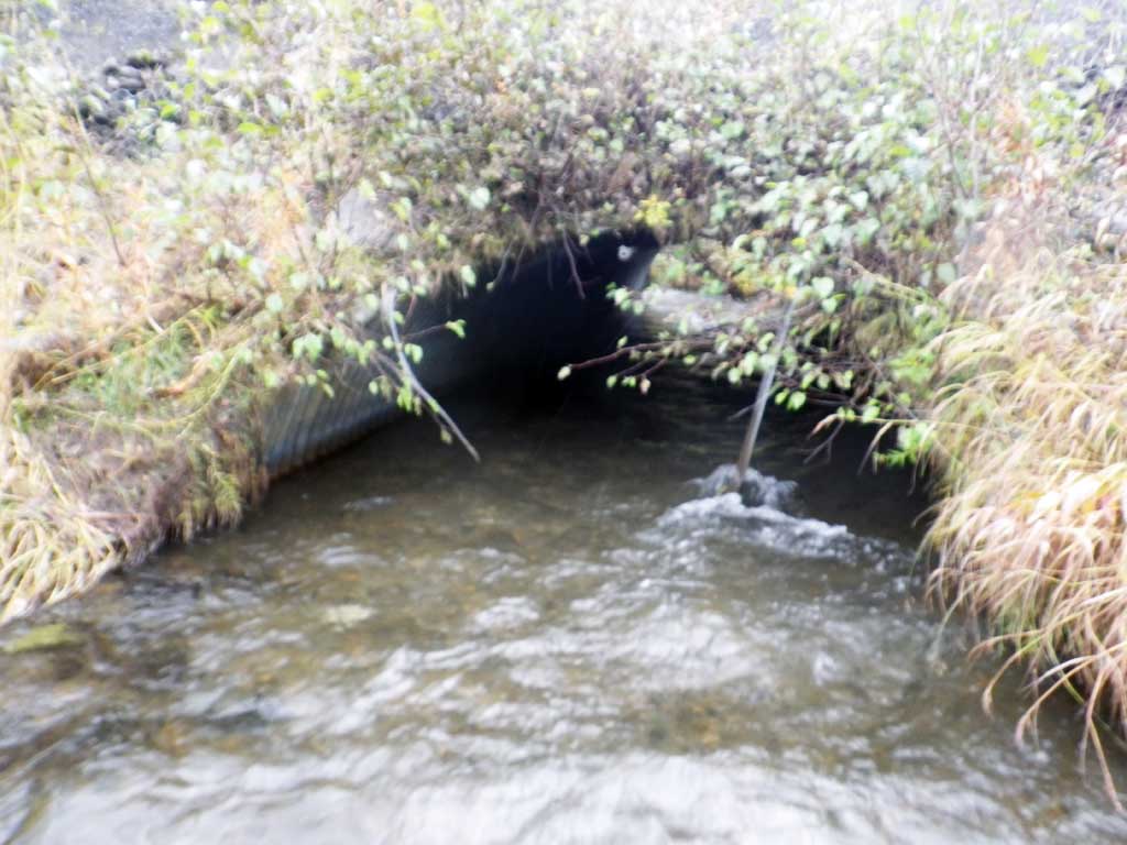
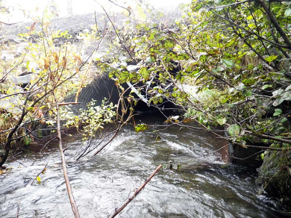
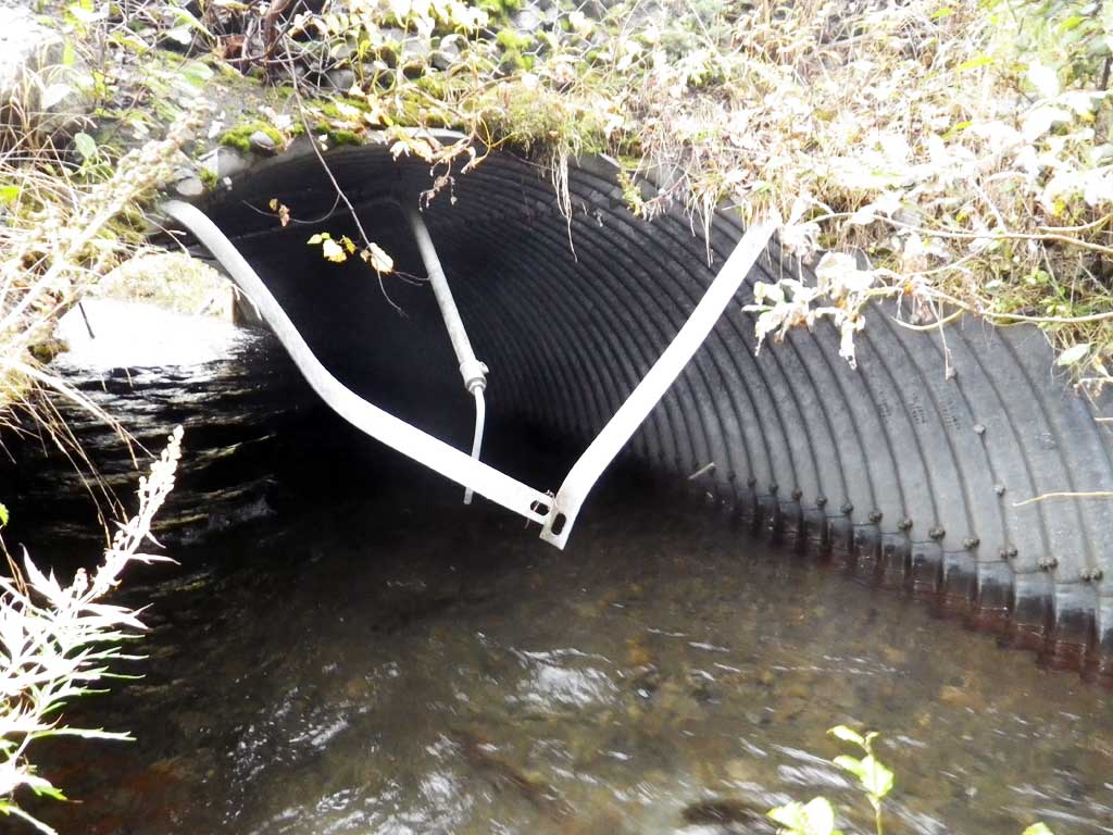
- Culvert is too short
- Culvert is poorly aligned
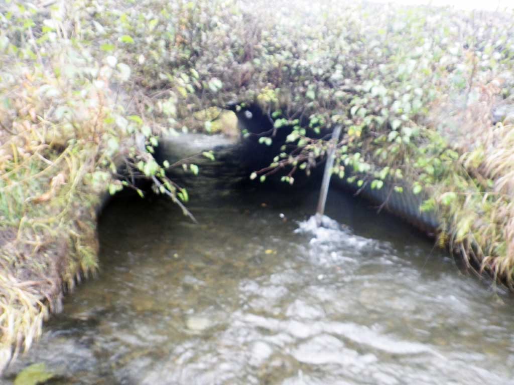
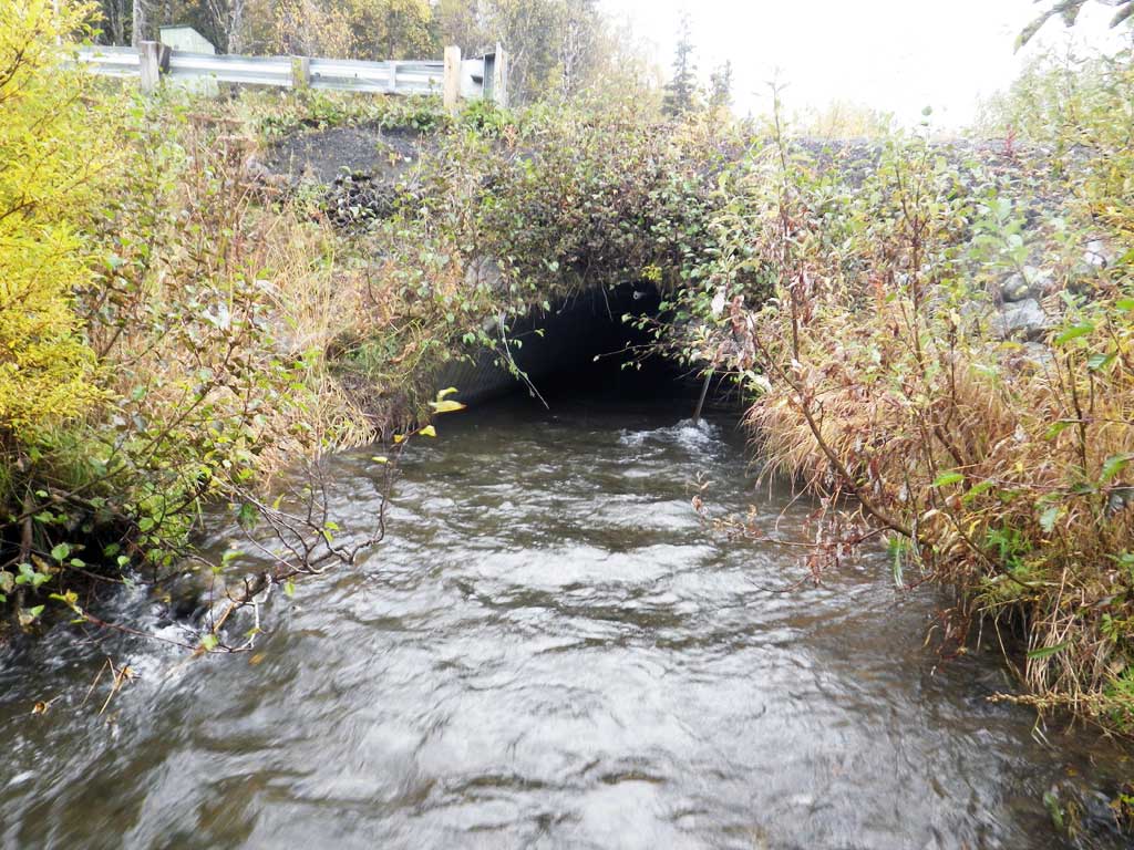
Comments: Some substrate in pipe. Upstream channel armored.
Culvert Measurements
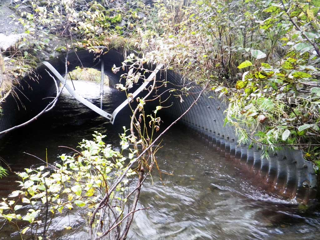
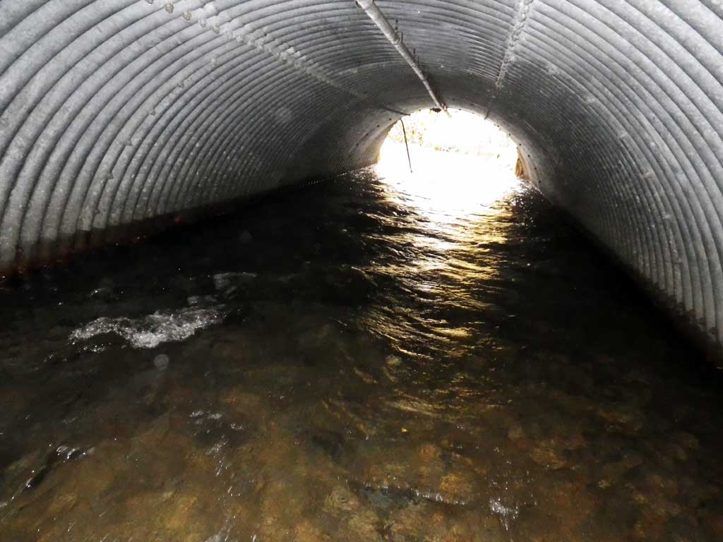
| ID: 1 | Structure Type: Pipe-arch (Structural steel plate) | Fish Passage Rating: | |||||||||||||||||||||||||||||||||||||||||
|
|
|
|||||||||||||||||||||||||||||||||||||||||
Comments: Top of miter length 37 feet. No stream grade--water too high and fast. Water surface gradient only 0.57%. |
|||||||||||||||||||||||||||||||||||||||||||
Culvert Observations:
|
|||||||||||||||||||||||||||||||||||||||||||
Stream Measurements
|
|
| Stream Width Type | Distance From Crossing (ft) |
Stream Width (ft) |
|---|---|---|
| Downstream ordinary high water | 14.00 | |
| Downstream ordinary high water | 16.00 | |
| Downstream ordinary high water | 50.0 | 16.00 |
Elevations
| Locator ID | Culvert Number |
River Distance (ft)1 |
Distance From Crossing (ft)2 |
Relative Elevation (ft) |
|---|---|---|---|---|
| Road Elev | 99.53 | |||
| D/S Thalweg (riffle down from outlet) | 0.00 | 88.69 | ||
| D/S Water Surface Elev | 0.00 | 90.23 | ||
| D/S Water Surface Elev | 38.00 | 90.50 | ||
| Outlet Invert (on substrate) | 38.00 | 89.19 | ||
| Outlet Culvert Top (top of miter) | 47.00 | 94.80 | ||
| Inlet Culvert Top (top of miter) | 84.00 | 96.15 | ||
| Inlet Culvert Invert (on pipe) | 92.10 | 88.88 | ||
| U/S Water Surface Elev | 92.10 | 90.81 | ||
| U/S Thalweg | 104.10 | 89.29 | ||
| U/S Water Surface Elev | 104.10 | 90.77 |
Notes:
- River distance is measured continuously throughout the survey reach along the thalweg of the stream.
- Measured from each end of the crossing along the thalweg of the stream.
Fish Sampling Efforts
| Gear Type: Visual Observation, Ground (A) | ||
| Comments: No traps set, no fish observed. | ||
Fish Observations
No fish observations occurred during this survey.
Photos
Questions or comments about this report can be directed to dfg.dsf.webmaster@alaska.gov