Fish Passage Site 30203270
Coordinates (dec. deg.): 58.71245°, -156.74179°
Legal Description: S017S045W08
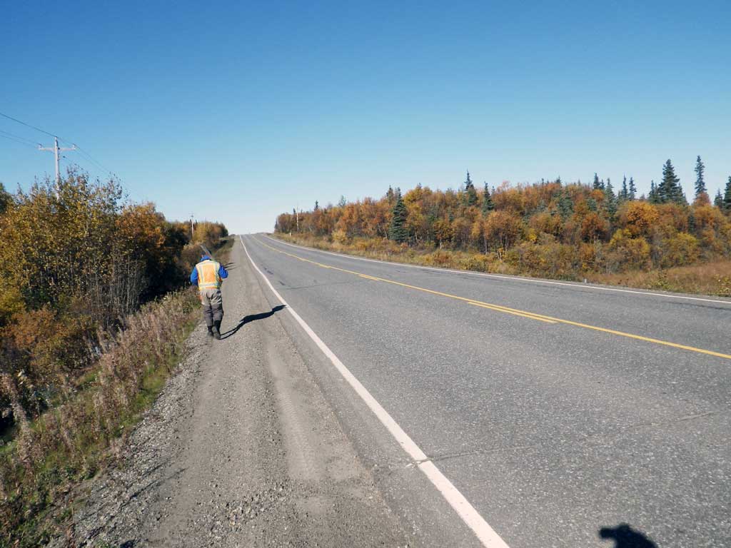
Region: Southwest
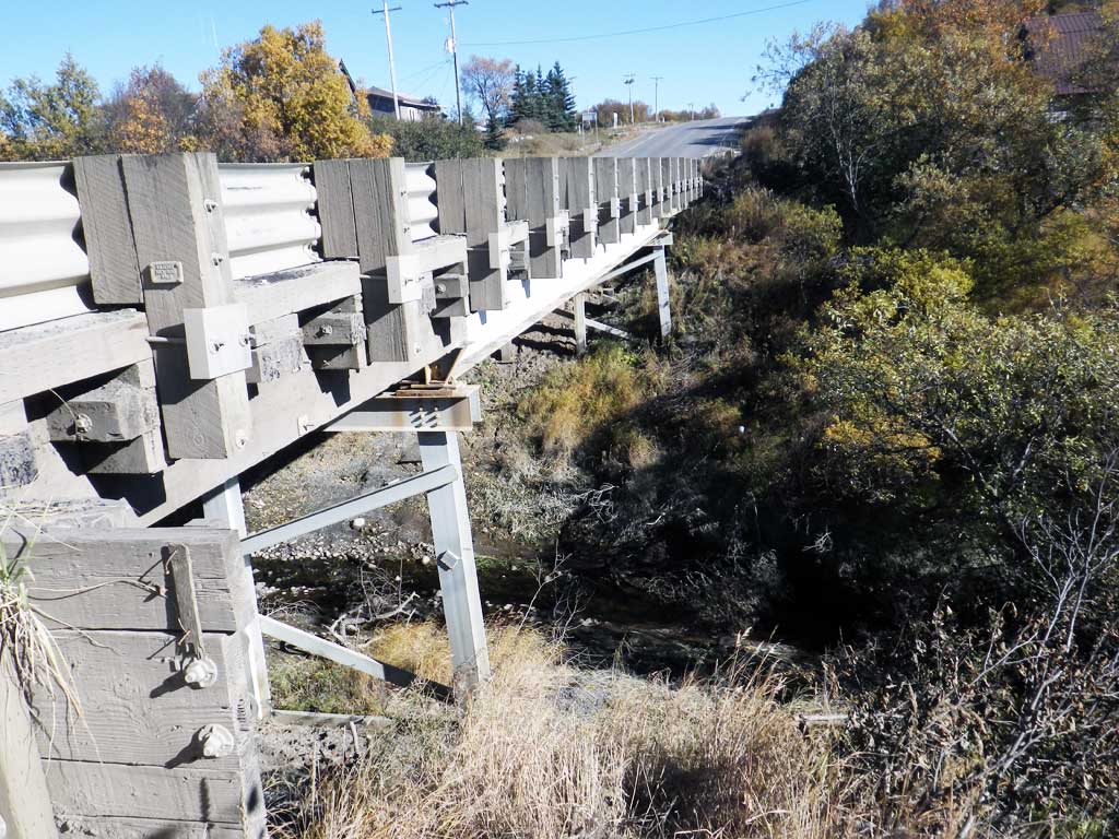
Road Name: Alaska Peninsula Highway
Datum: NAD83
Quad Name / ITM: Naknek C-3
AWC Stream #:
Stream Name: Unnamed Creek
Elevation:
Site Comments: None
Survey SWA12-KIS03
Project Supervisor: Gillian O'Doherty, Alaska Department of Fish and Game
— Anchorage, AK
Observers: Gillian O'Doherty, Mark Eisenman
Overall Fish Passage Rating:
Tidal: No
Backwatered: No
Step Pools: No
Construction Year:
Site Observations:
- Culvert gradient red
- Mechanical damage or joints parting
- Structural Problem
- Culvert sagging in middle
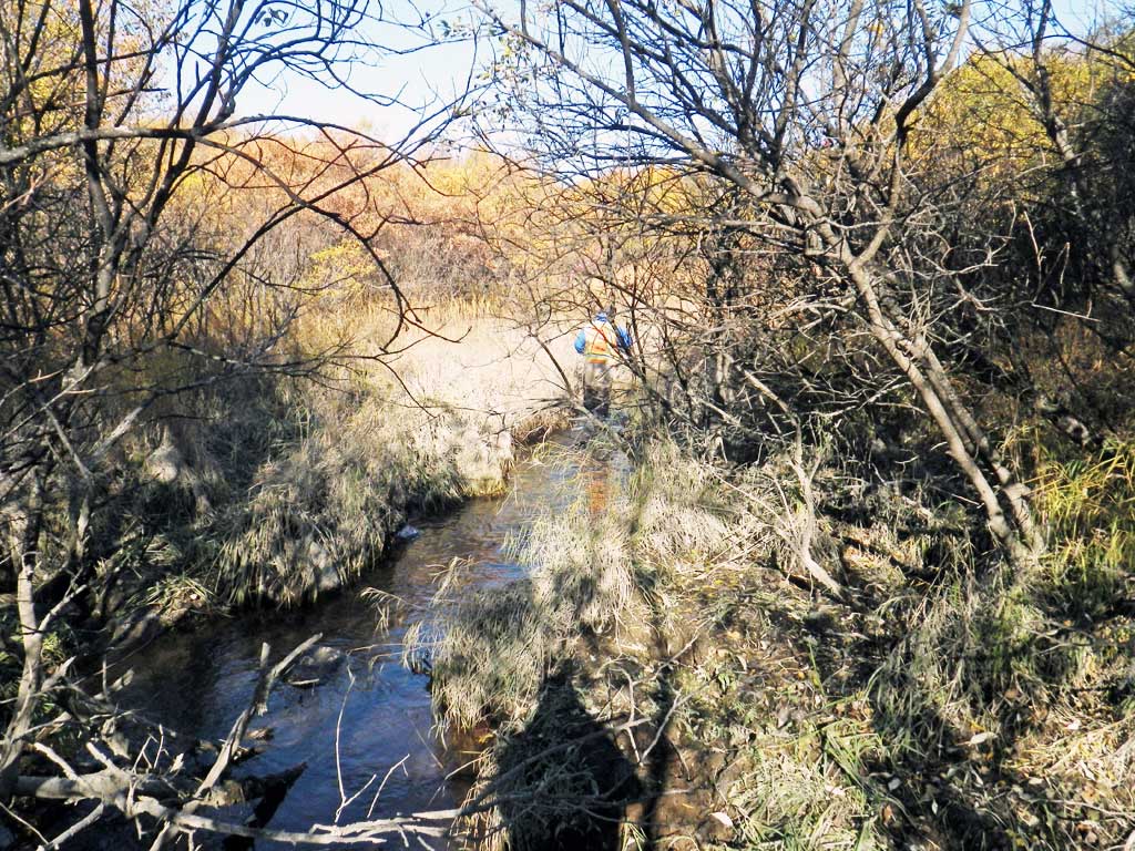
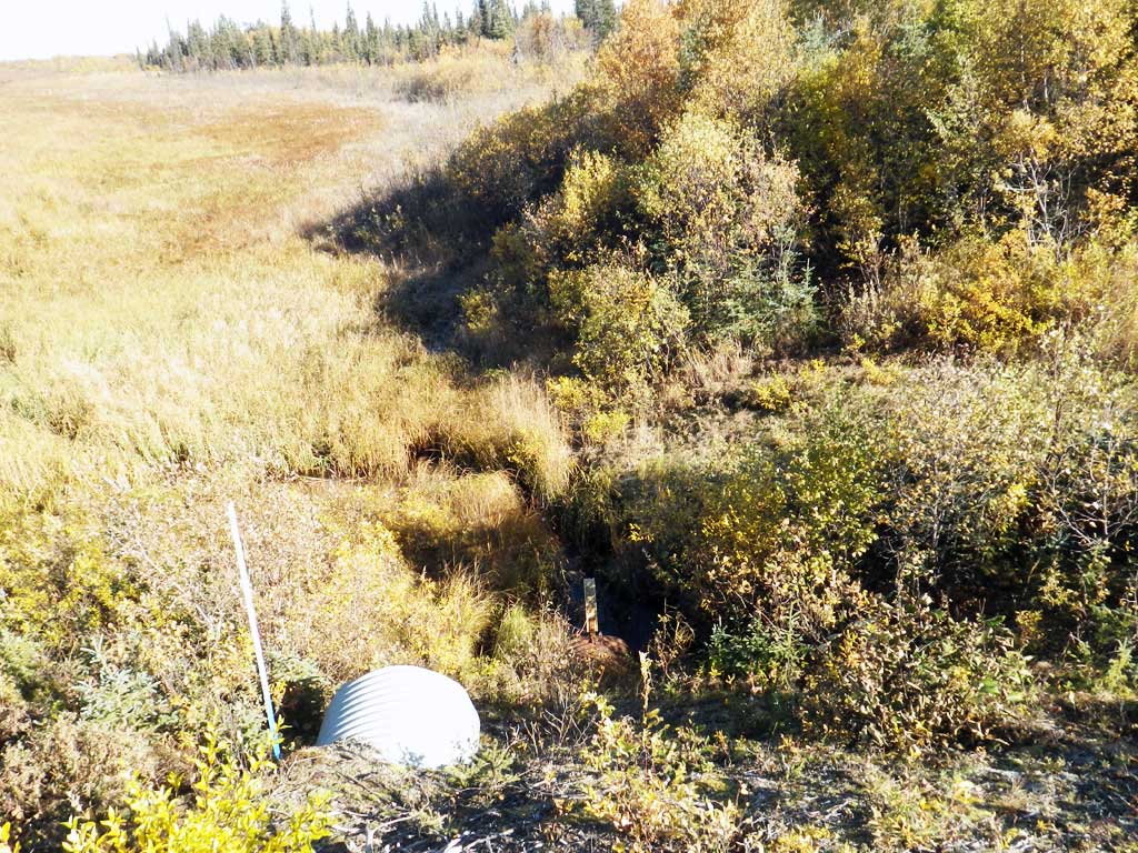
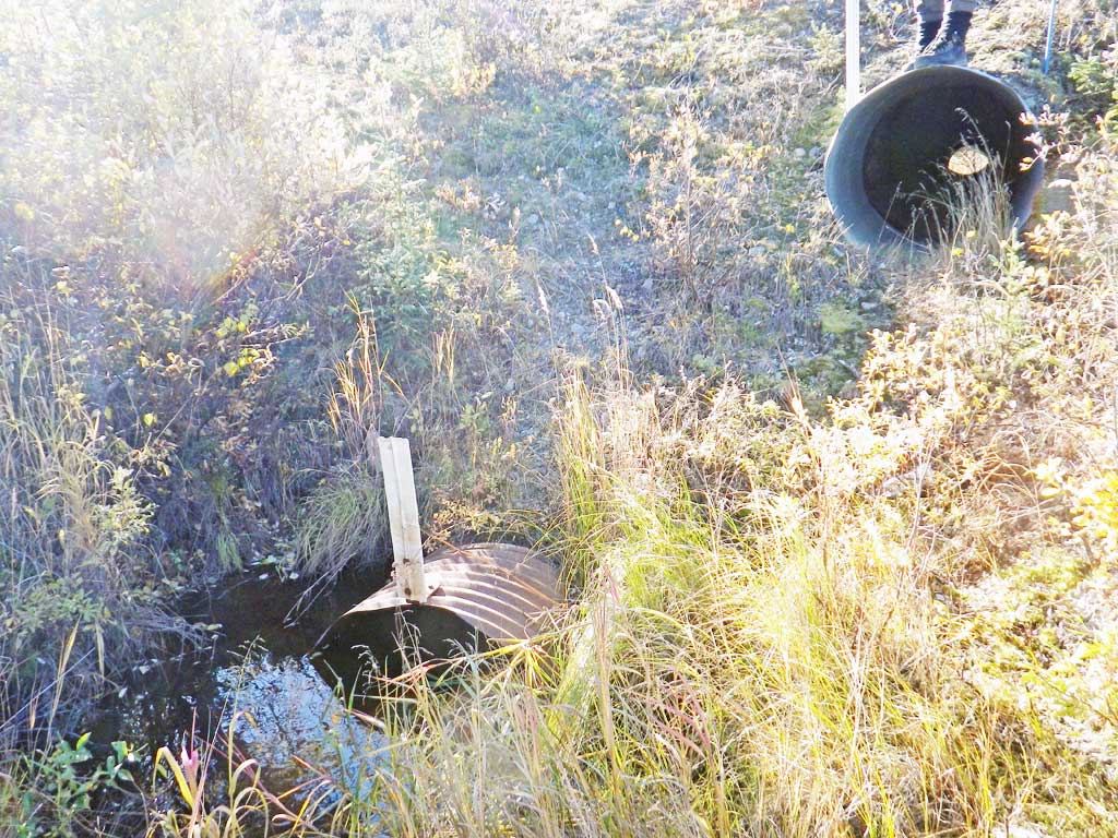
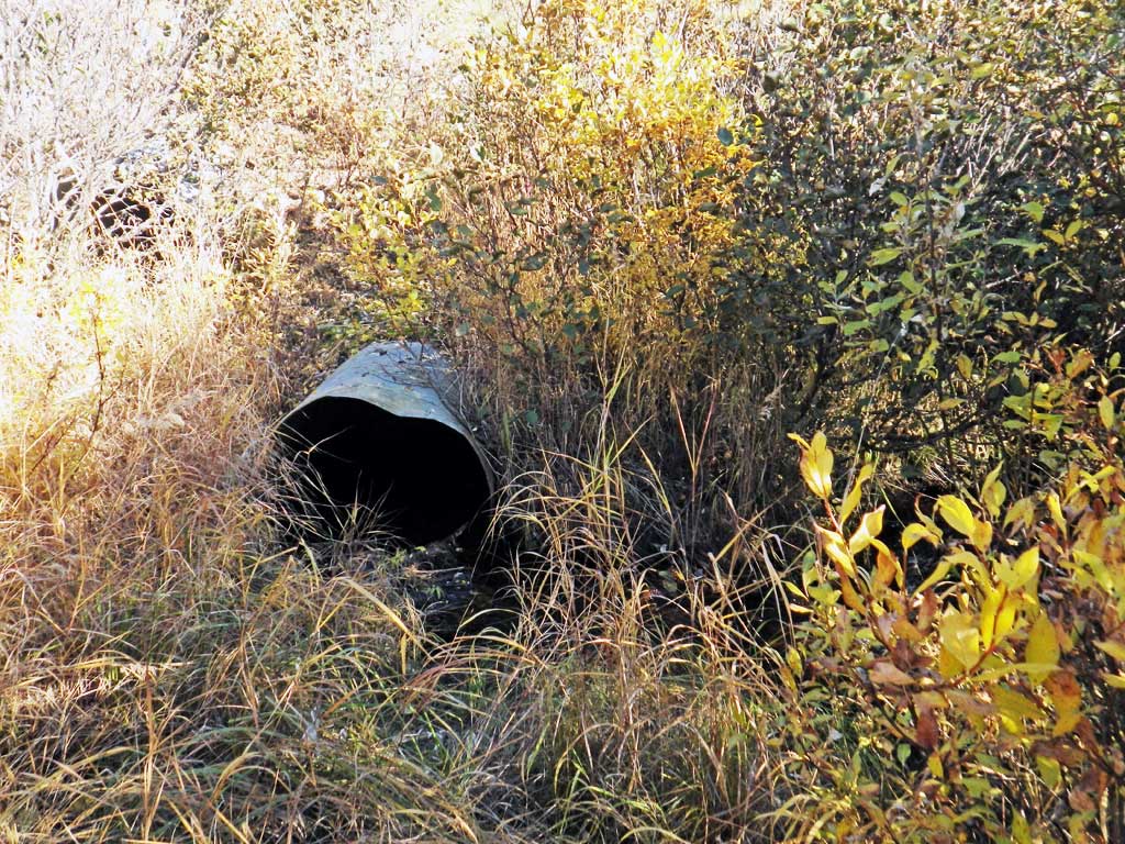
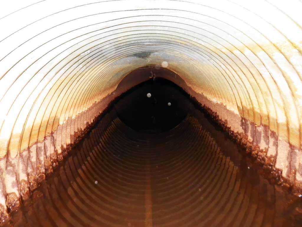
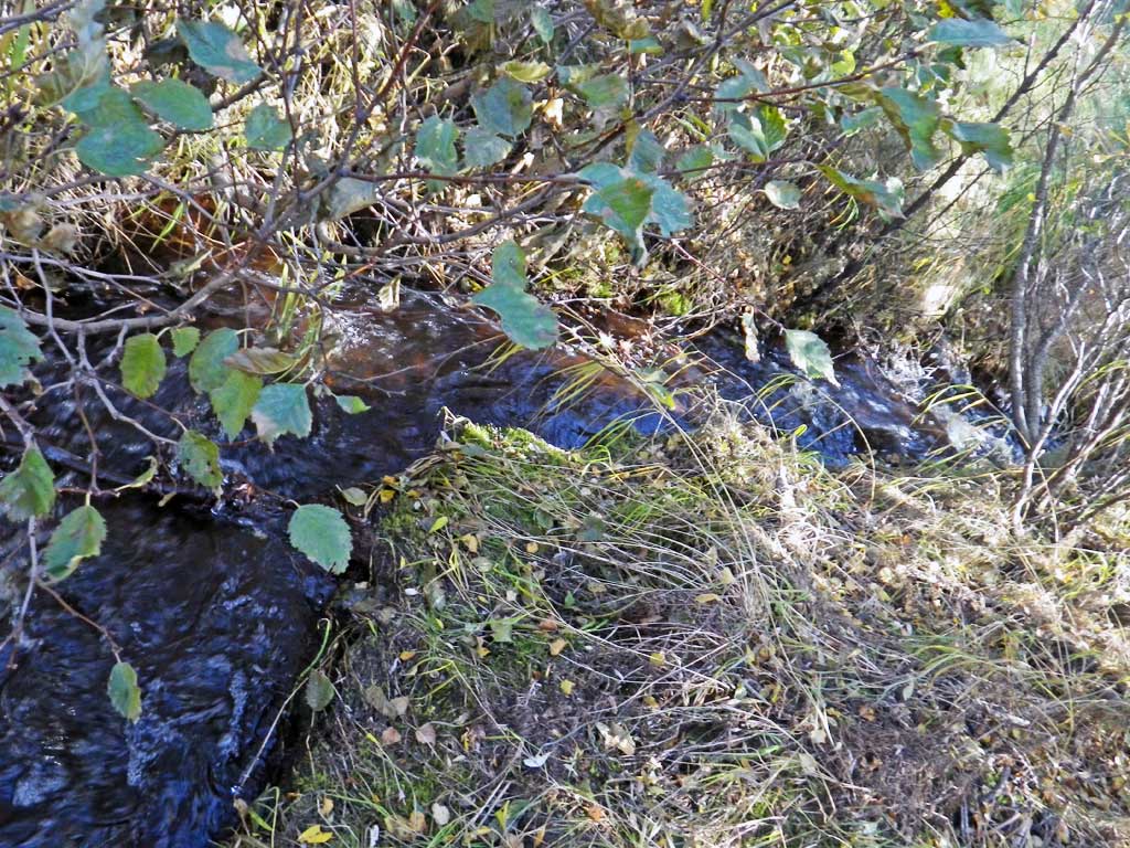
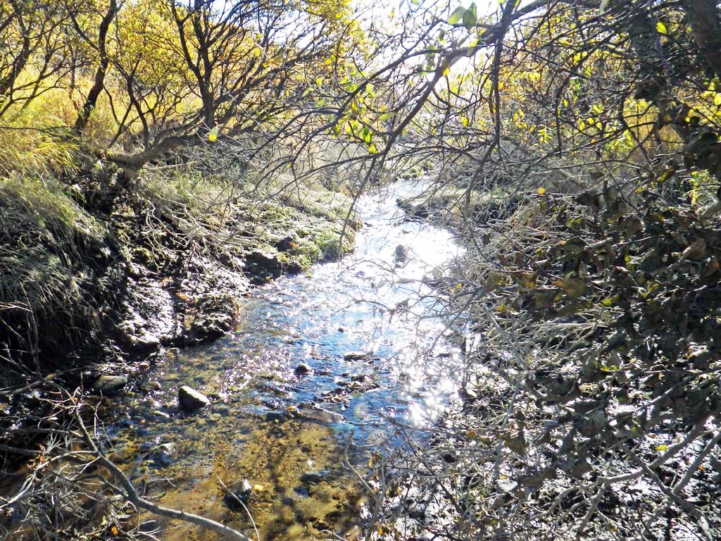
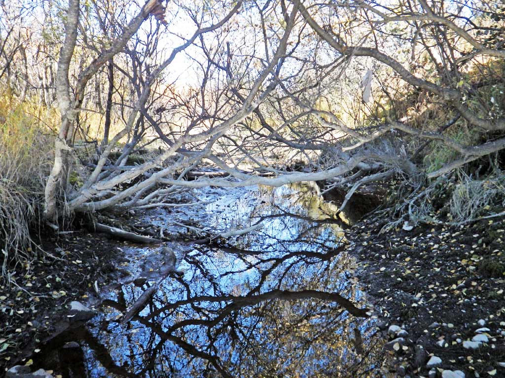
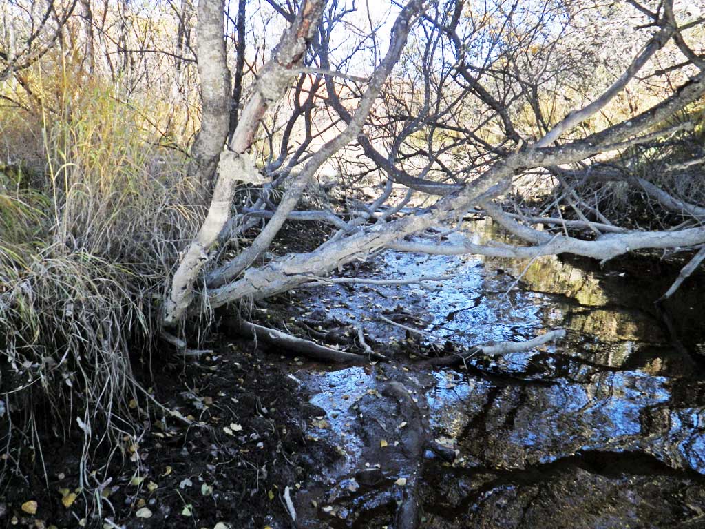
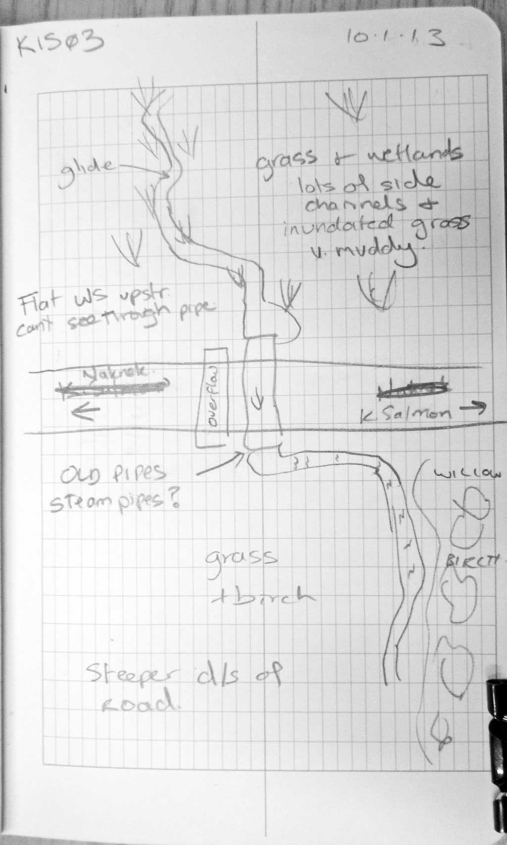
Comments: Upstream is a E-type channel, not very wide but up to 3 feet deep in places. Unable to see through culvert. Downstream creek runs swiftly over cobble for about 200 feet before turning back into a small E-type channel. No fish trapped too cold, no fish observed at site. Upstream habitat looks good for rearing.
Culvert Measurements
| ID: 1 | Structure Type: Circular pipe (Corrugated steel) | Fish Passage Rating: | |||||||||||||||||||||||||||||||||||||||||
|
|
|
|||||||||||||||||||||||||||||||||||||||||
Comments: Culvert length taken with long tape over road (not very accurate, but appoximate). Water surfaces nearly equal on both sides of culvert, but unable to determine if there is free passage inside barrel due to sagging. |
|||||||||||||||||||||||||||||||||||||||||||
Culvert Observations:
|
|||||||||||||||||||||||||||||||||||||||||||
Stream Measurements
|
|
| Stream Width Type | Distance From Crossing (ft) |
Stream Width (ft) |
|---|---|---|
| Upstream ordinary high water | 44.0 | 1.90 |
| Upstream ordinary high water | 61.0 | 1.40 |
| Upstream ordinary high water | 93.0 | 1.60 |
Elevations
| Locator ID | Culvert Number |
River Distance (ft)1 |
Distance From Crossing (ft)2 |
Relative Elevation (ft) |
|---|---|---|---|---|
| Road Elev | 108.87 | |||
| D/S Grade Ctrl (Thalweg) | 0.00 | 93.87 | ||
| D/S Water Surface Elev | 0.00 | 94.34 | ||
| D/S Tailcrest or 1st Thalweg (Kind of a TWC at this flow) | 26.00 | 94.92 | ||
| D/S Water Surface Elev | 26.00 | 95.42 | ||
| Max Pool Depth | 30.00 | 94.30 | ||
| Outlet Pool Water Elev | 30.00 | 95.55 | ||
| D/S Water Surface Elev | 31.00 | 95.54 | ||
| Outlet Culvert Top | 31.00 | 97.45 | ||
| Outlet Invert (On pipe) | 31.00 | 94.48 | ||
| U/S Water Surface Elev | 106.50 | 95.52 | ||
| Inlet Culvert Invert (On pipe) | 106.50 | 93.52 | ||
| Inlet Culvert Top | 106.50 | 96.36 | ||
| U/S Water Surface Elev | 116.50 | 95.55 | ||
| U/S Thalweg | 116.50 | 94.19 |
Notes:
- River distance is measured continuously throughout the survey reach along the thalweg of the stream.
- Measured from each end of the crossing along the thalweg of the stream.
Fish Sampling Efforts
No fish sampling occurred during this survey.
Fish Observations
No fish observations occurred during this survey.
Photos
Questions or comments about this report can be directed to dfg.dsf.webmaster@alaska.gov