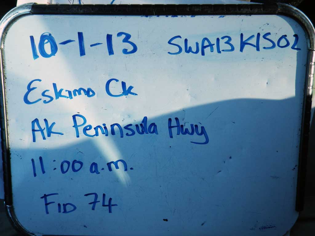
Fish Passage Site 30203269
Coordinates (dec. deg.): 58.68480°, -156.67130°
Legal Description: S017S045W23
Region: Southwest
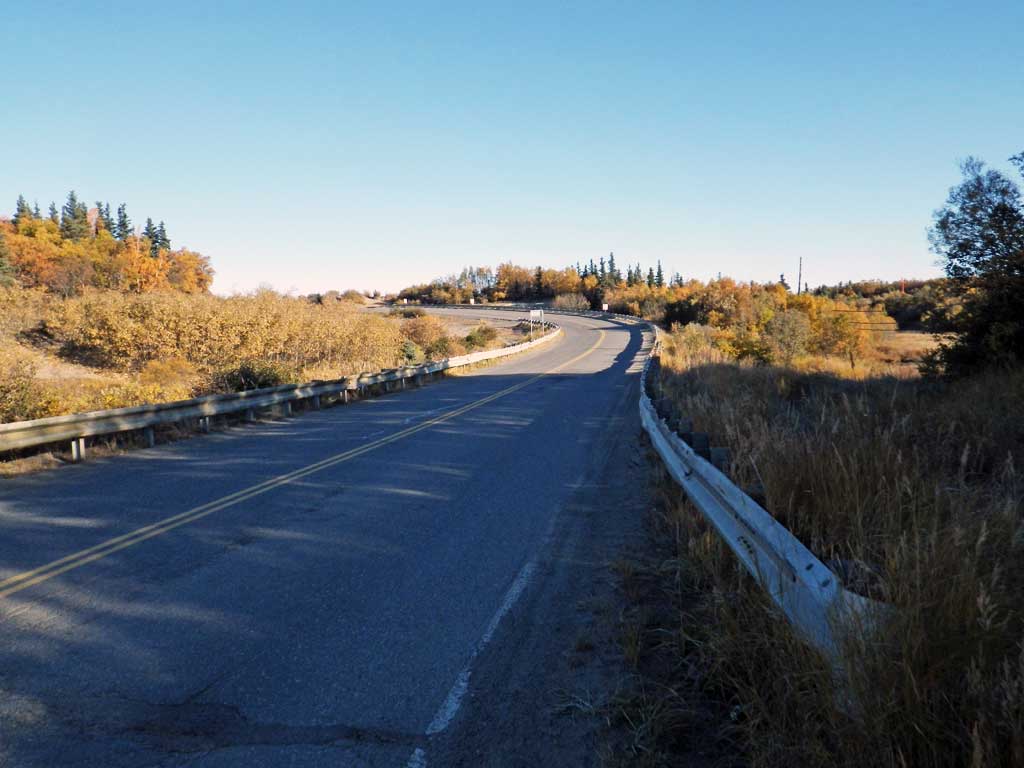
Road Name: Alaska Peninsula Highway
Datum: NAD83
Quad Name / ITM: Naknek C-3
AWC Stream #:
Stream Name: Eskimo Creek
Elevation:
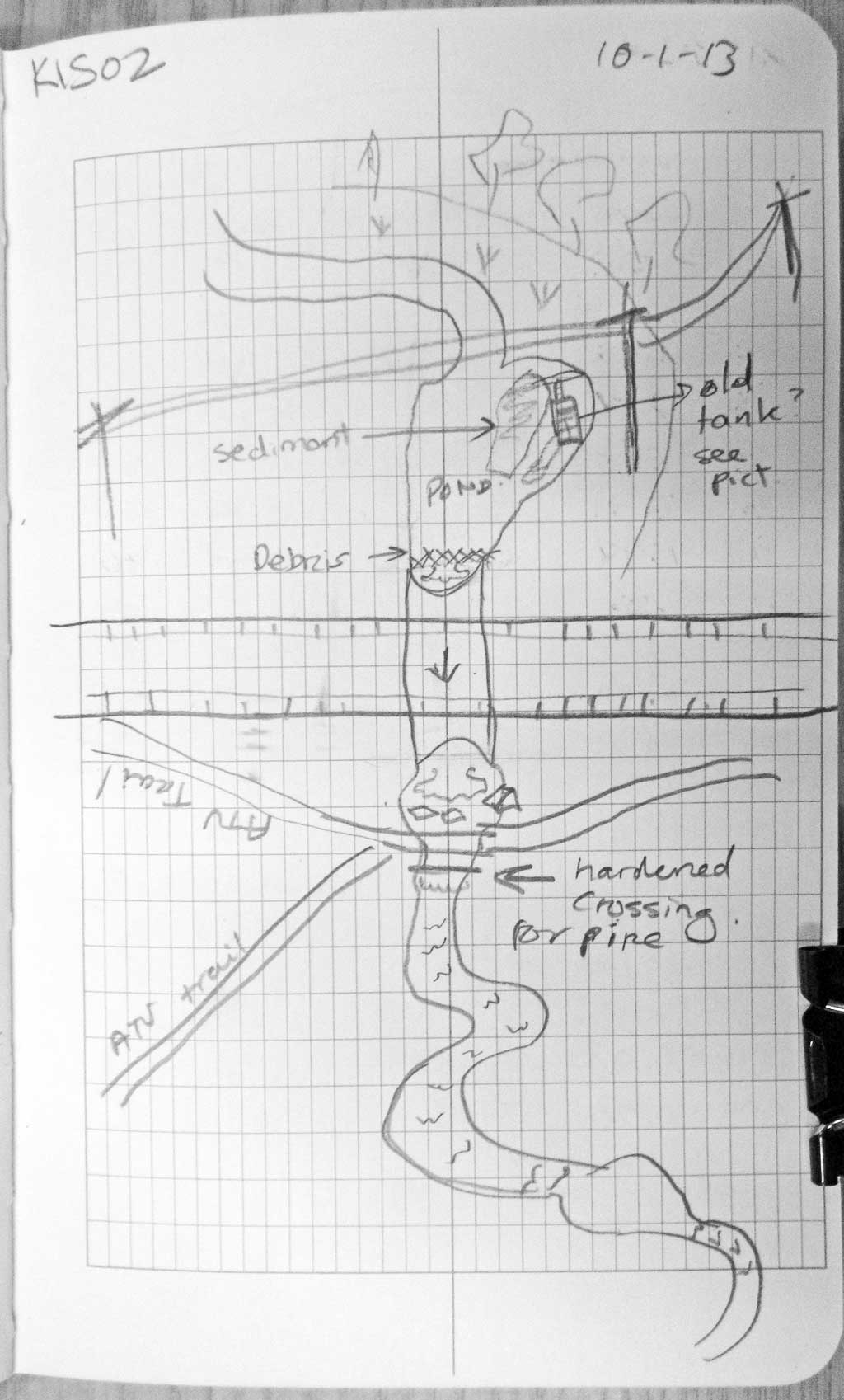
Site Comments: There is another culvert on the Air Force Base about 400 feet upstream from this culvert.
Survey SWA12-KIS02
Project Supervisor: Gillian O'Doherty, Alaska Department of Fish and Game
— Anchorage, AK
Observers: Mark Eisenman, Gillian O'Doherty
Overall Fish Passage Rating:
Tidal: No
Backwatered: No
Step Pools: No
Construction Year:
Site Observations:
- Outfall height red
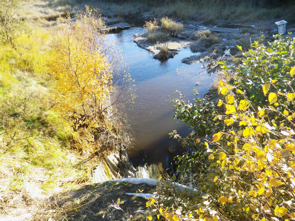
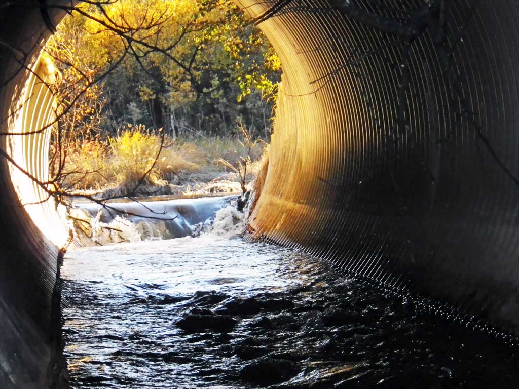
- Inlet perch
- Beaver Activity
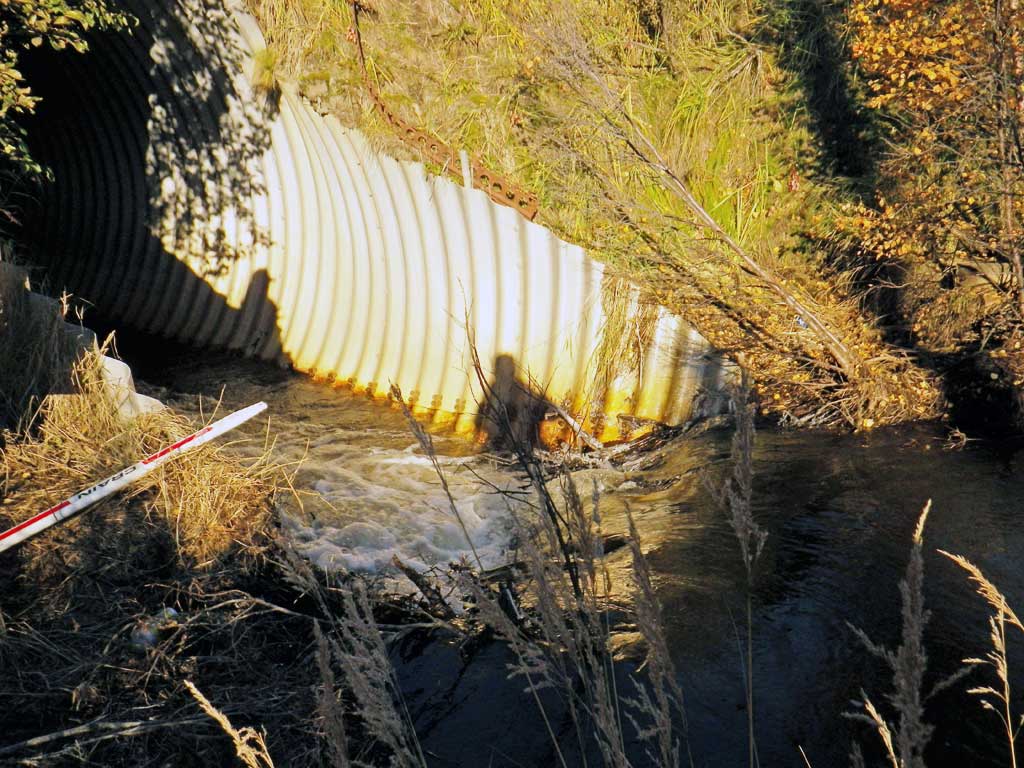
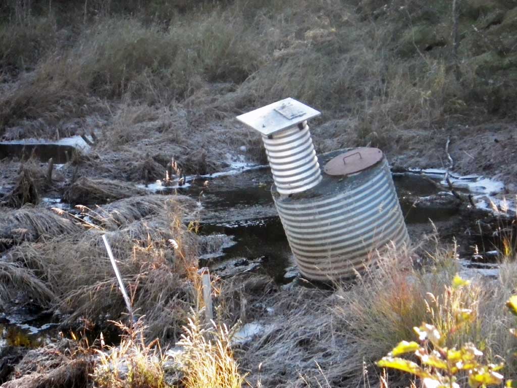
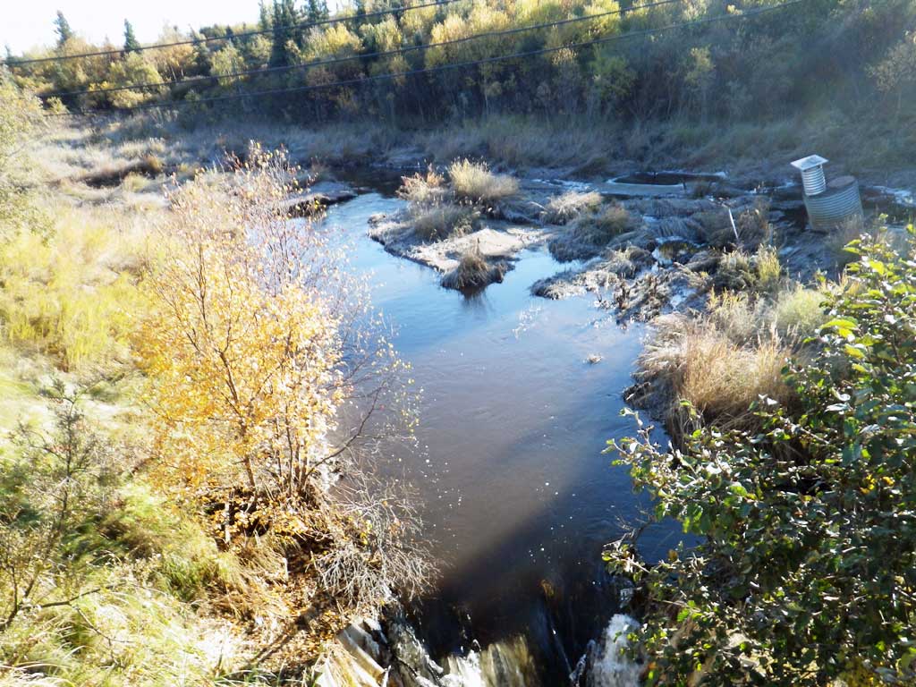
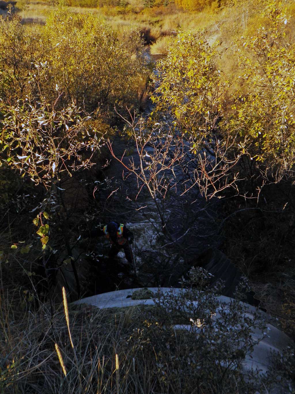
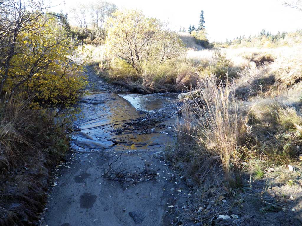
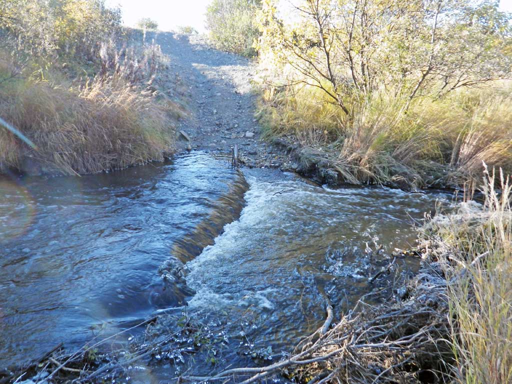
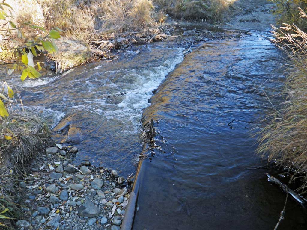
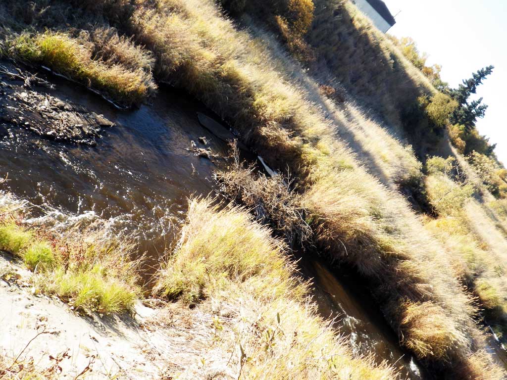
Comments: Remenants of an old beaver dam at inlet creating inlet perch. ATV trail cuts across stream directly below outlet. Outlet pool and gradient being held back by old pipe. Long riffle downstream. Upstream is a remenant of an old beaver pond complex. No traps set, too cold. No fish observed at site.
Culvert Measurements
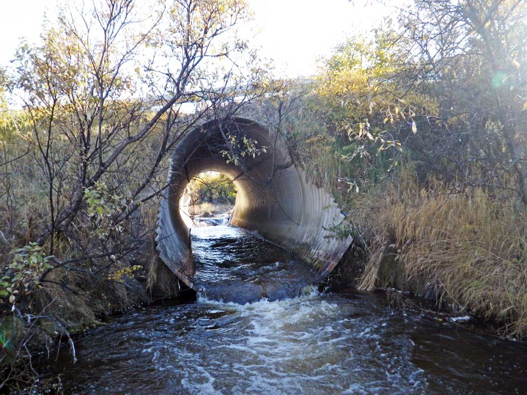
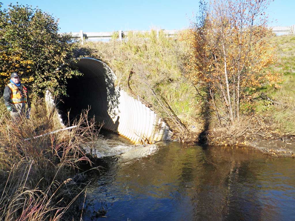
| ID: 1 | Structure Type: Oval (Structural aluminum plate) | Fish Passage Rating: | |||||||||||||||||||||||||||||||||||||||||
|
|
|
|||||||||||||||||||||||||||||||||||||||||
Comments: Inlet miter 15 feet, outlet miter 13 feet. Inlet substrate estimated. |
|||||||||||||||||||||||||||||||||||||||||||
Culvert Observations:
|
|||||||||||||||||||||||||||||||||||||||||||
Stream Measurements
|
|
| Stream Width Type | Distance From Crossing (ft) |
Stream Width (ft) |
|---|---|---|
| Upstream ordinary high water | 11.20 | |
| Upstream ordinary high water | 11.70 | |
| Upstream ordinary high water | 10.00 |
Elevations
| Locator ID | Culvert Number |
River Distance (ft)1 |
Distance From Crossing (ft)2 |
Relative Elevation (ft) |
|---|---|---|---|---|
| Road Elev | 97.91 | |||
| D/S Thalweg (in riffle) | 0.00 | 79.88 | ||
| D/S Water Surface Elev | 0.00 | 81.18 | ||
| D/S Water Surface Elev | 56.00 | 82.28 | ||
| Max Pool Depth (pool below pipe crossing) | 56.00 | 81.07 | ||
| D/S Water Surface Elev | 57.00 | 82.71 | ||
| D/S Tailcrest or 1st Thalweg (Pipe crossing and Tailwater control) | 57.00 | 82.17 | ||
| Max Pool Depth | 76.00 | 79.94 | ||
| Outlet Pool Water Elev | 76.00 | 82.68 | ||
| Outlet Invert (on pipe) | 86.00 | 82.23 | ||
| D/S Water Surface Elev | 86.00 | 83.05 | ||
| Outlet Culvert Top | 99.00 | 94.90 | ||
| Inlet Culvert Top | 148.00 | 95.29 | ||
| U/S Water Surface Elev (inside pipe, below inlet perch) | 160.00 | 83.53 | ||
| Inlet Culvert Invert (on top of beaver dam) | 163.00 | 83.93 | ||
| U/S Water Surface Elev | 163.00 | 85.65 | ||
| U/S Water Surface Elev | 173.00 | 85.73 | ||
| U/S Thalweg | 173.00 | 83.03 |
Notes:
- River distance is measured continuously throughout the survey reach along the thalweg of the stream.
- Measured from each end of the crossing along the thalweg of the stream.
Fish Sampling Efforts
No fish sampling occurred during this survey.
Fish Observations
No fish observations occurred during this survey.
Photos
Questions or comments about this report can be directed to dfg.dsf.webmaster@alaska.gov