Fish Passage Site 20703249
Coordinates (dec. deg.): 57.76713°, -152.52919°
Legal Description: S028S020W09
Region: Southwest
Road Name: Magazine Access Road
Datum: NAD83
Quad Name / ITM: Kodiak D-2
AWC Stream #: 259-21-10120-2011-3121
Stream Name: Battery Creek Tributary
Elevation:
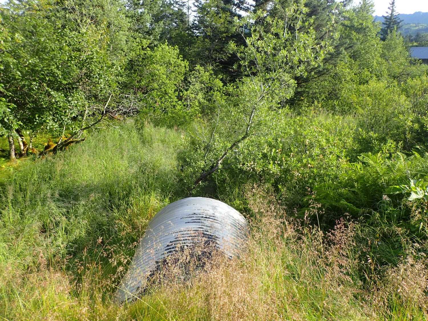
Site Comments: Culvert located at MP 0.3. Creek is an unnamed tributary to Battery Creek. Site is behind a locked Coast Guard gate. Confluence of another small stream 19ft upstream of inlet
arrow to the right of the survey date below to choose a different report for this site.
Survey UPD21-MAR05
Project Supervisor: Kim Clark, ADFG
— Anchorage, AK
Observers: Kim Clark, Michael Mazzacavallo
Overall Fish Passage Rating:
Tidal: No
Backwatered: No
Step Pools: No
Construction Year: 2019
Site Observations:
- Culvert sagging in middle
Comments: Very small wetland stream. Confluence with another small stream 19ft upstream of inlet. Channel gradient was 0.5% upstream of the culvert and 1.16% downstream of the culvert per designs. The designed pipe gradient was 3.25% . There is a slight sag in the middle of middle of the culvert.
Culvert Measurements
| ID: 1 | Structure Type: Circular pipe (Corrugated aluminum) | Fish Passage Rating: | ||||||||||||||||||||||||||||||||||||||||||
|
|
|
||||||||||||||||||||||||||||||||||||||||||
Comments: Top of culvert gradient 2051%. Water Surface Gradient 2.53%. Invert Gradient 2.4%. Culvert dimesions from designs are 13'3"x 6'9"x 63" |
||||||||||||||||||||||||||||||||||||||||||||
Culvert Observations:
|
||||||||||||||||||||||||||||||||||||||||||||
Stream Measurements
|
|
| Stream Width Type | Distance From Crossing (ft) |
Stream Width (ft) |
|---|---|---|
| Downstream ordinary high water | 36.0 | 2.50 |
| Downstream ordinary high water | 46.0 | 3.80 |
| Downstream ordinary high water | 75.0 | 2.60 |
Elevations
| Locator ID | Culvert Number |
River Distance (ft)1 |
Distance From Crossing (ft)2 |
Relative Elevation (ft) |
|---|---|---|---|---|
| Road Elev (road surface) | 102.44 | |||
| D/S Thalweg | 0.00 | 94.89 | ||
| D/S Water Surface Elev | 0.00 | 95.52 | ||
| D/S Water Surface Elev | 10.00 | 95.57 | ||
| D/S Thalweg (bottom of riffle) | 10.00 | 95.42 | ||
| D/S Thalweg | 21.00 | 95.82 | ||
| D/S Water Surface Elev | 21.00 | 96.03 | ||
| D/S Water Surface Elev | 25.00 | 96.05 | ||
| Outlet Invert | 25.00 | 95.80 | ||
| Outlet Culvert Top | 25.00 | 100.00 | ||
| Inlet Culvert Top | 75.20 | 101.26 | ||
| Inlet Culvert Invert | 75.20 | 97.07 | ||
| U/S Water Surface Elev | 75.20 | 97.25 | ||
| U/S Thalweg | 81.20 | 97.11 | ||
| U/S Water Surface Elev | 81.20 | 97.36 | ||
| U/S Water Surface Elev | 88.80 | 97.53 | ||
| U/S Thalweg | 88.80 | 97.11 | ||
| U/S Thalweg (spring comes in at 19) | 95.20 | 96.98 | ||
| U/S Water Surface Elev | 95.20 | 97.61 | ||
| U/S Water Surface Elev | 106.20 | 97.59 | ||
| U/S Thalweg (pool depth) | 106.20 | 96.39 | ||
| U/S Water Surface Elev | 109.20 | 97.59 | ||
| U/S Thalweg (pool crest) | 109.20 | 97.35 |
Notes:
- River distance is measured continuously throughout the survey reach along the thalweg of the stream.
- Measured from each end of the crossing along the thalweg of the stream.
Fish Sampling Efforts
No fish sampling occurred during this survey.
Fish Observations
No fish observations occurred during this survey.
Photos


Questions or comments about this report can be directed to dfg.dsf.webmaster@alaska.gov