Fish Passage Site 20700856
Coordinates (dec. deg.): 57.69285°, -152.58409°
Legal Description: S029S021W01
Region: Southwest
Road Name: Panamaroff Creek Road
Datum: WGS84
Quad Name / ITM: Kodiak C-2
AWC Stream #: 259.22-10026-2025
Stream Name: Unnamed Tributary to Panamaroff Creek
Elevation:
Site Comments: None
arrow to the right of the survey date below to choose a different report for this site.
Survey UPDATE-0856
Project Supervisor: Gillian O'Doherty, ADFG
Observers: William Frost
Overall Fish Passage Rating:
Tidal:
Backwatered:
Step Pools:
Construction Year: 2012
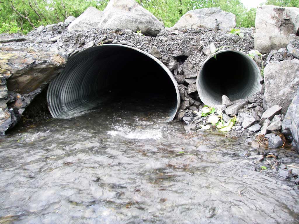
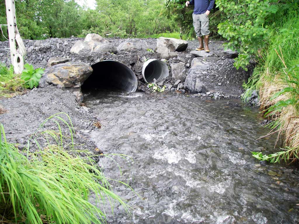
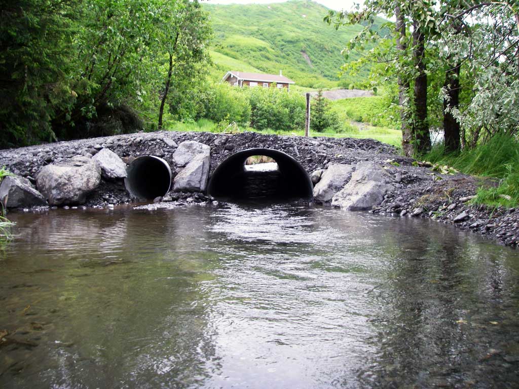
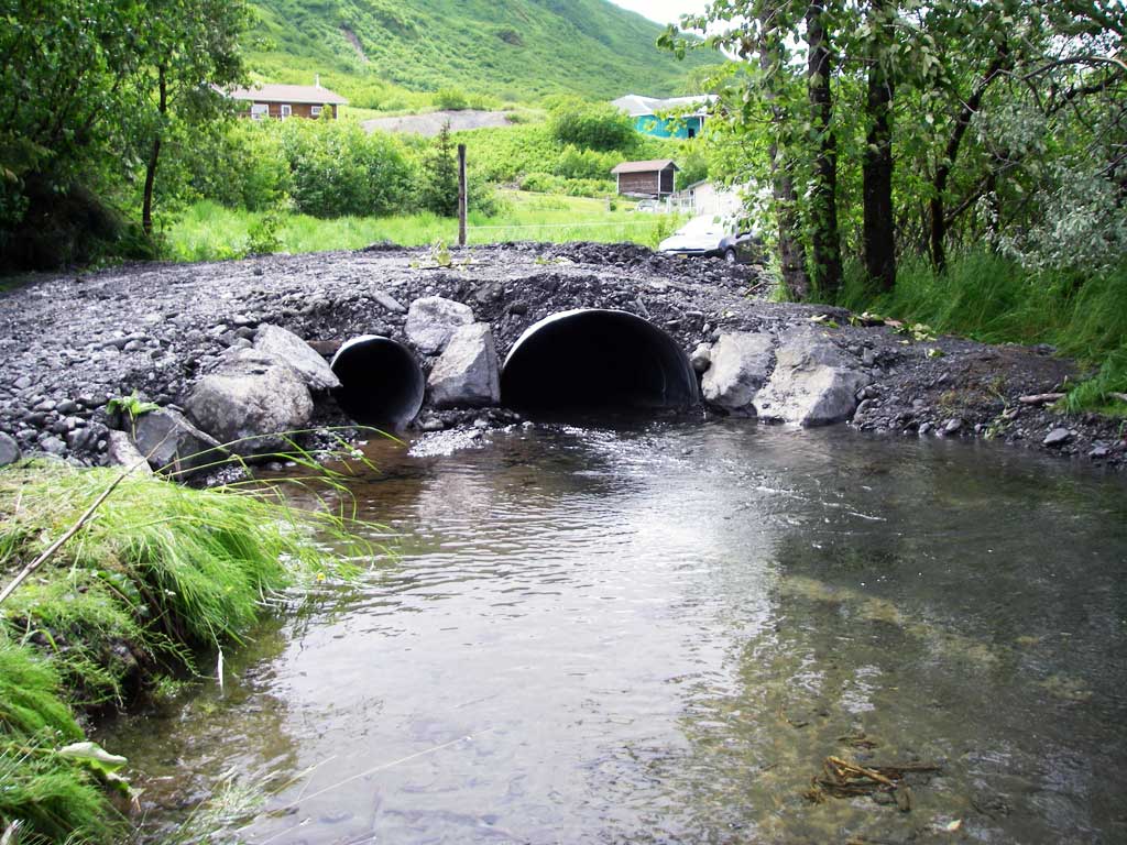
Comments: Old wood stave culverts were replaced in 2012. Site has not been reassessed.
Culvert Measurements
| ID: 1 | Structure Type: Oval (Corrugated steel) | Fish Passage Rating: | |||||||||||||||||||||||||||||||||||||||||
|
|
|
|||||||||||||||||||||||||||||||||||||||||
Comments: All measurements taken from site plan and habitat permit and have not been verififed by project staff. Permit required the culvert to be embedded 20% and have a gradient less than 1%. C2 was to be set about 14 inches above C1 invert. Culvert width 4 ft, culvert height 3.16 ft. |
|||||||||||||||||||||||||||||||||||||||||||
| ID: 2 | Structure Type: Circular pipe (Corrugated steel) | Fish Passage Rating: | |||||||||||||||||||||||||||||||||||||||||
|
|
|
|||||||||||||||||||||||||||||||||||||||||
Comments: Culvert measurements not verified. Site plans call for a 2 foot diameter overflow culvert. |
|||||||||||||||||||||||||||||||||||||||||||
Stream Measurements
|
|
No stream width data available.
Elevations
No elevation data available.
Fish Sampling Efforts
No fish sampling occurred during this survey.
Fish Observations
No fish observations occurred during this survey.
Photos
Questions or comments about this report can be directed to dfg.dsf.webmaster@alaska.gov