Fish Passage Site 20601555
Coordinates (dec. deg.): 61.05074°, -151.30024°
Legal Description: S011N011W18
Region: South Central
Road Name:
Datum: NAD83
Quad Name / ITM: Tyonek A-4
AWC Stream #:
Stream Name: Unnamed
Elevation:
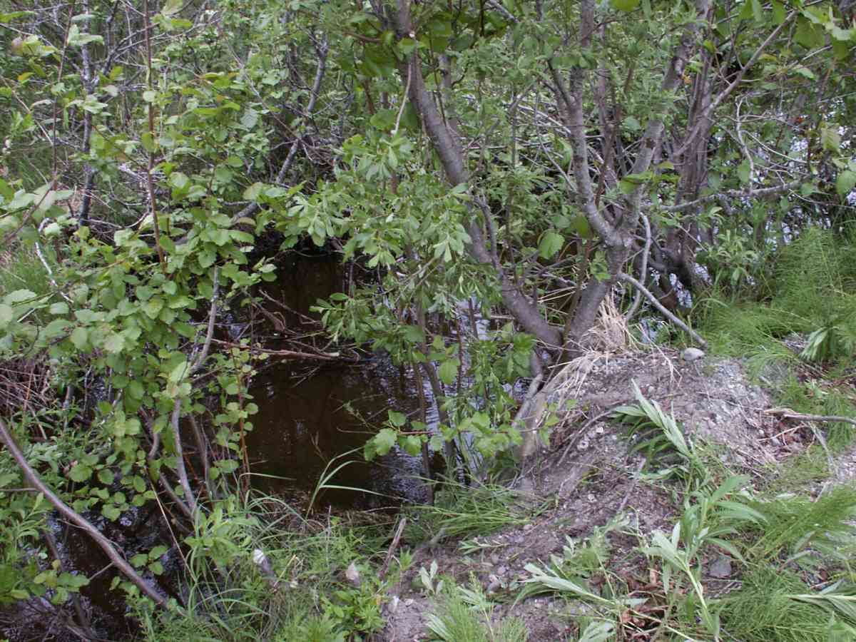
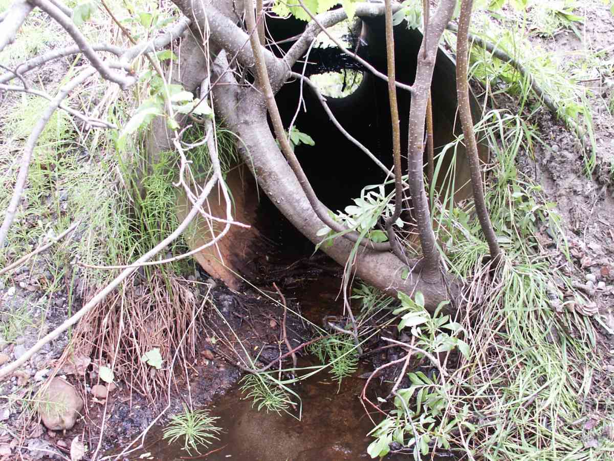
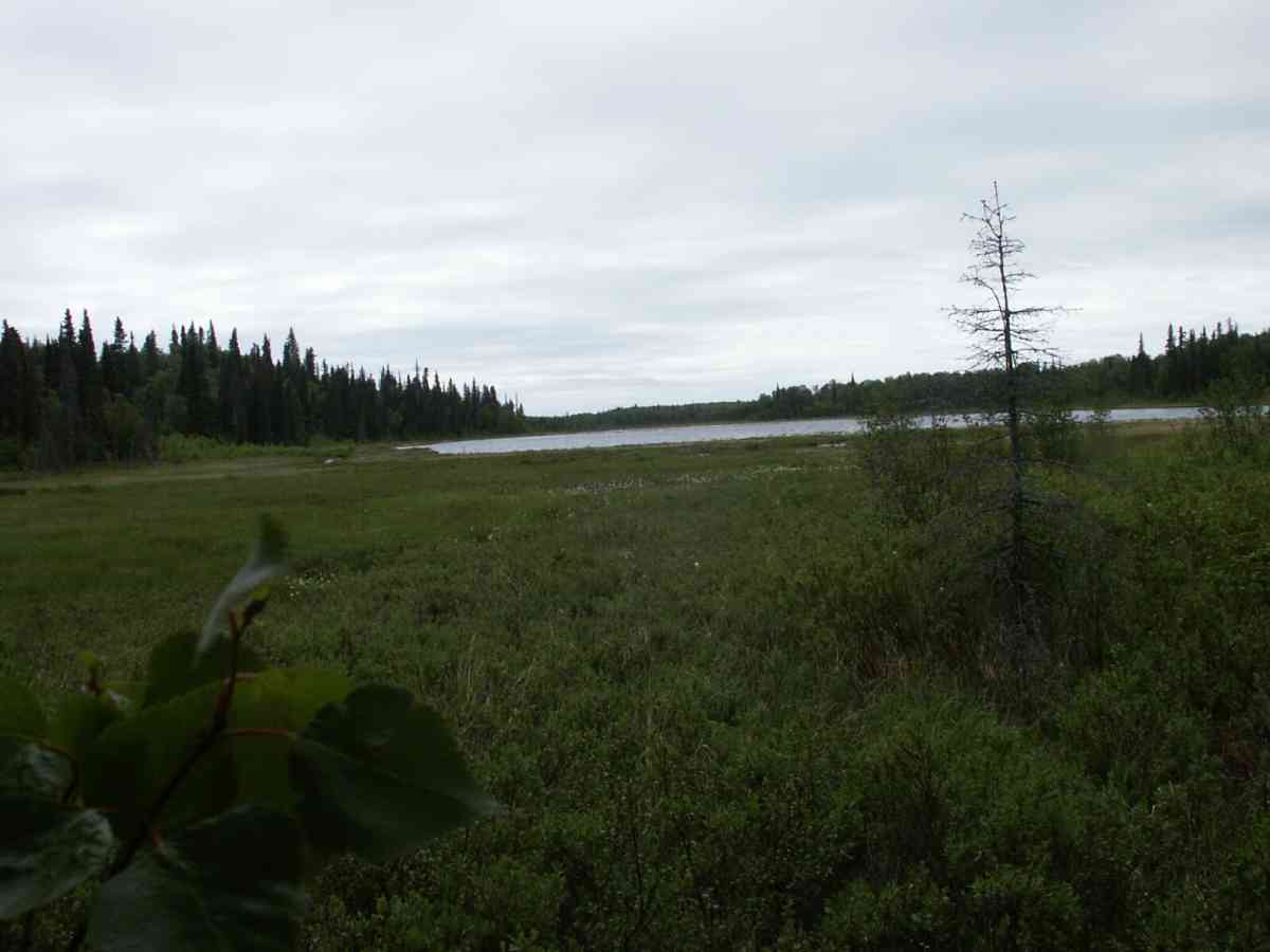
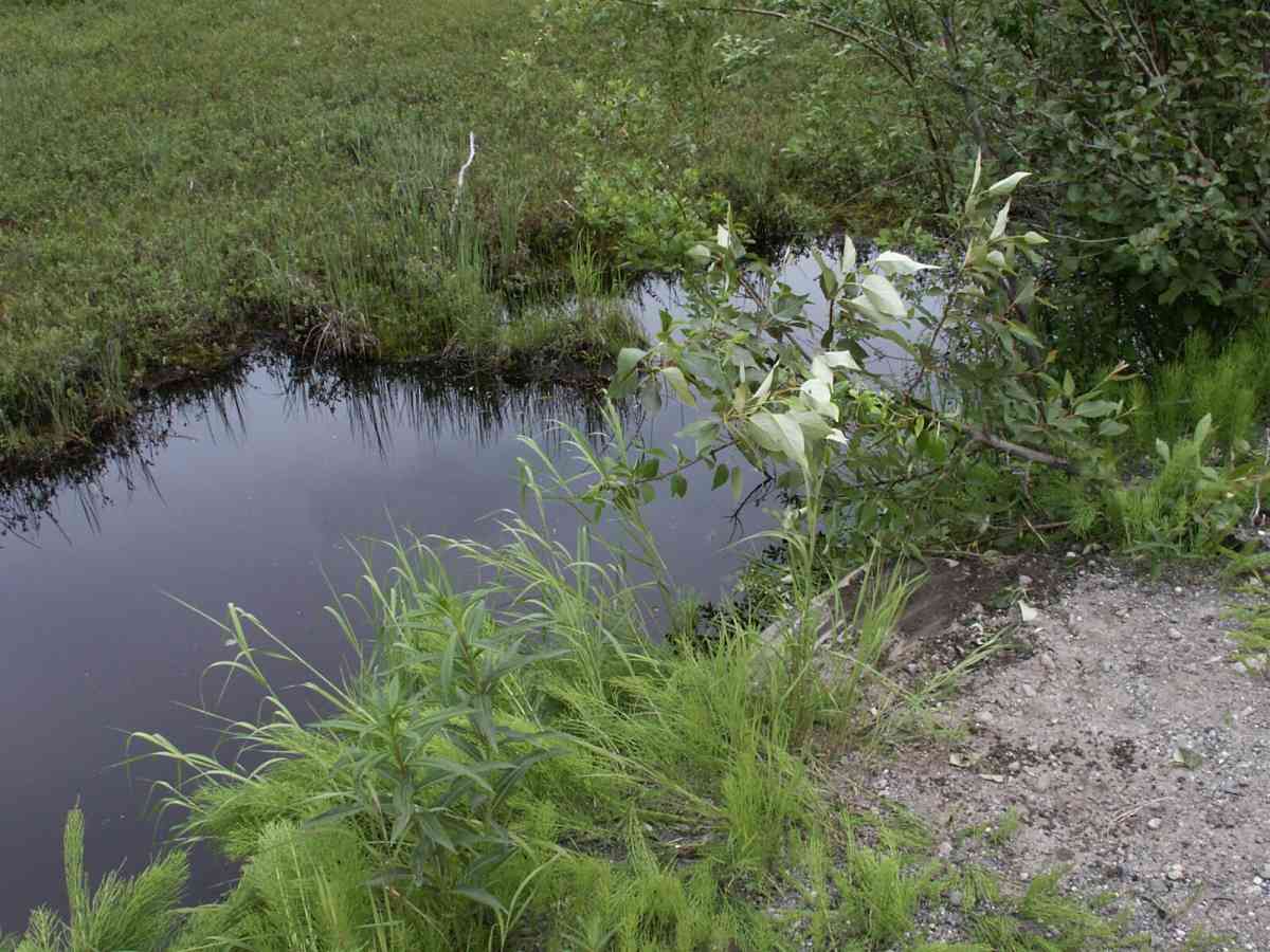
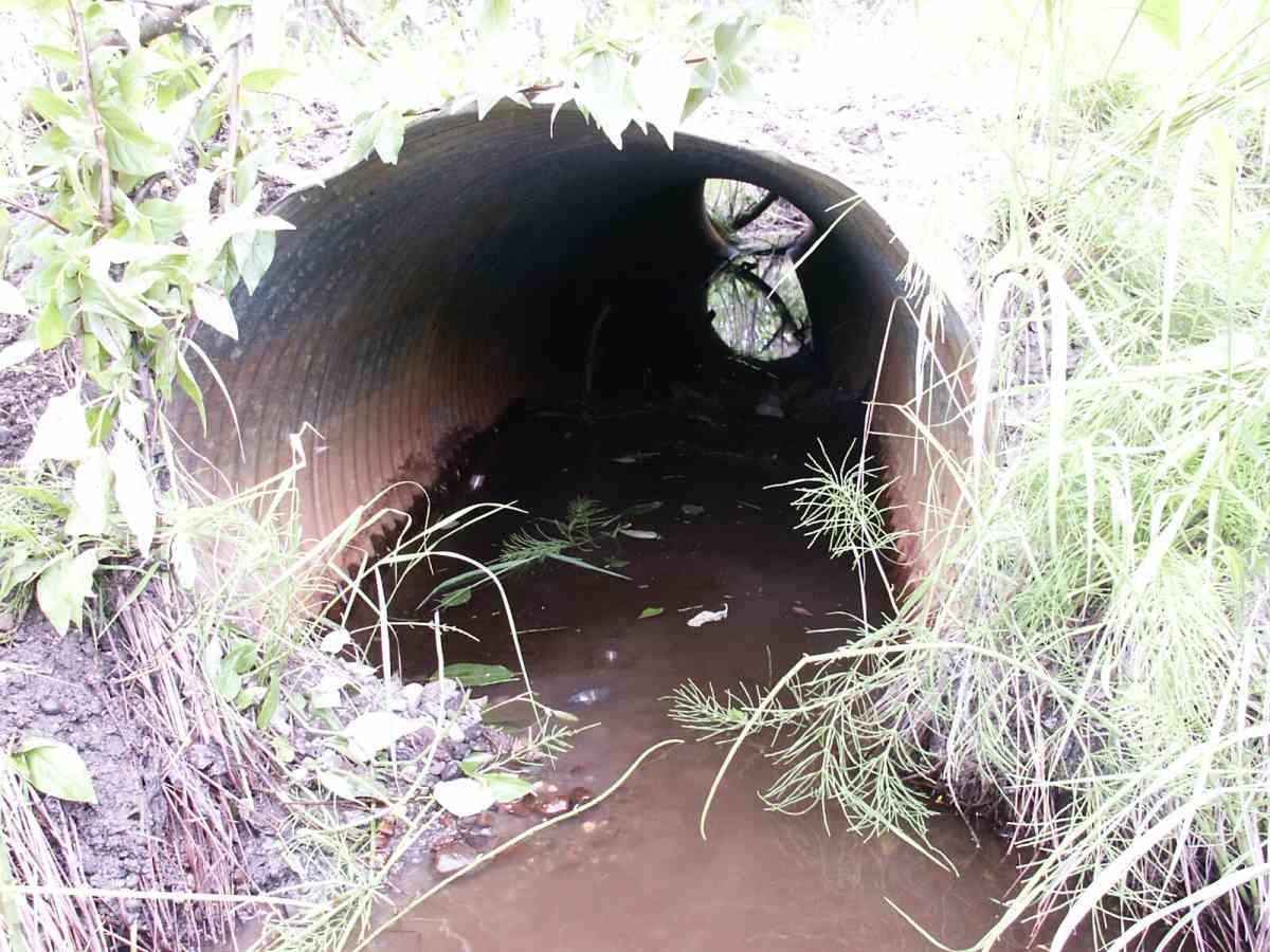
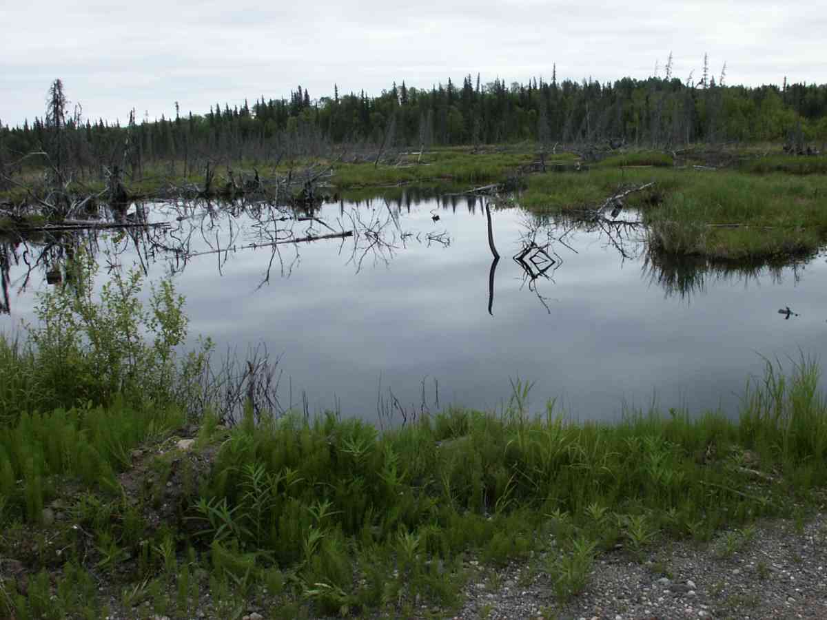
Site Comments: . Culvert separates wetland areas - no channel. Lake DS, pond US.
Survey TYCS1-TY029
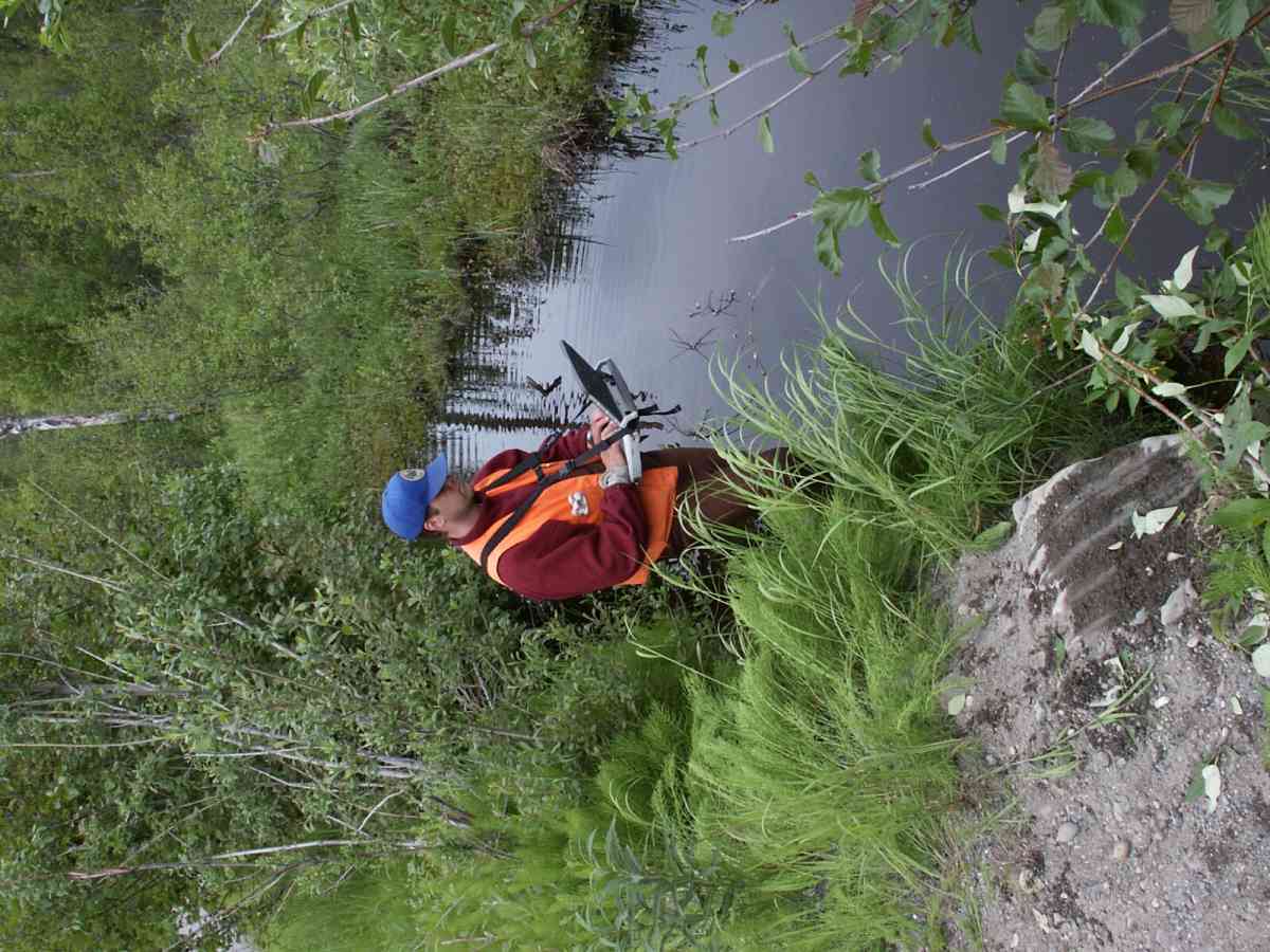
Observers: Cecil Rich, Michael Anderson, Joe Buckwalter
Overall Fish Passage Rating:
Tidal: No
Backwatered: No
Step Pools:
Construction Year:
Comments: Datum = WGS84. 17.9 ft gps accuracy. Culvert separates wetland areas - no channel. Lake DS, pond US.
Culvert Measurements
| ID: 1 | Structure Type: Circular pipe (Corrugated Metal) | Fish Passage Rating: | |||||||||||||||||||||||||||||||||||||||||
|
|
|
|||||||||||||||||||||||||||||||||||||||||
Culvert Observations:
|
|||||||||||||||||||||||||||||||||||||||||||
Stream Measurements
|
|
No stream width data available.
Elevations
| Locator ID | Culvert Number |
River Distance (ft)1 |
Distance From Crossing (ft)2 |
Relative Elevation (ft) |
|---|---|---|---|---|
| D/S Thalweg | 0.00 | 7.5 | 91.34 | |
| Max Pool Depth | 1 | 2.50 | 5.0 | 91.51 |
| OHW Left Bank | 6.50 | 1.0 | 92.73 | |
| OHW Left Bank | 6.50 | 1.0 | 93.08 | |
| Outlet Rustline Height | 1 | 7.50 | 0.0 | 93.10 |
| Outlet Invert | 1 | 7.50 | 0.0 | 92.76 |
| Outlet Thalweg | 1 | 7.50 | 0.0 | 92.64 |
| Outlet Culvert Top | 1 | 7.50 | 0.0 | 95.80 |
| Road Elev | 22.50 | 96.05 | ||
| Road Elev | 22.50 | 96.28 | ||
| Inlet Rustline Height | 1 | 37.50 | 0.0 | 93.69 |
| Inlet Culvert Top | 1 | 37.50 | 0.0 | 95.68 |
| Inlet Thalweg | 1 | 37.50 | 0.0 | 93.26 |
| U/S Thalweg | 1 | 38.50 | 1.0 | 93.08 |
| U/S OHW elevation | 1 | 38.50 | 1.0 | 93.62 |
| U/S Thalweg | 1 | 42.50 | 5.0 | 90.86 |
| U/S Water Surface Elev | 1 | 42.50 | 5.0 | 93.37 |
Notes:
- River distance is measured continuously throughout the survey reach along the thalweg of the stream.
- Measured from each end of the crossing along the thalweg of the stream.
Fish Sampling Efforts
| Gear Type: Minnow Trap, 1/4 in. Mesh (A) | Trap Duration(h): 1 | |
| Gear Type: Minnow Trap, 1/4 in. Mesh (B) | Trap Duration(h): 1 | |
Fish Observations
| Species: ninespine stickleback | Life History: Resident | ||
| Total Fish Observed: 1 | Fish Measured: | Fork Lengths (mm) Min: Max: Mean: | |
| Collected/Observed by Gear Type: Downstream Minnow Trap, 1/4 in. Mesh (1) | |||
| Species: no fish collected or observed | Life History: Not Applicable | ||
| Total Fish Observed: 0 | Fish Measured: | Fork Lengths (mm) Min: Max: Mean: | |
| Collected/Observed by Gear Type: Upstream Minnow Trap, 1/4 in. Mesh (0) | |||
Photos
Questions or comments about this report can be directed to dfg.dsf.webmaster@alaska.gov